Hyde's Bottom

Valley in Gloucestershire Stroud

England

Hyde's Bottom

Woodland north of railway line Dense woodland adorns the hills to the north of the Severn and Thames Canal. Bristley Hill Wood and (to the right) Tanner's Wood are located here.
Woodland north of railway line Credit: Clint Mann

Hyde's Bottom is a picturesque valley located in the county of Gloucestershire, England. Nestled in the heart of the Cotswolds, this enchanting countryside destination offers a tranquil and idyllic setting for visitors to explore.

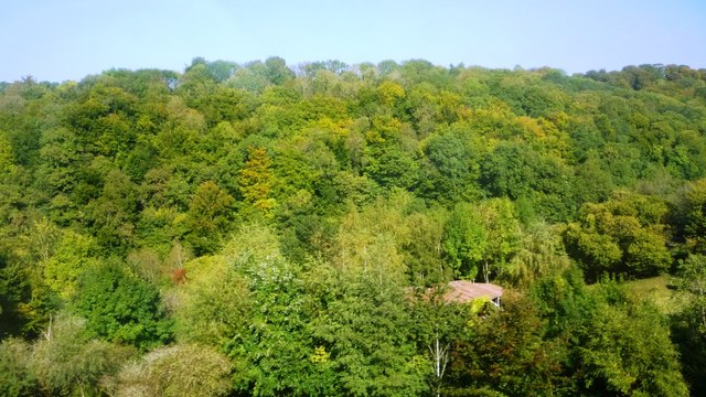
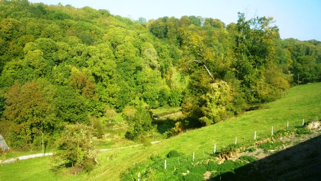
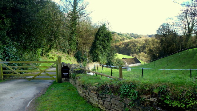
The valley is characterized by its rolling green hills, meandering streams, and charming stone cottages. The surrounding landscape is dotted with ancient woodlands and meadows, providing a haven for wildlife and nature enthusiasts alike. The area is known for its rich biodiversity, with a wide variety of plant and animal species calling Hyde's Bottom home.

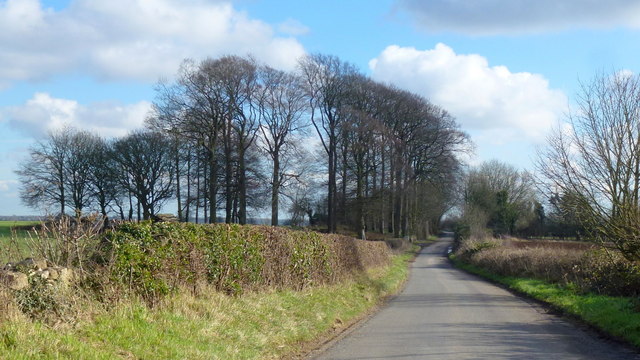
Visitors to Hyde's Bottom can enjoy a range of outdoor activities such as hiking, cycling, and horseback riding. There are numerous scenic trails that wind through the valley, providing breathtaking views of the surrounding countryside. The valley also offers ample opportunities for picnicking and photography, with its picturesque vistas and quaint rural charm.

In addition to its natural beauty, Hyde's Bottom boasts a rich history and cultural heritage. The valley is home to several historic landmarks, including centuries-old churches and manor houses. Local events and festivals celebrate the traditions and customs of the area, providing an authentic glimpse into the local way of life.

Whether it's immersing oneself in nature, exploring historical sites, or simply escaping the hustle and bustle of city life, Hyde's Bottom offers a serene and captivating experience for visitors of all ages. With its timeless beauty and tranquil atmosphere, it is no wonder that this hidden gem in Gloucestershire continues to enchant and inspire those who venture into its embrace.

If you have any feedback on the listing, please let us know in the comments section below.

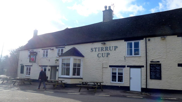
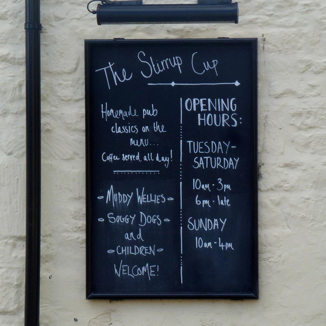
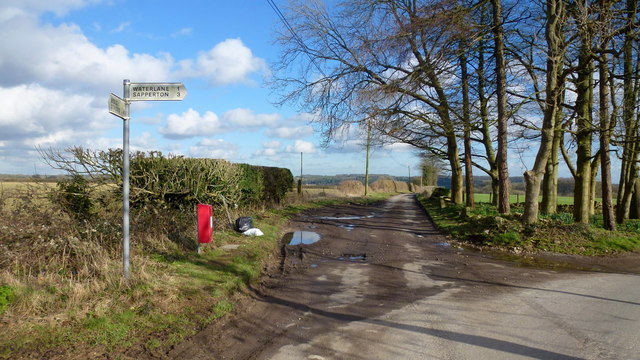
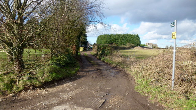
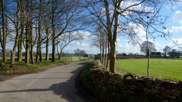
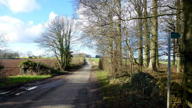
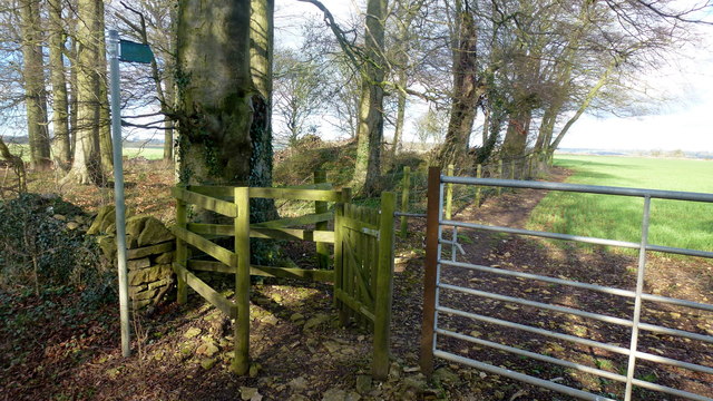
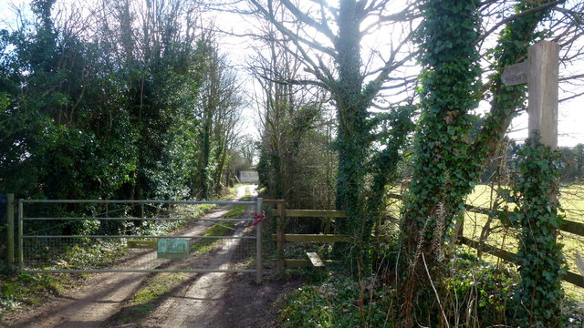
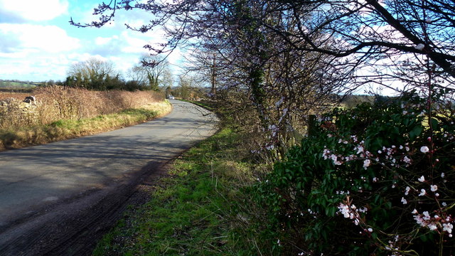
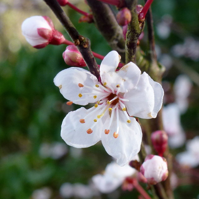
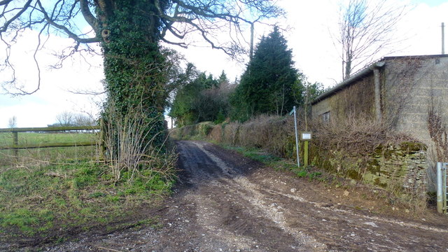
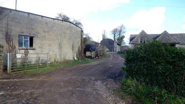
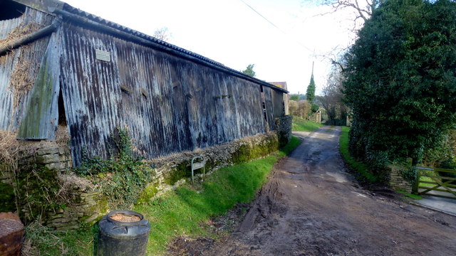
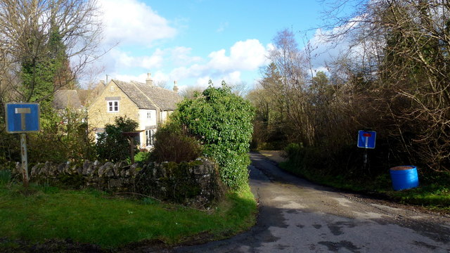
Hyde's Bottom Images

Images are sourced within 2km of 51.740277/-2.1286291 or Grid Reference SO9104. Thanks to Geograph Open Source API. All images are credited.

Woodland north of railway line Dense woodland adorns the hills to the north of the Severn and Thames Canal. Bristley Hill Wood and (to the right) Tanner's Wood are located here.
Woodland north of railway line
Dense woodland adorns the hills to the north of the Severn and Thames Canal. Bristley Hill Wood and (to the right) Tanner's Wood are located here.
Trackway and canal in the Golden Valley Viewed from the railway line. Tanner's Wood seen in background.
Trackway and canal in the Golden Valley
Viewed from the railway line. Tanner's Wood seen in background.
Limekiln Lane, 1 Heading south-east towards Waterlane. The beech copse surrounds Bisley long barrow.
It's the time of year when beech trees look black against a sunny winter sky.
Limekiln Lane, 1
Heading south-east towards Waterlane. The beech copse surrounds Bisley long barrow. It's the time of year when beech trees look black against a sunny winter sky.
Entrance to Watercombe House Set in a secluded Cotswold valley.
Entrance to Watercombe House
Set in a secluded Cotswold valley.
The Stirrup Cup, Bisley Walker-friendly pub at the north end of the village.
The Stirrup Cup, Bisley
Walker-friendly pub at the north end of the village.
Notice on the Stirrup Cup Not unfriendly to outdoor-types!
Notice on the Stirrup Cup
Not unfriendly to outdoor-types!
Hayhedge Lane, Bisley The lane leads a to dead end at Battlescombe. Right is Limekiln Lane.
Hayhedge Lane, Bisley
The lane leads a to dead end at Battlescombe. Right is Limekiln Lane.
Track and footpath to Bisley Leading north-west from the lane junction in <a href="https://www.geograph.org.uk/photo/5013309">SO9005 : Hayhedge Lane, Bisley</a>.
Track and footpath to Bisley
Leading north-west from the lane junction in SO9005 : Hayhedge Lane, Bisley.
Limekiln Lane Looking south-east from Hayhedge Lane, Bisley.
Limekiln Lane
Looking south-east from Hayhedge Lane, Bisley.
Limekiln Lane, 2 The opposite view to <a href="https://www.geograph.org.uk/photo/4824246">SO9105 : Limekiln Lane, 1</a>.
Limekiln Lane, 2
The opposite view to SO9105 : Limekiln Lane, 1.
Footpath by Bisley barrow The path heads north from Limekiln Lane to Battlescombe.
Footpath by Bisley barrow
The path heads north from Limekiln Lane to Battlescombe.
Private drive, public path The path cuts through to Hyde's Bottom from Limekiln Lane.
Private drive, public path
The path cuts through to Hyde's Bottom from Limekiln Lane.
Lane to Waterlane The shrub with pinky white flowers is a Viburnun sp, possibly V lantana, Wayfaring Tree.
Lane to Waterlane
The shrub with pinky white flowers is a Viburnun sp, possibly V lantana, Wayfaring Tree.
Viburnum lantana by Limekiln Lane Detail of the shrub seen in context in <a href="https://www.geograph.org.uk/photo/5013388">SO9104 : Lane to Waterlane</a>.
Viburnum lantana by Limekiln Lane
Detail of the shrub seen in context in SO9104 : Lane to Waterlane.
Track and footpath Limbricks farm to the right; the footpath heads north to Battlescombe.
Track and footpath
Limbricks farm to the right; the footpath heads north to Battlescombe.
Limbrick's Farm Large Cotswolds farm to the north of Waterlane.
Limbrick's Farm
Large Cotswolds farm to the north of Waterlane.
Track to Rookwoods Limbrick's farm to the left.
Track to Rookwoods
Limbrick's farm to the left.
Dead end lane at Waterlane One of six lanes to radiate out from the junction at the centre of this Cotswolds hamlet.
Dead end lane at Waterlane
One of six lanes to radiate out from the junction at the centre of this Cotswolds hamlet.
Show me another place!

Hyde's Bottom is located at Grid Ref: SO9104 (Lat: 51.740277, Lng: -2.1286291)

Administrative County: Gloucestershire

District: Stroud

Police Authority: Gloucestershire

What 3 Words

///driveways.sobs.rivals. Near Chalford, Gloucestershire

Related Wikis

Oakridge, Gloucestershire

Oakridge is a village in Gloucestershire, England. The parish church is St. Bartholomew's Church. It is just on the outskirts of Stroud, Gloucestershire...

Strawberry Banks

Strawberry Banks (grid reference SO910033) is a 5.06-hectare (12.5-acre) biological Site of Special Scientific Interest in Gloucestershire, notified in...

Battlescombe

Battlescombe is an area in the village of Bisley in Gloucestershire, England. == References ==

Three Groves Wood

Three Groves Wood (grid reference SO912029) is a 3.3-hectare (8.2-acre) nature reserve in Gloucestershire. The site is listed in the ‘Stroud District’...

Nearby Amenities

Located within 500m of 51.740277,-2.1286291
Barrier: stile
Lat/Long: 51.7416733/-2.1353631
Barrier: stile
Lat/Long: 51.7379594/-2.1339328
Bournes Green Roman Villa
Alt Name: Lillyhorn Roman villa
Archaeological Site: roman_villa
Historic: archaeological_site
Historic Civilization: ancient_roman
Source: NPE
Website: https://www.pastscape.org.uk/hob.aspx?hob_id=117310
Wikidata: Q17645679
Lat/Long: 51.7385487/-2.1275216
Bournes Green
Is In: Gloucestershire, England, UK
Place: hamlet
Source: NPE
Lat/Long: 51.7368543/-2.1314778
Note: gap in hedge
Lat/Long: 51.739124/-2.1346964
Note: gap in hedge
Lat/Long: 51.7401024/-2.1352016
The data included in this document is from www.openstreetmap.org. The data is made available under ODbL.

Have you been to Hyde's Bottom?

Leave your review of Hyde's Bottom below (or comments, questions and feedback).