Bournemouth
Settlement in Hampshire
England
Bournemouth
Bournemouth is a coastal town located in the county of Hampshire, England. Situated on the south coast, it is renowned for its stunning beaches, vibrant nightlife, and picturesque landscapes. With a population of approximately 200,000, Bournemouth is a popular tourist destination and a sought-after place to live.
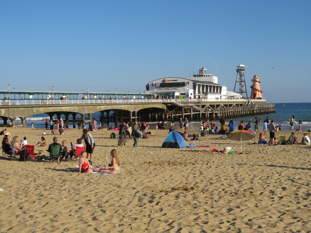
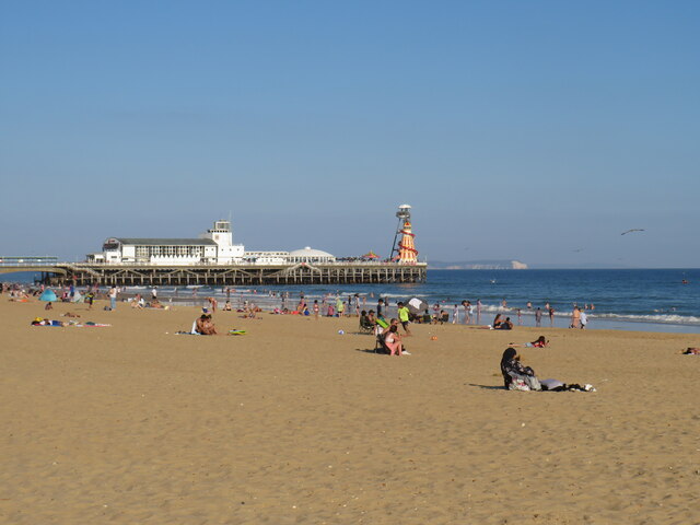
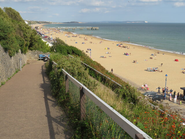
The town is known for its seven miles of sandy beaches, making it one of the most attractive seaside resorts in the UK. Bournemouth Beach is particularly famous, attracting thousands of visitors every year who come to enjoy the sun, sea, and various water sports. The town's mild climate, with warm summers and mild winters, adds to its appeal as a year-round destination.
Bournemouth offers a wide range of entertainment options. The town center is home to numerous shops, restaurants, and cafes, making it a bustling hub for both locals and visitors. The nightlife is vibrant, with a plethora of bars, clubs, and live music venues catering to diverse tastes. Bournemouth also boasts a vibrant arts scene, with several theaters and galleries showcasing local talent.
In addition to its natural beauty and entertainment options, Bournemouth is also recognized for its excellent education facilities. Bournemouth University is highly regarded and attracts students from all over the world.
Transportation in Bournemouth is efficient, with good road and rail networks connecting the town to the rest of the country. The Bournemouth International Airport provides easy access to domestic and international destinations.
Overall, Bournemouth offers a perfect combination of natural beauty, cultural vibrancy, and modern amenities, making it an attractive destination for tourists and a desirable place to live.
If you have any feedback on the listing, please let us know in the comments section below.
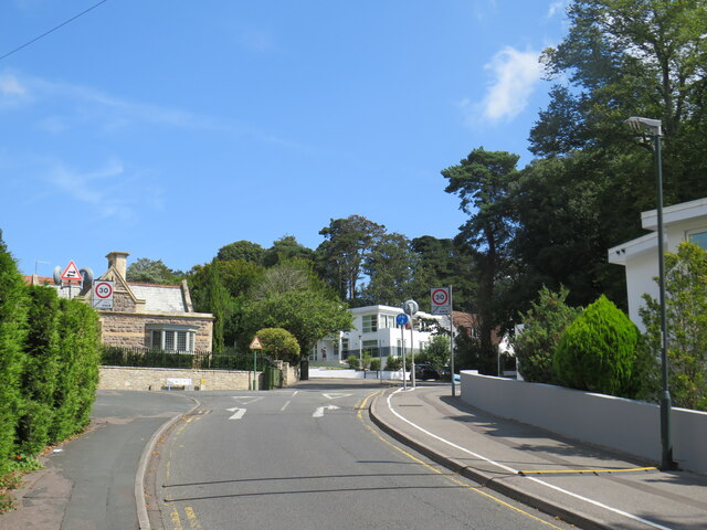
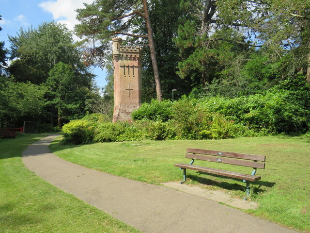
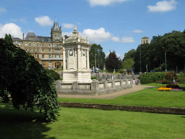
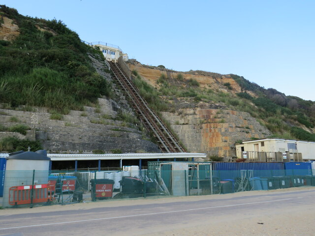
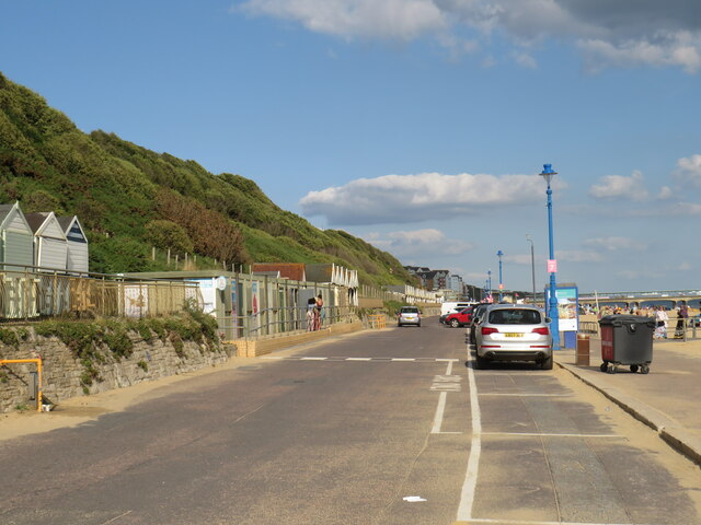
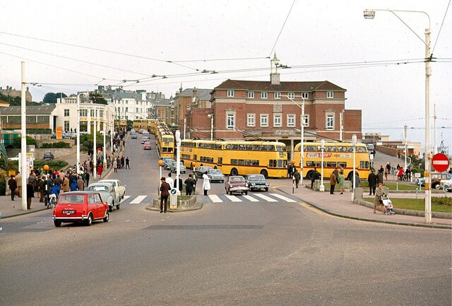
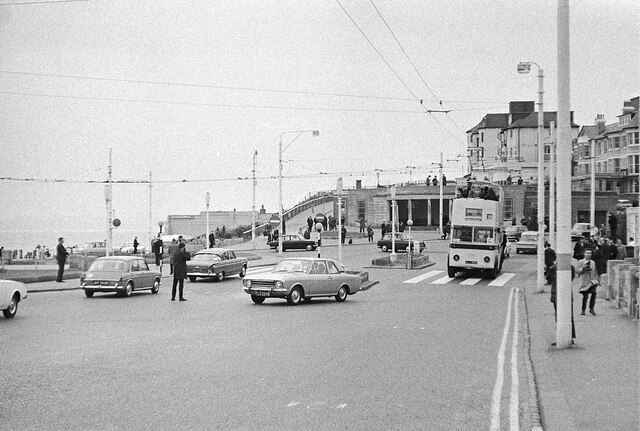
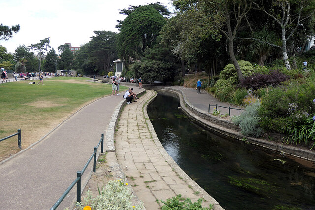
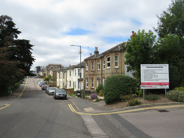
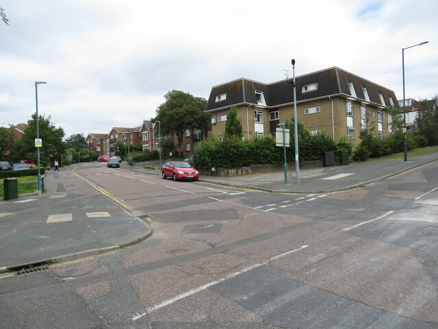
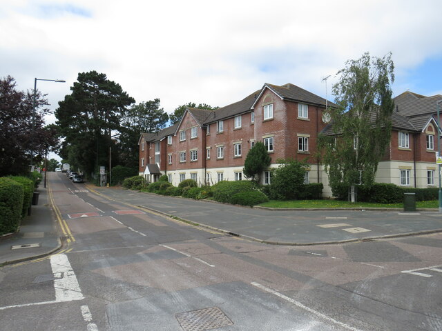
Bournemouth Images
Images are sourced within 2km of 50.720972/-1.8766897 or Grid Reference SZ0891. Thanks to Geograph Open Source API. All images are credited.


Bournemouth is located at Grid Ref: SZ0891 (Lat: 50.720972, Lng: -1.8766897)
Unitary Authority: Bournemouth, Christchurch and Poole
Police Authority: Dorset
What 3 Words
///feared.horns.fund. Near Bournemouth, Dorset
Nearby Locations
Related Wikis

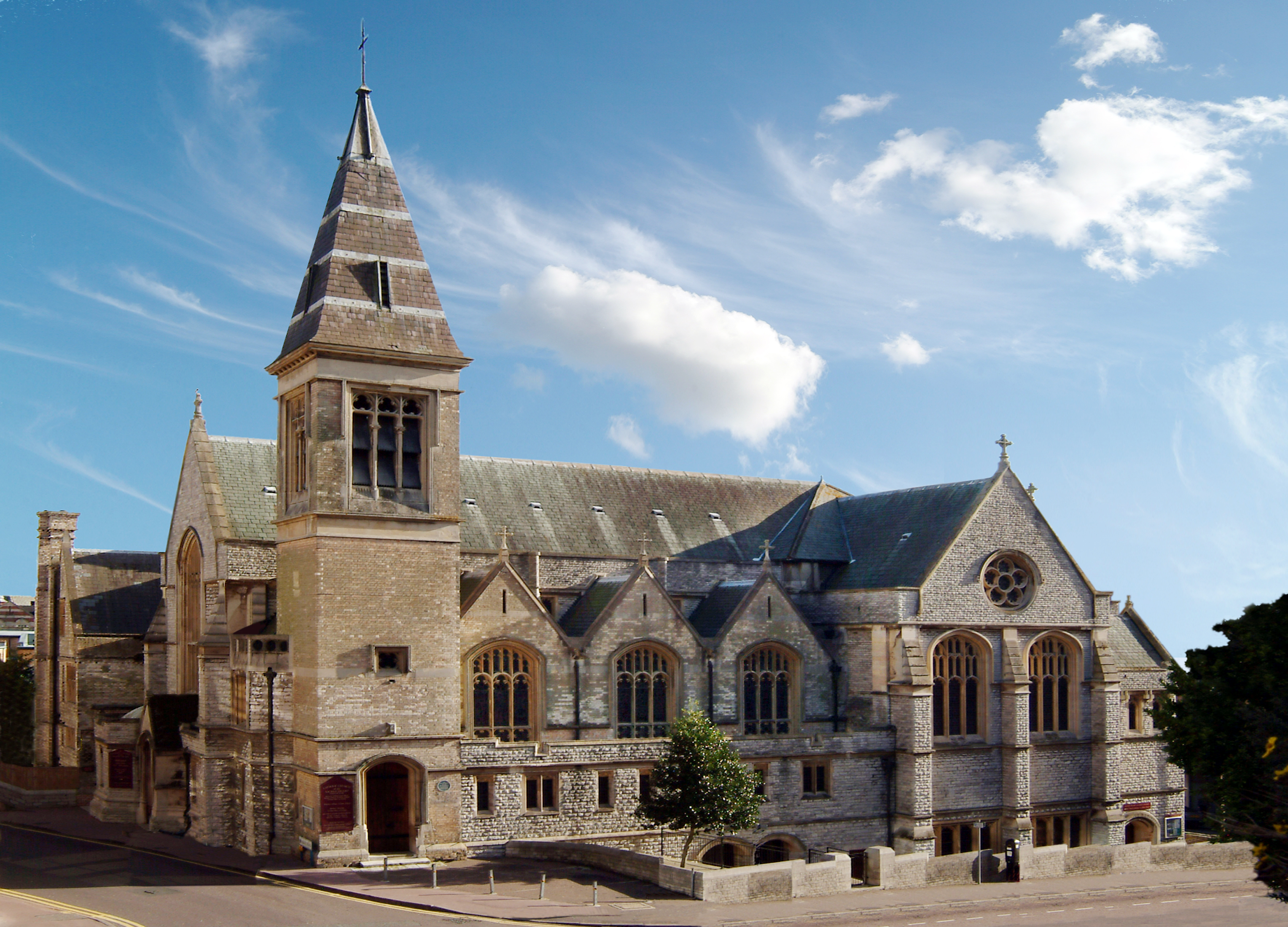
St Peter's Church, Bournemouth
St Peter's Church is a Church of England parish church located in the centre of Bournemouth, Dorset, England. It is a Grade I listed building classed as...
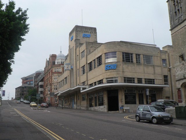
Bournemouth Daily Echo building
The Bournemouth Daily Echo building is a historic landmark and Grade II listed building in Bournemouth, England. The office building is located on Richmond...
Sacred Heart Church, Bournemouth
The Catholic Church of the Sacred Heart, or Sacred Heart Church, is a Roman Catholic church in the seaside resort of Bournemouth, England. Located on Albert...

Westover, Hampshire
Westover, Hampshire, is the ancient manor, now in Dorset, over which much of modern Bournemouth has developed. This area of land marked a historic boundary...
Nearby Amenities
Located within 500m of 50.720972,-1.8766897Have you been to Bournemouth?
Leave your review of Bournemouth below (or comments, questions and feedback).