Bournes Green
Settlement in Worcestershire Wyre Forest
England
Bournes Green
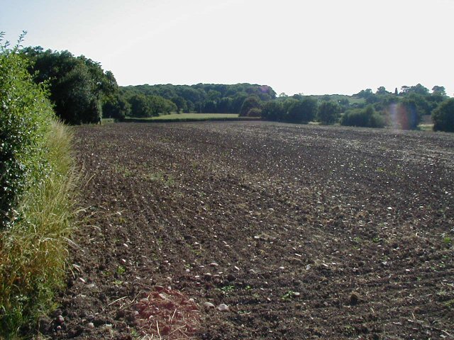
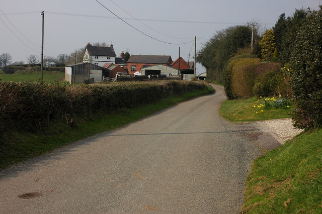
Bournes Green is a small village located in the county of Worcestershire, England. Situated in the West Midlands region, it lies approximately 6 miles south of Worcester, the county town. The village is nestled in a picturesque rural setting, surrounded by lush green fields and rolling hills.
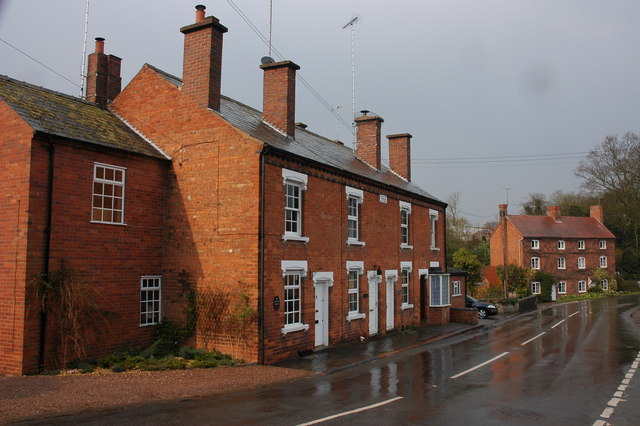
With a population of around 300 residents, Bournes Green maintains a close-knit community atmosphere. The village is characterized by its charming mix of traditional and modern houses, showcasing a range of architectural styles from different eras. The village center is marked by a quaint village green, which serves as a focal point for local gatherings and events.
Bournes Green is well-connected to nearby towns and cities. The A4440 road, also known as the Worcester Southern Link Road, runs adjacent to the village, providing convenient access to Worcester and the wider road network. Additionally, the village is served by regular bus services, allowing residents to easily travel to surrounding areas.
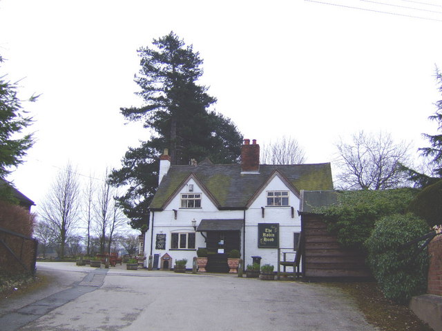
For amenities, Bournes Green offers a range of facilities to cater to the needs of its residents. These include a village hall, a primary school, a local shop, and a pub, providing essential services and a sense of community life.
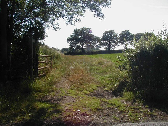
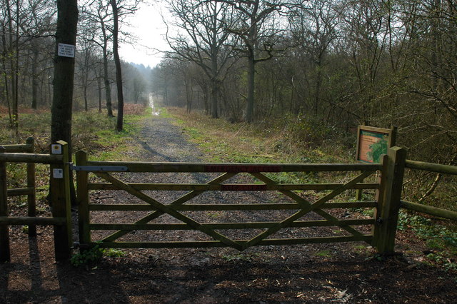
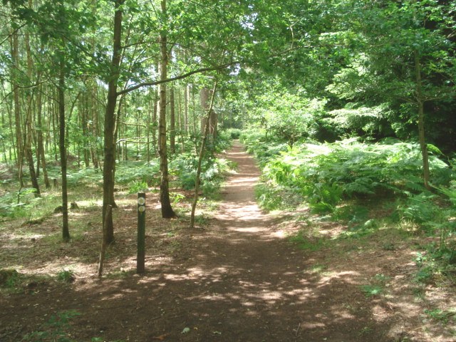
Surrounded by the natural beauty of Worcestershire, Bournes Green offers its residents ample opportunities for outdoor activities. The village is located in close proximity to various walking trails, providing scenic routes for hikers and nature enthusiasts. Additionally, the nearby River Severn offers opportunities for boating and fishing.
Overall, Bournes Green is a tranquil and picturesque village, offering a peaceful countryside lifestyle within easy reach of urban conveniences.
If you have any feedback on the listing, please let us know in the comments section below.
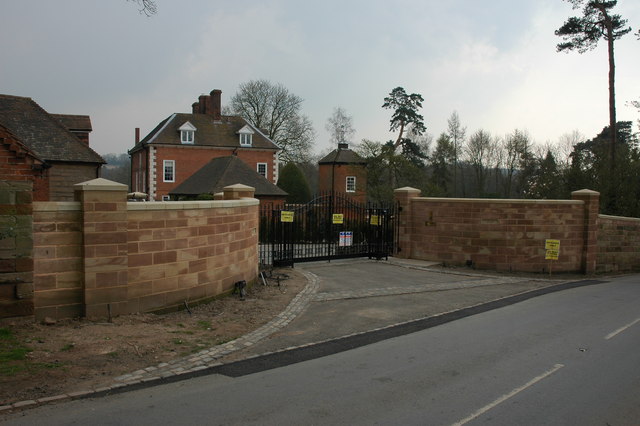
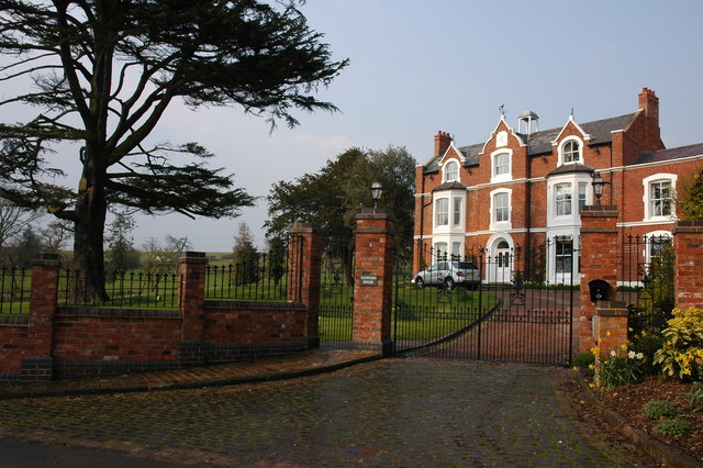
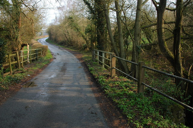
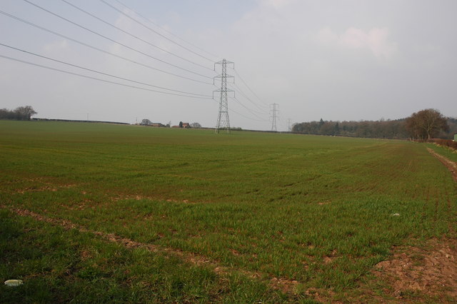
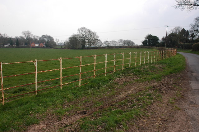
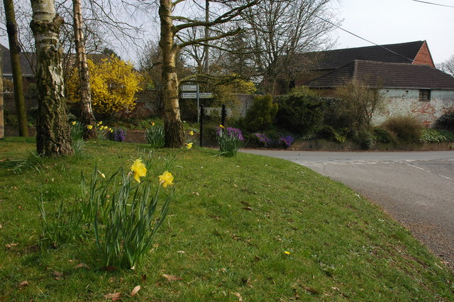
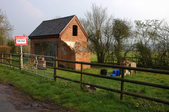
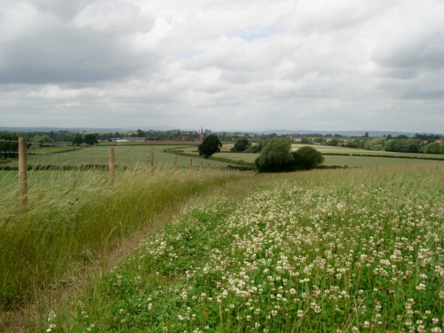
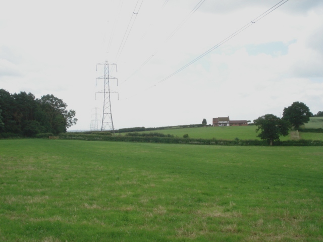
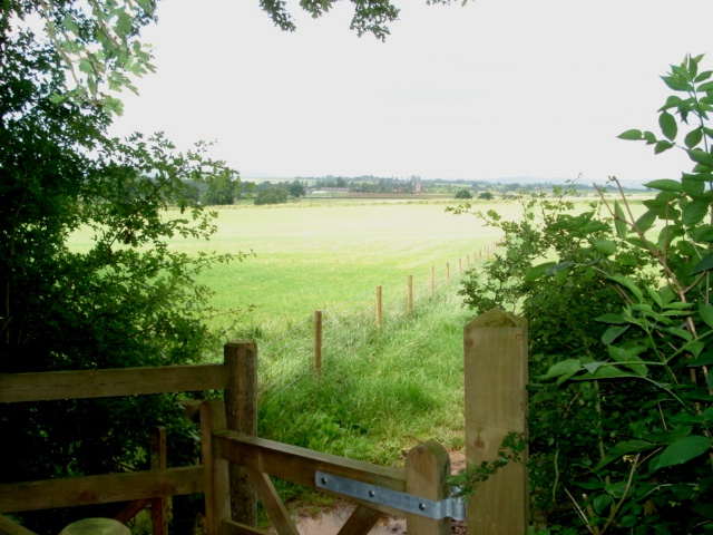
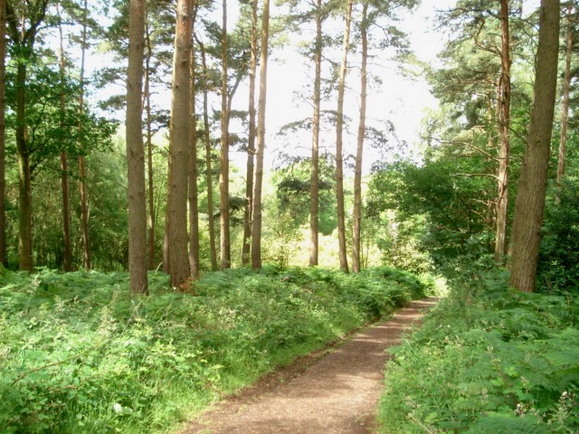
Bournes Green Images
Images are sourced within 2km of 52.3697/-2.133332 or Grid Reference SO9174. Thanks to Geograph Open Source API. All images are credited.

Bournes Green is located at Grid Ref: SO9174 (Lat: 52.3697, Lng: -2.133332)
Administrative County: Worcestershire
District: Wyre Forest
Police Authority: West Mercia
What 3 Words
///passports.spooned.logic. Near Belbroughton, Worcestershire
Nearby Locations
Related Wikis

Tanwood
Tanwood is a hamlet in the English county of Worcestershire. It lies about one mile northeast of the village of Chaddesley Corbett and forms part of the...

Chaddesley Woods National Nature Reserve
Chaddesley Woods National Nature Reserve is situated near the village of Chaddesley Corbett, in Worcestershire, England. It is a reserve of the Worcestershire...
Drayton, Worcestershire
Drayton is a hamlet in Worcestershire, England which remains part of the ecclesiastical parish of Chaddesley Corbett, which from its select vestry formed...

Chaddesley Corbett
Chaddesley Corbett is a village and civil parish in the Wyre Forest District of Worcestershire, England. The Anglican and secular versions of the parish...
Related Videos

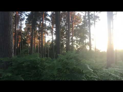
B123 New Years Day Chaddesley Corbett 1st January 2023
Happy New Year from B123 Walks Starting and walking around Chaddesley Woods Nature Reserve we enjoyed the stunning ...

Chaddesley Woods Evening Walk Part One
Filmed on the 10/7/2020.

Chaddesley Woods Evening Walk Part Five
Filmed on the 10/7/2020.
Chaddesley Woods Evening Walk Part Three
Filmed on the 10/7/2020.
Nearby Amenities
Located within 500m of 52.3697,-2.133332Have you been to Bournes Green?
Leave your review of Bournes Green below (or comments, questions and feedback).