Boulder Hill
Settlement in Yorkshire
England
Boulder Hill
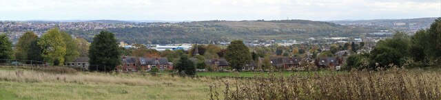
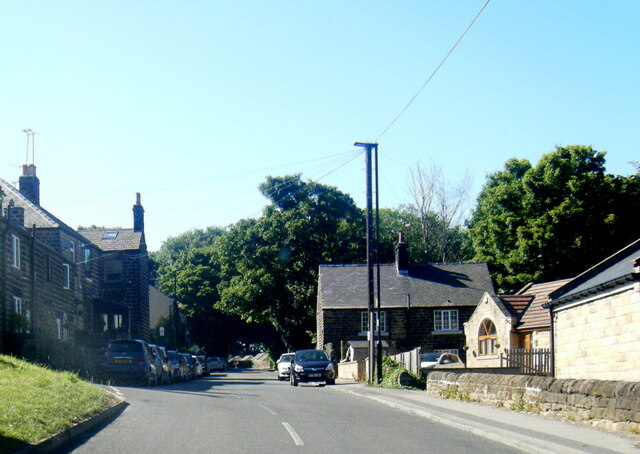
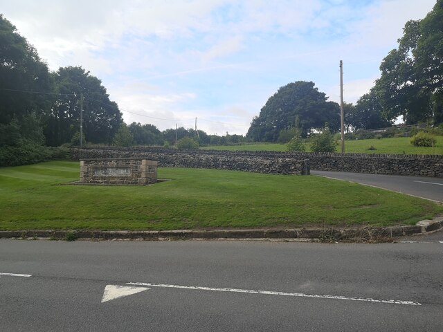
Boulder Hill is a picturesque village located in the county of Yorkshire, England. Situated in the heart of the beautiful Yorkshire Dales, this small settlement offers stunning views of rolling hills, lush green pastures, and charming stone-built houses.
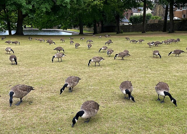
The village is known for its peaceful and idyllic setting, making it a popular destination for nature enthusiasts and hikers. It is surrounded by vast expanses of untouched countryside, with numerous walking trails and footpaths that allow visitors to explore the natural beauty of the area. Boulder Hill also benefits from its close proximity to the Yorkshire Dales National Park, which offers even more opportunities for outdoor activities and wildlife spotting.
Despite its small size, Boulder Hill boasts a welcoming community and a range of amenities. The village features a local pub, where residents and visitors can enjoy a pint of traditional ale and sample delicious homemade meals. There is also a small grocery store, providing essential supplies for the villagers.
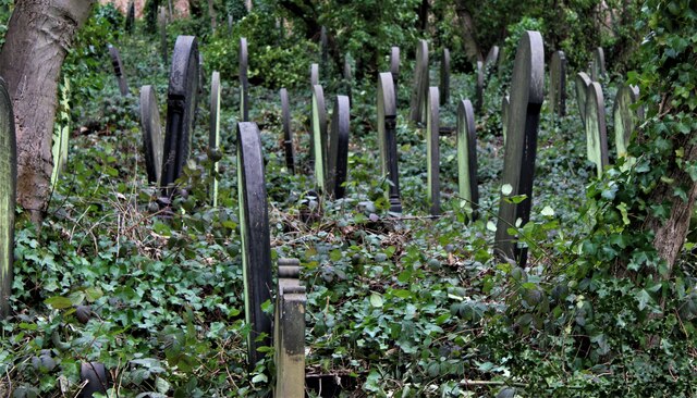
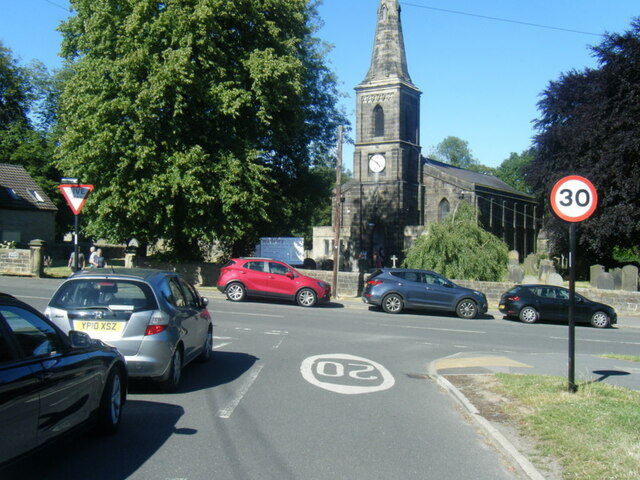
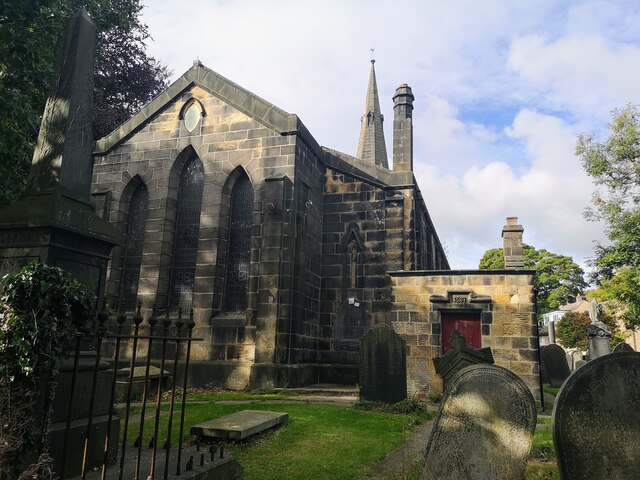
History enthusiasts will find Boulder Hill fascinating, as it is home to several well-preserved historical sites. The village's church, dating back to the 12th century, showcases stunning architecture and offers insight into the area's rich past. Additionally, the nearby ruins of an ancient castle provide a glimpse into the region's medieval history.
Boulder Hill is a hidden gem in the Yorkshire countryside, offering a tranquil escape from the hustle and bustle of city life. With its breathtaking landscapes and friendly atmosphere, it is no wonder that this village attracts visitors from far and wide.
If you have any feedback on the listing, please let us know in the comments section below.
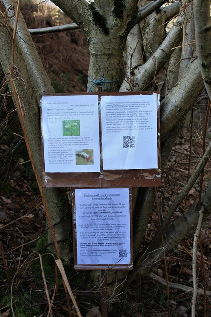
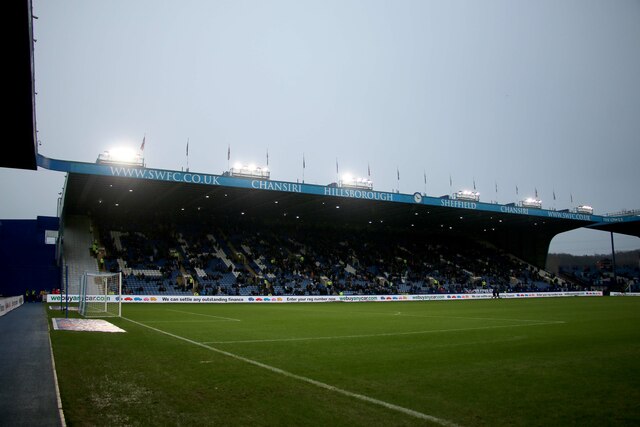
Boulder Hill Images
Images are sourced within 2km of 53.401677/-1.510242 or Grid Reference SK3289. Thanks to Geograph Open Source API. All images are credited.
Boulder Hill is located at Grid Ref: SK3289 (Lat: 53.401677, Lng: -1.510242)
Division: West Riding
Unitary Authority: Sheffield
Police Authority: South Yorkshire
What 3 Words
///unwanted.cheer.tribes. Near Burngreave, South Yorkshire
Nearby Locations
Related Wikis

Malin Bridge
Malin Bridge is a suburb of the city of Sheffield, England. It is located at grid reference SK325893 and stands 2+1⁄2 miles north-west of the city centre...

A. L. Simpkin & Co. Ltd
A. L. Simpkin & Co. Ltd are a company of confectionery makers based in Sheffield, England. The firm's premises are located on Hunter Road in the Hillsborough...
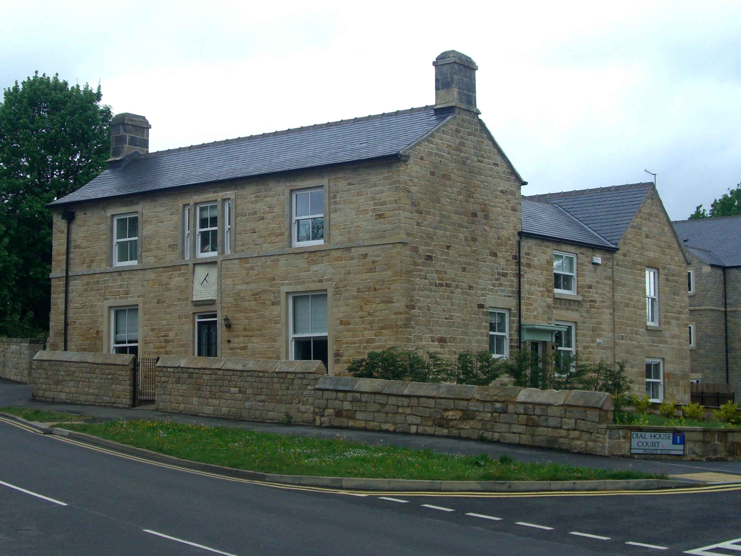
Dial House, Sheffield
Dial House is a Grade II listed building located on Ben Lane in the Wisewood area of the City of Sheffield in England. The house was originally a private...

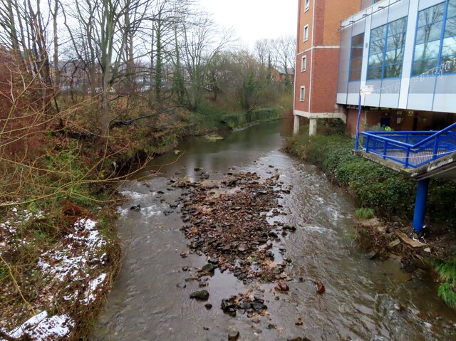
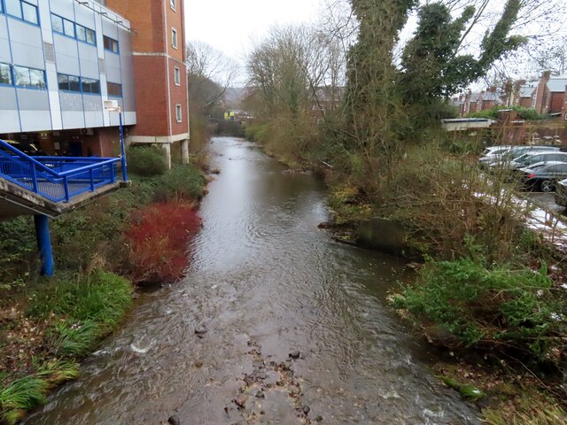
River Rivelin
The River Rivelin is a river in Sheffield, South Yorkshire, England. It rises on the Hallam moors, in north west Sheffield, and joins the River Loxley...

Myers Grove School
Myers Grove School was a secondary school (11–18) in the north-west of Sheffield, South Yorkshire, England. The school was bidding to become a businesses...
Forge Valley School
Forge Valley School is a secondary school and sixth form located in Sheffield, South Yorkshire England. It replaced Myers Grove School and Wisewood School...

Sacred Heart Church, Hillsborough
Sacred Heart Church is located in Forbes Road in the Hillsborough district of the city of Sheffield, South Yorkshire, England at grid reference SK333894...
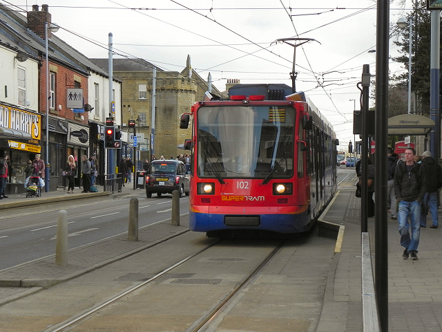
Hillsborough Interchange
Hillsborough Interchange is a bus and tram interchange in Hillsborough, Sheffield. It serves a variety of operators including First South Yorkshire,Sheffield...
Nearby Amenities
Located within 500m of 53.401677,-1.510242Have you been to Boulder Hill?
Leave your review of Boulder Hill below (or comments, questions and feedback).