Bouldnor
Settlement in Hampshire
England
Bouldnor

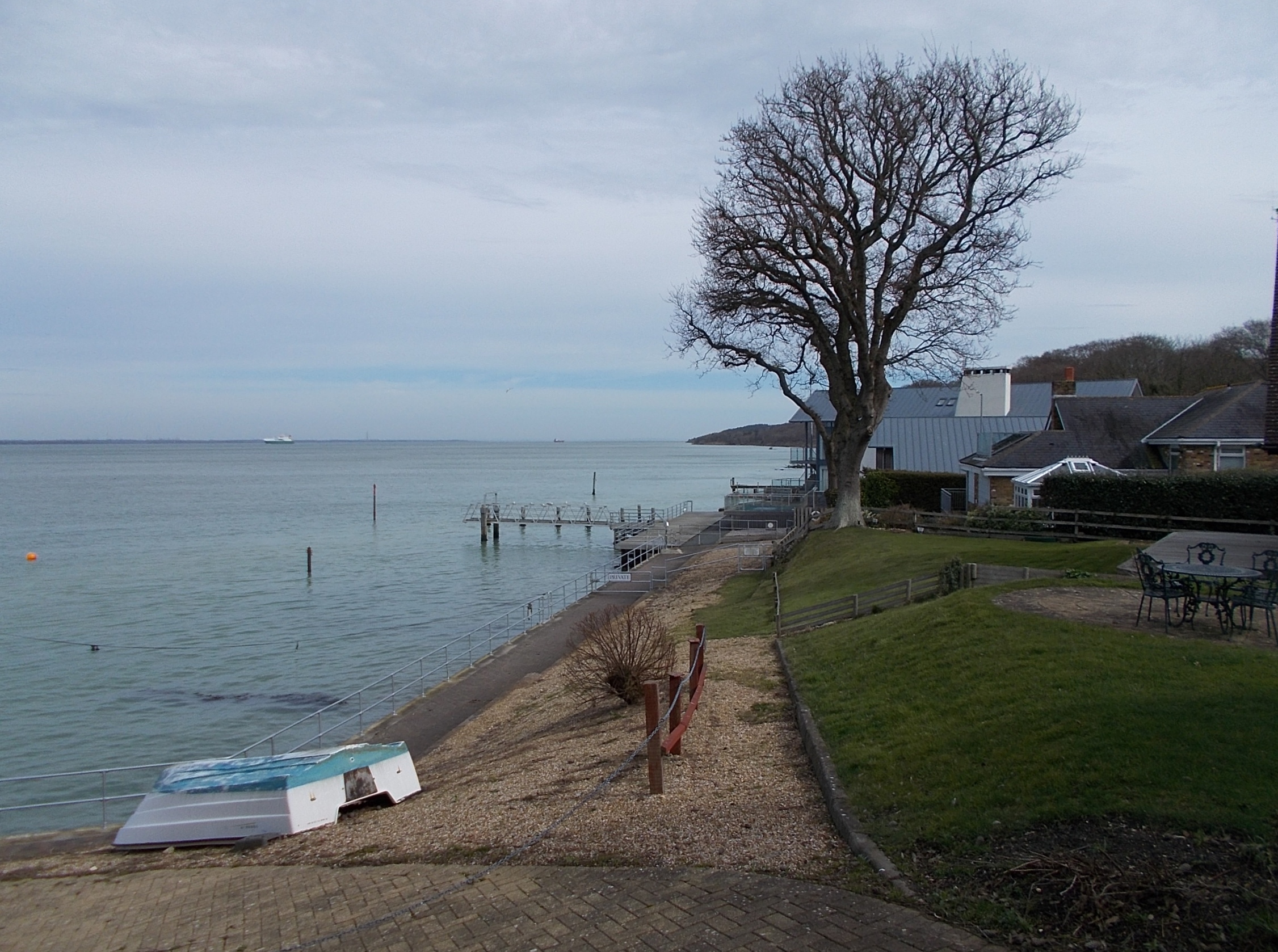
Bouldnor is a small village located on the western coast of the Isle of Wight, in Hampshire, England. Situated on the mouth of the River Yar, it is part of the West Wight area. Bouldnor is a primarily residential area with a population of around 200 people.
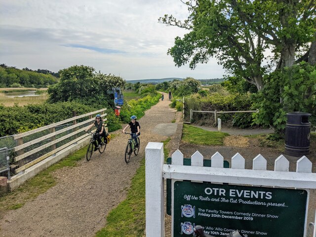
The village is known for its picturesque location, surrounded by lush green fields and woodland. It offers stunning views of the Solent and the Needles, a series of chalk stacks rising from the sea, which is a popular tourist attraction.
Bouldnor has a rich history, with evidence of human activity dating back to the Stone Age. Archaeological excavations in the area have revealed a prehistoric settlement, including a submerged Mesolithic site. The findings include well-preserved wooden structures, tools, and artifacts, providing valuable insights into the lives of ancient inhabitants.
In addition to its historical significance, Bouldnor is also a haven for nature enthusiasts. The nearby Bouldnor Forest is a designated Site of Special Scientific Interest, home to a diverse range of flora and fauna. The forest offers several walking trails, allowing visitors to explore the abundant wildlife and enjoy the peaceful surroundings.
The village of Bouldnor is well-connected to nearby towns and attractions, with regular bus services and a ferry terminal in Yarmouth, providing access to the mainland. It also has a local pub, The New Inn, which serves as a gathering place for both residents and tourists.
Overall, Bouldnor is a charming village with a fascinating history and natural beauty, making it an appealing destination for those seeking tranquility and a glimpse into the past.
If you have any feedback on the listing, please let us know in the comments section below.
Bouldnor Images
Images are sourced within 2km of 50.706247/-1.479095 or Grid Reference SZ3689. Thanks to Geograph Open Source API. All images are credited.


Bouldnor is located at Grid Ref: SZ3689 (Lat: 50.706247, Lng: -1.479095)
Unitary Authority: Isle of Wight
Police Authority: Hampshire
What 3 Words
///rats.furniture.connector. Near Yarmouth, Isle of Wight
Nearby Locations
Related Wikis
Bouldnor
Bouldnor is a hamlet near Yarmouth on the west coast of the Isle of Wight in southern England. It is the location of Bouldnor Battery, a gun battery emplacement...

Thorley Manor
Thorley Manor is a manor house just outside Yarmouth, on the Isle of Wight, England. Built in 1712, it features a modillion cornice, hipped roof, as well...

Thorley, Isle of Wight
Thorley is a village and former civil parish, now in the parish of Yarmouth, on the Isle of Wight, England. It is 1+1⁄2 miles (2.4 km) from Yarmouth in...
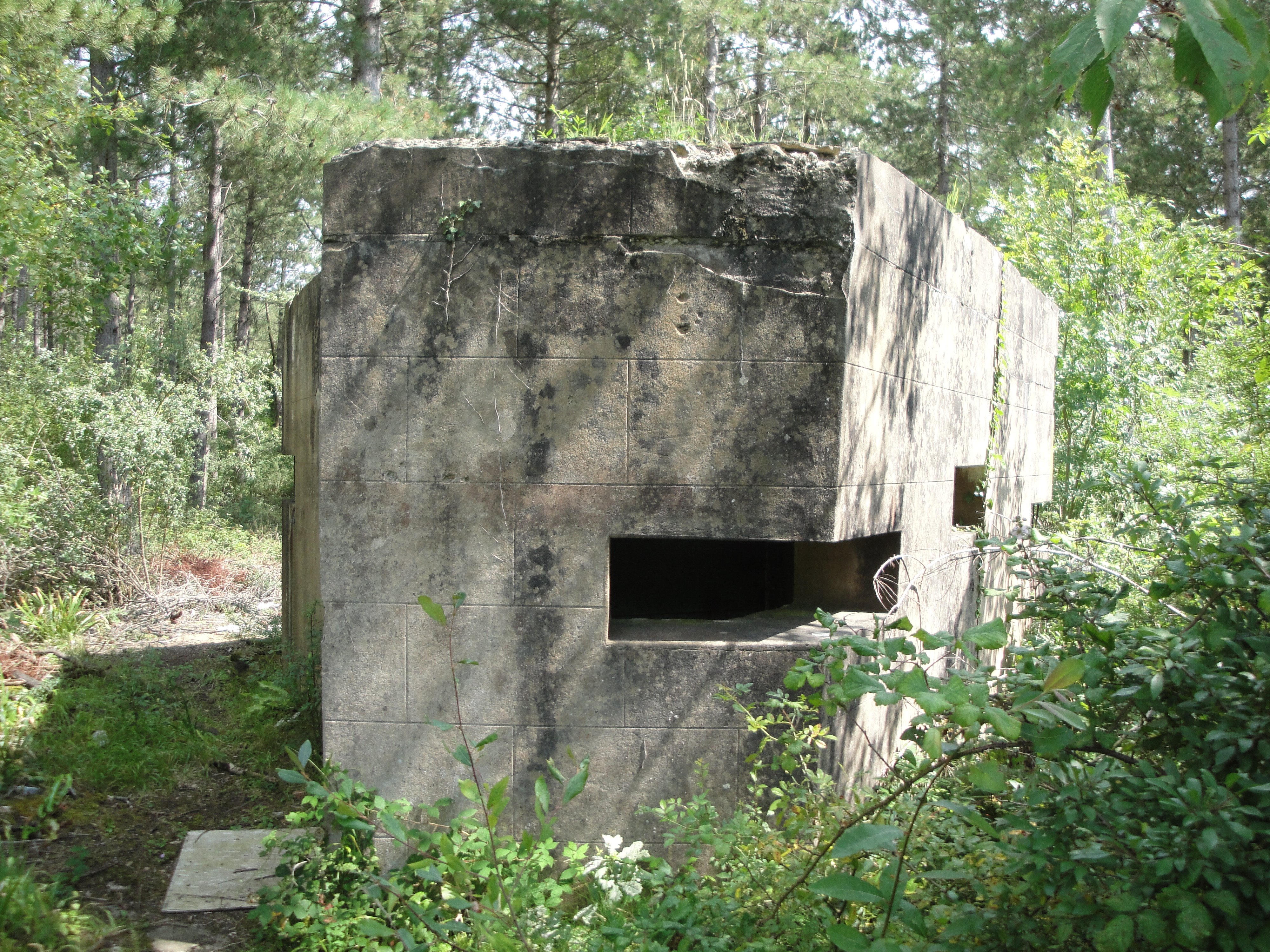
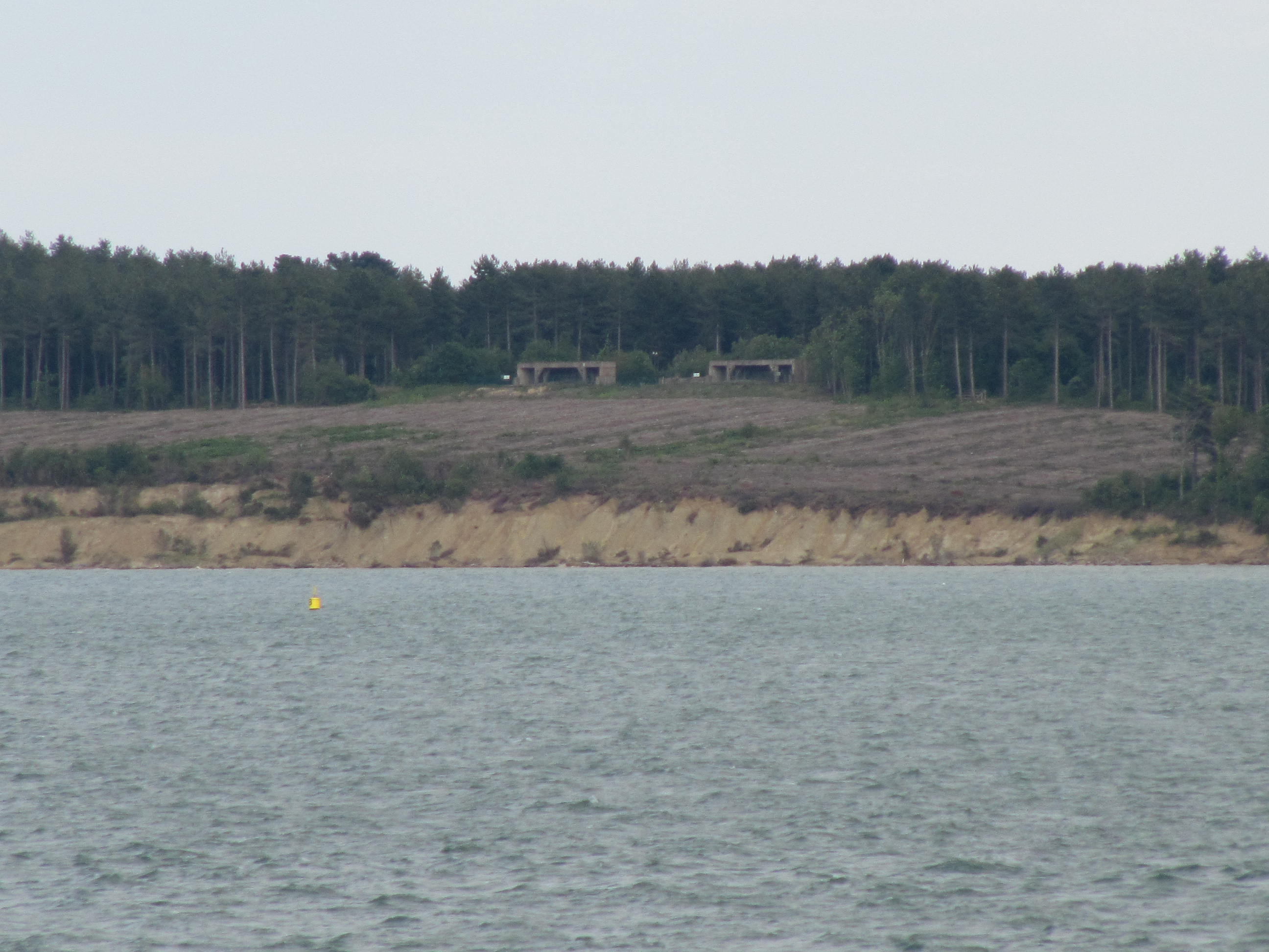
Bouldnor Battery
Bouldnor Battery is a military battery located in Bouldnor on the Isle of Wight. It saw active service in World War II and was fully decommissioned in...

Yarmouth Roads Wreck
The remains of a late sixteenth or early seventeenth century carrack was discovered in Yarmouth Roads, Isle of Wight, England in 1984. The site was designated...
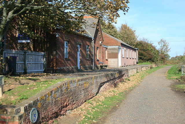
Yarmouth railway station (Isle of Wight)
Yarmouth railway station, was an intermediate station of the Freshwater, Yarmouth and Newport Railway. == History == It was incorporated in 1860, opened...
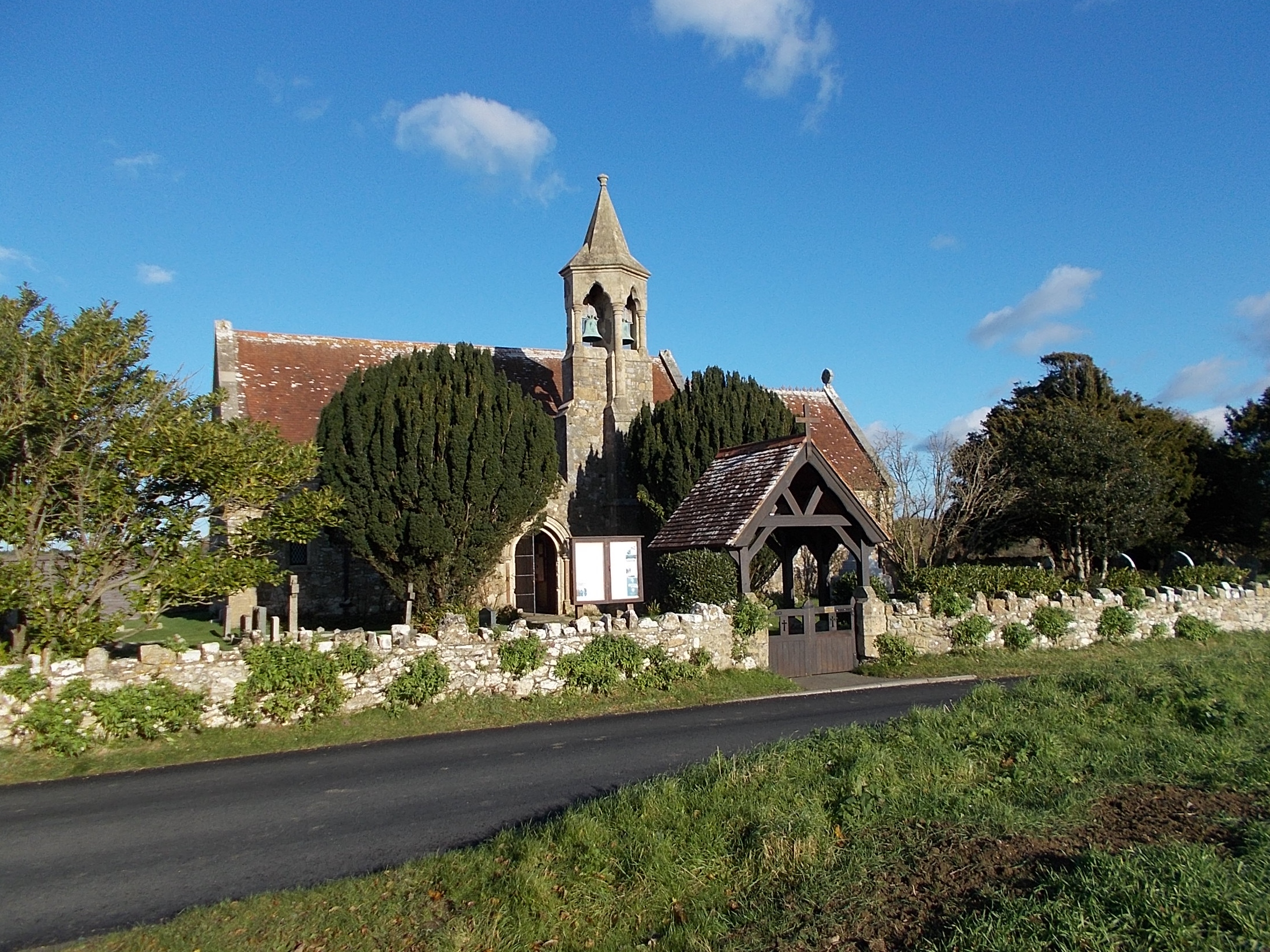
St Swithun's Church, Thorley
St Swithun's Church, Thorley is a parish church in the Church of England located in Thorley, Isle of Wight. == History == The church dates from 1871 and...
Bouldnor Cliff
Bouldnor Cliff is a submerged prehistoric settlement site in the Solent. The site dates from the Mesolithic era and is in approximately 11 metres (6 fathoms...
Nearby Amenities
Located within 500m of 50.706247,-1.479095Have you been to Bouldnor?
Leave your review of Bouldnor below (or comments, questions and feedback).