Tressait

Settlement in Perthshire

Scotland

Tressait

Frenich Burn delta In Loch Tummel. 
Strathtummel on the far side of the loch.
Frenich Burn delta Credit: Russel Wills

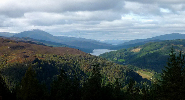
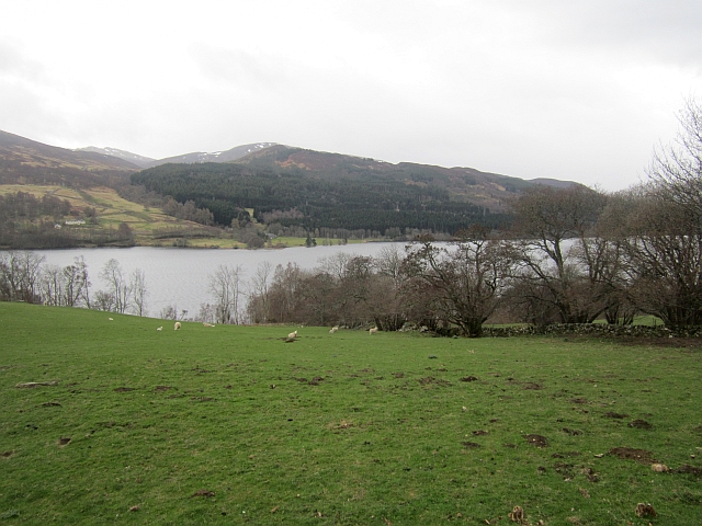
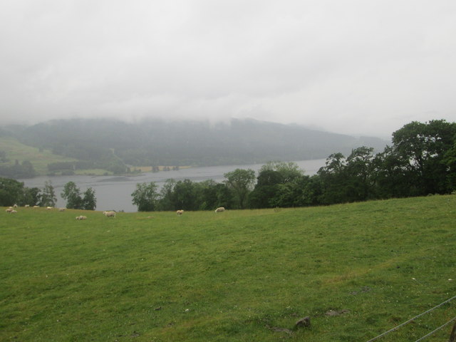
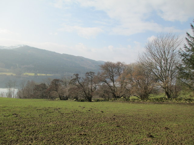
Tressait is a small village located in the region of Perthshire, Scotland. It is situated along the A93 road, approximately 6 miles northwest of the town of Blairgowrie. The village is surrounded by picturesque countryside, with rolling hills and stunning views of the nearby Grampian Mountains.

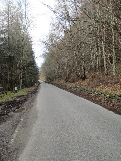
Tressait is known for its peaceful and tranquil atmosphere, making it an ideal destination for those seeking a break from the hustle and bustle of city life. Visitors can enjoy long walks or hikes through the beautiful countryside, with various trails and paths available for exploration. The nearby River Ericht also provides opportunities for fishing and boating.

Despite its small size, Tressait has a tight-knit community that takes pride in its local heritage. The village is home to a charming church, which dates back to the 19th century and is a prominent landmark in the area. There is also a village hall that hosts a range of community events throughout the year, including social gatherings, concerts, and fairs.

For those looking to explore further afield, Tressait offers convenient access to other popular tourist destinations in Perthshire. The vibrant town of Pitlochry is just a short drive away, offering a variety of shops, restaurants, and cultural attractions.

In summary, Tressait is a small village in Perthshire, Scotland, known for its tranquil setting, stunning natural landscapes, and strong sense of community. It is an ideal destination for nature lovers and those seeking a peaceful retreat.

If you have any feedback on the listing, please let us know in the comments section below.
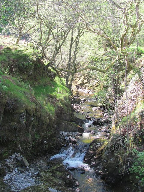
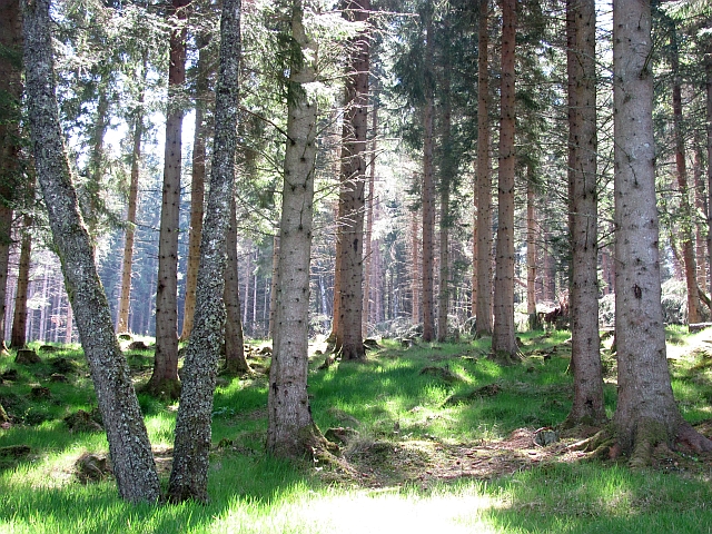
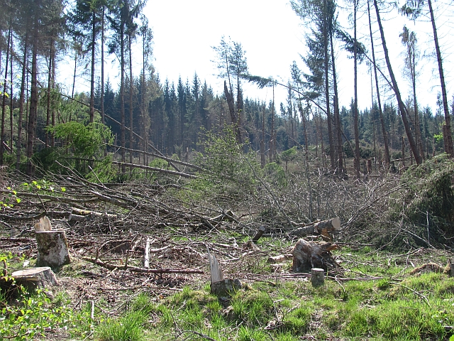
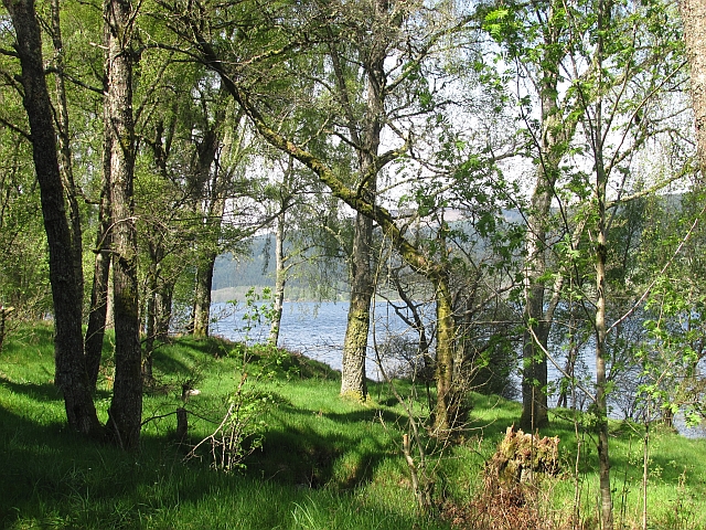
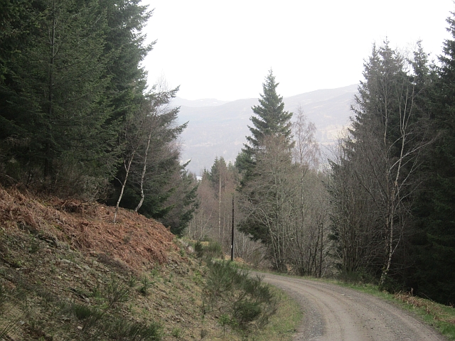
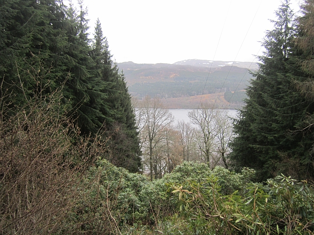
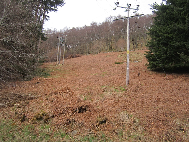
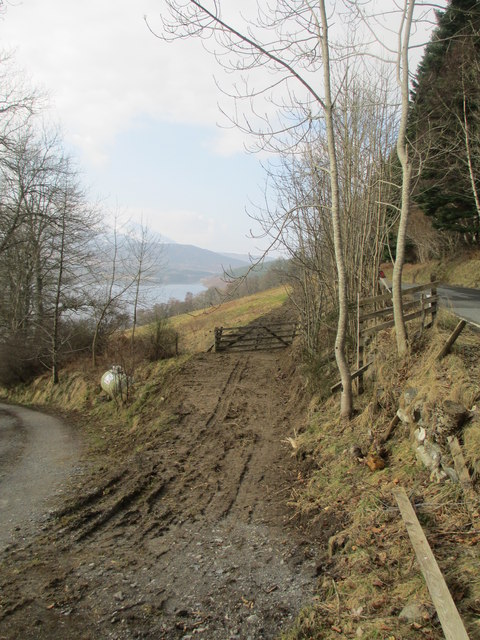
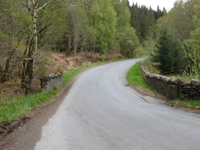
Tressait Images

Images are sourced within 2km of 56.716465/-3.9458597 or Grid Reference NN8160. Thanks to Geograph Open Source API. All images are credited.

Frenich Burn delta In Loch Tummel. 
Strathtummel on the far side of the loch.
Frenich Burn delta
In Loch Tummel. Strathtummel on the far side of the loch.
Miniature beach On the Frenich Burn delta.  Looking east along Loch Tummel.
Miniature beach
On the Frenich Burn delta. Looking east along Loch Tummel.
Schiehallion from Tressalt
Forest road west of Tressalt
Frenich Burn A substatial burn running down through a gorge towards Loch Tummel. There is some construction work taking place here, probably a small hydroelectric scheme.
Frenich Burn
A substatial burn running down through a gorge towards Loch Tummel. There is some construction work taking place here, probably a small hydroelectric scheme.
Frenich Wood Mature conifer woodland near Loch Tummel, some trees were lost to windthrow nearby.
Frenich Wood
Mature conifer woodland near Loch Tummel, some trees were lost to windthrow nearby.
Ceann na Coille Some of the 5,000,000 trees lost by the Forestry Commission to windthrow around New Year 2012.
Ceann na Coille
Some of the 5,000,000 trees lost by the Forestry Commission to windthrow around New Year 2012.
The view of Strathtummel from Craigower The graceful mountain on the left is Schiehallion with Loch Tummel below. The far mountains are above Glen Coe with a slice of Loch Rannoch just visible below them.
The view of Strathtummel from Craigower
The graceful mountain on the left is Schiehallion with Loch Tummel below. The far mountains are above Glen Coe with a slice of Loch Rannoch just visible below them.
Frenich Wood Birches beside Loch Tummel.
Frenich Wood
Birches beside Loch Tummel.
Logging road, Grenich Also used as access to Grenich.
Logging road, Grenich
Also used as access to Grenich.
Ride, Port-an-Eilean Rhododendron choked gap left for an electricity supply.
Ride, Port-an-Eilean
Rhododendron choked gap left for an electricity supply.
Ride,  near  Port-an-Eilean A gap in the trees carrying a power line.
Ride, near Port-an-Eilean
A gap in the trees carrying a power line.
North side of Loch Tummel Looking over the loch towards Frenich from just before the viewpoint layby near Croft Douglas.
North side of Loch Tummel
Looking over the loch towards Frenich from just before the viewpoint layby near Croft Douglas.
A view of Loch Tummel on a wet and misty July day Looking over grazing lands at Croft Douglas to the beautiful loch beyond.
A view of Loch Tummel on a wet and misty July day
Looking over grazing lands at Croft Douglas to the beautiful loch beyond.
Farmland above Loch Tummel
B8019 above Loch Tummel
Muddy track by Bruach Bhan
Road (B8019) and bridge crossing Allt Charmaig Looking north-eastward.
Road (B8019) and bridge crossing Allt Charmaig
Looking north-eastward.
Show me another place!

Tressait is located at Grid Ref: NN8160 (Lat: 56.716465, Lng: -3.9458597)

Unitary Authority: Perth and Kinross

Police Authority: Tayside

What 3 Words

///guests.argued.clearcut. Near Blair Atholl, Perth & Kinross

Related Wikis

Tummel hydro-electric power scheme

The Tummel hydro-electric power scheme is an interconnected network of dams, power stations, aqueducts and electric power transmission in the Grampian...
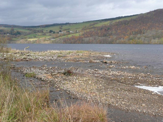
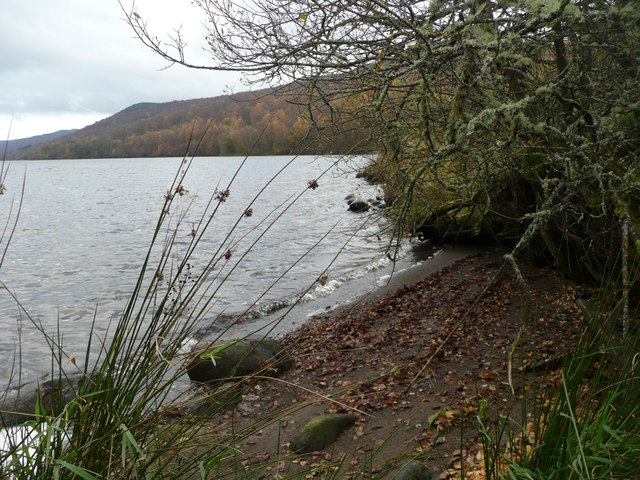
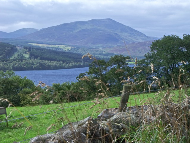
Loch Tummel

Loch Tummel (Scottish Gaelic: Loch Teimheil) is a long, narrow loch, seven kilometres (4+1⁄2 miles) northwest of Pitlochry in the council area of Perth...

Loch Bhac

Loch Bhac (Bhaic or Vach) is a fine freshwater trout loch, located in the west part of the Allean Forest, and east part of Tay Forest park, and slightly...

Tummel Bridge

Tummel Bridge is a double arched hump-backed former military bridge crossing the River Tummel at Tummel Bridge, Perth & Kinross, Scotland. A Category A...

Nearby Amenities

Located within 500m of 56.716465,-3.9458597
Power: pole
Lat/Long: 56.7167095/-3.9417593
Power: pole
Lat/Long: 56.7175749/-3.9389045
Power: pole
Lat/Long: 56.7171969/-3.9401576
An Tulach
Ele: 303
Natural: peak
Lat/Long: 56.7178699/-3.9469251
Tressait
Name Gd: Treasaid
Place: isolated_dwelling
Lat/Long: 56.7185294/-3.9428052
Port-an-Eilean
Name Gd: Port an Eilein
Place: isolated_dwelling
Lat/Long: 56.7143961/-3.9440712
Power: pole
Lat/Long: 56.7158636/-3.9535734
Power: pole
Lat/Long: 56.7159092/-3.9523745
Power: pole
Lat/Long: 56.7159431/-3.9511514
Power: pole
Lat/Long: 56.7159931/-3.9497405
Power: pole
Lat/Long: 56.7160417/-3.948496
Power: pole
Lat/Long: 56.7160947/-3.947112
Power: pole
Lat/Long: 56.7161359/-3.9459023
Power: pole
Lat/Long: 56.7161963/-3.9444673
Power: pole
Lat/Long: 56.7163626/-3.9435715
Power: pole
Lat/Long: 56.7165378/-3.9426166
Power: pole
Lat/Long: 56.7170103/-3.9407471
Power: pole
Lat/Long: 56.7205202/-3.942723
Power: pole
Lat/Long: 56.7199097/-3.9425095
Power: pole
Lat/Long: 56.7192394/-3.942277
Power: pole
Lat/Long: 56.7185716/-3.9420137
Power: pole
Lat/Long: 56.7180471/-3.9412855
Power: pole
Lat/Long: 56.7175355/-3.9406095
The data included in this document is from www.openstreetmap.org. The data is made available under ODbL.

Have you been to Tressait?

Leave your review of Tressait below (or comments, questions and feedback).