Bossington
Settlement in Somerset Somerset West and Taunton
England
Bossington
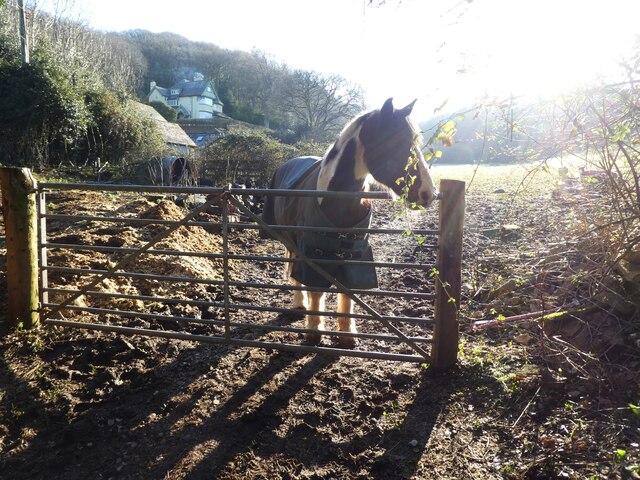
Bossington is a picturesque village located in the county of Somerset, England. Situated within the Exmoor National Park, it is nestled between the rolling hills and the rugged coastline of the Bristol Channel. With a population of around 100 residents, Bossington offers a tranquil and idyllic setting for those seeking a peaceful retreat.
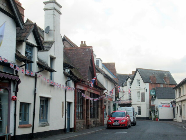
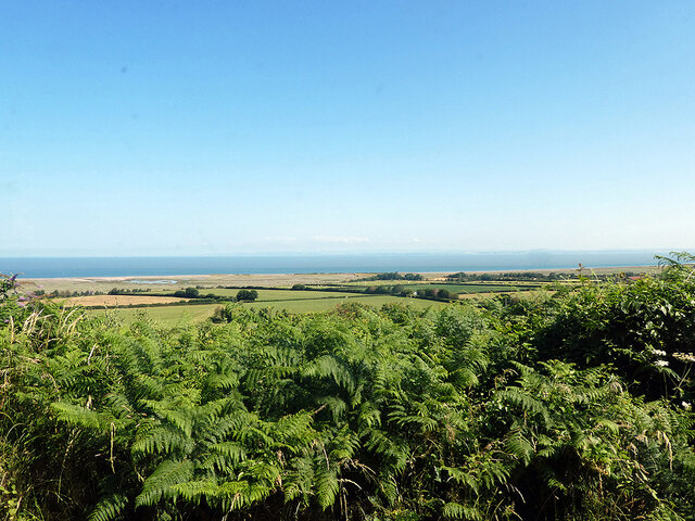
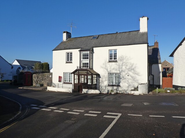
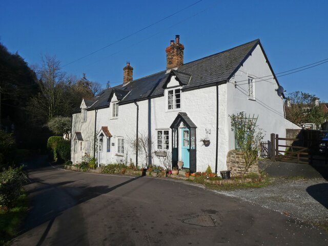
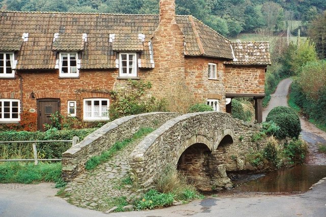
The village is known for its charming thatched cottages, many of which date back to the 17th century, creating a quaint and traditional atmosphere. The surrounding landscape is dominated by lush green fields, where sheep and cattle graze peacefully. The nearby Bossington Beach is a popular destination, with its pebble shoreline and breathtaking views of the sea.
Nature enthusiasts will find plenty to explore in Bossington, as the area is teeming with wildlife. The National Trust owns a large portion of the village, including the nearby Holnicote Estate, which offers various walking trails and nature reserves. Visitors can spot red deer, Exmoor ponies, and a rich variety of birds in these protected areas.
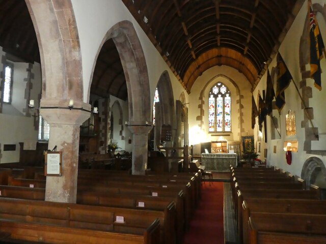
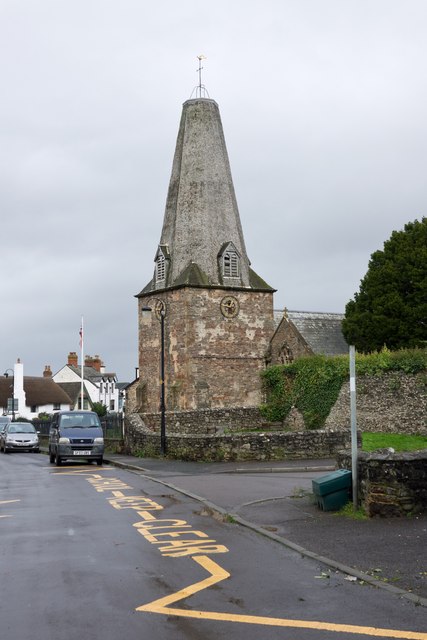
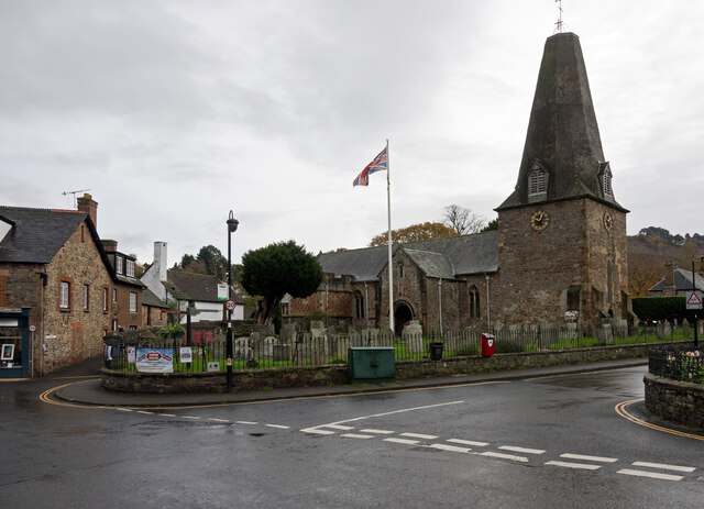
For history enthusiasts, Bossington has a fascinating heritage. The village has remains of an ancient salt production industry, dating back to Roman times. The historic All Saints Church, which dates back to the 13th century, is also worth a visit.
Overall, Bossington is a charming and unspoiled village, offering a peaceful and natural escape for residents and visitors alike. Its stunning landscapes, traditional architecture, and rich history make it a truly delightful place to explore.
If you have any feedback on the listing, please let us know in the comments section below.
Bossington Images
Images are sourced within 2km of 51.219536/-3.582233 or Grid Reference SS8947. Thanks to Geograph Open Source API. All images are credited.


Bossington is located at Grid Ref: SS8947 (Lat: 51.219536, Lng: -3.582233)
Administrative County: Somerset
District: Somerset West and Taunton
Police Authority: Avon and Somerset
What 3 Words
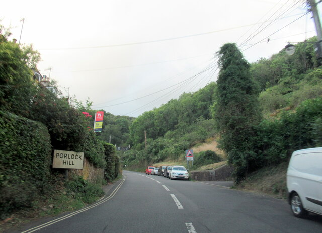
///copying.headstone.helpful. Near Porlock, Somerset
Nearby Locations
Related Wikis
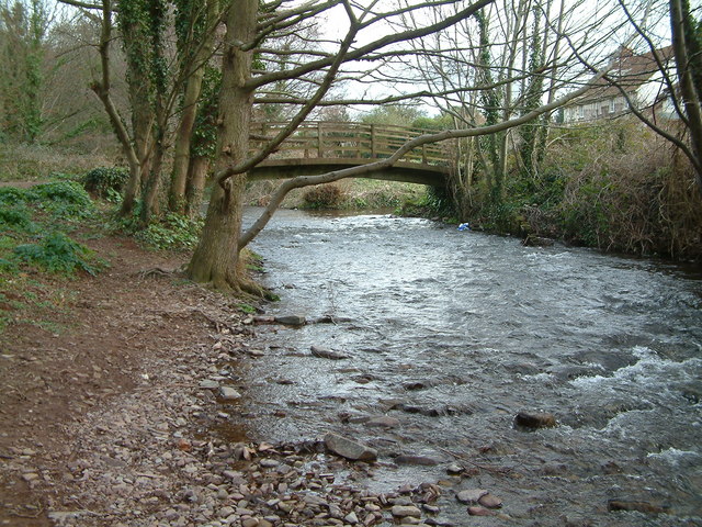
River Aller
The River Aller is a small river on Exmoor in Somerset, England. It rises as several small streams around Tivington and Huntscott and flows through the...

Lynch Chapel Of Ease
The Anglican Lynch Chapel Of Ease in West Lynch, Selworthy, Somerset, England was built around 1530. It is a Grade II* listed building. == History == The...
River Horner
The River Horner, also known as Horner Water, rises near Luccombe on Exmoor, Somerset, and flows past Porlock into Porlock Bay near Hurlstone Point on...
Allerford
Allerford is a village in the county of Somerset, England, located within Exmoor National Park, and is part of the parish of Selworthy in the district...
Nearby Amenities
Located within 500m of 51.219536,-3.582233Have you been to Bossington?
Leave your review of Bossington below (or comments, questions and feedback).