Bossingham
Settlement in Kent Canterbury
England
Bossingham
Bossingham is a small village located in the district of Canterbury, in the county of Kent, England. Situated approximately 8 miles southwest of the city of Canterbury, Bossingham is nestled within the beautiful Kentish countryside.
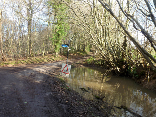
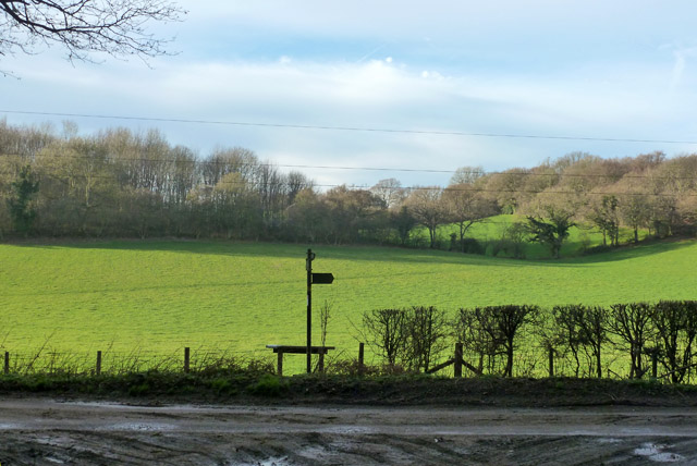
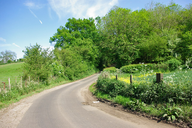
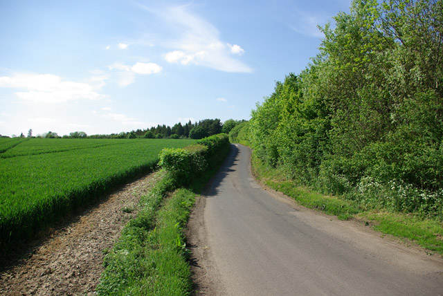
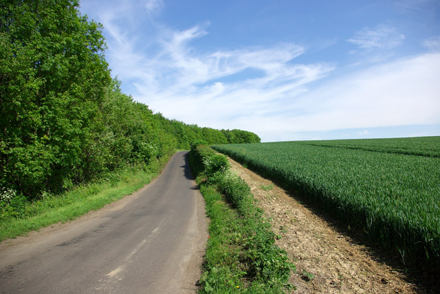
The village is home to a population of around 200 people and is known for its serene and picturesque surroundings. The landscape is characterized by rolling hills, meadows, and lush green fields, providing a peaceful and tranquil ambiance.
Bossingham boasts a rich history, with evidence of human habitation in the area dating back to the Bronze Age. The village is dotted with charming old houses and traditional Kentish cottages, adding to its historical charm.
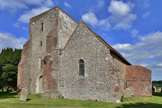
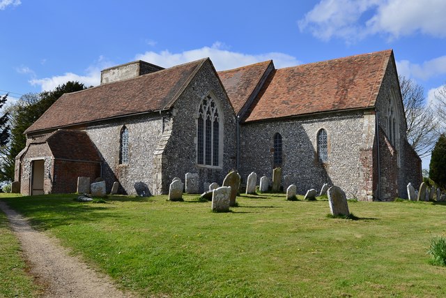
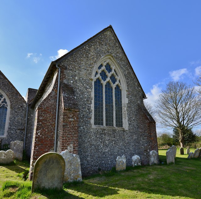
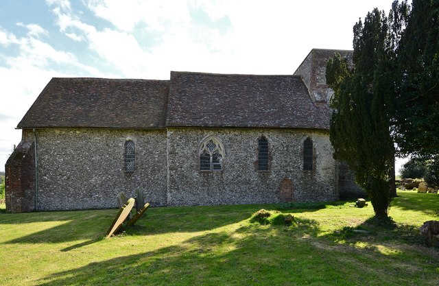
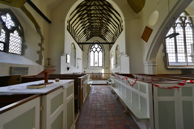
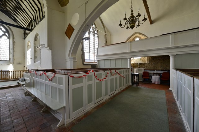
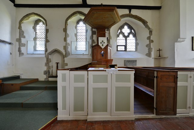
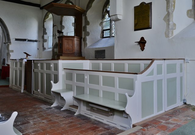
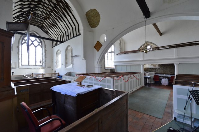
Despite its small size, Bossingham offers a close-knit and friendly community. The village has a primary school, providing education to the local children, and a church that serves as a meeting place for religious activities and community events.
For outdoor enthusiasts, Bossingham offers ample opportunities for exploring the surrounding countryside. There are several walking and cycling routes that allow visitors to take in the breathtaking views and immerse themselves in nature.
While Bossingham itself does not have many amenities, the nearby city of Canterbury provides all the necessary facilities and services, including shops, supermarkets, restaurants, and entertainment options.
Overall, Bossingham is a delightful village that offers a peaceful and idyllic lifestyle, making it a perfect destination for those seeking a rural retreat in the heart of Kent.
If you have any feedback on the listing, please let us know in the comments section below.
Bossingham Images
Images are sourced within 2km of 51.198687/1.079635 or Grid Reference TR1548. Thanks to Geograph Open Source API. All images are credited.


Bossingham is located at Grid Ref: TR1548 (Lat: 51.198687, Lng: 1.079635)
Administrative County: Kent
District: Canterbury
Police Authority: Kent
What 3 Words
///outgoing.lollipop.dries. Near Barham, Kent
Nearby Locations
Related Wikis

Bossingham
Bossingham is a village in the parish of Upper Hardres and the district of the City of Canterbury, Kent, England. It is located about five miles (8 km...

Lynsore Bottom
Lynsore Bottom is a 70.6-hectare (174-acre) biological Site of Special Scientific Interest north of Folkestone in Kent.These coppice with standards woods...

Upper Hardres
Upper Hardres is a village and civil parish in the City of Canterbury, in the district of Kent, England. The name of the Hardres family is perpetuated...

Reed Mill, Kingston
Reed Mill is a tower mill in Kingston, Kent, England that was built in the early nineteenth century and worked until 1915, after which the mill was derelict...

Stelling Minnis
Stelling Minnis is a village and civil parish in the Folkestone and Hythe district in Kent, England. The village lies 13 kilometres (8 mi) to the south...
Davison's Mill, Stelling Minnis
Davison's Mill, also known as Stelling Minnis Windmill, is a Grade I listed smock mill in Stelling Minnis, Kent, England that was built in 1866. It was...

Yockletts Bank
Yockletts Bank is a 25.4-hectare (63-acre) biological Site of Special Scientific Interest west of Stelling Minnis in Kent. It is managed by KWT and is...

Pett Bottom (Canterbury)
Pett Bottom is a small settlement about five miles (8 km) south of Canterbury, Kent, England. The nearest village is Lower Hardres. It is in the civil...
Nearby Amenities
Located within 500m of 51.198687,1.079635Have you been to Bossingham?
Leave your review of Bossingham below (or comments, questions and feedback).