Atchester Wood
Wood, Forest in Kent Canterbury
England
Atchester Wood
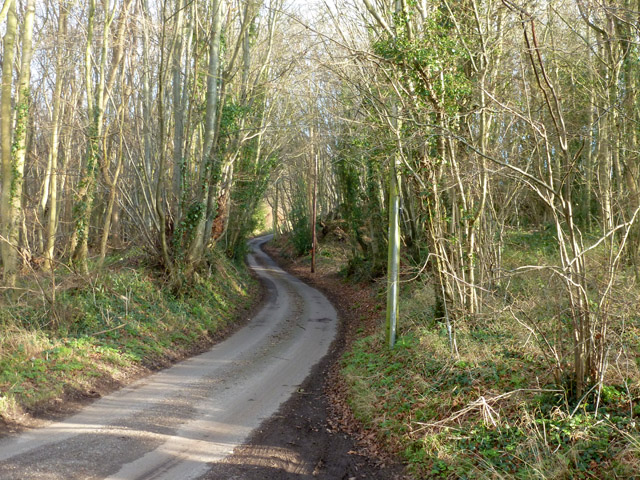
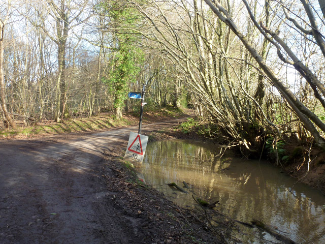
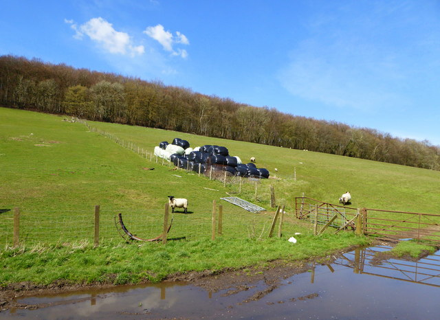
Atchester Wood, located in the county of Kent in southeastern England, is a picturesque forest known for its natural beauty and diverse wildlife. Covering an area of approximately 500 acres, the wood is a popular destination for nature enthusiasts, hikers, and birdwatchers.
The wood is characterized by its dense canopy of broadleaf trees, including oak, beech, and ash, which provide a sanctuary for various bird species such as woodpeckers, nightingales, and owls. The forest floor is carpeted with an array of wildflowers, creating a vibrant and colorful landscape during spring and summer.
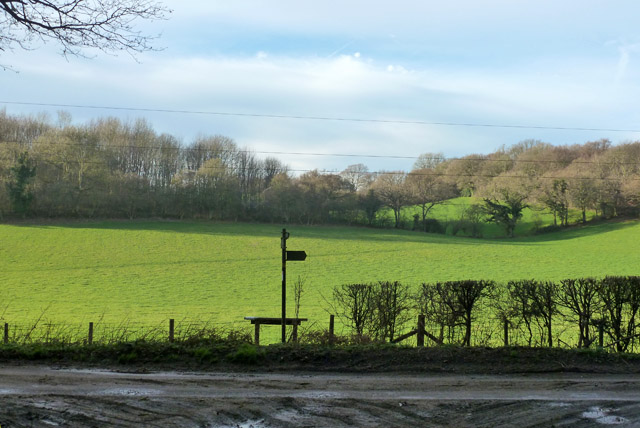
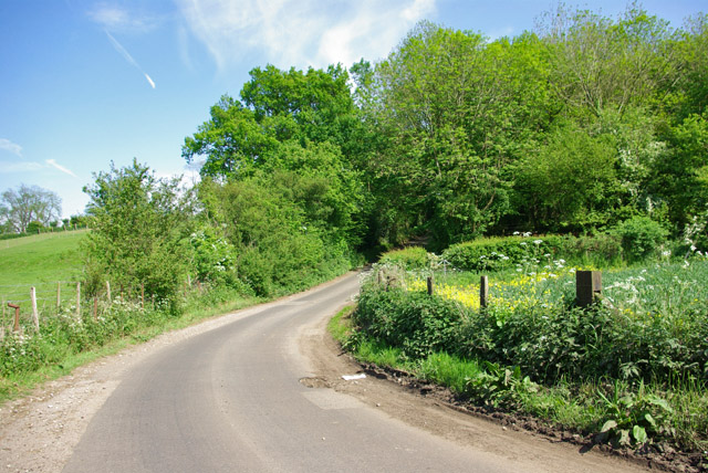
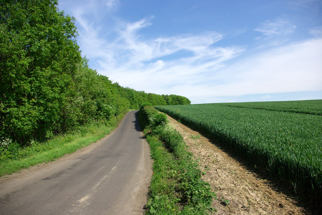
Trails and footpaths crisscross the wood, offering visitors the opportunity to explore its tranquil surroundings. These paths lead to hidden glades, babbling brooks, and small ponds, enhancing the sense of serenity and providing a peaceful retreat from the bustling outside world.
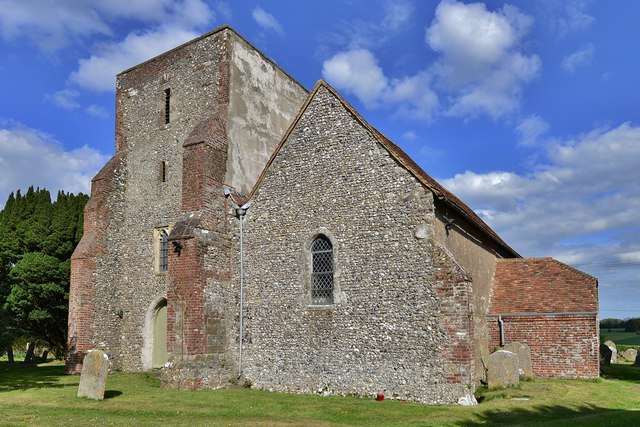
Atchester Wood also boasts a rich history, with evidence of human activity dating back thousands of years. Archaeologists have discovered ancient burial mounds and remnants of Iron Age settlements within the forest, adding an intriguing historical dimension to the site.
The wood is managed by the local conservation authority, which is dedicated to preserving its natural habitat and ensuring the welfare of its inhabitants. Regular maintenance, including tree planting and controlled burning, is carried out to maintain the ecological balance and promote biodiversity.
Overall, Atchester Wood offers a peaceful haven for nature lovers, providing a unique opportunity to connect with the natural world and experience the tranquility of the Kentish countryside.
If you have any feedback on the listing, please let us know in the comments section below.
Atchester Wood Images
Images are sourced within 2km of 51.192565/1.0869828 or Grid Reference TR1548. Thanks to Geograph Open Source API. All images are credited.


Atchester Wood is located at Grid Ref: TR1548 (Lat: 51.192565, Lng: 1.0869828)
Administrative County: Kent
District: Canterbury
Police Authority: Kent
What 3 Words
///riskiest.breezes.finest. Near Barham, Kent
Nearby Locations
Related Wikis

Lynsore Bottom
Lynsore Bottom is a 70.6-hectare (174-acre) biological Site of Special Scientific Interest north of Folkestone in Kent.These coppice with standards woods...

Bossingham
Bossingham is a village in the parish of Upper Hardres and the district of the City of Canterbury, Kent, England. It is located about five miles (8 km...

Davison's Mill, Stelling Minnis
Davison's Mill, also known as Stelling Minnis Windmill, is a Grade I listed smock mill in Stelling Minnis, Kent, England that was built in 1866. It was...
Stelling Minnis
Stelling Minnis is a village and civil parish in the Folkestone and Hythe district in Kent, England. The village lies 13 kilometres (8 mi) to the south...

Reed Mill, Kingston
Reed Mill is a tower mill in Kingston, Kent, England that was built in the early nineteenth century and worked until 1915, after which the mill was derelict...

Upper Hardres
Upper Hardres is a village and civil parish in the City of Canterbury, in the district of Kent, England. The name of the Hardres family is perpetuated...
Bladbean
Bladbean is a scattered hamlet between Canterbury and Folkestone in Kent, England. It lies along a minor road east of Stelling Minnis. It is in the civil...

Yockletts Bank
Yockletts Bank is a 25.4-hectare (63-acre) biological Site of Special Scientific Interest west of Stelling Minnis in Kent. It is managed by KWT and is...
Nearby Amenities
Located within 500m of 51.192565,1.0869828Have you been to Atchester Wood?
Leave your review of Atchester Wood below (or comments, questions and feedback).