Bossiney
Settlement in Cornwall
England
Bossiney

Bossiney is a small coastal village located in the county of Cornwall, England. Situated on the northern coast, it lies within the civil parish of Tintagel and is part of the North Cornwall District. With a population of around 200 residents, Bossiney offers a peaceful and picturesque setting for its inhabitants and visitors alike.
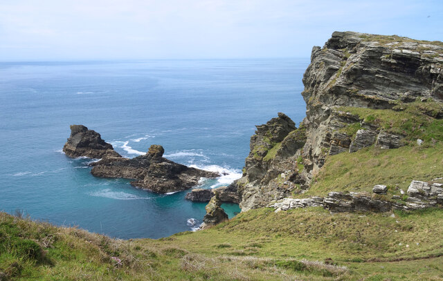
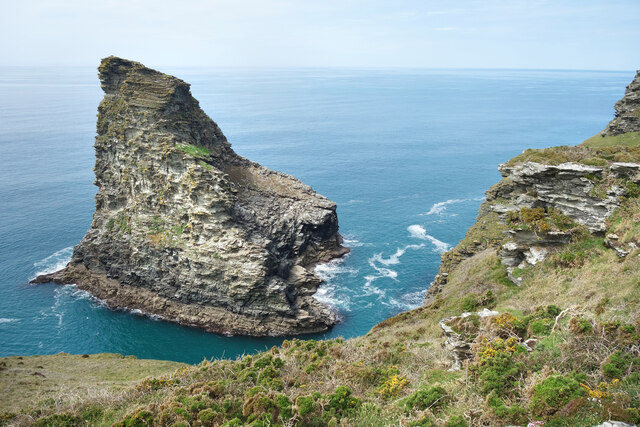
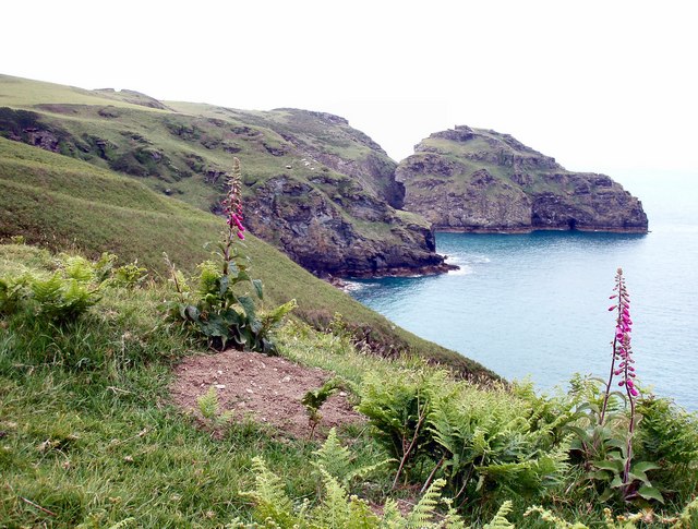
The village is known for its stunning natural beauty, surrounded by rugged cliffs and offering breathtaking views of the Atlantic Ocean. It is particularly renowned for the nearby Bossiney Cove, a secluded sandy beach that provides a tranquil escape for beachgoers and nature enthusiasts. The cove also boasts a natural rock arch, known as the Bossiney Arch, which adds to the area's charm and allure.
In addition to its natural attractions, Bossiney is steeped in history. The village is closely associated with the legendary King Arthur, with Tintagel Castle, reputed to be his birthplace, located just a short distance away. The castle ruins attract numerous tourists each year, who come to explore the Arthurian legends and enjoy the dramatic coastal scenery.
Despite its small size, Bossiney offers a range of amenities to cater to the needs of both residents and visitors. There are a few local shops and cafes, providing essential supplies and a taste of traditional Cornish hospitality. The village also benefits from its proximity to the larger town of Tintagel, where further amenities, including supermarkets, restaurants, and pubs, can be found.
Overall, Bossiney is a hidden gem on the Cornwall coast, offering natural beauty, historical intrigue, and a peaceful way of life to those who choose to call it home or visit for a tranquil getaway.
If you have any feedback on the listing, please let us know in the comments section below.
Bossiney Images
Images are sourced within 2km of 50.667054/-4.738205 or Grid Reference SX0688. Thanks to Geograph Open Source API. All images are credited.


Bossiney is located at Grid Ref: SX0688 (Lat: 50.667054, Lng: -4.738205)
Unitary Authority: Cornwall
Police Authority: Devon and Cornwall
What 3 Words
///merchant.rectangular.dwelled. Near Tintagel, Cornwall
Nearby Locations
Related Wikis
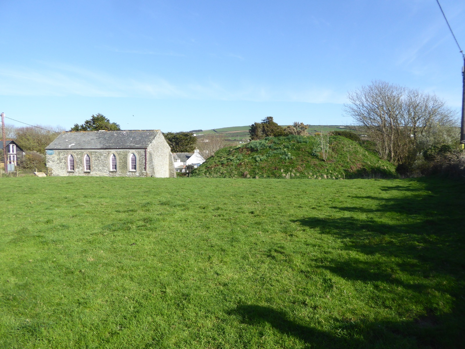
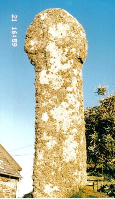
Bossiney Castle
Bossiney Castle is a Norman fortification, built in the 11th-century, following the Norman invasion of England in 1066. It is in the village of Bossiney...

Bossiney
Bossiney (Cornish: Boskyny, meaning Cyni's dwelling) is a village in north Cornwall, England, United Kingdom. It is north-east of the larger village of...

Bossiney Haven
Bossiney Haven (Cornish: Porth Boskyny, meaning cove at Bossiney) is a small cove in the civil parish of Tintagel. It is on the north coast of Cornwall...

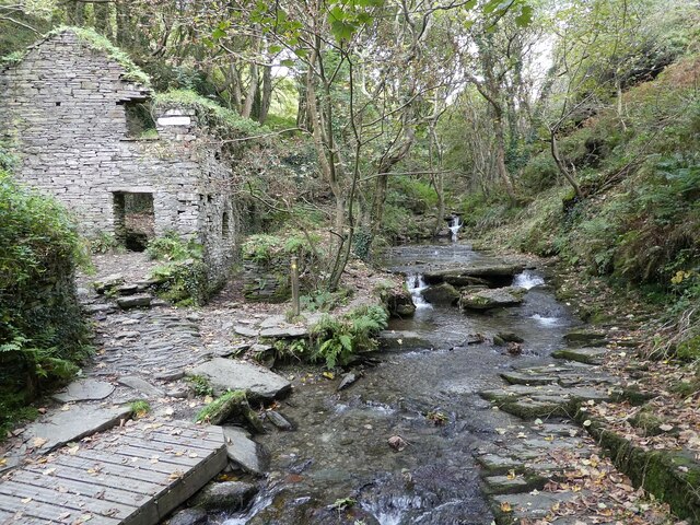
Halgabron
Halgabron (pronounced: Halgáybron; Cornish: Halgigbran, meaning marsh of the carrion-crow) is a hamlet in the parish of Tintagel, Cornwall, England. Halgabron...

St Paul's Church, Tintagel
The Catholic Church of St Paul the Apostle, in Bossiney Road, Tintagel, Cornwall, England, UK, was built in 1967 and consecrated by the Bishop of Plymouth...
Lye Cove
Lye Cove is a small coastal inlet near Tintagel on the north coast of Cornwall, South West England. The cove lies immediately below the Iron Age hill fort...

Tintagel
Tintagel () or Trevena (Cornish: Tre war Venydh, meaning Village on a Mountain) is a civil parish and village situated on the Atlantic coast of Cornwall...

Trenale
Trenale is a hamlet in north Cornwall, England, United Kingdom. It is located within the civil parish of Tintagel, to the south-east of Tintagel village...
Nearby Amenities
Located within 500m of 50.667054,-4.738205Have you been to Bossiney?
Leave your review of Bossiney below (or comments, questions and feedback).