Bossington Green
Downs, Moorland in Somerset Somerset West and Taunton
England
Bossington Green
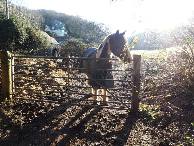
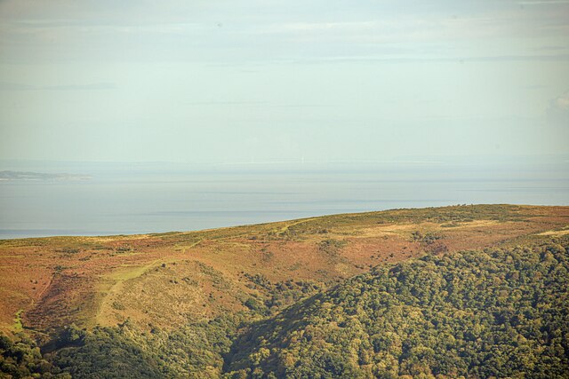
Bossington Green is a picturesque village located in the county of Somerset, England. Situated on the edge of the Exmoor National Park, it is surrounded by stunning natural beauty, including rolling hills, expansive moorland, and breathtaking views of the coastline.
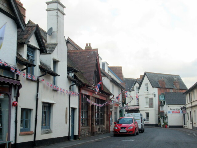
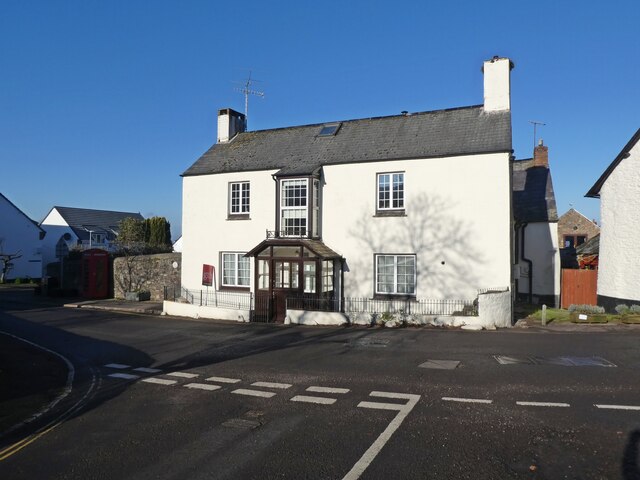
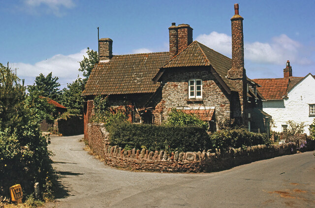
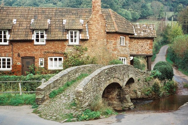
The village itself is small and idyllic, with a population of around 100 residents. It is known for its charming thatched cottages, which add to the traditional English countryside feel. The village is centered around a green, providing a peaceful and communal space for locals and visitors alike.
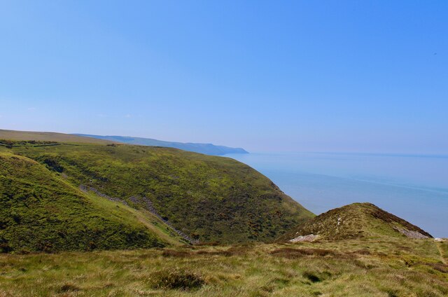
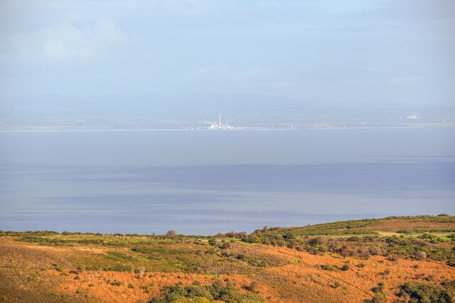
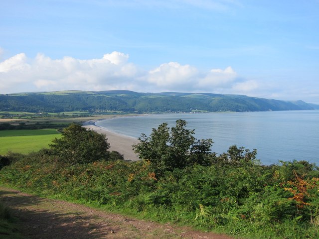
One of the main attractions of Bossington Green is its proximity to the stunning Bossington Beach. This shingle beach stretches for miles and offers visitors the chance to take long walks and enjoy the fresh sea air. The beach is also a popular destination for birdwatchers, with a variety of bird species frequenting the area.
For those who enjoy outdoor activities, Bossington Green offers plenty of opportunities for walking, hiking, and cycling. The surrounding moorland and downs provide a diverse range of landscapes to explore, from heather-covered hills to open grasslands. The village is also a starting point for the South West Coast Path, a long-distance hiking trail that offers breathtaking views of the surrounding coastline.
Overall, Bossington Green is a tranquil and beautiful village that offers a true taste of rural English life. Whether it's exploring the rolling hills, enjoying the coastal views, or simply relaxing in the peaceful surroundings, visitors to Bossington Green are sure to be captivated by its natural beauty.
If you have any feedback on the listing, please let us know in the comments section below.
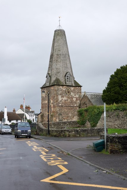
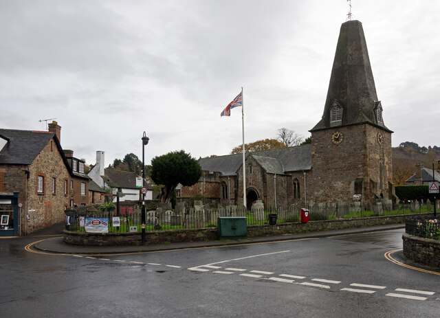
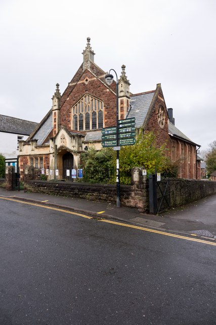
Bossington Green Images
Images are sourced within 2km of 51.218681/-3.5774982 or Grid Reference SS8947. Thanks to Geograph Open Source API. All images are credited.

Bossington Green is located at Grid Ref: SS8947 (Lat: 51.218681, Lng: -3.5774982)
Administrative County: Somerset
District: Somerset West and Taunton
Police Authority: Avon and Somerset
What 3 Words
///intrigued.wrist.pollution. Near Porlock, Somerset
Nearby Locations
Related Wikis
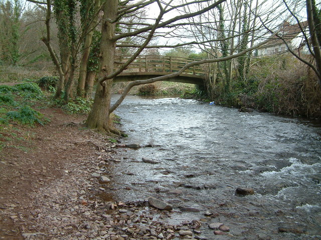
River Aller
The River Aller is a small river on Exmoor in Somerset, England. It rises as several small streams around Tivington and Huntscott and flows through the...

Lynch Chapel Of Ease
The Anglican Lynch Chapel Of Ease in West Lynch, Selworthy, Somerset, England was built around 1530. It is a Grade II* listed building. == History == The...
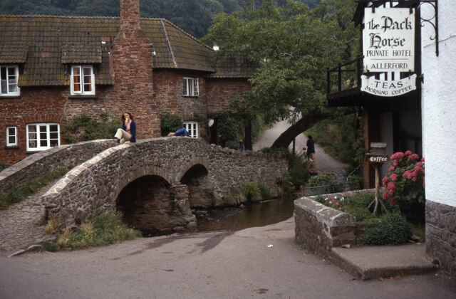
Allerford
Allerford is a village in the county of Somerset, England, located within Exmoor National Park, and is part of the parish of Selworthy in the district...
River Horner
The River Horner, also known as Horner Water, rises near Luccombe on Exmoor, Somerset, and flows past Porlock into Porlock Bay near Hurlstone Point on...

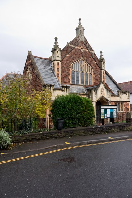
West Somerset Rural Life Museum and Victorian School
The West Somerset Rural Life Museum is a small museum in Allerford, Somerset, England. The building was built in 1821 as the village school and was closed...

Coleridge Way
The Coleridge Way is a 51-mile (82 km) long-distance trail in Somerset and Devon, England. It was opened in April 2005, and the route links several sites...

Hurlstone Point
Hurlstone point (grid reference SS898492) is a promontory of land between Porlock Weir and Minehead in the Exmoor National Park on the coast of Somerset...

Dovery Manor Museum
Dovery Manor Museum, also known as Porlock Museum, is a local museum in Porlock, Somerset, England. The building was built as a Manor house in the late...
Nearby Amenities
Located within 500m of 51.218681,-3.5774982Have you been to Bossington Green?
Leave your review of Bossington Green below (or comments, questions and feedback).