Tinshill

Settlement in Yorkshire

England

Tinshill

Old Rushes Farm Old Rushes Farm seen from the Leeds Country Way
Old Rushes Farm Credit: Mick Melvin

Tinshill is a small suburban area located in the county of Yorkshire, England. Situated approximately six miles northwest of the city center of Leeds, Tinshill falls within the boundaries of the Leeds City Council. Historically, the area was a part of the ancient parish of Horsforth, but it has since developed into its own distinct community.

Tinshill is primarily a residential area, offering a mix of housing types ranging from detached houses to semi-detached and terraced properties. The neighborhood is known for its peaceful and family-friendly atmosphere, making it an attractive place to live for individuals seeking a quieter suburban lifestyle while still being within close proximity to the amenities of a large city.

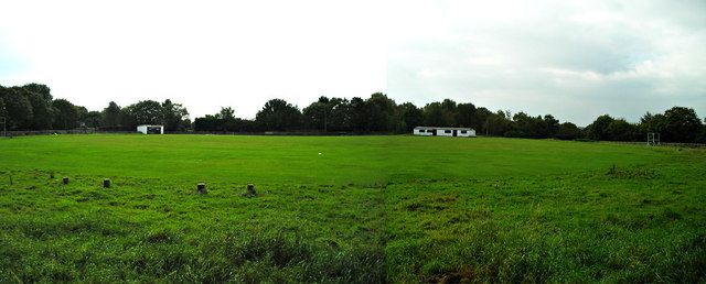
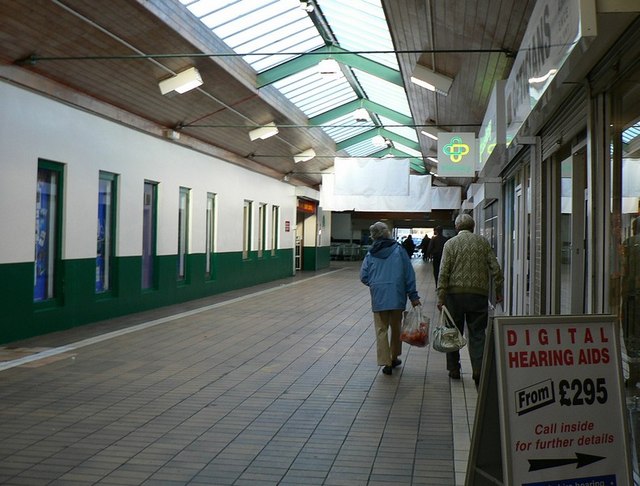
In terms of amenities, Tinshill offers a range of local shops, including convenience stores and small businesses, providing residents with easy access to everyday essentials. Additionally, there are several green spaces and parks within the vicinity, such as Tinshill Recreation Ground, which provide recreational opportunities for both children and adults.

Transportation in Tinshill is well-served by local bus services, connecting residents to nearby areas and the city center. The area also benefits from its close proximity to major road networks, including the A65 and A660, which provide convenient access to Leeds and other nearby towns.

Overall, Tinshill is a peaceful and residential neighborhood within the Yorkshire region, offering a comfortable living environment with a range of amenities and easy access to nearby urban areas.

If you have any feedback on the listing, please let us know in the comments section below.
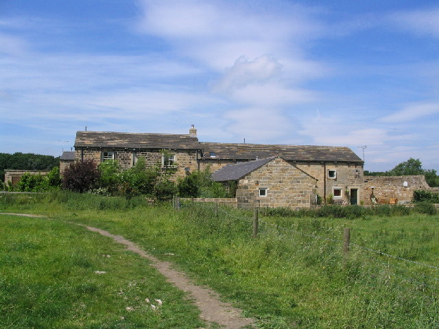
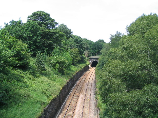
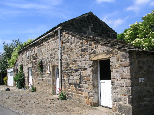
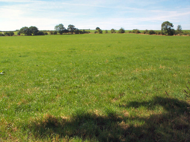
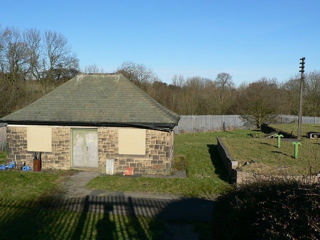
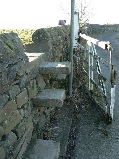
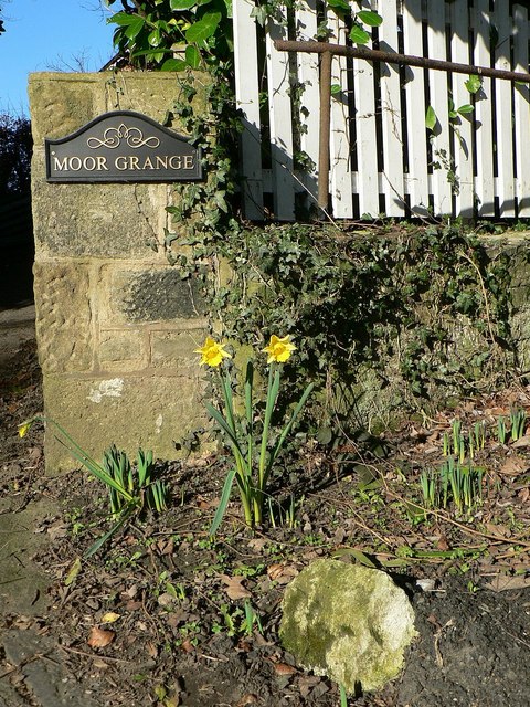
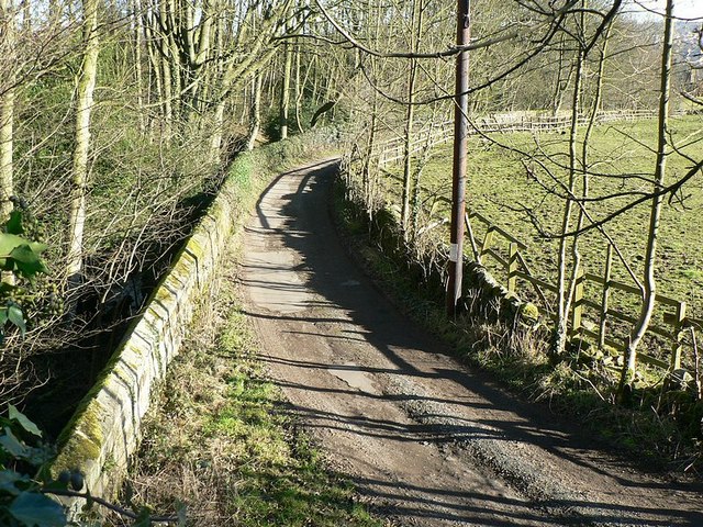
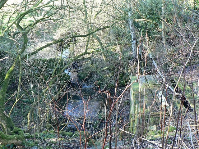
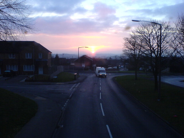
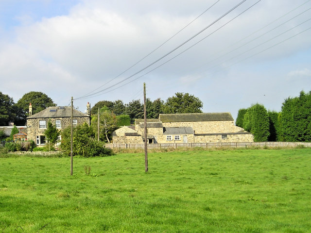
Tinshill Images

Images are sourced within 2km of 53.851575/-1.618409 or Grid Reference SE2539. Thanks to Geograph Open Source API. All images are credited.

Old Rushes Farm Old Rushes Farm seen from the Leeds Country Way
Old Rushes Farm
Old Rushes Farm seen from the Leeds Country Way
Moseley Bottom The  entrance to the railway tunnel at Moseley Bottom on the Leeds to Harrogate line
Moseley Bottom
The entrance to the railway tunnel at Moseley Bottom on the Leeds to Harrogate line
Scotland, Yorkshire An old cottage and adjoining stable at the hamlet of Scotland, the hamlet is directly under the flight path from Leeds Bradford Airport.
Scotland, Yorkshire
An old cottage and adjoining stable at the hamlet of Scotland, the hamlet is directly under the flight path from Leeds Bradford Airport.
Crag Hill, Bramhope Moor Pasture land viewed southwards from Old Road.
Crag Hill, Bramhope Moor
Pasture land viewed southwards from Old Road.
Cookridge Methodist Church, Tinshill Road, Cookridge, Leeds The church is near the junction of Tinshill Road and Otley Old Road. This is the view from Tinshill Road looking south-east
Cookridge Methodist Church, Tinshill Road, Cookridge, Leeds
The church is near the junction of Tinshill Road and Otley Old Road. This is the view from Tinshill Road looking south-east
Adel Methodist Church, Holt Lane, Adel, Leeds
Scotland Scotland Lane as it passes through the hamlet of Scotland, by the entrance to Moor Grange Farm.
Scotland
Scotland Lane as it passes through the hamlet of Scotland, by the entrance to Moor Grange Farm.
Approach lights, Leeds Bradford Airport Looking south-east, with the end of runway 32 behind my right side.
Approach lights, Leeds Bradford Airport
Looking south-east, with the end of runway 32 behind my right side.
Reservoir and pump house(?) On the right is a small covered reservoir. The building presumably houses pumps and so on.
Reservoir and pump house(?)
On the right is a small covered reservoir. The building presumably houses pumps and so on.
Stone stile and broken gate On the private road / public footpath from Scotland Lane, past the stable and houses at <a href="https://www.geograph.org.uk/photo/20878">SE2340 : Scotland, Yorkshire</a>, leading to the reservoir <a href="https://www.geograph.org.uk/photo/328420">SE2340 : Reservoir and pump house(?)</a>. The post by the stile has a "Public Footpath" sign at the top.
Stone stile and broken gate
On the private road / public footpath from Scotland Lane, past the stable and houses at SE2340 : Scotland, Yorkshire, leading to the reservoir SE2340 : Reservoir and pump house(?). The post by the stile has a "Public Footpath" sign at the top.
Very early daffodils, Scotland, Yorkshire By the entrance to Moor Grange on Scotland Lane, in the hamlet of Scotland near Horsforth.
Very early daffodils, Scotland, Yorkshire
By the entrance to Moor Grange on Scotland Lane, in the hamlet of Scotland near Horsforth.
The lane to Owlet Farm Looking down from Scotland Lane
The lane to Owlet Farm
Looking down from Scotland Lane
Scotland Beck Looking down from Scotland Lane as the Beck flows into the culvert under the road.
Scotland Beck
Looking down from Scotland Lane as the Beck flows into the culvert under the road.
Sunrise at Holt Park. Even urban sprawl can have its charm given the right light.
Sunrise at Holt Park.
Even urban sprawl can have its charm given the right light.
Potato Storage This underground cool house was used for potato storage. According to a local historian, in the more remote past it may have been an ice house for a farm house that is no longer here.
Potato Storage
This underground cool house was used for potato storage. According to a local historian, in the more remote past it may have been an ice house for a farm house that is no longer here.
Manor Farm This house farm is less than 50 m from the last suburban houses of North Leeds.
Manor Farm
This house farm is less than 50 m from the last suburban houses of North Leeds.
Cricket Pitch
Cricket Pitch
Holt Park District Centre The central aisle of the centre is between the Leisure Centre on the left, and shops on the right. It was never beautiful, but it used to have more activity than it does now. I remember 20 years ago, there was a newsagents, a greengrocers, a travel agent and a large chemists shop. Now ASDA occupies most of the shops, and the 2 shops remaining down this end are the opticians and a smaller chemist.
Redevelopment is planned, but I don't know how soon.
Holt Park District Centre
The central aisle of the centre is between the Leisure Centre on the left, and shops on the right. It was never beautiful, but it used to have more activity than it does now. I remember 20 years ago, there was a newsagents, a greengrocers, a travel agent and a large chemists shop. Now ASDA occupies most of the shops, and the 2 shops remaining down this end are the opticians and a smaller chemist. Redevelopment is planned, but I don't know how soon.
Show me another place!

Tinshill is located at Grid Ref: SE2539 (Lat: 53.851575, Lng: -1.618409)

Division: West Riding

Unitary Authority: Leeds

Police Authority: West Yorkshire

What 3 Words

///storms.blend.seated. Near Horsforth, West Yorkshire

Related Wikis

Tinshill

Tinshill (pronounced Tins-hill) is a district of Leeds, 4 miles (7 km) north of Leeds city centre, West Yorkshire, England. It was the Danes in the 9th...
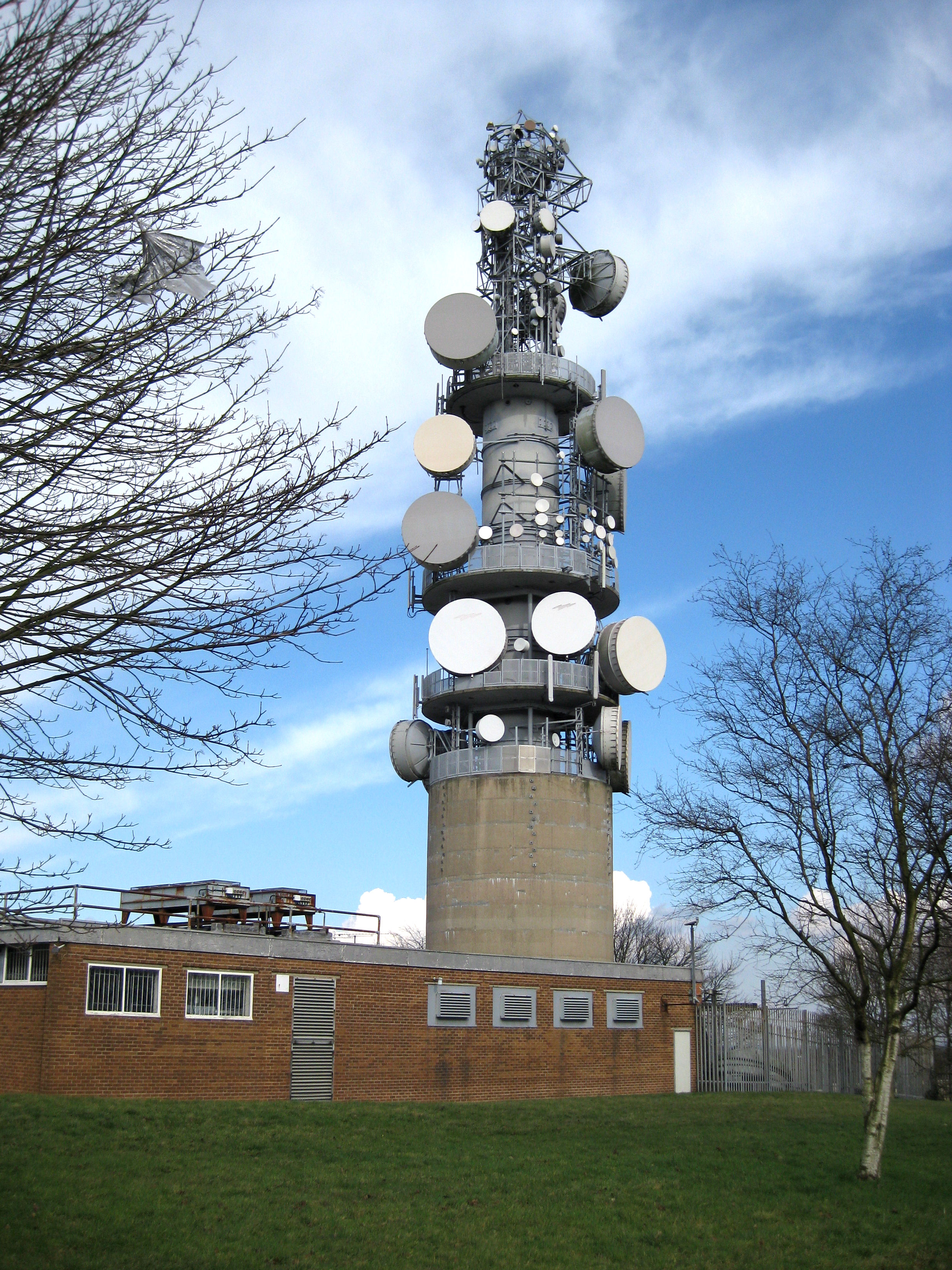
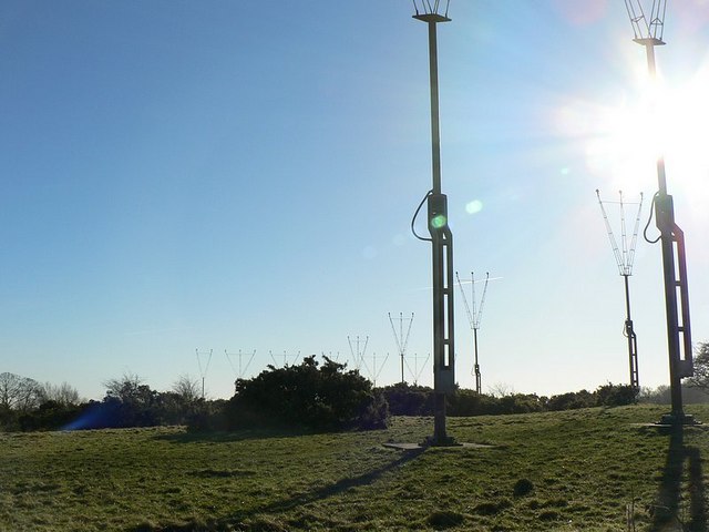
Tinshill BT Tower

The Tinshill BT Tower (also known locally as Cookridge Tower, or Tinshall BT Radio Station) is a 60.96 metres ( 200 ft) tall telecommunication tower located...

Cookridge

Cookridge is a suburb of north-west Leeds, West Yorkshire, England, north of the Leeds Outer Ring Road. In 1715 Ralph Thoresby described it as a village...

Ralph Thoresby School

Ralph Thoresby School is a foundation secondary school and sixth form located in Holt Park, Leeds, West Yorkshire, England. Named after the antiquarian...

Nearby Amenities

Located within 500m of 53.851575,-1.618409
Traffic Signals
Direction: forward
Lat/Long: 53.8541696/-1.612886
Traffic Signals
Lat/Long: 53.8534537/-1.6125625
Cookridge
Is In: Leeds
Place: suburb
Lat/Long: 53.8544222/-1.6186552
Bus Stop
Otley Old Road Tinshill Lane
Bus: yes
Local Ref: 45010760
Naptan AtcoCode: 450010760
Naptan Bearing: SE
Naptan CommonName: Otley Old Road Tinshill Lane
Naptan Crossing: Tinshill Lane
Naptan Indicator: Stop 45010760
Naptan PlusbusZoneRef: LEEDS
Naptan ShortCommonName: Tinshill Lane
Naptan Street: Otley Old Road
Naptan Verified: no
Public Transport: platform
Source: naptan_import
Lat/Long: 53.8531516/-1.6120855
Bus Stop
Woodnook Drive Silk Mill Drive
Bus: yes
Local Ref: 45011524
Naptan AtcoCode: 450011524
Naptan Bearing: S
Naptan CommonName: Woodnook Drive Silk Mill Drive
Naptan Crossing: Silk Mill Drive
Naptan Indicator: Stop 45011524
Naptan PlusbusZoneRef: LEEDS
Naptan ShortCommonName: Silkmill Drive
Naptan Street: Woodnook Drive
Naptan Verified: no
Public Transport: platform
Shelter: no
Source: naptan_import
Lat/Long: 53.8491705/-1.6207564
Bus Stop
Tinshill Lane Blackwood Grove
Bus: yes
Local Ref: 45011527
Naptan AtcoCode: 450011527
Naptan Bearing: W
Naptan CommonName: Tinshill Lane Blackwood Grove
Naptan Crossing: Black Wood Grove
Naptan Indicator: Stop 45011527
Naptan Landmark: Church
Naptan PlusbusZoneRef: LEEDS
Naptan ShortCommonName: Black Wood Grove
Naptan Street: Tinshill Lane
Naptan Verified: no
Public Transport: platform
Source: naptan_import
Lat/Long: 53.8489209/-1.6242548
Bus Stop
Tinshill Lane Tinshill Avenue
Bench: yes
Bin: no
Bus: yes
Lit: yes
Local Ref: 45011528
Naptan AtcoCode: 450011528
Naptan Bearing: NE
Naptan CommonName: Tinshill Lane Tinshill Avenue
Naptan Crossing: Tinshill Avenue
Naptan Indicator: Stop 45011528
Naptan PlusbusZoneRef: LEEDS
Naptan ShortCommonName: Tinshill Avenue
Naptan Street: Tinshill Lane
Naptan Verified: no
Public Transport: platform
Shelter: yes
Source: naptan_import
Tactile Paving: no
Lat/Long: 53.8511165/-1.6175098
Bus Stop
Silk Mill Drive Woodnook Drive
Bus: yes
Local Ref: 45011529
Naptan AtcoCode: 450011529
Naptan Bearing: NW
Naptan CommonName: Silk Mill Drive Woodnook Drive
Naptan Crossing: Woodnook Drive
Naptan Indicator: Stop 45011529
Naptan Landmark: Post Office
Naptan PlusbusZoneRef: LEEDS
Naptan ShortCommonName: Woodnook Drive
Naptan Street: Silk Mill Drive
Naptan Verified: no
Public Transport: platform
Shelter: yes
Source: naptan_import
Lat/Long: 53.8488392/-1.6202285
Bus Stop
Tinshill Lane Tinshill Avenue
Bench: no
Bin: no
Bus: yes
Lit: yes
Local Ref: 45011531
Naptan AtcoCode: 450011531
Naptan Bearing: SW
Naptan CommonName: Tinshill Lane Tinshill Avenue
Naptan Crossing: Tinshill Avenue
Naptan Indicator: Stop 45011531
Naptan PlusbusZoneRef: LEEDS
Naptan ShortCommonName: Tinshill Avenue
Naptan Street: Tinshill Lane
Naptan Verified: no
Public Transport: platform
Shelter: no
Source: naptan_import
Tactile Paving: no
Lat/Long: 53.8508777/-1.6177462
Bus Stop
Tinshill Lane Tinshill Grove
Bus: yes
Local Ref: 45011532
Naptan AtcoCode: 450011532
Naptan Bearing: NE
Naptan CommonName: Tinshill Lane Tinshill Grove
Naptan Crossing: Tinshill Grove
Naptan Indicator: Stop 45011532
Naptan PlusbusZoneRef: LEEDS
Naptan ShortCommonName: Tinshill Grove
Naptan Street: Tinshill Lane
Naptan Verified: no
Public Transport: platform
Shelter: yes
Source: naptan_import
Lat/Long: 53.8532919/-1.6135275
Bus Stop
Tinshill Lane Tinshill Grove
Bench: yes
Bus: yes
Departures Board: realtime
Local Ref: 45011533
Naptan AtcoCode: 450011533
Naptan Bearing: SW
Naptan CommonName: Tinshill Lane Tinshill Grove
Naptan Crossing: Tinshill Grove
Naptan Indicator: Stop 45011533
Naptan PlusbusZoneRef: LEEDS
Naptan ShortCommonName: Tinshill Grove
Naptan Street: Tinshill Lane
Naptan Verified: no
Public Transport: platform
Shelter: yes
Source: naptan_import
Lat/Long: 53.8532709/-1.6130546
Bus Stop
Otley Old Road Tinshill Lane
Bus: yes
Local Ref: 45011732
Naptan AtcoCode: 450011732
Naptan Bearing: N
Naptan CommonName: Otley Old Road Tinshill Lane
Naptan Crossing: Tinshill Lane
Naptan Indicator: Stop 45011732
Naptan Landmark: Fire Station
Naptan PlusbusZoneRef: LEEDS
Naptan ShortCommonName: Tinshill Lane
Naptan Street: Otley Old Road
Naptan Verified: no
Public Transport: platform
Source: naptan_import
Lat/Long: 53.8543858/-1.6129862
Turning Circle
Lat/Long: 53.8550951/-1.6207509
Turning Circle
Lat/Long: 53.8538866/-1.6222783
Turning Circle
Lat/Long: 53.854304/-1.6237774
Turning Circle
Lat/Long: 53.853444/-1.6246592
Turning Circle
Lat/Long: 53.8520063/-1.6258238
Turning Circle
Lat/Long: 53.8521672/-1.6184802
Turning Circle
Lat/Long: 53.8505612/-1.6239125
Turning Circle
Lat/Long: 53.8508716/-1.6229016
Turning Circle
Lat/Long: 53.8515312/-1.6123261
Turning Circle
Lat/Long: 53.8487119/-1.6175009
Turning Circle
Lat/Long: 53.8487915/-1.6153471
Turning Circle
Lat/Long: 53.8501553/-1.6168399
Turning Circle
Lat/Long: 53.8537271/-1.6138172
Post Box
Brand: Royal Mail
Brand Wikidata: Q638098
Brand Wikipedia: en:Royal Mail
Operator: Royal Mail
Operator Wikidata: Q638098
Post Box Type: pillar
Ref: LS16 950
Royal Cypher: EIIR
Royal Cypher Wikidata: Q33102113
Lat/Long: 53.848696/-1.6199029
Post Box
Brand: Royal Mail
Brand Wikidata: Q638098
Brand Wikipedia: en:Royal Mail
Operator: Royal Mail
Operator Wikidata: Q638098
Post Box Type: pillar
Ref: LS16 253
Royal Cypher: EIIR
Royal Cypher Wikidata: Q33102113
Lat/Long: 53.8489882/-1.6237589
Post Box
Brand: Royal Mail
Brand Wikidata: Q638098
Brand Wikipedia: en:Royal Mail
Collection Times: Mo-Fr 09:00; Sa 07:00
Operator: Royal Mail
Operator Wikidata: Q638098
Post Box Type: pillar
Ref: LS16 921
Royal Cypher: EIIR
Royal Cypher Wikidata: Q33102113
Lat/Long: 53.8508926/-1.618017
Post Box
Brand: Royal Mail
Brand Wikidata: Q638098
Brand Wikipedia: en:Royal Mail
Operator: Royal Mail
Operator Wikidata: Q638098
Post Box Type: pillar
Ref: LS16 651
Royal Cypher: GR
Royal Cypher Wikidata: Q33102273
Lat/Long: 53.8529227/-1.6227123
Post Box
Brand: Royal Mail
Brand Wikidata: Q638098
Brand Wikipedia: en:Royal Mail
Operator: Royal Mail
Operator Wikidata: Q638098
Post Box Type: pillar
Ref: LS16 432
Lat/Long: 53.8533575/-1.6134106
Crossing
Crossing: traffic_signals
Crossing Island: yes
Crossing Ref: pelican
Kerb: flush
Tactile Paving: yes
Lat/Long: 53.8533354/-1.6124289
Silk Mill Drive Woodnook Drive
Bus: yes
Public Transport: stop_position
Lat/Long: 53.8489126/-1.6202061
Turning Circle
Lat/Long: 53.8549118/-1.6227013
Turning Circle
Lat/Long: 53.8495012/-1.6138325
Turning Circle
Lat/Long: 53.8501943/-1.6143904
Turning Circle
Lat/Long: 53.8498982/-1.6129801
Cafe
Alexanders Deli
Addr City: Leeds
Addr Housenumber: 399
Addr Postcode: LS16 7DF
Addr Street: Otley Old Road
Addr Suburb: Cookridge
Fhrs Id: 1215168
Old Name: Bear View
Lat/Long: 53.8536396/-1.6130322
Lemondrops Convenience Store
Addr City: Leeds
Addr Housenumber: 4
Addr Postcode: LS16 6DX
Addr Street: Silk Mill Drive
Addr Suburb: Cookridge
Fhrs Id: 1223678
Shop: convenience
Lat/Long: 53.8486957/-1.6203768
Telephone
Booth: KXPlus
Covered: booth
Lat/Long: 53.8533923/-1.6134215
Waste Basket
Collection Times: Mo-Fr
Ref UK Leedscc Bin: 2894
Lat/Long: 53.848617/-1.619762
Waste Basket
Collection Times: Mo-Fr
Ref UK Leedscc Bin: 202
Lat/Long: 53.84897/-1.618221
Waste Basket
Collection Times: Mo-Fr
Ref UK Leedscc Bin: 3252
Lat/Long: 53.84967/-1.620683
Waste Basket
Collection Times: Mo-Fr
Ref UK Leedscc Bin: 198
Lat/Long: 53.849166/-1.617892
Waste Basket
Collection Times: Mo-Fr
Ref UK Leedscc Bin: 201
Lat/Long: 53.849239/-1.617691
Waste Basket
Collection Times: Mo-Fr
Ref UK Leedscc Bin: 2409
Lat/Long: 53.853322/-1.612178
Waste Basket
Collection Times: Mo-Fr
Ref UK Leedscc Bin: 3257
Lat/Long: 53.853374/-1.613251
Waste Basket
Collection Times: Mo-Fr
Ref UK Leedscc Bin: 3256
Lat/Long: 53.853899/-1.61304
Waste Basket
Collection Times: Mo-Fr
Ref UK Leedscc Bin: 3253
Lat/Long: 53.852067/-1.615952
Waste Basket
Collection Times: We; Sa
Condition: GOOD
Ref UK Leedscc Bin: 6845
Waste Basket Model: METAL SQUARE
Lat/Long: 53.854408/-1.623384
Waste Basket
Collection Times: Mo-Fr
Condition: FAIR
Ref UK Leedscc Bin: 3249
Waste Basket Model: METAL TWIN
Lat/Long: 53.854878/-1.61421
Fast Food
Four Seasons Pizzeria
Addr City: Leeds
Addr Housenumber: 12
Addr Postcode: LS16 6DX
Addr Street: Silk Mill Drive
Addr Suburb: Cookridge
Cuisine: pizza
Fhrs Id: 1225965
Takeaway: yes
Lat/Long: 53.8485679/-1.6200247
Parking
Lat/Long: 53.8484741/-1.6186938
Bench
Lat/Long: 53.8534019/-1.6121183
Generator Method: photovoltaic
Generator Output Electricity: yes
Generator Source: solar
Generator Type: solar_photovoltaic_panel
Power: generator
Lat/Long: 53.8555244/-1.6172452
Generator Method: photovoltaic
Generator Output Electricity: yes
Generator Source: solar
Generator Type: solar_photovoltaic_panel
Power: generator
Lat/Long: 53.8542332/-1.6192754
Barrier: bollard
Bollard: fixed
Lat/Long: 53.8514041/-1.6160239
Barrier: bollard
Bollard: fixed
Lat/Long: 53.8514849/-1.6158848
Otley Old Road Tinshill Lane
Bus: yes
Public Transport: stop_position
Lat/Long: 53.8531304/-1.6121655
Tinshill Lane Tinshill Grove
Bus: yes
Public Transport: stop_position
Lat/Long: 53.8533351/-1.6131005
Tinshill Lane Tinshill Grove
Bus: yes
Public Transport: stop_position
Lat/Long: 53.8532445/-1.6134831
Otley Old Road Tinshill Lane
Bus: yes
Public Transport: stop_position
Lat/Long: 53.8543912/-1.6129269
Tinshill Lane Tinshill Avenue
Bus: yes
Public Transport: stop_position
Lat/Long: 53.8510843/-1.6174432
Tinshill Lane Tinshill Avenue
Bus: yes
Public Transport: stop_position
Lat/Long: 53.8508972/-1.6177703
Woodnook Drive Silk Mill Drive
Bus: yes
Public Transport: stop_position
Lat/Long: 53.8491614/-1.620803
Generator Method: photovoltaic
Generator Output Electricity: yes
Generator Source: solar
Generator Type: solar_photovoltaic_panel
Power: generator
Lat/Long: 53.8478175/-1.618747
Generator Method: photovoltaic
Generator Output Electricity: yes
Generator Source: solar
Generator Type: solar_photovoltaic_panel
Power: generator
Lat/Long: 53.8493028/-1.6182216
Generator Method: photovoltaic
Generator Output Electricity: yes
Generator Source: solar
Generator Type: solar_photovoltaic_panel
Power: generator
Lat/Long: 53.8499594/-1.6168462
Generator Method: photovoltaic
Generator Output Electricity: yes
Generator Source: solar
Generator Type: solar_photovoltaic_panel
Power: generator
Lat/Long: 53.8505876/-1.617772
Generator Method: photovoltaic
Generator Output Electricity: yes
Generator Source: solar
Generator Type: solar_photovoltaic_panel
Power: generator
Lat/Long: 53.8505486/-1.6161248
Generator Method: photovoltaic
Generator Output Electricity: yes
Generator Source: solar
Generator Type: solar_photovoltaic_panel
Power: generator
Lat/Long: 53.8498413/-1.6245212
Generator Method: photovoltaic
Generator Output Electricity: yes
Generator Source: solar
Generator Type: solar_photovoltaic_panel
Power: generator
Lat/Long: 53.8516204/-1.6183005
Generator Method: photovoltaic
Generator Output Electricity: yes
Generator Source: solar
Generator Type: solar_photovoltaic_panel
Power: generator
Lat/Long: 53.8530933/-1.6179409
Generator Method: photovoltaic
Generator Output Electricity: yes
Generator Source: solar
Generator Type: solar_photovoltaic_panel
Power: generator
Lat/Long: 53.8529973/-1.6181498
Parking
Capacity Disabled: 2
Parking: surface
Lat/Long: 53.8551744/-1.6148585
Crossing
Crossing: traffic_signals
Crossing Island: yes
Crossing Markings: yes
Lat/Long: 53.8534096/-1.6127624
The data included in this document is from www.openstreetmap.org. The data is made available under ODbL.

Have you been to Tinshill?

Leave your review of Tinshill below (or comments, questions and feedback).