Ireland Wood

Wood, Forest in Yorkshire

England

Ireland Wood

Moseley Bottom The  entrance to the railway tunnel at Moseley Bottom on the Leeds to Harrogate line
Moseley Bottom Credit: Mick Melvin

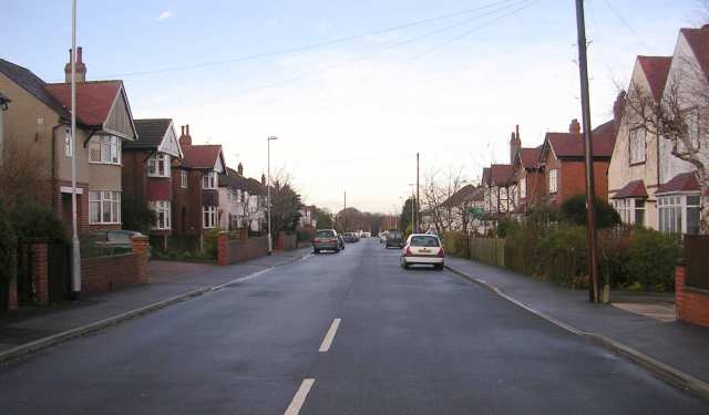
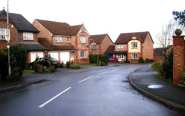
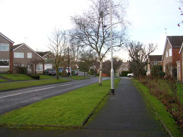
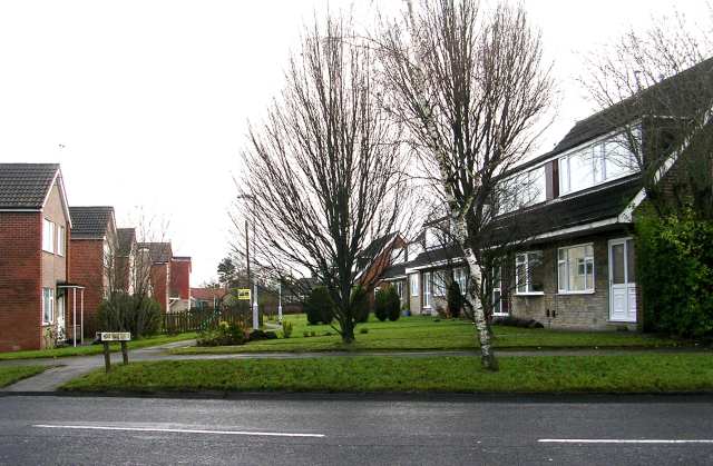
Ireland Wood is a residential area located in the county of Yorkshire, England, specifically in the suburb of Adel. It is nestled within the larger Ireland Wood and Tinshill Local Nature Reserve, which covers an area of approximately 40 hectares. The neighborhood is well-known for its natural beauty, with a significant portion of the area covered in dense woodland.

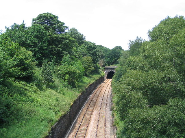
The woodland in Ireland Wood is primarily composed of deciduous trees such as oak, birch, and beech, providing a picturesque setting for residents and visitors alike. The forested area offers a peaceful and tranquil environment, attracting nature enthusiasts and walkers who enjoy exploring the well-maintained trails that wind through the woods.

Ireland Wood is predominantly a residential area, with a mix of housing options including detached and semi-detached houses, as well as some apartment buildings. The neighborhood is known for its family-friendly atmosphere, with several schools, parks, and recreational facilities in close proximity.

In terms of amenities, Ireland Wood benefits from being close to the larger commercial centers of Leeds and Bradford, which provide a wide range of shopping, dining, and entertainment options. The neighborhood also has its own local shops and services, including a convenience store and a few small businesses.

Overall, Ireland Wood offers a combination of natural beauty, a family-friendly environment, and convenient access to nearby urban centers, making it an attractive place to live for those seeking a balance between rural tranquility and urban convenience.

If you have any feedback on the listing, please let us know in the comments section below.
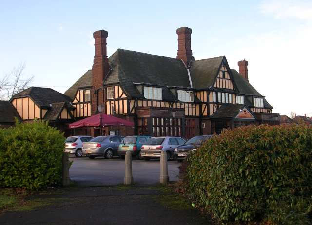
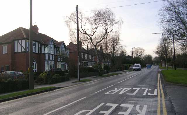
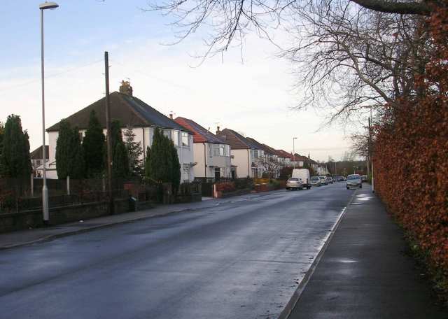
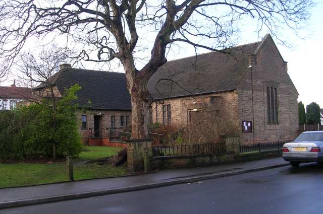
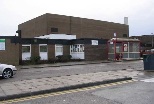
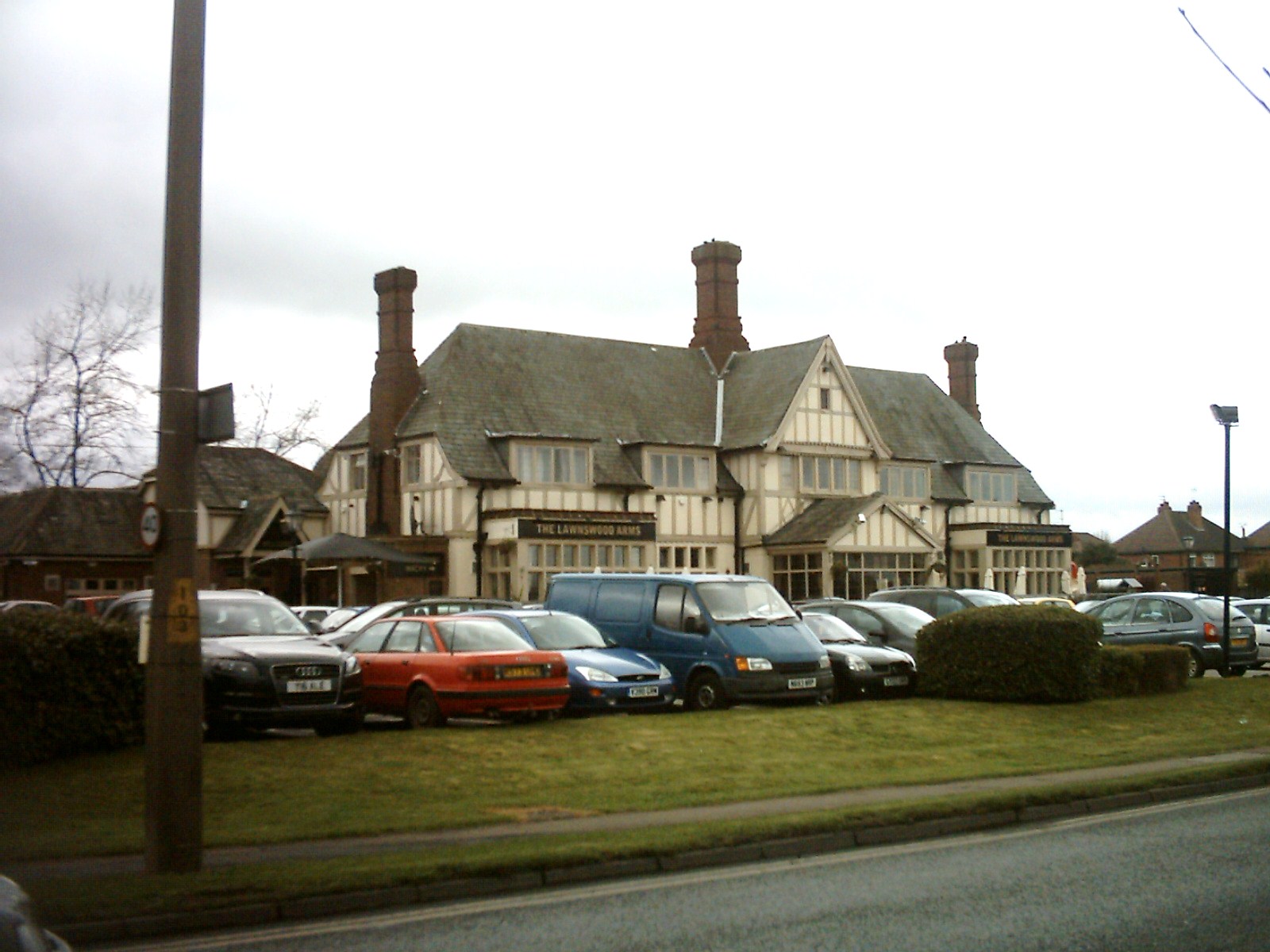
Ireland Wood Images

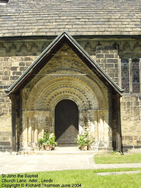
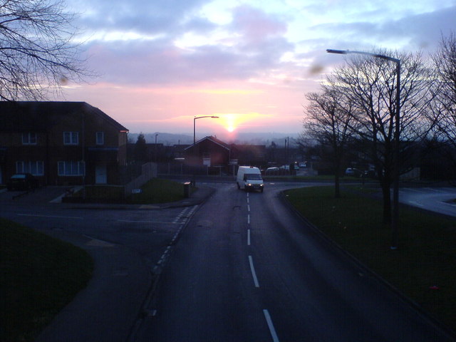
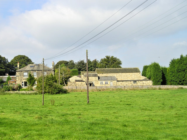
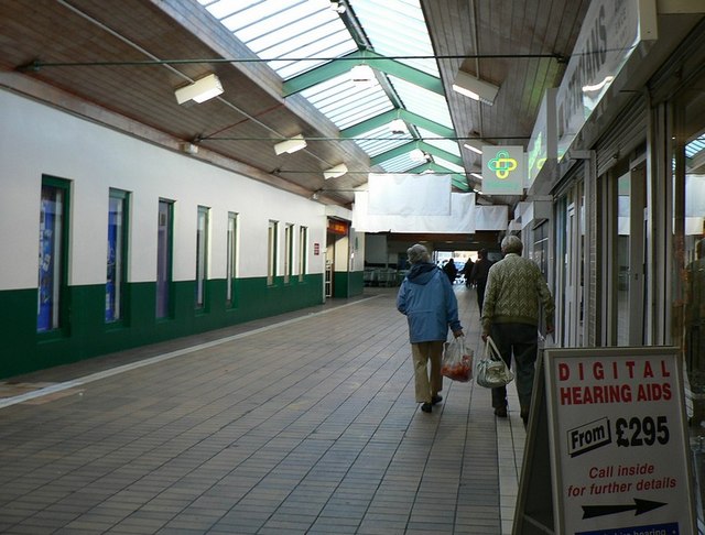
Images are sourced within 2km of 53.846765/-1.6090029 or Grid Reference SE2539. Thanks to Geograph Open Source API. All images are credited.

Moseley Bottom The  entrance to the railway tunnel at Moseley Bottom on the Leeds to Harrogate line
Moseley Bottom
The entrance to the railway tunnel at Moseley Bottom on the Leeds to Harrogate line
Cookridge Methodist Church, Tinshill Road, Cookridge, Leeds The church is near the junction of Tinshill Road and Otley Old Road. This is the view from Tinshill Road looking south-east
Cookridge Methodist Church, Tinshill Road, Cookridge, Leeds
The church is near the junction of Tinshill Road and Otley Old Road. This is the view from Tinshill Road looking south-east
St John The Baptist Church, Church Lane, Adel, Leeds This is one of the oldest churches in the Leeds area, dating back to Norman times (11th-12th century). Unusually for such an old church, it was not developed, enlarged or extended in Victorian times.
St John The Baptist Church, Church Lane, Adel, Leeds
This is one of the oldest churches in the Leeds area, dating back to Norman times (11th-12th century). Unusually for such an old church, it was not developed, enlarged or extended in Victorian times.
Adel Methodist Church, Holt Lane, Adel, Leeds
St John the Baptist Church, Church Lane, Adel, Leeds This church has a lovely Norman doorway.
St John the Baptist Church, Church Lane, Adel, Leeds
This church has a lovely Norman doorway.
Sunrise at Holt Park. Even urban sprawl can have its charm given the right light.
Sunrise at Holt Park.
Even urban sprawl can have its charm given the right light.
Manor Farm This house farm is less than 50 m from the last suburban houses of North Leeds.
Manor Farm
This house farm is less than 50 m from the last suburban houses of North Leeds.
Holt Park District Centre The central aisle of the centre is between the Leisure Centre on the left, and shops on the right. It was never beautiful, but it used to have more activity than it does now. I remember 20 years ago, there was a newsagents, a greengrocers, a travel agent and a large chemists shop. Now ASDA occupies most of the shops, and the 2 shops remaining down this end are the opticians and a smaller chemist.
Redevelopment is planned, but I don't know how soon.
Holt Park District Centre
The central aisle of the centre is between the Leisure Centre on the left, and shops on the right. It was never beautiful, but it used to have more activity than it does now. I remember 20 years ago, there was a newsagents, a greengrocers, a travel agent and a large chemists shop. Now ASDA occupies most of the shops, and the 2 shops remaining down this end are the opticians and a smaller chemist. Redevelopment is planned, but I don't know how soon.
The Lawnswood Arms - Otley Road
Gainsbro Avenue
Gainsbro Avenue
Adel Methodist Church Hall - Gainsbro Avenue
Adel Methodist Church - Holt Lane
Gainsbro Drive - Holt Lane
Chestnut Drive - Holt Lane
Holt Park Approach
Holt Park Approach
Holt Park Health Centre
Show me another place!

Ireland Wood is located at Grid Ref: SE2539 (Lat: 53.846765, Lng: -1.6090029)

Division: West Riding

Unitary Authority: Leeds

Police Authority: West Yorkshire

What 3 Words

///mole.sheet.pencil. Near Horsforth, West Yorkshire

Related Wikis

Ireland Wood

Ireland Wood is a small residential area in north-west Leeds, West Yorkshire, England named after the Woodland Trust wood which it contains. It is approximately...

Lawnswood

Lawnswood is a small suburb in the north west of the city of Leeds in West Yorkshire, England. As such it is north north east of the West Yorkshire Urban...

Leeds North West (UK Parliament constituency)

Leeds North West is a constituency in the City of Leeds which has been represented in the House of Commons of the UK Parliament since 2017 by Alex Sobel...

Tinshill

Tinshill (pronounced Tins-hill) is a district of Leeds, 4 miles (7 km) north of Leeds city centre, West Yorkshire, England. It was the Danes in the 9th...

Nearby Amenities

Located within 500m of 53.846765,-1.6090029
Bus Stop
Raynel Drive Otley Old Road
Bus: yes
Local Ref: 45010751
Naptan AtcoCode: 450010751
Naptan Bearing: SW
Naptan CommonName: Raynel Drive Otley Old Road
Naptan Crossing: Otley Old Road
Naptan Indicator: Stop 45010751
Naptan Landmark: St Pauls Church
Naptan PlusbusZoneRef: LEEDS
Naptan ShortCommonName: Otley Old Road
Naptan Street: Raynel Drive
Naptan Verified: no
Public Transport: platform
Shelter: no
Source: naptan_import
Lat/Long: 53.8502027/-1.6063515
Bus Stop
Otley Old Road Hospital Lane
Bench: yes
Bus: yes
Local Ref: 45010753
Naptan AtcoCode: 450010753
Naptan Bearing: W
Naptan CommonName: Otley Old Road Hospital Lane
Naptan Crossing: Hospital Lane
Naptan Indicator: Stop 45010753
Naptan PlusbusZoneRef: LEEDS
Naptan ShortCommonName: Hosipal Lane
Naptan Street: Otley Old Road
Naptan Verified: no
Public Transport: platform
Shelter: yes
Source: naptan_import
Lat/Long: 53.8504659/-1.6081654
Bus Stop
Otley Old Road Hospital Lane
Bench: yes
Bin: yes
Bus: yes
Lit: yes
Local Ref: 45010761
Naptan AtcoCode: 450010761
Naptan Bearing: E
Naptan CommonName: Otley Old Road Hospital Lane
Naptan Crossing: Hospital Lane
Naptan Indicator: Stop 45010761
Naptan PlusbusZoneRef: LEEDS
Naptan ShortCommonName: Hospital Lane
Naptan Street: Otley Old Road
Naptan Verified: no
Public Transport: platform
Shelter: yes
Source: naptan_import
Lat/Long: 53.850379/-1.6073489
Bus Stop
Silk Mill Way Iveson Drive
Bus: yes
Local Ref: 45011512
Naptan AtcoCode: 450011512
Naptan Bearing: E
Naptan CommonName: Silk Mill Way Iveson Drive
Naptan Crossing: Iveson Drive
Naptan Indicator: Stop 45011512
Naptan PlusbusZoneRef: LEEDS
Naptan ShortCommonName: Iveson Drive
Naptan Street: Silk Mill Way
Naptan Verified: no
Public Transport: platform
Source: naptan_import
Lat/Long: 53.8444114/-1.6109655
Bus Stop
Silk Mill Way Birchtree Way
Bus: yes
Local Ref: 45011517
Naptan AtcoCode: 450011517
Naptan Bearing: E
Naptan CommonName: Silk Mill Way Birchtree Way
Naptan Crossing: Birchtree Way
Naptan Indicator: Stop 45011517
Naptan PlusbusZoneRef: LEEDS
Naptan ShortCommonName: Birchtree Way
Naptan Street: Silk Mill Way
Naptan Verified: no
Public Transport: platform
Source: naptan_import
Lat/Long: 53.8444236/-1.6147348
Bus Stop
Silk Mill Way Birchtree Way
Bus: yes
Local Ref: 45011519
Naptan AtcoCode: 450011519
Naptan Bearing: W
Naptan CommonName: Silk Mill Way Birchtree Way
Naptan Crossing: Birchtree Way
Naptan Indicator: Stop 45011519
Naptan Landmark: Unknown
Naptan PlusbusZoneRef: LEEDS
Naptan ShortCommonName: Birchtree Way
Naptan Street: Silk Mill Way
Naptan Verified: no
Public Transport: platform
Source: naptan_import
Lat/Long: 53.8443988/-1.615419
Bus Stop
Silk Mill Way Iveson Drive
Bus: yes
Local Ref: 45011521
Naptan AtcoCode: 450011521
Naptan Bearing: W
Naptan CommonName: Silk Mill Way Iveson Drive
Naptan Crossing: Iveson Drive
Naptan Indicator: Stop 45011521
Naptan PlusbusZoneRef: LEEDS
Naptan ShortCommonName: Iveson Drive
Naptan Street: Silk Mill Way
Naptan Verified: no
Public Transport: platform
Source: naptan_import
Lat/Long: 53.8441879/-1.6113476
Bus Stop
Raynel Approach Otley Old Road
Bus: yes
Local Ref: 45011534
Naptan AtcoCode: 450011534
Naptan Bearing: NE
Naptan CommonName: Raynel Approach Otley Old Road
Naptan Crossing: Otley Old Road
Naptan Indicator: Stop 45011534
Naptan Landmark: Church
Naptan PlusbusZoneRef: LEEDS
Naptan ShortCommonName: Otley Old Road
Naptan Street: Raynel Approach
Naptan Verified: no
Public Transport: platform
Source: naptan_import
Lat/Long: 53.8503376/-1.6063654
Bus Stop
Otley Old Road Iveson Drive
Bus: yes
Local Ref: 45011540
Naptan AtcoCode: 450011540
Naptan Bearing: S
Naptan CommonName: Otley Old Road Iveson Drive
Naptan Crossing: Iveson Drive
Naptan Indicator: Stop 45011540
Naptan PlusbusZoneRef: LEEDS
Naptan ShortCommonName: Iveson Drive
Naptan Street: Otley Old Road
Naptan Verified: no
Public Transport: platform
Shelter: yes
Source: naptan_import
Lat/Long: 53.848155/-1.6040906
Bus Stop
Iveson Approach Iveson Drive
Bus: yes
Local Ref: 45011541
Naptan AtcoCode: 450011541
Naptan Bearing: SW
Naptan CommonName: Iveson Approach Iveson Drive
Naptan Crossing: Iveson Drive
Naptan Indicator: Stop 45011541
Naptan PlusbusZoneRef: LEEDS
Naptan ShortCommonName: Iveson Drive
Naptan Street: Iveson Approach
Naptan Verified: no
Public Transport: platform
Source: naptan_import
Lat/Long: 53.8437308/-1.6089656
Bus Stop
Iveson Approach Iveson Grove
Bench: no
Bin: yes
Bus: yes
Lit: yes
Local Ref: 45011543
Naptan AtcoCode: 450011543
Naptan Bearing: NE
Naptan CommonName: Iveson Approach Iveson Grove
Naptan Crossing: Iveson Grove
Naptan Indicator: Stop 45011543
Naptan Landmark: Royal Mail Sorting Office
Naptan PlusbusZoneRef: LEEDS
Naptan ShortCommonName: Iveson Grove
Naptan Street: Iveson Approach
Naptan Verified: no
Public Transport: platform
Shelter: no
Source: naptan_import
Tactile Paving: no
Lat/Long: 53.8460133/-1.6060716
Bus Stop
Iveson Approach Iveson Crescent
Bus: yes
Local Ref: 45011544
Naptan AtcoCode: 450011544
Naptan Bearing: NE
Naptan CommonName: Iveson Approach Iveson Crescent
Naptan Crossing: Iveson Crescent
Naptan Indicator: Stop 45011544
Naptan PlusbusZoneRef: LEEDS
Naptan ShortCommonName: Iveson Crescent
Naptan Street: Iveson Approach
Naptan Verified: no
Public Transport: platform
Source: naptan_import
Lat/Long: 53.8441705/-1.6087487
Bus Stop
Iveson Approach Otley Old Road
Bus: yes
Local Ref: 45011545
Naptan AtcoCode: 450011545
Naptan Bearing: NE
Naptan CommonName: Iveson Approach Otley Old Road
Naptan Crossing: Otley Old Road
Naptan Indicator: Stop 45011545
Naptan Landmark: School
Naptan Notes: Opp Wise Owl PH
Naptan PlusbusZoneRef: LEEDS
Naptan ShortCommonName: Otley Old Road
Naptan Street: Iveson Approach
Naptan Verified: no
Public Transport: platform
Shelter: no
Source: naptan_import
Lat/Long: 53.8468024/-1.6040877
Bus Stop
Iveson Approach Iveson Grove
Bench: yes
Bin: no
Bus: yes
Lit: yes
Local Ref: 45011546
Naptan AtcoCode: 450011546
Naptan Bearing: SW
Naptan CommonName: Iveson Approach Iveson Grove
Naptan Crossing: Iverson Grove
Naptan Indicator: Stop 45011546
Naptan Landmark: Sorting Office
Naptan PlusbusZoneRef: LEEDS
Naptan ShortCommonName: Iverson Grove
Naptan Street: Iveson Approach
Naptan Verified: no
Public Transport: platform
Shelter: yes
Source: naptan_import
Tactile Paving: no
Lat/Long: 53.8457983/-1.6063016
Bus Stop
Otley Old Road Iveson Drive
Bench: yes
Bin: no
Bus: yes
Local Ref: 45011547
Naptan AtcoCode: 450011547
Naptan Bearing: NW
Naptan CommonName: Otley Old Road Iveson Drive
Naptan Crossing: Iveson Drive
Naptan Indicator: Stop 45011547
Naptan Landmark: School
Naptan PlusbusZoneRef: LEEDS
Naptan ShortCommonName: Iveson Drive
Naptan Street: Otley Old Road
Naptan Verified: no
Public Transport: platform
Shelter: yes
Source: naptan_import
Tactile Paving: no
Lat/Long: 53.8477602/-1.6043072
Bus Stop
Otley Old Road Iveson Drive
Bus: yes
Local Ref: 45011550
Naptan AtcoCode: 450011550
Naptan Bearing: N
Naptan CommonName: Otley Old Road Iveson Drive
Naptan Crossing: Iveson Drive
Naptan Indicator: Stop 45011550
Naptan Landmark: School
Naptan PlusbusZoneRef: LEEDS
Naptan ShortCommonName: Iveson Drive
Naptan Street: Otley Old Road
Naptan Verified: no
Public Transport: platform
Shelter: yes
Source: naptan_import
Lat/Long: 53.847363/-1.6037941
Turning Circle
Lat/Long: 53.8490081/-1.6032317
Turning Circle
Lat/Long: 53.8483731/-1.6027947
Turning Circle
Lat/Long: 53.8476515/-1.6018914
Turning Circle
Lat/Long: 53.8487915/-1.6153471
Turning Circle
Lat/Long: 53.849549/-1.6092537
Turning Circle
Lat/Long: 53.843927/-1.6138137
Turning Circle
Lat/Long: 53.8485582/-1.6058441
Turning Circle
Lat/Long: 53.8494905/-1.6074527
Turning Circle
Lat/Long: 53.8480517/-1.6094903
Turning Circle
Lat/Long: 53.8493185/-1.608361
Parking
Parking: surface
Lat/Long: 53.8460526/-1.6078675
Turning Circle
Lat/Long: 53.8430821/-1.6065279
Turning Circle
Lat/Long: 53.845282/-1.6021101
Crossing
Crossing: marked
Crossing Island: no
Crossing Ref: zebra
Kerb: flush
Tactile Paving: yes
Lat/Long: 53.850164/-1.6068119
Library
Source: OS_OpenData_StreetView
Lat/Long: 53.8459372/-1.6056275
Cookridge Hospital (CLOSED)
Addr City: Leeds
Addr Postcode: LS16 6QB
Addr Street: Hospital Lane
Description: Former hospital. Opened 1869. Closed 2008.
Lat/Long: 53.8455651/-1.6140559
Turning Circle
Lat/Long: 53.849656/-1.6089426
Turning Circle
Lat/Long: 53.8507878/-1.6082568
Post Box
Brand: Royal Mail
Brand Wikidata: Q638098
Brand Wikipedia: en:Royal Mail
Collection Times: Mo-Fr 17:00; Sa 10:30
Operator: Royal Mail
Operator Wikidata: Q638098
Post Box Type: pillar
Ref: LS16 902
Royal Cypher: GVIR
Royal Cypher Wikidata: Q33102169
Lat/Long: 53.8453474/-1.6073953
Post Box
Brand: Royal Mail
Brand Wikidata: Q638098
Brand Wikipedia: en:Royal Mail
Operator: Royal Mail
Operator Wikidata: Q638098
Post Box Type: pillar
Ref: LS16 905
Royal Cypher: GVIR
Royal Cypher Wikidata: Q33102169
Lat/Long: 53.848541/-1.6039235
Post Box
Brand: Royal Mail
Brand Wikidata: Q638098
Brand Wikipedia: en:Royal Mail
Operator: Royal Mail
Operator Wikidata: Q638098
Post Box Type: pillar
Ref: LS16 24
Royal Cypher: GVIR
Royal Cypher Wikidata: Q33102169
Lat/Long: 53.8503032/-1.6107798
Crossing
Crossing: uncontrolled
Crossing Island: no
Crossing Markings: zebra
Crossing Ref: zebra
Kerb: flush
Tactile Paving: yes
Lat/Long: 53.8474297/-1.6037373
Bicycle Parking
Bicycle Parking: stands
Capacity: 4
Covered: no
Lat/Long: 53.848652/-1.6039914
Post Office
Ireland Wood Post Office
Addr City: Leeds
Addr Postcode: LS16 6LQ
Brand: Post Office
Brand Wikidata: Q1783168
Check Date: 2022-01-15
Operator: Shop Local
Ref Pol Id: 9895
Website: https://www.postoffice.co.uk/branch-finder/2513234/ireland-wood
Lat/Long: 53.8485697/-1.603758
Cafe
Residence 74 Café & Bar
Addr City: Leeds
Addr Housenumber: 74
Addr Postcode: LS16 6LQ
Addr Street: Otley Old Road
Fhrs Id: 1098252
Old Name: Mochaccino
Lat/Long: 53.8486298/-1.6037929
Pharmacy
WA Hawkin & Sons Pharmacy
Healthcare: pharmacy
Lat/Long: 53.848739/-1.6038693
Logan Stores
Addr City: Leeds
Addr Housenumber: 80
Addr Postcode: LS16 6LQ
Addr Street: Otley Old Road
Fhrs Id: 650659
Shop: convenience
Lat/Long: 53.8487865/-1.6039029
Dentist
Cookridge Dental Practice
Healthcare: dentist
Lat/Long: 53.8484115/-1.6036641
Atm
Lat/Long: 53.8485396/-1.6038251
Barrier: bollard
Lat/Long: 53.8489985/-1.6033609
Barrier: bollard
Lat/Long: 53.8489368/-1.6036586
Turning Circle
Lat/Long: 53.8435082/-1.6141775
Turning Circle
Lat/Long: 53.8495012/-1.6138325
Turning Circle
Lat/Long: 53.8498982/-1.6129801
Turning Circle
Lat/Long: 53.8501127/-1.6087422
Turning Circle
Lat/Long: 53.8492893/-1.6112485
Ireland Wood
Is In: Leeds, West Yorkshire, United Kingdom
Place: suburb
Start Date: 1950
Wikidata: Q6068559
Wikipedia: en:Ireland Wood
Lat/Long: 53.8445643/-1.6059009
Parking
Capacity Disabled: yes
Parking: surface
Lat/Long: 53.8442833/-1.6057522
Turning Circle
Lat/Long: 53.8505705/-1.6076527
Cafe
Keepers Coffee And Kitchen
Addr City: Leeds
Addr Housenumber: 76
Addr Postcode: LS16 6LQ
Addr Street: Otley Old Road
Addr Suburb: Cookridge
Fhrs Id: 1028729
Lat/Long: 53.8486794/-1.6038309
Turning Circle
Lat/Long: 53.8501184/-1.6077791
Turning Loop
Lat/Long: 53.8450193/-1.6130908
Childcare
Dawn 'Til Dusk OOSC
Addr City: Leeds
Addr Housename: Holy Name Catholic Voluntary Academy
Addr Postcode: LS16 6NT
Addr Street: Iveson Approach
Addr Suburb: Lawnswood
Fhrs Id: 1198457
Not Addr Postcode: LS16 6HW
Lat/Long: 53.8471438/-1.6045404
Social Facility
Raynel Drive Community Home
Addr City: Leeds
Addr Housenumber: 7-9
Addr Postcode: LS16 6BS
Addr Street: Raynel Drive
Addr Suburb: Lawnswood
Fhrs Id: 1101699
Social Facility: assisted_living
Lat/Long: 53.8504694/-1.6050828
Waste Basket
Collection Times: Mo-Fr
Ref UK Leedscc Bin: 5104
Lat/Long: 53.844419/-1.603912
Waste Basket
Collection Times: Mo-Fr
Ref UK Leedscc Bin: 1559
Lat/Long: 53.842995/-1.607265
Waste Basket
Collection Times: Mo-Fr
Ref UK Leedscc Bin: 1547
Lat/Long: 53.846757/-1.604404
Waste Basket
Collection Times: Mo-Fr
Ref UK Leedscc Bin: 2405
Lat/Long: 53.847592/-1.60414
Waste Basket
Collection Times: Mo-Fr
Ref UK Leedscc Bin: 1557
Lat/Long: 53.843277/-1.608375
Waste Basket
Collection Times: Mo-Fr
Ref UK Leedscc Bin: 1546
Lat/Long: 53.846111/-1.605918
Waste Basket
Collection Times: Mo-Fr
Ref UK Leedscc Bin: 1548
Lat/Long: 53.845916/-1.606338
Waste Basket
Collection Times: Mo-Fr
Ref UK Leedscc Bin: 2406
Lat/Long: 53.848069/-1.60386
Waste Basket
Collection Times: Mo-Fr
Ref UK Leedscc Bin: 1556
Lat/Long: 53.843443/-1.608759
Waste Basket
Collection Times: Mo-Fr
Ref UK Leedscc Bin: 1551
Lat/Long: 53.843974/-1.608625
Waste Basket
Collection Times: Mo-Fr
Ref UK Leedscc Bin: 1549
Lat/Long: 53.844176/-1.608474
Waste Basket
Collection Times: Mo-Fr
Ref UK Leedscc Bin: 1554
Lat/Long: 53.843797/-1.608777
Waste Basket
Collection Times: Mo-Fr
Ref UK Leedscc Bin: 1550
Lat/Long: 53.843974/-1.608711
Waste Basket
Collection Times: Mo-Fr
Ref UK Leedscc Bin: 1555
Lat/Long: 53.843596/-1.609014
Waste Basket
Collection Times: Mo-Fr
Ref UK Leedscc Bin: 2407
Lat/Long: 53.848797/-1.604318
Waste Basket
Collection Times: Mo-Fr
Ref UK Leedscc Bin: 1552
Lat/Long: 53.847529/-1.608015
Waste Basket
Collection Times: Mo-Fr
Ref UK Leedscc Bin: 2895
Lat/Long: 53.844262/-1.61155
Waste Basket
Collection Times: Mo-Fr
Ref UK Leedscc Bin: 2896
Lat/Long: 53.84414/-1.613113
Waste Basket
Collection Times: Mo-Fr
Ref UK Leedscc Bin: 2341
Lat/Long: 53.850492/-1.607715
Waste Basket
Collection Times: Mo-Fr
Ref UK Leedscc Bin: 2408
Lat/Long: 53.851084/-1.610564
Crossing
Crossing: marked
Crossing Markings: yes
Lat/Long: 53.8431995/-1.6045709
Crossing
Crossing: unmarked
Crossing Island: no
Crossing Markings: no
Kerb: flush
Tactile Paving: yes
Lat/Long: 53.8429127/-1.6071765
Generator Method: photovoltaic
Generator Output Electricity: yes
Generator Source: solar
Generator Type: solar_photovoltaic_panel
Power: generator
Lat/Long: 53.8426905/-1.607206
Crossing
Crossing: unmarked
Crossing Island: no
Crossing Markings: no
Kerb: flush
Tactile Paving: yes
Lat/Long: 53.8435655/-1.6091741
Generator Method: photovoltaic
Generator Output Electricity: yes
Generator Source: solar
Generator Type: solar_photovoltaic_panel
Power: generator
Lat/Long: 53.8448686/-1.61394
Iveson Approach Otley Old Road
Bus: yes
Public Transport: stop_position
Lat/Long: 53.8467561/-1.6040484
Otley Old Road Iveson Drive
Bus: yes
Public Transport: stop_position
Lat/Long: 53.8473786/-1.6037048
Otley Old Road Iveson Drive
Bus: yes
Local Ref: 45011540
Public Transport: stop_position
Lat/Long: 53.8481481/-1.604171
Otley Old Road Iveson Drive
Bus: yes
Public Transport: stop_position
Lat/Long: 53.8477683/-1.6042748
Otley Old Road Hospital Lane
Bus: yes
Public Transport: stop_position
Lat/Long: 53.8503317/-1.6073811
Otley Old Road Hospital Lane
Bus: yes
Public Transport: stop_position
Lat/Long: 53.8505169/-1.6081456
Shop Local
Check Date: 2022-01-15
Shop: convenience
Lat/Long: 53.848556/-1.6038014
Low Farm
Place: neighbourhood
Lat/Long: 53.8503826/-1.6083413
Entrance: yes
Lat/Long: 53.8473491/-1.6031121
The data included in this document is from www.openstreetmap.org. The data is made available under ODbL.

Have you been to Ireland Wood?

Leave your review of Ireland Wood below (or comments, questions and feedback).