Ireland Wood

Wood, Forest in Yorkshire

England

Ireland Wood

Moseley Bottom The  entrance to the railway tunnel at Moseley Bottom on the Leeds to Harrogate line
Moseley Bottom Credit: Mick Melvin

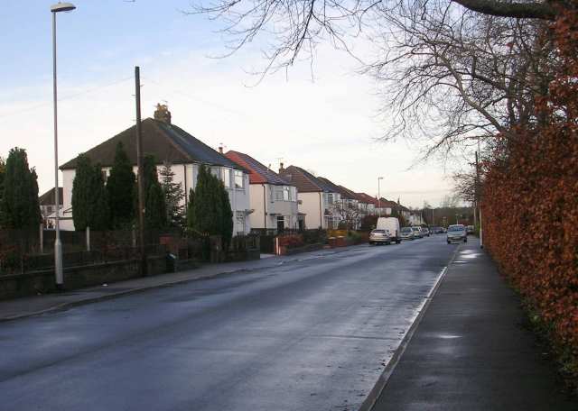
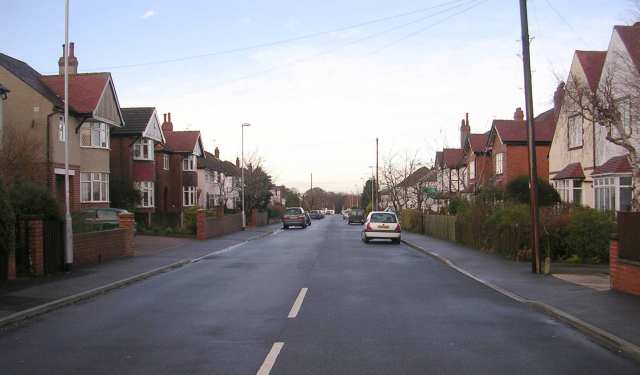
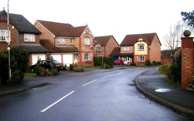
Ireland Wood is a residential area situated in the northwestern part of Leeds, West Yorkshire, England. It is part of the larger community of Adel and Wharfedale ward. The neighborhood is known for its lush greenery and abundance of forests, making it an attractive place for those seeking a tranquil living environment.

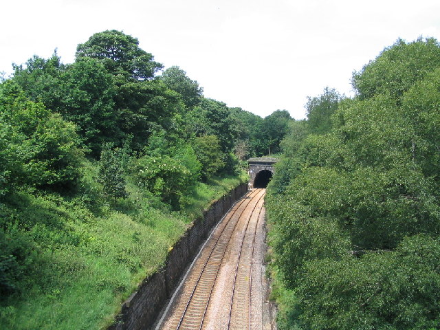
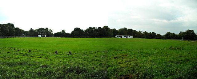
The area derives its name from the ancient forest that once covered this region. Today, remnants of this woodland can still be found in the nearby Adel Woods and Eccup Reservoir, offering residents plenty of opportunities for outdoor activities such as hiking, walking, and birdwatching.

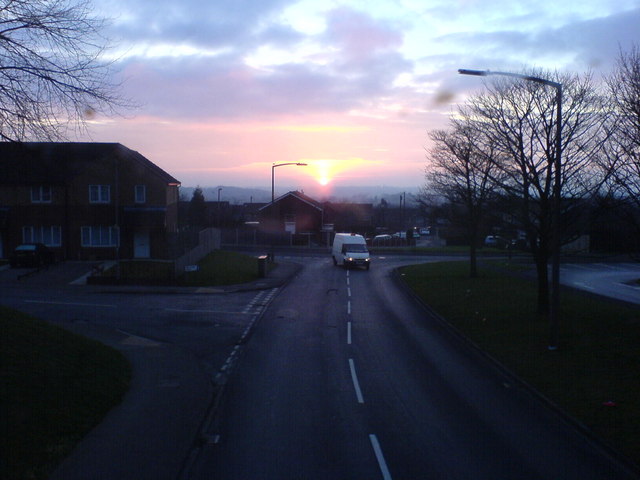
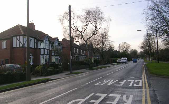
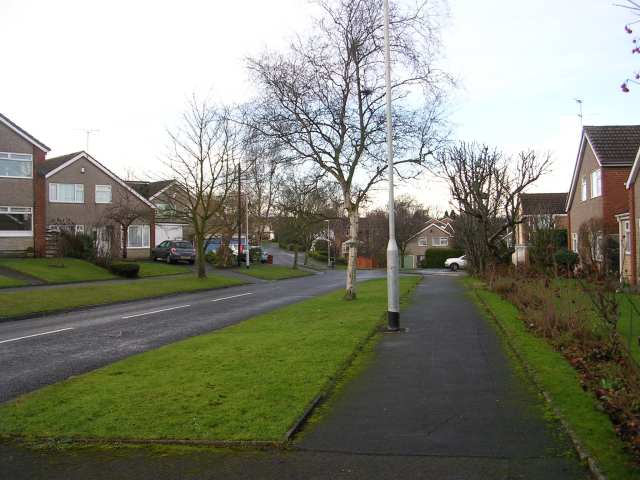
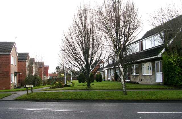
Ireland Wood is primarily a residential area, consisting of a mix of housing types including detached houses, semi-detached houses, and bungalows. The properties are predominantly family homes, with a close-knit community feel. The neighborhood boasts well-maintained streets and a peaceful atmosphere, making it an appealing place for families and professionals alike.

Despite its rural charm, Ireland Wood benefits from excellent transport links. The area is well-served by local bus services, connecting residents to nearby towns and the city center of Leeds. Additionally, the nearby Leeds Bradford Airport provides convenient access for domestic and international travel.

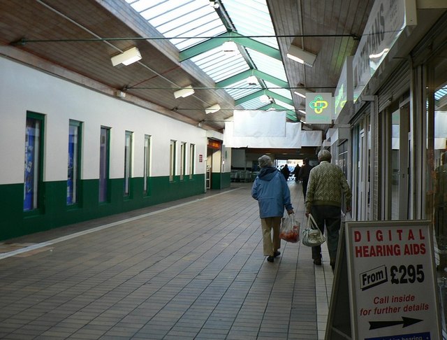
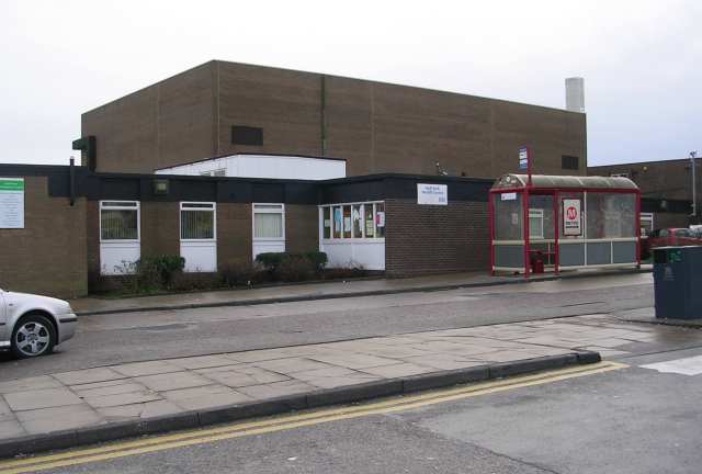
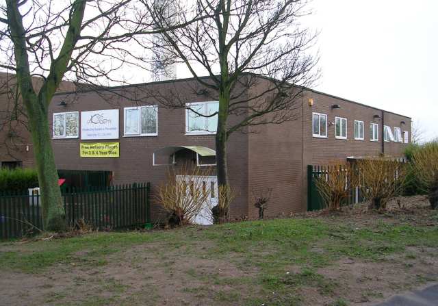
Local amenities in Ireland Wood include a small shopping center, featuring a range of shops and services, including a supermarket, pharmacy, and various eateries. The neighborhood also benefits from several nearby schools, ensuring that families have access to quality education for their children.

Overall, Ireland Wood offers a picturesque living environment with its stunning natural surroundings and convenient amenities, making it a highly desirable place to call home in Yorkshire.

If you have any feedback on the listing, please let us know in the comments section below.
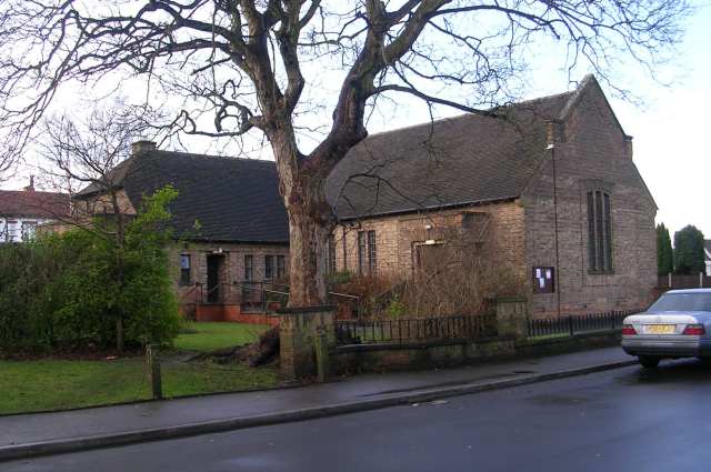
Ireland Wood Images

Images are sourced within 2km of 53.847382/-1.6134051 or Grid Reference SE2539. Thanks to Geograph Open Source API. All images are credited.

Moseley Bottom The  entrance to the railway tunnel at Moseley Bottom on the Leeds to Harrogate line
Moseley Bottom
The entrance to the railway tunnel at Moseley Bottom on the Leeds to Harrogate line
Cookridge Methodist Church, Tinshill Road, Cookridge, Leeds The church is near the junction of Tinshill Road and Otley Old Road. This is the view from Tinshill Road looking south-east
Cookridge Methodist Church, Tinshill Road, Cookridge, Leeds
The church is near the junction of Tinshill Road and Otley Old Road. This is the view from Tinshill Road looking south-east
Adel Methodist Church, Holt Lane, Adel, Leeds
Sunrise at Holt Park. Even urban sprawl can have its charm given the right light.
Sunrise at Holt Park.
Even urban sprawl can have its charm given the right light.
Cricket Pitch
Cricket Pitch
Holt Park District Centre The central aisle of the centre is between the Leisure Centre on the left, and shops on the right. It was never beautiful, but it used to have more activity than it does now. I remember 20 years ago, there was a newsagents, a greengrocers, a travel agent and a large chemists shop. Now ASDA occupies most of the shops, and the 2 shops remaining down this end are the opticians and a smaller chemist.
Redevelopment is planned, but I don't know how soon.
Holt Park District Centre
The central aisle of the centre is between the Leisure Centre on the left, and shops on the right. It was never beautiful, but it used to have more activity than it does now. I remember 20 years ago, there was a newsagents, a greengrocers, a travel agent and a large chemists shop. Now ASDA occupies most of the shops, and the 2 shops remaining down this end are the opticians and a smaller chemist. Redevelopment is planned, but I don't know how soon.
The Lawnswood Arms - Otley Road
Gainsbro Avenue
Gainsbro Avenue
Adel Methodist Church Hall - Gainsbro Avenue
Adel Methodist Church - Holt Lane
Gainsbro Drive - Holt Lane
Chestnut Drive - Holt Lane
Holt Park Approach
Holt Park Approach
Holt Park Health Centre
High Field Surgery - Holt Park
Kids Academy - Holt Park
Show me another place!

Ireland Wood is located at Grid Ref: SE2539 (Lat: 53.847382, Lng: -1.6134051)

Division: West Riding

Unitary Authority: Leeds

Police Authority: West Yorkshire

What 3 Words

///common.jaws.loose. Near Horsforth, West Yorkshire

Related Wikis

Tinshill

Tinshill (pronounced Tins-hill) is a district of Leeds, 4 miles (7 km) north of Leeds city centre, West Yorkshire, England. It was the Danes in the 9th...
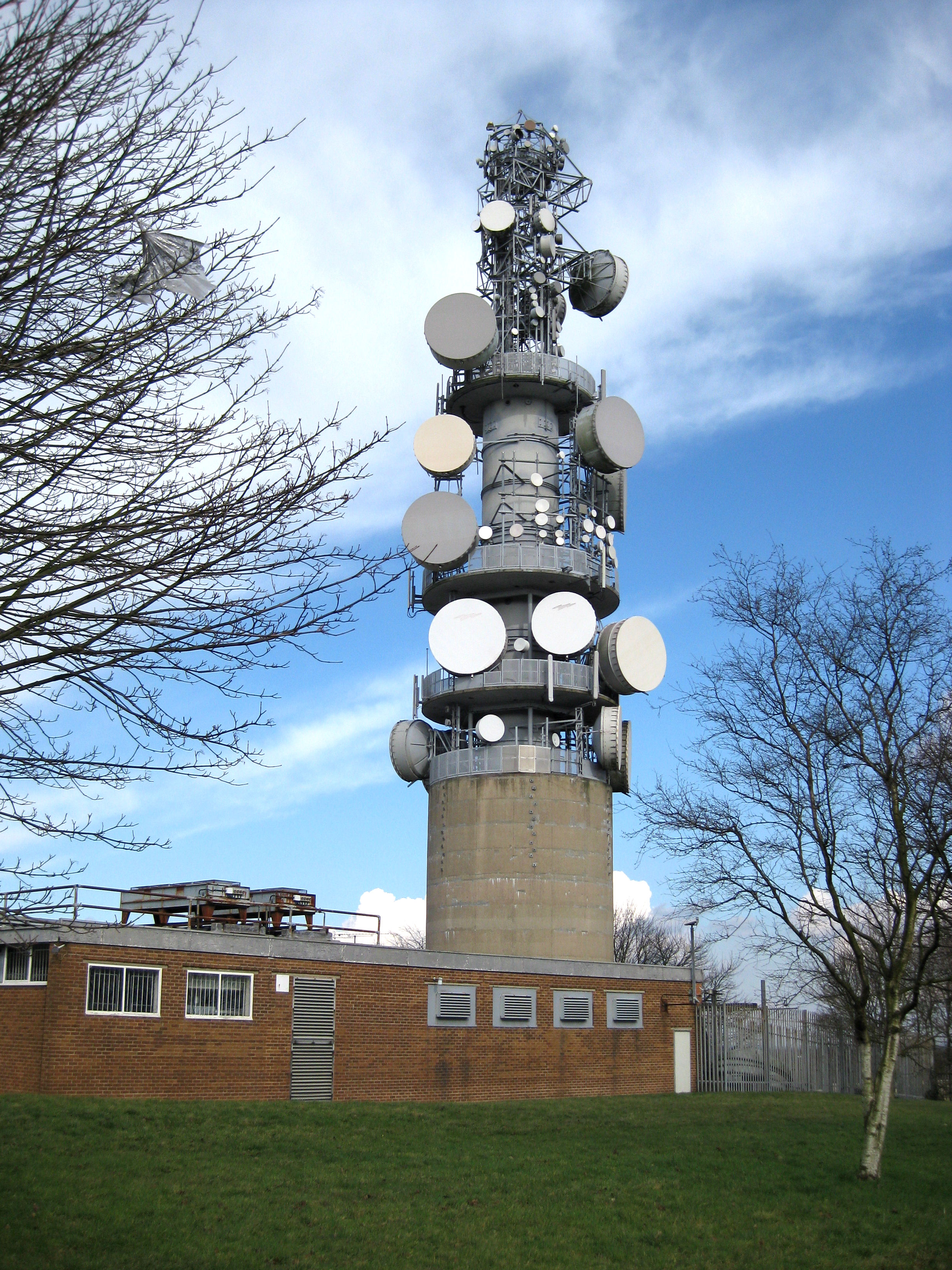
Tinshill BT Tower

The Tinshill BT Tower (also known locally as Cookridge Tower, or Tinshall BT Radio Station) is a 60.96 metres ( 200 ft) tall telecommunication tower located...

Ireland Wood

Ireland Wood is a small residential area in north-west Leeds, West Yorkshire, England named after the Woodland Trust wood which it contains. It is approximately...
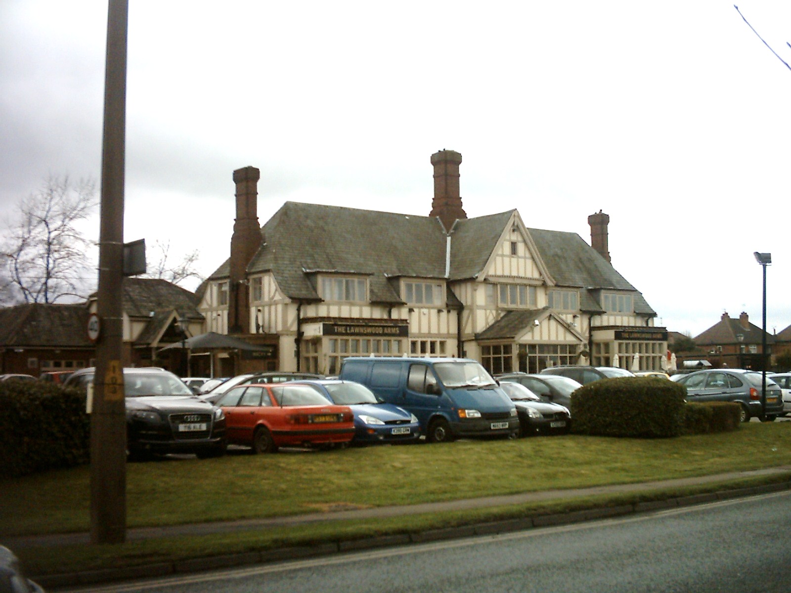
Lawnswood

Lawnswood is a small suburb in the north west of the city of Leeds in West Yorkshire, England. As such it is north north east of the West Yorkshire Urban...

Related Videos

Bramley, Leeds Morning Walk - 4K-HDR 60fps / Walking Tour | 列斯 Bramley 早晨漫行 / 導賞行

This walking tour of Bramley, Leeds was filmed on Saturday June 25st, 2022 starting at 11:40 AM at Haley's Yard. No part of this ...

Walking Around Newlay Bridge / Riverside Walk Horsforth October 2020

Join me as I take a short stroll through Horsforth and explore the Newlay Bridge area! New video everyday 8pm GMT! Follow me ...

Solo Walking Kirkstall Abbey in Leeds, England

In this video, I am solo walking around Kirkstall Abbey, which is a ruined Cistercian monastery in Kirkstall, north-west of Leeds city ...

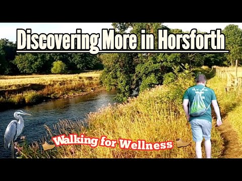
A Walk Around Beautiful Horsforth #walking#countryside#rivers#mentalhealth#horsforth

Welcome back everyone. In this video I take a walk down by the river near Horsforth then across country and up by Cragg Wood.

Nearby Amenities

Located within 500m of 53.847382,-1.6134051
Tinshill
Is In: Leeds, West Yorkshire, United Kingdom
Place: suburb
Wikidata: Q7808458
Wikipedia: en:Tinshill
Lat/Long: 53.8454604/-1.6189127
Bus Stop
Otley Old Road Hospital Lane
Bench: yes
Bus: yes
Local Ref: 45010753
Naptan AtcoCode: 450010753
Naptan Bearing: W
Naptan CommonName: Otley Old Road Hospital Lane
Naptan Crossing: Hospital Lane
Naptan Indicator: Stop 45010753
Naptan PlusbusZoneRef: LEEDS
Naptan ShortCommonName: Hosipal Lane
Naptan Street: Otley Old Road
Naptan Verified: no
Public Transport: platform
Shelter: yes
Source: naptan_import
Lat/Long: 53.8504659/-1.6081654
Bus Stop
Silk Mill Way Iveson Drive
Bus: yes
Local Ref: 45011512
Naptan AtcoCode: 450011512
Naptan Bearing: E
Naptan CommonName: Silk Mill Way Iveson Drive
Naptan Crossing: Iveson Drive
Naptan Indicator: Stop 45011512
Naptan PlusbusZoneRef: LEEDS
Naptan ShortCommonName: Iveson Drive
Naptan Street: Silk Mill Way
Naptan Verified: no
Public Transport: platform
Source: naptan_import
Lat/Long: 53.8444114/-1.6109655
Bus Stop
Silk Mill Way Birchtree Way
Bus: yes
Local Ref: 45011517
Naptan AtcoCode: 450011517
Naptan Bearing: E
Naptan CommonName: Silk Mill Way Birchtree Way
Naptan Crossing: Birchtree Way
Naptan Indicator: Stop 45011517
Naptan PlusbusZoneRef: LEEDS
Naptan ShortCommonName: Birchtree Way
Naptan Street: Silk Mill Way
Naptan Verified: no
Public Transport: platform
Source: naptan_import
Lat/Long: 53.8444236/-1.6147348
Bus Stop
Silk Mill Way Bedford Mount
Bus: yes
Local Ref: 45011518
Naptan AtcoCode: 450011518
Naptan Bearing: NW
Naptan CommonName: Silk Mill Way Bedford Mount
Naptan Crossing: Bedford Mount
Naptan Indicator: Stop 45011518
Naptan PlusbusZoneRef: LEEDS
Naptan ShortCommonName: Bedford Mount
Naptan Street: Silk Mill Way
Naptan Verified: no
Public Transport: platform
Source: naptan_import
Lat/Long: 53.8459827/-1.6188548
Bus Stop
Silk Mill Way Birchtree Way
Bus: yes
Local Ref: 45011519
Naptan AtcoCode: 450011519
Naptan Bearing: W
Naptan CommonName: Silk Mill Way Birchtree Way
Naptan Crossing: Birchtree Way
Naptan Indicator: Stop 45011519
Naptan Landmark: Unknown
Naptan PlusbusZoneRef: LEEDS
Naptan ShortCommonName: Birchtree Way
Naptan Street: Silk Mill Way
Naptan Verified: no
Public Transport: platform
Source: naptan_import
Lat/Long: 53.8443988/-1.615419
Bus Stop
Silk Mill Way Silk Mill Approach
Bus: yes
Local Ref: 45011520
Naptan AtcoCode: 450011520
Naptan Bearing: SE
Naptan CommonName: Silk Mill Way Silk Mill Approach
Naptan Crossing: Silk Mill Approach
Naptan Indicator: Stop 45011520
Naptan PlusbusZoneRef: LEEDS
Naptan ShortCommonName: Silk Mill Approach
Naptan Street: Silk Mill Way
Naptan Verified: no
Public Transport: platform
Shelter: yes
Source: naptan_import
Lat/Long: 53.8452054/-1.6175091
Bus Stop
Silk Mill Way Iveson Drive
Bus: yes
Local Ref: 45011521
Naptan AtcoCode: 450011521
Naptan Bearing: W
Naptan CommonName: Silk Mill Way Iveson Drive
Naptan Crossing: Iveson Drive
Naptan Indicator: Stop 45011521
Naptan PlusbusZoneRef: LEEDS
Naptan ShortCommonName: Iveson Drive
Naptan Street: Silk Mill Way
Naptan Verified: no
Public Transport: platform
Source: naptan_import
Lat/Long: 53.8441879/-1.6113476
Bus Stop
Silk Mill Way Silk Mill Approach
Bus: yes
Local Ref: 45011522
Naptan AtcoCode: 450011522
Naptan Bearing: NW
Naptan CommonName: Silk Mill Way Silk Mill Approach
Naptan Crossing: Silk Mill Approach
Naptan Indicator: Stop 45011522
Naptan PlusbusZoneRef: LEEDS
Naptan ShortCommonName: Silk Mill Approach
Naptan Street: Silk Mill Way
Naptan Verified: no
Public Transport: platform
Source: naptan_import
Lat/Long: 53.8453684/-1.6178876
Bus Stop
Silk Mill Drive Silk Mill Avenue
Bus: yes
Local Ref: 45011523
Naptan AtcoCode: 450011523
Naptan Bearing: SW
Naptan CommonName: Silk Mill Drive Silk Mill Avenue
Naptan Crossing: Silk Mill Avenue
Naptan Indicator: Stop 45011523
Naptan PlusbusZoneRef: LEEDS
Naptan ShortCommonName: Silk Mill Avenue
Naptan Street: Silk Mill Drive
Naptan Verified: no
Public Transport: platform
Shelter: no
Source: naptan_import
Lat/Long: 53.8466317/-1.6194265
Bus Stop
Silk Mill Way Bedford Mount
Bus: yes
Local Ref: 45011525
Naptan AtcoCode: 450011525
Naptan Bearing: SE
Naptan CommonName: Silk Mill Way Bedford Mount
Naptan Crossing: Bedford Mount
Naptan Indicator: Stop 45011525
Naptan PlusbusZoneRef: LEEDS
Naptan ShortCommonName: Bedford Mount
Naptan Street: Silk Mill Way
Naptan Verified: no
Public Transport: platform
Source: naptan_import
Lat/Long: 53.8461265/-1.6188687
Bus Stop
Silk Mill Drive Silk Mill Avenue
Bus: yes
Local Ref: 45011526
Naptan AtcoCode: 450011526
Naptan Bearing: N
Naptan CommonName: Silk Mill Drive Silk Mill Avenue
Naptan Crossing: Silk Mill Avenue
Naptan Indicator: Stop 45011526
Naptan PlusbusZoneRef: LEEDS
Naptan ShortCommonName: Silk Mill Avenue
Naptan Street: Silk Mill Drive
Naptan Verified: no
Public Transport: platform
Source: naptan_import
Lat/Long: 53.8470298/-1.6193472
Bus Stop
Tinshill Lane Tinshill Avenue
Bench: yes
Bin: no
Bus: yes
Lit: yes
Local Ref: 45011528
Naptan AtcoCode: 450011528
Naptan Bearing: NE
Naptan CommonName: Tinshill Lane Tinshill Avenue
Naptan Crossing: Tinshill Avenue
Naptan Indicator: Stop 45011528
Naptan PlusbusZoneRef: LEEDS
Naptan ShortCommonName: Tinshill Avenue
Naptan Street: Tinshill Lane
Naptan Verified: no
Public Transport: platform
Shelter: yes
Source: naptan_import
Tactile Paving: no
Lat/Long: 53.8511165/-1.6175098
Bus Stop
Silk Mill Drive Woodnook Drive
Bus: yes
Local Ref: 45011529
Naptan AtcoCode: 450011529
Naptan Bearing: NW
Naptan CommonName: Silk Mill Drive Woodnook Drive
Naptan Crossing: Woodnook Drive
Naptan Indicator: Stop 45011529
Naptan Landmark: Post Office
Naptan PlusbusZoneRef: LEEDS
Naptan ShortCommonName: Woodnook Drive
Naptan Street: Silk Mill Drive
Naptan Verified: no
Public Transport: platform
Shelter: yes
Source: naptan_import
Lat/Long: 53.8488392/-1.6202285
Bus Stop
Tinshill Lane Tinshill Avenue
Bench: no
Bin: no
Bus: yes
Lit: yes
Local Ref: 45011531
Naptan AtcoCode: 450011531
Naptan Bearing: SW
Naptan CommonName: Tinshill Lane Tinshill Avenue
Naptan Crossing: Tinshill Avenue
Naptan Indicator: Stop 45011531
Naptan PlusbusZoneRef: LEEDS
Naptan ShortCommonName: Tinshill Avenue
Naptan Street: Tinshill Lane
Naptan Verified: no
Public Transport: platform
Shelter: no
Source: naptan_import
Tactile Paving: no
Lat/Long: 53.8508777/-1.6177462
Bus Stop
Iveson Approach Iveson Drive
Bus: yes
Local Ref: 45011541
Naptan AtcoCode: 450011541
Naptan Bearing: SW
Naptan CommonName: Iveson Approach Iveson Drive
Naptan Crossing: Iveson Drive
Naptan Indicator: Stop 45011541
Naptan PlusbusZoneRef: LEEDS
Naptan ShortCommonName: Iveson Drive
Naptan Street: Iveson Approach
Naptan Verified: no
Public Transport: platform
Source: naptan_import
Lat/Long: 53.8437308/-1.6089656
Bus Stop
Iveson Approach Iveson Crescent
Bus: yes
Local Ref: 45011544
Naptan AtcoCode: 450011544
Naptan Bearing: NE
Naptan CommonName: Iveson Approach Iveson Crescent
Naptan Crossing: Iveson Crescent
Naptan Indicator: Stop 45011544
Naptan PlusbusZoneRef: LEEDS
Naptan ShortCommonName: Iveson Crescent
Naptan Street: Iveson Approach
Naptan Verified: no
Public Transport: platform
Source: naptan_import
Lat/Long: 53.8441705/-1.6087487
Bus Stop
Iveson Approach Iveson Grove
Bench: yes
Bin: no
Bus: yes
Lit: yes
Local Ref: 45011546
Naptan AtcoCode: 450011546
Naptan Bearing: SW
Naptan CommonName: Iveson Approach Iveson Grove
Naptan Crossing: Iverson Grove
Naptan Indicator: Stop 45011546
Naptan Landmark: Sorting Office
Naptan PlusbusZoneRef: LEEDS
Naptan ShortCommonName: Iverson Grove
Naptan Street: Iveson Approach
Naptan Verified: no
Public Transport: platform
Shelter: yes
Source: naptan_import
Tactile Paving: no
Lat/Long: 53.8457983/-1.6063016
Turning Circle
Lat/Long: 53.8515312/-1.6123261
Turning Circle
Lat/Long: 53.8487119/-1.6175009
Turning Circle
Lat/Long: 53.8487915/-1.6153471
Turning Circle
Lat/Long: 53.849549/-1.6092537
Turning Circle
Lat/Long: 53.8501553/-1.6168399
Turning Circle
Lat/Long: 53.8441714/-1.6161503
Turning Circle
Lat/Long: 53.843927/-1.6138137
Turning Circle
Lat/Long: 53.8494905/-1.6074527
Turning Circle
Lat/Long: 53.8480517/-1.6094903
Turning Circle
Lat/Long: 53.8493185/-1.608361
Parking
Parking: surface
Lat/Long: 53.8460526/-1.6078675
Cookridge Hospital (CLOSED)
Addr City: Leeds
Addr Postcode: LS16 6QB
Addr Street: Hospital Lane
Description: Former hospital. Opened 1869. Closed 2008.
Lat/Long: 53.8455651/-1.6140559
Turning Circle
Lat/Long: 53.849656/-1.6089426
Post Box
Brand: Royal Mail
Brand Wikidata: Q638098
Brand Wikipedia: en:Royal Mail
Collection Times: Mo-Fr 17:00; Sa 10:30
Operator: Royal Mail
Operator Wikidata: Q638098
Post Box Type: pillar
Ref: LS16 902
Royal Cypher: GVIR
Royal Cypher Wikidata: Q33102169
Lat/Long: 53.8453474/-1.6073953
Post Box
Brand: Royal Mail
Brand Wikidata: Q638098
Brand Wikipedia: en:Royal Mail
Operator: Royal Mail
Operator Wikidata: Q638098
Post Box Type: pillar
Ref: LS16 950
Royal Cypher: EIIR
Royal Cypher Wikidata: Q33102113
Lat/Long: 53.848696/-1.6199029
Post Box
Brand: Royal Mail
Brand Wikidata: Q638098
Brand Wikipedia: en:Royal Mail
Operator: Royal Mail
Operator Wikidata: Q638098
Post Box Type: pillar
Ref: LS16 24
Royal Cypher: GVIR
Royal Cypher Wikidata: Q33102169
Lat/Long: 53.8503032/-1.6107798
Post Box
Brand: Royal Mail
Brand Wikidata: Q638098
Brand Wikipedia: en:Royal Mail
Collection Times: Mo-Fr 09:00; Sa 07:00
Operator: Royal Mail
Operator Wikidata: Q638098
Post Box Type: pillar
Ref: LS16 921
Royal Cypher: EIIR
Royal Cypher Wikidata: Q33102113
Lat/Long: 53.8508926/-1.618017
Silk Mill Drive Woodnook Drive
Bus: yes
Public Transport: stop_position
Lat/Long: 53.8489126/-1.6202061
Silk Mill Drive Silk Mill Avenue
Bus: yes
Public Transport: stop_position
Lat/Long: 53.8466512/-1.6194817
Crossing
Lat/Long: 53.8461044/-1.6189397
Turning Circle
Lat/Long: 53.8435082/-1.6141775
Turning Circle
Lat/Long: 53.8495012/-1.6138325
Turning Circle
Lat/Long: 53.8501943/-1.6143904
Turning Circle
Lat/Long: 53.8498982/-1.6129801
Turning Circle
Lat/Long: 53.8501127/-1.6087422
Turning Circle
Lat/Long: 53.8492893/-1.6112485
Lemondrops Convenience Store
Addr City: Leeds
Addr Housenumber: 4
Addr Postcode: LS16 6DX
Addr Street: Silk Mill Drive
Addr Suburb: Cookridge
Fhrs Id: 1223678
Shop: convenience
Lat/Long: 53.8486957/-1.6203768
Turning Circle
Lat/Long: 53.8501184/-1.6077791
Turning Loop
Lat/Long: 53.8450193/-1.6130908
Waste Basket
Collection Times: Mo-Fr
Ref UK Leedscc Bin: 1548
Lat/Long: 53.845916/-1.606338
Waste Basket
Collection Times: Mo-Fr
Ref UK Leedscc Bin: 1551
Lat/Long: 53.843974/-1.608625
Waste Basket
Collection Times: Mo-Fr
Ref UK Leedscc Bin: 1549
Lat/Long: 53.844176/-1.608474
Waste Basket
Collection Times: Mo-Fr
Ref UK Leedscc Bin: 1550
Lat/Long: 53.843974/-1.608711
Waste Basket
Collection Times: Mo-Fr
Ref UK Leedscc Bin: 1561
Lat/Long: 53.843151/-1.614969
Waste Basket
Collection Times: Mo-Fr
Ref UK Leedscc Bin: 2897
Lat/Long: 53.844594/-1.616576
Waste Basket
Collection Times: Mo-Fr
Ref UK Leedscc Bin: 1552
Lat/Long: 53.847529/-1.608015
Waste Basket
Collection Times: Mo-Fr
Ref UK Leedscc Bin: 2898
Lat/Long: 53.845701/-1.618354
Waste Basket
Collection Times: Mo-Fr
Ref UK Leedscc Bin: 2895
Lat/Long: 53.844262/-1.61155
Waste Basket
Collection Times: Mo-Fr
Ref UK Leedscc Bin: 2896
Lat/Long: 53.84414/-1.613113
Waste Basket
Collection Times: Mo-Fr
Ref UK Leedscc Bin: 2893
Lat/Long: 53.847048/-1.620054
Waste Basket
Collection Times: Mo-Fr
Ref UK Leedscc Bin: 2894
Lat/Long: 53.848617/-1.619762
Waste Basket
Collection Times: Mo-Fr
Ref UK Leedscc Bin: 202
Lat/Long: 53.84897/-1.618221
Waste Basket
Collection Times: Mo-Fr
Ref UK Leedscc Bin: 2408
Lat/Long: 53.851084/-1.610564
Waste Basket
Collection Times: Mo-Fr
Ref UK Leedscc Bin: 198
Lat/Long: 53.849166/-1.617892
Waste Basket
Collection Times: Mo-Fr
Ref UK Leedscc Bin: 201
Lat/Long: 53.849239/-1.617691
Fast Food
Four Seasons Pizzeria
Addr City: Leeds
Addr Housenumber: 12
Addr Postcode: LS16 6DX
Addr Street: Silk Mill Drive
Addr Suburb: Cookridge
Cuisine: pizza
Fhrs Id: 1225965
Takeaway: yes
Lat/Long: 53.8485679/-1.6200247
Parking
Lat/Long: 53.8484741/-1.6186938
Barrier: bollard
Bollard: fixed
Lat/Long: 53.8514041/-1.6160239
Barrier: bollard
Bollard: fixed
Lat/Long: 53.8514849/-1.6158848
Generator Method: photovoltaic
Generator Output Electricity: yes
Generator Source: solar
Generator Type: solar_photovoltaic_panel
Power: generator
Lat/Long: 53.8448686/-1.61394
Otley Old Road Hospital Lane
Bus: yes
Public Transport: stop_position
Lat/Long: 53.8505169/-1.6081456
Tinshill Lane Tinshill Avenue
Bus: yes
Public Transport: stop_position
Lat/Long: 53.8510843/-1.6174432
Tinshill Lane Tinshill Avenue
Bus: yes
Public Transport: stop_position
Lat/Long: 53.8508972/-1.6177703
Generator Method: photovoltaic
Generator Output Electricity: yes
Generator Source: solar
Generator Type: solar_photovoltaic_panel
Power: generator
Lat/Long: 53.8478175/-1.618747
Silk Mill Drive Silk Mill Avenue
Bus: yes
Public Transport: stop_position
Lat/Long: 53.8470182/-1.6192614
Generator Method: photovoltaic
Generator Output Electricity: yes
Generator Source: solar
Generator Type: solar_photovoltaic_panel
Power: generator
Lat/Long: 53.8493028/-1.6182216
Generator Method: photovoltaic
Generator Output Electricity: yes
Generator Source: solar
Generator Type: solar_photovoltaic_panel
Power: generator
Lat/Long: 53.8499594/-1.6168462
Generator Method: photovoltaic
Generator Output Electricity: yes
Generator Source: solar
Generator Type: solar_photovoltaic_panel
Power: generator
Lat/Long: 53.8505876/-1.617772
Generator Method: photovoltaic
Generator Output Electricity: yes
Generator Source: solar
Generator Type: solar_photovoltaic_panel
Power: generator
Lat/Long: 53.8505486/-1.6161248
Low Farm
Place: neighbourhood
Lat/Long: 53.8503826/-1.6083413
The data included in this document is from www.openstreetmap.org. The data is made available under ODbL.

Have you been to Ireland Wood?

Leave your review of Ireland Wood below (or comments, questions and feedback).