Timsbury

Settlement in Somerset

England

Timsbury

High Littleton : Grassy Field & Gate A field seen from Bungay's Hill.
High Littleton : Grassy Field & Gate Credit: Lewis Clarke

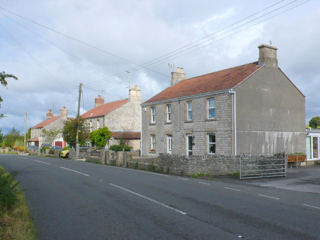
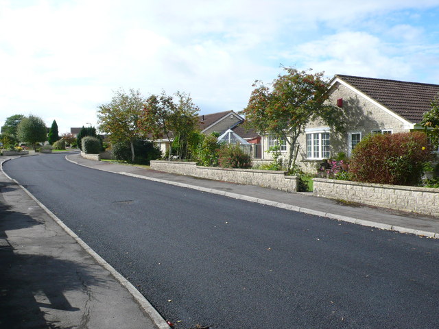
Timsbury is a small village located in the county of Somerset, England. Situated about 10 miles southwest of Bath and 8 miles south of Bristol, it falls within the Bath and North East Somerset unitary authority. With a population of around 2,500 people, Timsbury has a close-knit community and offers a tranquil and picturesque setting.

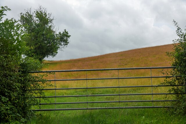
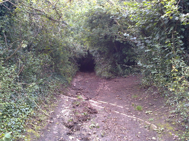
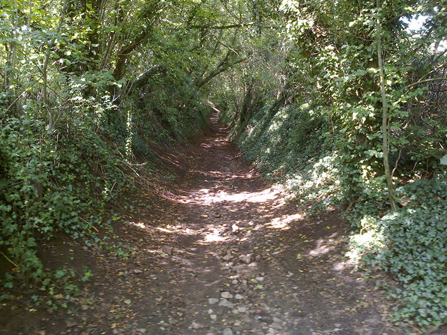
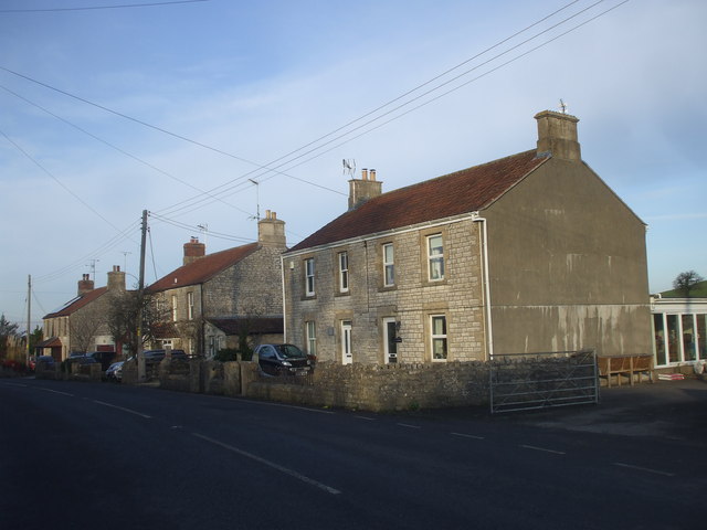
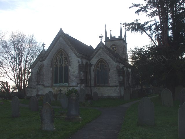
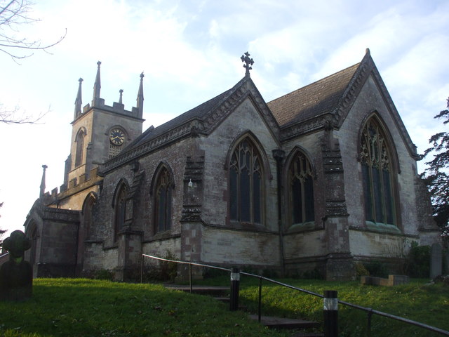
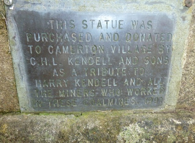
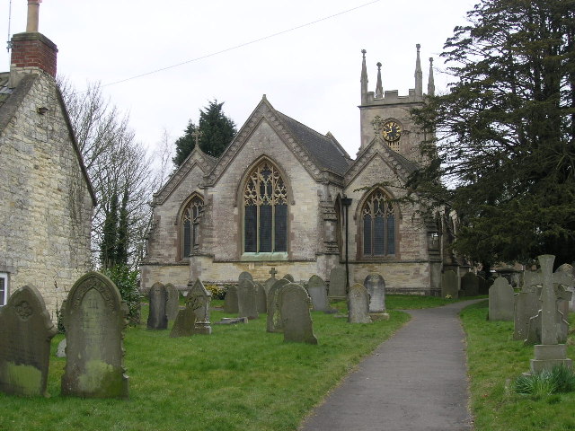
The village is nestled in the Chew Valley, surrounded by rolling hills and green countryside. It has a rich history dating back to Saxon times, and several historic buildings can still be found, including the Grade II listed Holy Trinity Church, which dates back to the 13th century.

Timsbury is well-served by amenities, including a post office, a convenience store, and a primary school, making it an ideal place for families. The village also boasts a vibrant social scene, with a local pub, community center, and various clubs and societies.

Nature enthusiasts will appreciate the proximity to the Mendip Hills Area of Outstanding Natural Beauty, offering opportunities for hiking, biking, and exploring the beautiful landscapes. Additionally, the nearby Chew Valley Lake provides a haven for birdwatching and water sports.

Transport links in Timsbury are convenient, with regular bus services connecting the village to nearby towns and cities. The village also benefits from its close proximity to the A37 and A367 roads, providing easy access to Bristol, Bath, and beyond.

Overall, Timsbury offers a charming rural lifestyle, combined with access to nearby urban centers, making it an appealing place to live for those seeking a peaceful and scenic location within easy reach of amenities.

If you have any feedback on the listing, please let us know in the comments section below.

Timsbury Images

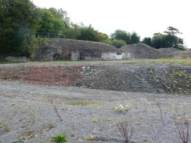
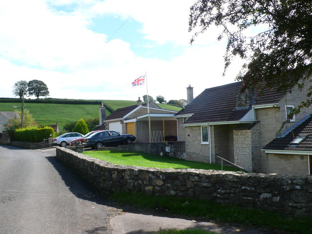
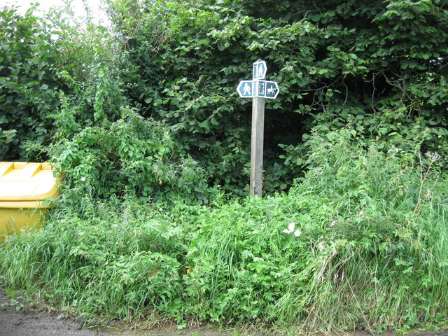
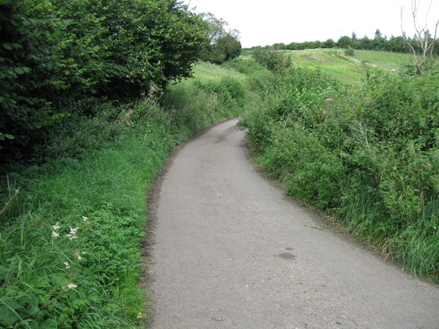
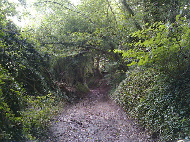
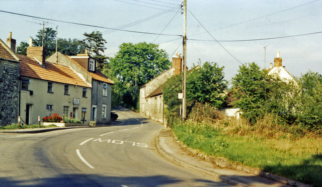
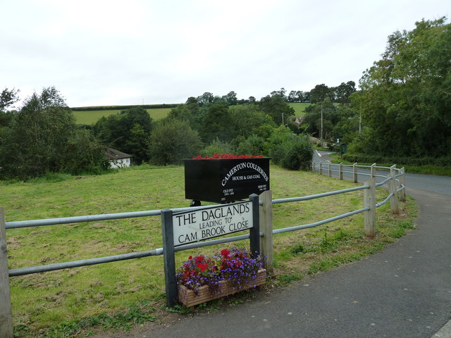
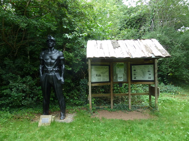
Images are sourced within 2km of 51.326484/-2.4762999 or Grid Reference ST6658. Thanks to Geograph Open Source API. All images are credited.

High Littleton : Grassy Field & Gate A field seen from Bungay's Hill.
High Littleton : Grassy Field & Gate
A field seen from Bungay's Hill.
Mill Lane Looking downhill from close to where the footpath crosses the byway
Mill Lane
Looking downhill from close to where the footpath crosses the byway
Mill Lane BOAT Looking uphill at the point where the footpath crosses the byway
Mill Lane BOAT
Looking uphill at the point where the footpath crosses the byway
Houses at the point where Timsbury Rd is about to become Bloomfield Rd, near Bloomfield
St Mary's Church, Timsbury
Houses on Bloomfield Road. These attractive stone built semi detached houses are on the east side of Bloomfield Rd between Farmborough and Timsbury. Bloomfield is the northern part of Timsbury.
Houses on Bloomfield Road.
These attractive stone built semi detached houses are on the east side of Bloomfield Rd between Farmborough and Timsbury. Bloomfield is the northern part of Timsbury.
Somerset Folly Somerset Folly is a twisting residential street consisting mainly of rather boring grey bungalows. It runs west from The Avenue to St Mary's Close.
Somerset Folly
Somerset Folly is a twisting residential street consisting mainly of rather boring grey bungalows. It runs west from The Avenue to St Mary's Close.
Site of Demolished Works This is the site of the former works of the Wheeler Reconstructed Stone Company which produces artificial stone from a mix of cement and crushed Bath stone.This is used in new build house projects as a cheap replacement for natural stone. They appear to have relocated to Marsh Lane, Temple Cloud but it is uncertain if they are still manufacturing. In this image it can be seen that on the remaining site there appears to be evidence of an old kiln , perhaps a lime kiln.
Site of Demolished Works
This is the site of the former works of the Wheeler Reconstructed Stone Company which produces artificial stone from a mix of cement and crushed Bath stone.This is used in new build house projects as a cheap replacement for natural stone. They appear to have relocated to Marsh Lane, Temple Cloud but it is uncertain if they are still manufacturing. In this image it can be seen that on the remaining site there appears to be evidence of an old kiln , perhaps a lime kiln.
Houses on Priorshill These houses are at the bottom of Priorshill where it joins Loves Hill. Priorshill rises up to the hamlet of Tyning
Houses on Priorshill
These houses are at the bottom of Priorshill where it joins Loves Hill. Priorshill rises up to the hamlet of Tyning
Bridleway sign on Parkway Lane Although the tarmac continues to Wallmead Cottage, the public road ends here for motor vehicles unless you have resident's access rights.  Parkway Lane is a bridleway from this point northwards.  A public footpath also crosses the road here and Newton Brook passes under it.
Bridleway sign on Parkway Lane
Although the tarmac continues to Wallmead Cottage, the public road ends here for motor vehicles unless you have resident's access rights. Parkway Lane is a bridleway from this point northwards. A public footpath also crosses the road here and Newton Brook passes under it.
Parkway Lane Tarmac surface all the way to the end of the lane.
Parkway Lane
Tarmac surface all the way to the end of the lane.
Mill Lane Looking downhill just before the byway becomes a sunken lane in a deep gulley.
Mill Lane
Looking downhill just before the byway becomes a sunken lane in a deep gulley.
Camerton: site of station, 1987 View northward, across the course of the GWR Limpley Stoke (right) - Hallatrow (left) branch, which was closed way back on 21/9/25 - after only 15 years, to goods from 15/2/51. No trace seems to be left.
Camerton: site of station, 1987
View northward, across the course of the GWR Limpley Stoke (right) - Hallatrow (left) branch, which was closed way back on 21/9/25 - after only 15 years, to goods from 15/2/51. No trace seems to be left.
Recent addition at Camerton It is dated 2012.
Recent addition at Camerton
It is dated 2012.
Statue of a miner at Camerton
Plaque below the statue of a miner at Camerton See <a title="https://www.geograph.org.uk/photo/3134730" href="https://www.geograph.org.uk/photo/3134730">Link</a>
Plaque below the statue of a miner at Camerton
See Link
Looking from Red Hill across to Canal View
Show me another place!

Timsbury is located at Grid Ref: ST6658 (Lat: 51.326484, Lng: -2.4762999)

Unitary Authority: Bath and North East Somerset

Police Authority: Avon and Somerset

What 3 Words

///galaxies.cork.harder. Near Timsbury, Somerset

Related Wikis

Timsbury, Somerset

Timsbury is a village and civil parish in England, in the Bath and North East Somerset unitary authority of the county of Somerset. It lies 8 miles (13...

Church of St Mary The Virgin, Timsbury

The Anglican Church of St Mary The Virgin in Timsbury within the English county of Somerset is a Grade II* listed building.An old church on the site had...

Radford and Timsbury Halt railway station

Radford and Timsbury Halt railway station was on the Camerton branch of the Great Western Railway in Somerset, England. It was in use from 1910 until 1915...

Tunley Camp

Tunley Camp is an vallate Iron Age hill fort situated approximately 0.8 miles (1.3 km) north-east from the small village of Camerton in the Bath and North...

Nearby Amenities

Located within 500m of 51.326484,-2.4762999
Stop
Direction: forward
Lat/Long: 51.3274141/-2.4706142
Timsbury
Place: village
Wikidata: Q2254894
Wikipedia: en:Timsbury, Somerset
Lat/Long: 51.3271927/-2.4755923
Post Box
Collection Times: Mo-Fr 17:00; Sa 10:30
Operator: Royal Mail
Operator Wikidata: Q638098
Ref: BA2 39
Royal Cypher: EIIR
Royal Cypher Wikidata: Q33102113
Lat/Long: 51.3278479/-2.4727572
Turning Circle
Lat/Long: 51.32342/-2.4791838
Post Box
Collection Times: Mo-Fr 17:00; Sa 11:00
Operator: Royal Mail
Post Box Type: pillar
Ref: BA2 239
Royal Cypher: EIIR
Royal Cypher Wikidata: Q33102113
Lat/Long: 51.3262965/-2.4767957
Bus Stop
Recreation Ground
Bus: yes
Naptan AtcoCode: 0180BAC30993
Naptan Bearing: S
Naptan CommonName: North Road
Naptan Crossing: North Road
Naptan NaptanCode: bthawjt
Naptan Street: Bloomfield Road
Naptan Verified: no
Public Transport: platform
Shelter: no
Source: naptan_import
Lat/Long: 51.3292561/-2.4792906
Bus Stop
Recreation Ground
Bus: yes
Naptan AtcoCode: 0180BAC30994
Naptan Bearing: N
Naptan CommonName: North Road
Naptan Crossing: North Road
Naptan NaptanCode: bthawjm
Naptan Street: Bloomfield Road
Naptan Verified: no
Public Transport: platform
Shelter: yes
Source: naptan_import
Lat/Long: 51.3292556/-2.4794198
Bus Stop
British Legion
Naptan AtcoCode: 0180BAC31018
Naptan Bearing: SE
Naptan CommonName: British Legion
Naptan Crossing: Lippiatt Lane
Naptan NaptanCode: bthawpj
Naptan Street: Newmans Lane
Naptan Verified: no
Source: naptan_import
Lat/Long: 51.3281435/-2.476509
Bus Stop
British Legion
Naptan AtcoCode: 0180BAC31019
Naptan Bearing: W
Naptan BusStopType: CUS
Naptan CommonName: British Legion
Naptan Crossing: Newmans Lane
Naptan NaptanCode: bthawpt
Naptan Street: North Road
Naptan Verified: no
Source: naptan_import
Lat/Long: 51.3280358/-2.4764504
Bus Stop
Lansdown View
Bus: yes
Naptan AtcoCode: 0180BAC31020
Naptan Bearing: E
Naptan CommonName: Lansdown View
Naptan Crossing: Lansdown View
Naptan NaptanCode: bthawtw
Naptan Street: North Road
Naptan Verified: no
Public Transport: platform
Source: naptan_import
Lat/Long: 51.3278741/-2.4724518
Bus Stop
Homefield
Naptan AtcoCode: 0180BAC31060
Naptan Bearing: NE
Naptan CommonName: Homefield
Naptan Crossing: Homefield
Naptan NaptanCode: bthawtm
Naptan Street: South Road
Naptan Verified: no
Source: naptan_import
Lat/Long: 51.3264568/-2.4733483
Bus Stop
Guss and Crook
Bus: yes
Naptan AtcoCode: 0180BAC31062;0180BAC31061
Naptan Bearing: E;W
Naptan BusStopType: CUS
Naptan CommonName: Guss and Crook
Naptan Crossing: Church Hill;Maggs Hill
Naptan NaptanCode: bthawpd;bthawpm
Naptan Street: South Road
Naptan Verified: no
Public Transport: platform
Source: naptan_import
Lat/Long: 51.3254614/-2.4770983
Bus Stop
St Marys Cl
Naptan AtcoCode: 0180BAC31063
Naptan Bearing: N
Naptan CommonName: St Marys Cl
Naptan Crossing: St Mary's Close
Naptan NaptanCode: bthawjw
Naptan Street: The Avenue
Naptan Verified: no
Source: naptan_import
Lat/Long: 51.326946/-2.47908
Bus Stop
St Marys Cl
Naptan AtcoCode: 0180BAC31064
Naptan Bearing: E
Naptan CommonName: St Marys Cl
Naptan Crossing: The Avenue
Naptan NaptanCode: bthawma
Naptan Street: St Mary's Close
Naptan Verified: no
Shelter: no
Source: naptan_import
Lat/Long: 51.3266397/-2.478675
Bus Stop
Greenvale Close
Naptan AtcoCode: 0180BAC31065
Naptan Bearing: N
Naptan CommonName: Greenvale Close
Naptan Crossing: Greenvale Close
Naptan NaptanCode: bthawgw
Naptan Street: Greenvale Drive
Naptan Verified: no
Source: naptan_import
Lat/Long: 51.3230656/-2.4802594
Barrier: kissing_gate
Lat/Long: 51.3259808/-2.4744022
Barrier: kissing_gate
Lat/Long: 51.3251819/-2.4745126
Barrier: stile
Lat/Long: 51.3226193/-2.4727696
Barrier: stile
Lat/Long: 51.3299536/-2.4754715
Barrier: cycle_barrier
Lat/Long: 51.3302554/-2.4792603
Barrier: cycle_barrier
Lat/Long: 51.3297511/-2.4766493
Barrier: cycle_barrier
Lat/Long: 51.3253136/-2.4787464
Barrier: bollard
Lat/Long: 51.3249535/-2.4784014
Barrier: bollard
Lat/Long: 51.3265263/-2.4786092
Barrier: cycle_barrier
Lat/Long: 51.3223937/-2.4791245
Conygre
Addr Postcode: BA2 0QQ
Fhrs Id: 579115
Guest House: bed_and_breakfast
Tourism: guest_house
Website: https://www.conygrebungalow.co.uk/
Lat/Long: 51.3235262/-2.4725959
Kindergarten
Timsbury Pre-School
Addr Postcode: BA2 0JR
Addr Street: Lansdown View
Fhrs Id: 1214066
Website: https://www.timsburypreschool.org.uk/
Lat/Long: 51.3288315/-2.4723038
Club
Lunch Club
Addr City: Timsbury
Addr Housename: Conygre Hall
Addr Postcode: BA2 0JQ
Addr Street: North Road
Fhrs Id: 1030661
Lat/Long: 51.328678/-2.477143
Public Bookcase
Booth: K6
Disused Amenity: telephone
Man Made: telephone_box
Public Bookcase Type: phone_box
Lat/Long: 51.3254965/-2.4764291
Bench
Lat/Long: 51.3254915/-2.4763853
Waste Basket
Lat/Long: 51.3254918/-2.4763495
Defibrillator
Defibrillator Location: outside Conygre Hall - to left of entrance
Emergency: defibrillator
Indoor: no
Lat/Long: 51.3285853/-2.4772354
Entrance: main
Lat/Long: 51.3285952/-2.4771922
Power: pole
Lat/Long: 51.3251435/-2.4707516
Power: pole
Lat/Long: 51.3250604/-2.4721993
Power: pole
Lat/Long: 51.3249889/-2.4733761
Power: pole
Lat/Long: 51.325555/-2.4736283
Power: pole
Transformer: distribution
Lat/Long: 51.3249728/-2.4736399
Power: pole
Transformer: distribution
Lat/Long: 51.324894/-2.4745996
Generator Method: photovoltaic
Generator Output Electricity: yes
Generator Source: solar
Generator Type: solar_photovoltaic_panel
Location: roof
Power: generator
Lat/Long: 51.3266959/-2.4738764
Generator Method: photovoltaic
Generator Output Electricity: yes
Generator Source: solar
Generator Type: solar_photovoltaic_panel
Location: roof
Power: generator
Lat/Long: 51.3268695/-2.4743154
Power: pole
Lat/Long: 51.3245947/-2.4738694
Power: pole
Lat/Long: 51.3240621/-2.4735122
Power: pole
Lat/Long: 51.3243788/-2.4758495
Power: pole
Lat/Long: 51.323353/-2.4730382
Power: pole
Lat/Long: 51.322781/-2.473274
Power: substation
Lat/Long: 51.3225739/-2.4796106
Generator Method: photovoltaic
Generator Output Electricity: yes
Generator Source: solar
Generator Type: solar_photovoltaic_panel
Location: roof
Power: generator
Lat/Long: 51.3224256/-2.4786552
Generator Method: photovoltaic
Generator Output Electricity: yes
Generator Source: solar
Generator Type: solar_photovoltaic_panel
Location: roof
Power: generator
Lat/Long: 51.3228283/-2.4785271
Generator Method: photovoltaic
Generator Output Electricity: yes
Generator Source: solar
Generator Type: solar_photovoltaic_panel
Location: roof
Power: generator
Lat/Long: 51.3229033/-2.4783137
Generator Method: photovoltaic
Generator Output Electricity: yes
Generator Source: solar
Generator Type: solar_photovoltaic_panel
Location: roof
Power: generator
Lat/Long: 51.3231116/-2.4786918
Generator Method: photovoltaic
Generator Output Electricity: yes
Generator Source: solar
Generator Type: solar_photovoltaic_panel
Location: roof
Power: generator
Lat/Long: 51.3231574/-2.4795801
Generator Method: photovoltaic
Generator Output Electricity: yes
Generator Source: solar
Generator Type: solar_photovoltaic_panel
Location: roof
Power: generator
Lat/Long: 51.3232437/-2.4792691
Power: pole
Transformer: distribution
Lat/Long: 51.3238668/-2.4771723
Generator Method: photovoltaic
Generator Output Electricity: yes
Generator Source: solar
Generator Type: solar_photovoltaic_panel
Location: roof
Power: generator
Lat/Long: 51.3245215/-2.4804459
Power: substation
Lat/Long: 51.3243078/-2.4811326
Generator Method: photovoltaic
Generator Output Electricity: yes
Generator Source: solar
Generator Type: solar_photovoltaic_panel
Location: roof
Power: generator
Lat/Long: 51.3250604/-2.4814115
Generator Method: photovoltaic
Generator Output Electricity: yes
Generator Source: solar
Generator Type: solar_photovoltaic_panel
Location: roof
Power: generator
Lat/Long: 51.3256302/-2.4799511
Generator Method: photovoltaic
Generator Output Electricity: yes
Generator Source: solar
Generator Type: solar_photovoltaic_panel
Location: roof
Power: generator
Lat/Long: 51.3251052/-2.4790671
Generator Method: photovoltaic
Generator Output Electricity: yes
Generator Source: solar
Generator Type: solar_photovoltaic_panel
Location: roof
Power: generator
Lat/Long: 51.3252602/-2.4781228
Generator Method: photovoltaic
Generator Output Electricity: yes
Generator Source: solar
Generator Type: solar_photovoltaic_panel
Location: roof
Power: generator
Lat/Long: 51.3242895/-2.4788546
Generator Method: photovoltaic
Generator Output Electricity: yes
Generator Source: solar
Generator Type: solar_photovoltaic_panel
Location: roof
Power: generator
Lat/Long: 51.3242428/-2.4789993
Generator Method: photovoltaic
Generator Output Electricity: yes
Generator Source: solar
Generator Type: solar_photovoltaic_panel
Location: roof
Power: generator
Lat/Long: 51.3234717/-2.4794302
Generator Method: photovoltaic
Generator Output Electricity: yes
Generator Source: solar
Generator Type: solar_photovoltaic_panel
Location: roof
Power: generator
Lat/Long: 51.3243429/-2.4782887
Grit Bin
Colour: yellow
Material: plastic
Lat/Long: 51.3249639/-2.4783765
Waste Basket
Lat/Long: 51.3249263/-2.4784381
Power: substation
Lat/Long: 51.3252963/-2.4789799
Waste Basket
Lat/Long: 51.3251775/-2.4791822
Grit Bin
Colour: yellow
Material: plastic
Lat/Long: 51.325175/-2.4792055
Street Lamp
Lat/Long: 51.3252207/-2.4789728
Power: substation
Lat/Long: 51.3265919/-2.4762306
Waste Basket
Lat/Long: 51.3267533/-2.4764675
Generator Method: photovoltaic
Generator Output Electricity: yes
Generator Source: solar
Generator Type: solar_photovoltaic_panel
Location: roof
Power: generator
Lat/Long: 51.3261404/-2.4770437
Bench
Backrest: yes
Material: wood
Lat/Long: 51.3264789/-2.476004
Bench
Backrest: yes
Material: wood
Lat/Long: 51.3264541/-2.4759074
Waste Basket
Lat/Long: 51.326463/-2.4760731
Generator Method: photovoltaic
Generator Output Electricity: yes
Generator Source: solar
Generator Type: solar_photovoltaic_panel
Location: roof
Power: generator
Lat/Long: 51.3267596/-2.4736877
Generator Method: photovoltaic
Generator Output Electricity: yes
Generator Source: solar
Generator Type: solar_photovoltaic_panel
Location: roof
Power: generator
Lat/Long: 51.3271654/-2.4744195
Generator Method: photovoltaic
Generator Output Electricity: yes
Generator Source: solar
Generator Type: solar_photovoltaic_panel
Location: roof
Power: generator
Lat/Long: 51.3273236/-2.4734001
Club
Breakfast Champions Club
Addr Postcode: BA2 0JR
Addr Street: Lansdown View
Fhrs Id: 1575932
Lat/Long: 51.3289506/-2.471763
Give Way
Direction: backward
Lat/Long: 51.3254538/-2.4763013
Canine Craze
Addr Postcode: BA2 0LD
Addr Street: South Road
Opening Hours: Tu-We 10:00-16:00; Th 13:00-18:00; Fr 10:00-16:00; Sa 10:00-13:00
Shop: pet
Website: https://www.caninecraze-shop.com/
Lat/Long: 51.3256479/-2.4762813
Grit Bin
Colour: yellow
Material: plastic
Lat/Long: 51.3254999/-2.4764526
Bench
Lat/Long: 51.3275335/-2.4704552
Waste Basket
Lat/Long: 51.3275503/-2.4704791
Waste Basket
Lat/Long: 51.3280678/-2.4711082
Grit Bin
Access: private
Colour: yellow
Material: plastic
Lat/Long: 51.3277519/-2.4728442
Waste Basket
Lat/Long: 51.3277381/-2.472996
Waste Basket
Lat/Long: 51.3279124/-2.4724858
Advertising: board
Operator: Tabor Free Methodist Church
Support: poles
Lat/Long: 51.3277016/-2.4744752
Timsbury Service Station
Addr Street: North Road
Phone: +44 1761 470233
Service Vehicle Brakes: yes
Service Vehicle Car Repair: yes
Service Vehicle Diagnostics: yes
Service Vehicle Inspection: yes
Service Vehicle Oil Change: yes
Shop: car_repair
Lat/Long: 51.3280466/-2.4756054
Power: pole
Lat/Long: 51.3306576/-2.4745518
Power: pole
Lat/Long: 51.3297089/-2.4744403
Power: pole
Lat/Long: 51.3286187/-2.4742775
Power: pole
Transformer: distribution
Lat/Long: 51.3296614/-2.4755021
Power: pole
Lat/Long: 51.3248729/-2.4823316
Power: pole
Lat/Long: 51.3298948/-2.4805858
Power: pole
Lat/Long: 51.3292392/-2.4797562
Power: pole
Transformer: distribution
Lat/Long: 51.3288812/-2.4792878
Generator Method: photovoltaic
Generator Output Electricity: yes
Generator Source: solar
Generator Type: solar_photovoltaic_panel
Location: roof
Power: generator
Lat/Long: 51.3309203/-2.4768234
Generator Method: photovoltaic
Generator Output Electricity: yes
Generator Source: solar
Generator Type: solar_photovoltaic_panel
Location: roof
Power: generator
Lat/Long: 51.3303047/-2.4769121
Generator Method: photovoltaic
Generator Output Electricity: yes
Generator Source: solar
Generator Type: solar_photovoltaic_panel
Location: roof
Power: generator
Lat/Long: 51.3300289/-2.4757727
Generator Method: photovoltaic
Generator Output Electricity: yes
Generator Source: solar
Generator Type: solar_photovoltaic_panel
Location: roof
Power: generator
Lat/Long: 51.3300537/-2.4759828
Give Way
Direction: forward
Lat/Long: 51.3290631/-2.4793421
Give Way
Direction: backward
Lat/Long: 51.3288601/-2.4794451
Kindergarten
Timsbury Childcare
Addr Housename: Tabor Chapel
Addr Postcode: BA2 0JH
Addr Street: North Road
Fhrs Id: 998584
Lat/Long: 51.327652/-2.4746063
The data included in this document is from www.openstreetmap.org. The data is made available under ODbL.

Have you been to Timsbury?

Leave your review of Timsbury below (or comments, questions and feedback).