Timsbury

Settlement in Hampshire Test Valley

England

Timsbury

Level crossing near Kimbridge Kimbridge Lane crosses the railway between Southampton and Salisbury. The Monarch's Way long distance footpath also crosses the railway here.
Level crossing near Kimbridge Credit: Bill Boaden

Timsbury is a small village located in the Test Valley district of Hampshire, England. Situated on the eastern edge of the New Forest National Park, it is surrounded by picturesque countryside and offers a tranquil setting for its residents and visitors.

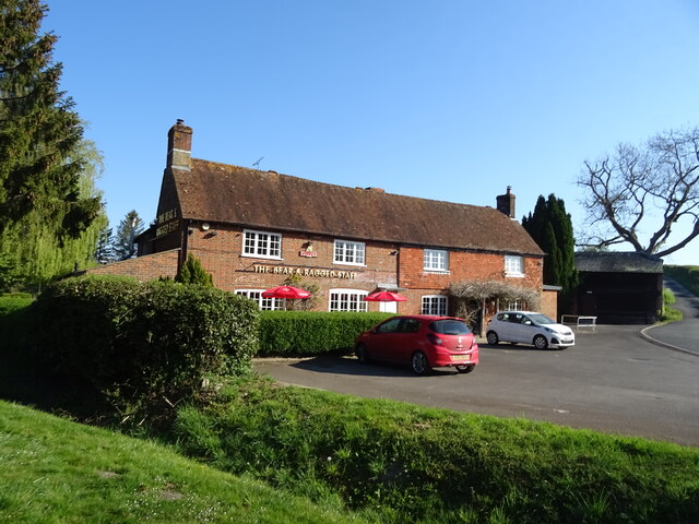
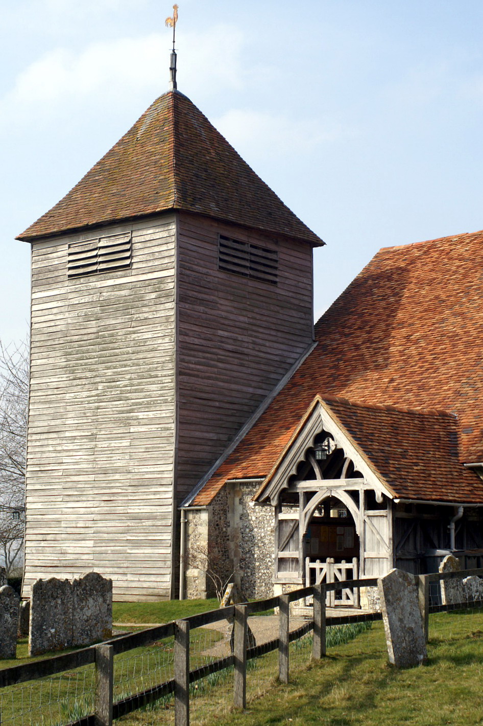
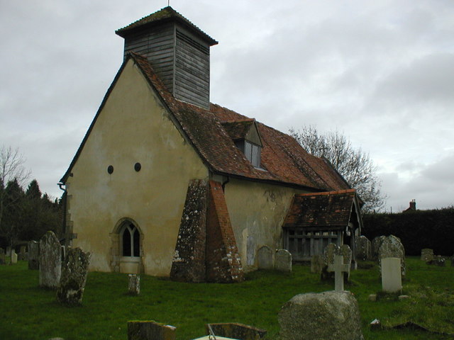
The village boasts a rich history, with evidence of settlements dating back to the Roman era. Today, Timsbury retains its traditional charm, with a mix of old and new buildings lining its streets. The local architecture is predominantly made up of quaint cottages and farmhouses, giving the village a timeless appeal.

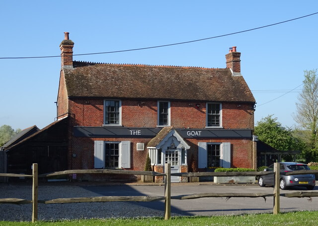
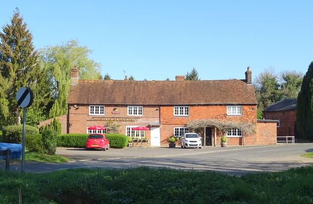
Despite its small size, Timsbury offers a range of amenities to cater to its residents' needs. These include a primary school, a village hall, a post office, and several shops and pubs. The community in Timsbury is known for its strong sense of togetherness, hosting various events and activities throughout the year, such as the Timsbury Carnival and the village fete.

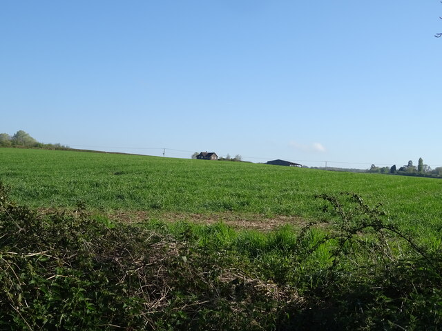
Nature lovers are drawn to Timsbury for its proximity to the New Forest, providing ample opportunities for outdoor pursuits. The village is surrounded by lush greenery and offers numerous walking and cycling routes for visitors to explore. Additionally, the nearby Test River provides excellent fishing spots for angling enthusiasts.

Timsbury's location also makes it an ideal base for exploring the wider Hampshire area. The historic city of Winchester, with its stunning cathedral and medieval architecture, is just a short drive away, as are the popular tourist attractions of Stonehenge and Salisbury Cathedral.

In summary, Timsbury is a charming village in Hampshire that offers a peaceful and scenic environment, with a strong sense of community and easy access to both natural beauty and cultural attractions.

If you have any feedback on the listing, please let us know in the comments section below.
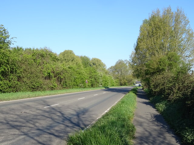
Timsbury Images

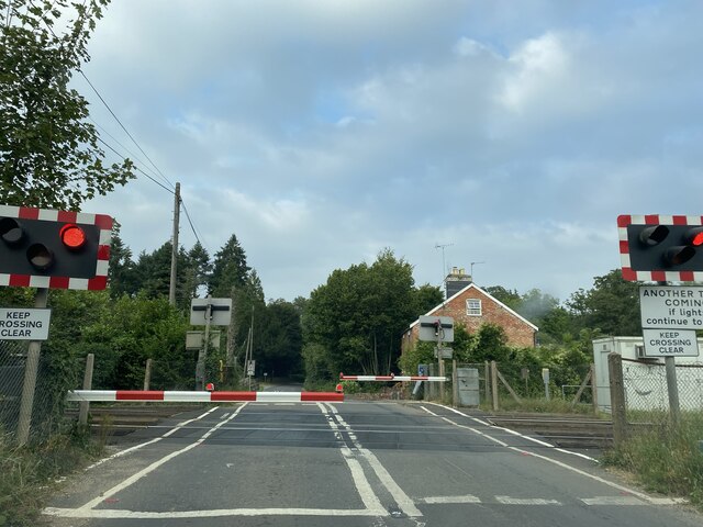
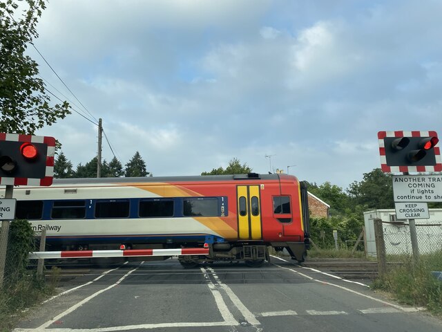
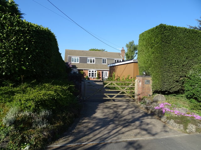
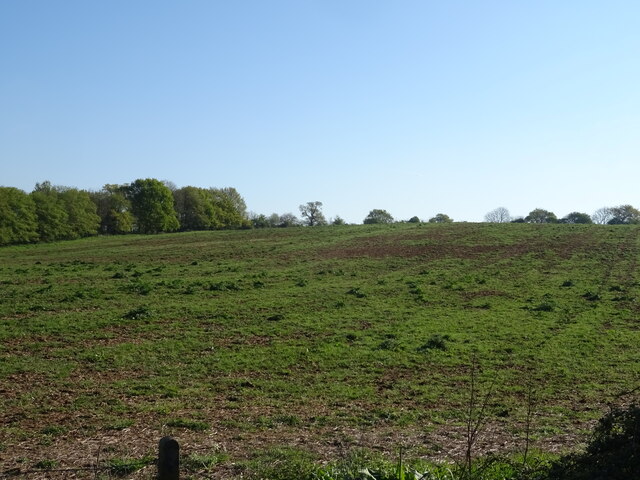
Images are sourced within 2km of 51.026878/-1.509447 or Grid Reference SU3425. Thanks to Geograph Open Source API. All images are credited.

Level crossing near Kimbridge Kimbridge Lane crosses the railway between Southampton and Salisbury. The Monarch's Way long distance footpath also crosses the railway here.
Level crossing near Kimbridge
Kimbridge Lane crosses the railway between Southampton and Salisbury. The Monarch's Way long distance footpath also crosses the railway here.
Train passing Kimbridge level crossing The South Western train is heading towards Southampton.
Train passing Kimbridge level crossing
The South Western train is heading towards Southampton.
House on Yokesford Hill
Yokesford Hill, Belbins Towards the A3057.
Yokesford Hill, Belbins
Towards the A3057.
Grazing near Brook Farm
Yokesford Hill towards the A3057
House on the A3057, Timsbury
Manor Lane, Timsbury
Path beside the A3057, Timsbury
Grassland, Timsbury Off the A3057.
Grassland, Timsbury
Off the A3057.
National Cycle Route 24, Timsbury Beside the A3057.
National Cycle Route 24, Timsbury
Beside the A3057.
House on Stockbridge Road (A3057)
The Goat at Timsbury On Stockbridge Road.
See <a href="https://www.geograph.org.uk/photo/7302504">SU3425 : Sign for the Goat at Timsbury</a> for sign.
The Goat at Timsbury
On Stockbridge Road. See SU3425 : Sign for the Goat at Timsbury for sign.
Sign for the Goat at Timsbury See <a href="https://www.geograph.org.uk/photo/7302501">SU3425 : The Goat at Timsbury</a> for public house.
Sign for the Goat at Timsbury
See SU3425 : The Goat at Timsbury for public house.
Crop field near Michelmersh
National Cycle Route 24 Beside the A3057.
National Cycle Route 24
Beside the A3057.
The Bear and Ragged Staff See <a href="https://www.geograph.org.uk/photo/7302517">SU3325 : Sign for the Bear and Ragged Staff </a> for sign.
The Bear and Ragged Staff
The Bear and Ragged Staff See <a href="https://www.geograph.org.uk/photo/7302517">SU3325 : Sign for the Bear and Ragged Staff </a> for sign.
The Bear and Ragged Staff
Show me another place!

Timsbury is located at Grid Ref: SU3425 (Lat: 51.026878, Lng: -1.509447)

Administrative County: Hampshire

District: Test Valley

Police Authority: Hampshire

What 3 Words

///sprinkler.easygoing.land. Near Romsey, Hampshire

Related Wikis

1987 IFMAR 1:10 Electric Off-Road World Championships

The 1987 IFMAR/Parma 1:10 Electric Off-Road World Championship was the second edition of the IFMAR 1:10 Electric Off-Road World Championship that was held...

Michelmersh

Michelmersh is a village and former civil parish, now in the parish of Michelmersh and Timsbury, in the Test Valley district, in the county of Hampshire...

Timsbury, Hampshire

Timsbury is a village and former civil parish, now in the parish of Michelmersh and Timsbury, in the Test Valley district, in Hampshire, England. It is...

Michelmersh Court

Michelmersh Court is a former rectory in the village of Michelmersh in Hampshire, southern England. A Grade II* listed building, it is now a private house...

Nearby Amenities

Located within 500m of 51.026878,-1.509447
Timsbury
Place: village
Population: 400
Wikidata: Q7807668
Wikipedia: en:Timsbury, Hampshire
Lat/Long: 51.0253721/-1.5092251
Pub
The Goat
Note: The name of this pub is no longer the malthouse inn (now it is called the goat)
Lat/Long: 51.0266526/-1.5134958
Post Box
Post Box Type: lamp
Ref: SO51 551D
Royal Cypher: EIIR
Royal Cypher Wikidata: Q33102113
Lat/Long: 51.0306571/-1.510707
Bus Stop
Recreation Ground
Bus: yes
Naptan AtcoCode: 1900HA100072
Naptan Bearing: S
Naptan CommonName: Recreation Ground
Naptan NaptanCode: hamamjwm
Naptan Street: Stockbridge Road
Naptan Verified: no
Public Transport: platform
Source: naptan_import
Lat/Long: 51.0244035/-1.5086315
Bus Stop
Recreation Ground
Bus: yes
Naptan AtcoCode: 1900HA100073
Naptan Bearing: N
Naptan CommonName: Recreation Ground
Naptan NaptanCode: hamamjwg
Naptan Street: Stockbridge Road
Naptan Verified: no
Public Transport: platform
Source: naptan_import
Lat/Long: 51.024377/-1.5087458
Bus Stop
The Malthouse Inn
Bus: yes
Naptan AtcoCode: 1900HA100074
Naptan Bearing: NW
Naptan CommonName: The Malthouse Inn
Naptan NaptanCode: hamamgwt
Naptan Street: Stockbridge Road
Naptan Verified: no
Public Transport: platform
Source: naptan_import
Lat/Long: 51.0269767/-1.5132386
Bus Stop
Hill View Road
Bus: yes
Naptan AtcoCode: 1900HA100077
Naptan Bearing: E
Naptan CommonName: Hill View Road
Naptan NaptanCode: hamamjmd
Naptan Street: Hill View Road
Naptan Verified: no
Public Transport: platform
Source: naptan_import
Lat/Long: 51.0306622/-1.5107472
Bus Stop
Mannyngham Way
Bus: yes
Naptan AtcoCode: 1900HA100079
Naptan Bearing: S
Naptan CommonName: Mannyngham Way
Naptan Crossing: The Milburns
Naptan NaptanCode: hamampaj
Naptan Street: New Road
Naptan Verified: no
Public Transport: platform
Source: naptan_import
Lat/Long: 51.0267934/-1.5081356
Bus Stop
Mannyngham Way
Bus: yes
Naptan AtcoCode: 1900HA100080
Naptan Bearing: N
Naptan CommonName: Mannyngham Way
Naptan Crossing: The Milburns
Naptan NaptanCode: hamampag
Naptan Street: New Road
Naptan Verified: no
Public Transport: platform
Source: naptan_import
Lat/Long: 51.0268118/-1.508221
Bus Stop
Jubilee Hall
Bus: yes
Naptan AtcoCode: 1900HAA09574
Naptan Bearing: SW
Naptan BusStopType: CUS
Naptan CommonName: Jubilee Hall
Naptan Crossing: Adj Mannyngham Way
Naptan Landmark: Timsbury Jubilee Hall
Naptan NaptanCode: hamjmawm
Naptan Street: Off New Road
Naptan Verified: no
Public Transport: platform
Source: naptan_import
Lat/Long: 51.0261811/-1.5081442
Post Box
Post Box Type: lamp
Ref: SO51 109
Royal Cypher: EIIR
Royal Cypher Wikidata: Q33102113
Lat/Long: 51.0267949/-1.5080367
Barrier: stile
Material: wood
Stile: stepover
Lat/Long: 51.0269588/-1.5122328
Barrier: kissing_gate
Lat/Long: 51.0275091/-1.5078117
Sport: skateboard
Lat/Long: 51.0259331/-1.5071902
Recycling
Recycling Glass Bottles: yes
Recycling Type: container
Lat/Long: 51.0306259/-1.5105027
Barrier: kissing_gate
Foot: yes
Lat/Long: 51.0305005/-1.5100395
Barrier: stile
Material: wood
Stile: stepover
Lat/Long: 51.0292741/-1.509689
Power: pole
Lat/Long: 51.0277416/-1.5163368
Power: pole
Lat/Long: 51.028299/-1.5153967
Power: pole
Lat/Long: 51.028705/-1.5147143
Power: pole
Lat/Long: 51.0291405/-1.514005
Power: pole
Lat/Long: 51.0295464/-1.5132252
Power: pole
Lat/Long: 51.030058/-1.5123646
Power: pole
Lat/Long: 51.0306312/-1.5113894
The data included in this document is from www.openstreetmap.org. The data is made available under ODbL.

Have you been to Timsbury?

Leave your review of Timsbury below (or comments, questions and feedback).