Timperley
Settlement in Cheshire
England
Timperley

Timperley is a suburban area located in the borough of Trafford, in the county of Cheshire, England. Situated approximately 8 miles southwest of Manchester city center, Timperley is a well-connected residential area with a population of around 11,000 people.
The town has a rich history, dating back to the Middle Ages when it was known as Timberley. Today, it maintains a mix of old and new buildings, reflecting its evolving character. The housing stock comprises mainly of Victorian and Edwardian terraced houses, as well as modern developments.
Timperley benefits from excellent transport links. The town is served by the nearby Timperley tram stop, providing easy access to Manchester city center and surrounding areas. Additionally, Timperley railway station offers regular services to Manchester, Chester, and Manchester Airport.
Residents of Timperley enjoy a range of amenities and facilities. The town center has a selection of local shops, cafes, and restaurants, providing for everyday needs. For a larger shopping experience, nearby Altrincham town center offers a wider range of high street and independent retailers.
Nature enthusiasts will appreciate the nearby green spaces. Timperley Country Park is a popular destination for locals and visitors alike, offering picturesque walks and picnic spots. Additionally, Dunham Massey, a National Trust property, is situated nearby, boasting a stunning Georgian mansion and extensive gardens.
In terms of education, Timperley has several primary schools, and the renowned Altrincham Grammar School for Boys is within close proximity.
Overall, Timperley offers a pleasant and convenient place to live, blending its historical roots with modern amenities, excellent transport links, and access to nearby green spaces.
If you have any feedback on the listing, please let us know in the comments section below.
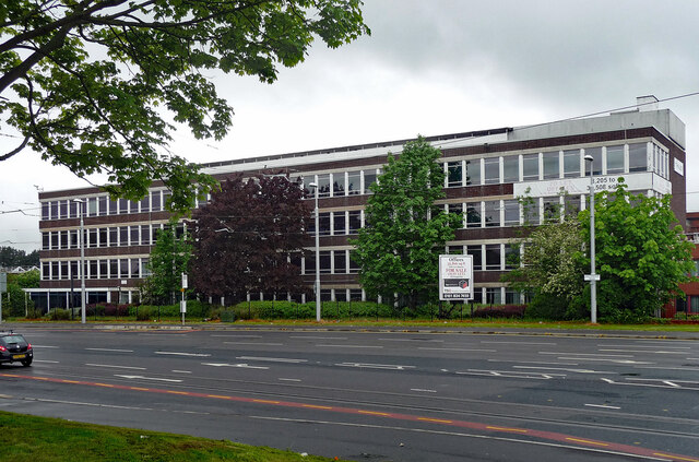
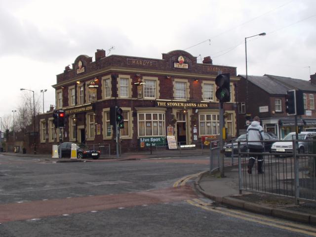
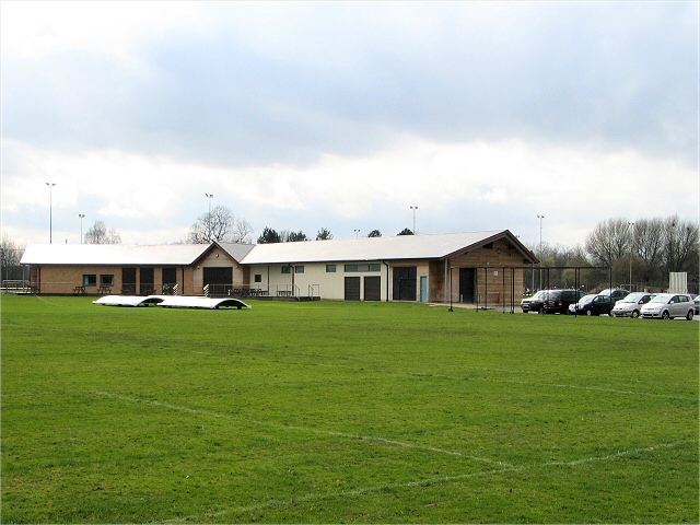
Timperley Images
Images are sourced within 2km of 53.394059/-2.32163 or Grid Reference SJ7888. Thanks to Geograph Open Source API. All images are credited.


Timperley is located at Grid Ref: SJ7888 (Lat: 53.394059, Lng: -2.32163)
Unitary Authority: Trafford
Police Authority: Greater Manchester
What 3 Words
///digits.longer.woods. Near Timperley, Manchester
Nearby Locations
Related Wikis
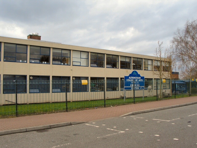
Altrincham College
Altrincham College is a non-selective secondary school and sixth form located in Timperley (near Altrincham ), Trafford, England. The school is an academy...

Wellington School, Timperley
Wellington School is a mixed secondary school and sixth form with academy status. It is located in Timperley in the English county of Greater Manchester...
Timperley
Timperley is a suburban area in the borough of Trafford, Greater Manchester, England. Within the boundaries of the historic county of Cheshire, it is approximately...

Baguley railway station
Baguley railway station was a station in the south of Manchester, England, at the extreme western edge of Baguley near the southern end of Brooklands Road...
Nearby Amenities
Located within 500m of 53.394059,-2.32163Have you been to Timperley?
Leave your review of Timperley below (or comments, questions and feedback).