Aintree
Settlement in Lancashire
England
Aintree

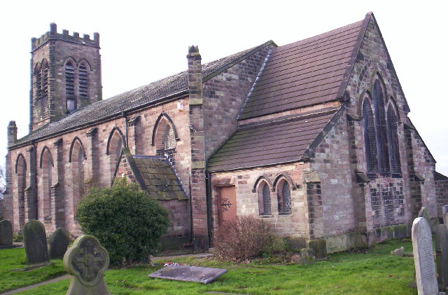
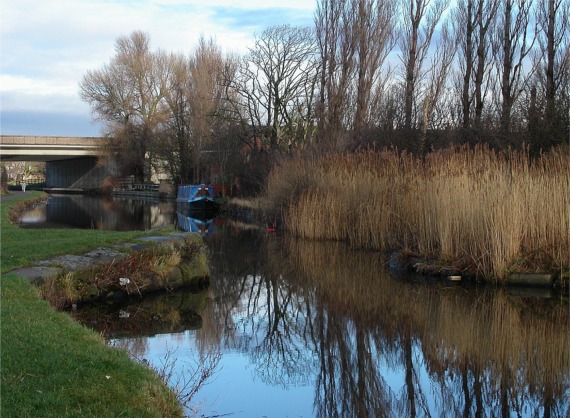
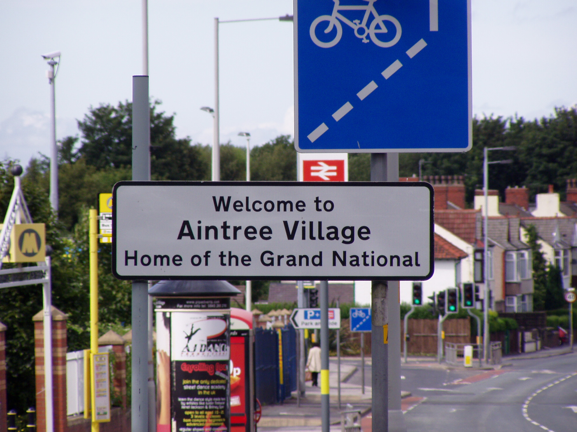
Aintree is a village located in the metropolitan borough of Sefton, within the county of Lancashire in North West England. It lies approximately six miles north of the city of Liverpool and is situated close to the towns of Maghull and Kirkby. Aintree is best known for being home to the famous Aintree Racecourse, which hosts the world-renowned Grand National horse race.
The village itself is predominantly residential, with a mix of housing estates and individual properties. It has a population of around 6,000 people. Aintree has a strong sense of community and benefits from a range of local amenities, including shops, schools, and leisure facilities.
The Aintree Retail Park, located nearby, offers a variety of shops and restaurants, providing convenience for both residents and visitors. The village is well-connected to transportation links, with Aintree railway station providing regular services to Liverpool and Ormskirk.
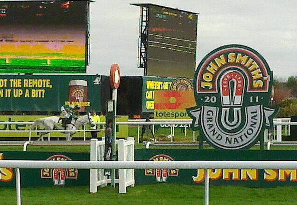
Aintree Racecourse is undoubtedly the main attraction for the area. The Grand National, held annually in April, is one of the most prestigious and challenging horse races in the world, drawing crowds from far and wide. The racecourse also hosts other racing events throughout the year, attracting enthusiasts and punters alike.
Overall, Aintree offers a pleasant suburban lifestyle with a vibrant horse racing heritage. Its proximity to Liverpool provides residents with easy access to the city's amenities and employment opportunities, making it an attractive place to live for both racing enthusiasts and those seeking a quieter suburban setting.
If you have any feedback on the listing, please let us know in the comments section below.
Aintree Images
Images are sourced within 2km of 53.48284/-2.936494 or Grid Reference SJ3798. Thanks to Geograph Open Source API. All images are credited.


Aintree is located at Grid Ref: SJ3798 (Lat: 53.48284, Lng: -2.936494)
Unitary Authority: Sefton
Police Authority: Merseyside
What 3 Words
///drill.trout.study. Near Melling, Merseyside
Nearby Locations
Related Wikis
Aintree
Aintree is a village and civil parish in the Metropolitan Borough of Sefton, Merseyside, England. Historically in Lancashire, it lies between Walton and...

Aintree Motor Racing Circuit
Aintree Motor Racing Circuit is a 3.000 mi (4.828 km) motor racing circuit in the village of Aintree, Metropolitan Borough of Sefton, Merseyside, England...
Aintree Racecourse
Aintree Racecourse is a racecourse in Aintree, Metropolitan Borough of Sefton, Merseyside, England, bordering the city of Liverpool. The racecourse is...
Grand National
The Grand National is a National Hunt horse race held annually at Aintree Racecourse, Aintree, Merseyside, England. First run in 1839, it is a handicap...

Valentine's Brook
Valentine's Brook is a fence on Aintree Racecourse's National Course and thus is jumped during the Grand National steeplechase which is held annually at...
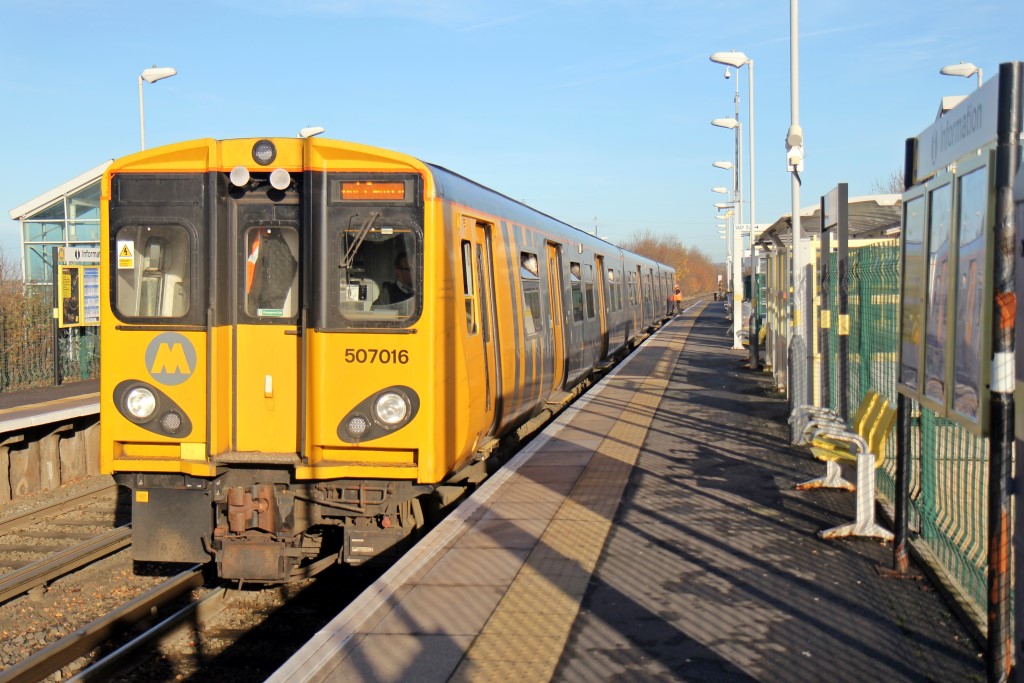
Old Roan railway station
Old Roan railway station is a railway station in Aintree village, Merseyside, England, about seven miles north-east of Liverpool, on the Ormskirk Branch...
Molyneux (ward)
Molyneux is a Metropolitan Borough of Sefton ward in the Sefton Central Parliamentary constituency that covers the localities of Aintree, Melling, Waddicar...

Rampworx skatepark
Rampworx is an indoor skatepark in Aintree, Liverpool, England. It covers over 50,000-square-foot (4,600 m2), making it the largest in the United Kingdom...
Related Videos

Walking Sonny again
Back on the old rd with the happy dog.


Queens Avenue In The Seven Streets Quarter - Liverpool City Centre: Side Streets | The Liverpudlian
Queens Avenue is a beautiful little street in Liverpool City Centre, here is a quick look at the gorgeous hideout. Follow The ...
Nearby Amenities
Located within 500m of 53.48284,-2.936494Have you been to Aintree?
Leave your review of Aintree below (or comments, questions and feedback).