Ainthorpe
Settlement in Yorkshire Scarborough
England
Ainthorpe

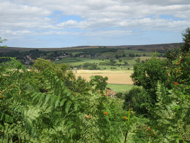
Ainthorpe is a small village located in the beautiful region of Yorkshire, England. Situated in the North York Moors National Park, this charming village offers an idyllic rural setting surrounded by stunning natural landscapes.
With a population of around 150 people, Ainthorpe is known for its peaceful atmosphere and close-knit community. The village is characterized by its traditional stone houses, which give it a quaint and picturesque feel. The surrounding countryside is dotted with rolling hills, lush green fields, and meandering streams, providing an ideal backdrop for outdoor activities and exploration.
Ainthorpe is a haven for nature lovers and outdoor enthusiasts. The village is conveniently located near several popular walking trails, including the famous Cleveland Way and Esk Valley Walk, allowing visitors to immerse themselves in the breathtaking beauty of the area. Wildlife enthusiasts will also appreciate the abundant flora and fauna, with opportunities to spot various species of birds, deer, and even the occasional wild boar.
Despite its small size, Ainthorpe is well-connected to nearby towns and cities. The market town of Whitby is only a short drive away, offering a range of amenities, shops, and attractions. The historic Whitby Abbey and the picturesque Whitby Harbour are popular tourist destinations in the area.
In summary, Ainthorpe is a peaceful and scenic village in Yorkshire's North York Moors National Park. Surrounded by stunning natural beauty, it provides an ideal location for outdoor activities and a close-knit community for those seeking a tranquil rural lifestyle.
If you have any feedback on the listing, please let us know in the comments section below.
Ainthorpe Images
Images are sourced within 2km of 54.461592/-0.912519 or Grid Reference NZ7007. Thanks to Geograph Open Source API. All images are credited.


Ainthorpe is located at Grid Ref: NZ7007 (Lat: 54.461592, Lng: -0.912519)
Division: North Riding
Administrative County: North Yorkshire
District: Scarborough
Police Authority: North Yorkshire
What 3 Words
///cookers.jukebox.menswear. Near Danby, North Yorkshire
Nearby Locations
Related Wikis

Ainthorpe
Ainthorpe is a village in the civil parish of Danby and the Scarborough district of the county of North Yorkshire, England. It is situated within the...
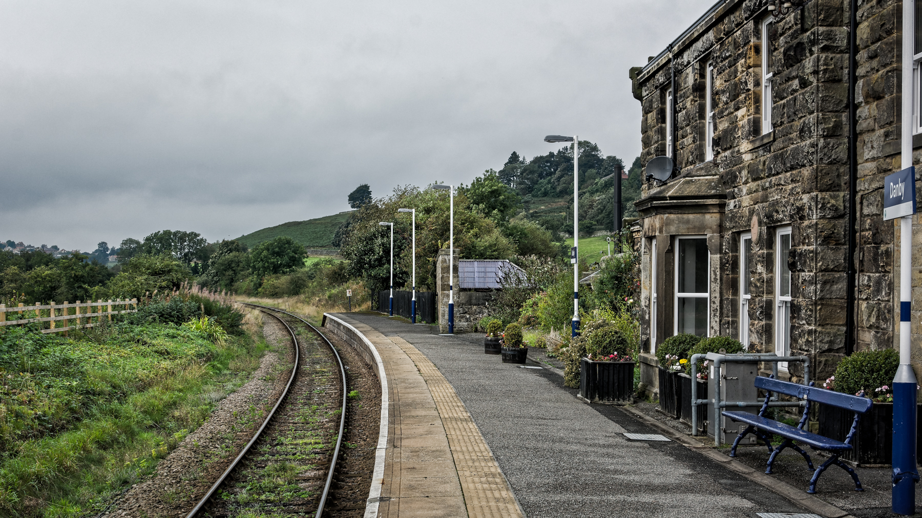
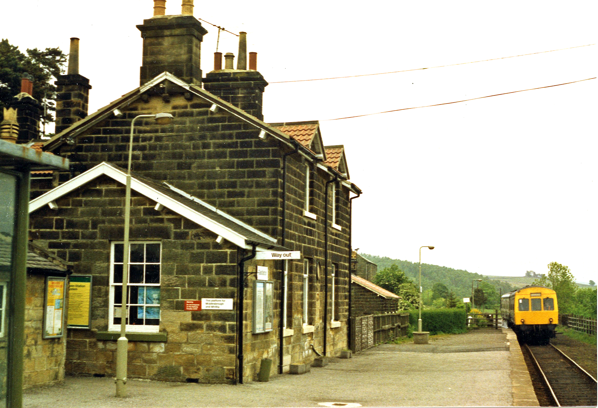
Danby railway station
Danby is a railway station on the Esk Valley Line, which runs between Middlesbrough and Whitby via Nunthorpe. The station, situated 15 miles 9 chains...

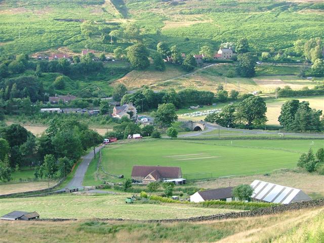
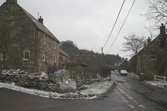
Danby, North Yorkshire
Danby is a village and civil parish in the former Scarborough district of North Yorkshire, England. According to the 2011 UK census, Danby parish had a...
Castleton, North Yorkshire
Castleton is a village on the River Esk, part of the civil parish of Danby in the county of North Yorkshire in England. It can be found 7.1 miles (11.5...
Castleton Moor railway station
Castleton Moor is a railway station on the Esk Valley Line, which runs between Middlesbrough and Whitby via Nunthorpe. The station, situated 16 miles 45...

Fryup
Fryup (grid reference NZ720046) is a hamlet in the North York Moors National Park in North Yorkshire, England. It is within the civil parish of Danby,...

Woodsmith Mine Tunnel
The Woodsmith Mine Tunnel (also known as a Mineral Transport System [MTS]) is a 23-mile (37 km) long tunnel that will stretch between Woodsmith Mine at...
Houlsyke
Houlsyke is a hamlet in the Glaisdale civil parish of the Borough of Scarborough, in North Yorkshire, England. It is situated between Danby and Lealholm...
Related Videos

Blakey View: Book a Dog-Friendly Holiday Cottage by the North York Moors
Search for your holiday cottage in England, Scotland and Wales. 60% are dog-friendly: https://tidd.ly/463zYBb . We stayed at a ...
The Sitting Man | Danby & Lealholm | May Bank Holiday 2018 4K
Wow our first stop today was The Sitting Man statue, he is situated not far outside Castleton in the North east of England on the ...

Uphill Adventure With a Senior Dog: Walking Trails with a Senior Dog Around Castleton Village
Accommodation with Holiday Cottages includes quaint cottages, working farms, barns, thatched cottages, workshops, and quirky ...
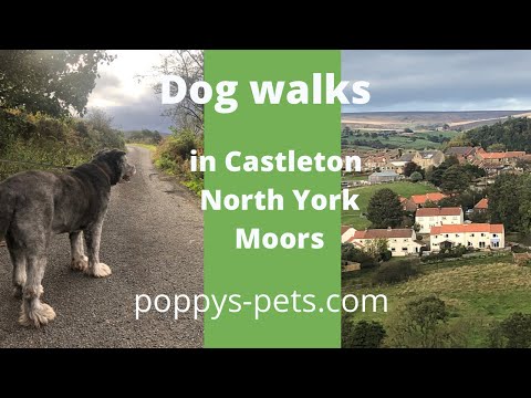
North York Moors - Walking Trail with Dogs (suitable for senior dogs): Castleton Village & Nearby
Enjoy this 1-hour walk with your dog from the holiday cottage on Ashfield Road in Castleton, North York Moors.
Nearby Amenities
Located within 500m of 54.461592,-0.912519Have you been to Ainthorpe?
Leave your review of Ainthorpe below (or comments, questions and feedback).