Wells, The

Settlement in Surrey Epsom and Ewell

England

Wells, The

Ashtead - Craddocks Avenue Residential road near Ashtead Station.
Ashtead - Craddocks Avenue Credit: James Emmans

Wells, The, Surrey, commonly known as simply "The Wells," is a picturesque village located in the borough of Reigate and Banstead in Surrey, England. Nestled amidst the beautiful countryside, The Wells is renowned for its idyllic charm and tranquil atmosphere.

The village takes its name from the natural spring, or "well," that is located within its boundaries. This historic water source has been a significant feature of the village for centuries, providing fresh water to the local community. The Wells is often a popular destination for visitors seeking to experience the therapeutic properties of the natural spring.

The village itself is characterized by its traditional architecture, with many charming cottages and buildings dating back several centuries. The picturesque village green serves as a focal point for community gatherings and events, adding to the village's sense of community.

The Wells boasts a range of amenities, including a local pub, The Wells Tavern, where visitors can enjoy a traditional British meal and sample ales from local breweries. Additionally, the village is well-served by local shops, including a convenience store and a post office, catering to the everyday needs of its residents.

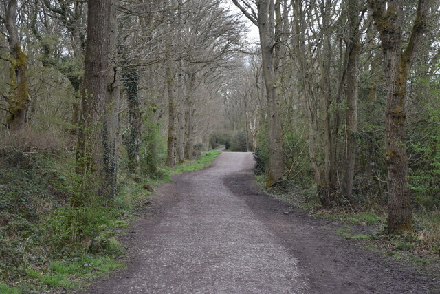
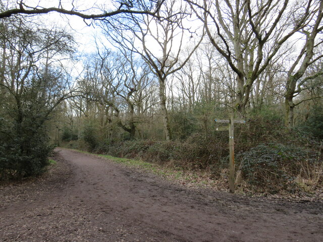
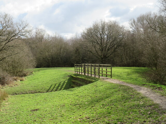
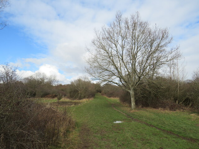
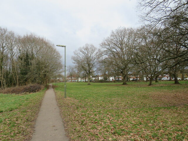
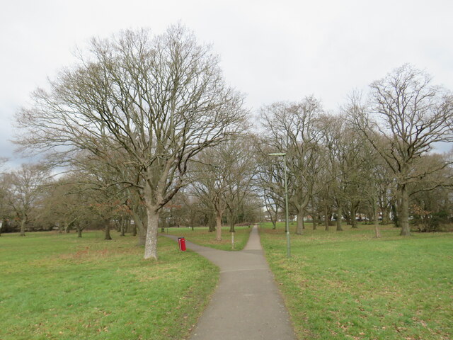
Surrounded by stunning countryside, The Wells offers plenty of opportunities for outdoor activities. The village is a starting point for several scenic walking routes, allowing visitors to explore the surrounding woodlands, meadows, and rolling hills.

With its rich history, natural beauty, and welcoming community, The Wells in Surrey remains a hidden gem for those seeking a peaceful and authentic English village experience.

If you have any feedback on the listing, please let us know in the comments section below.
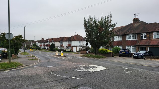
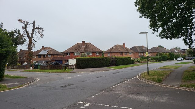
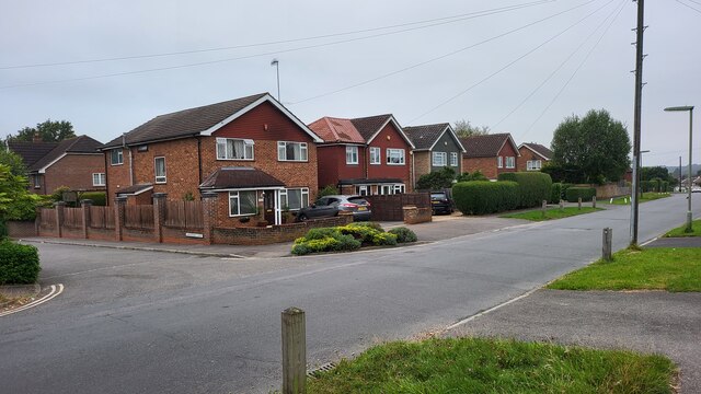
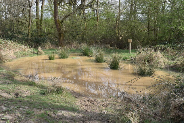
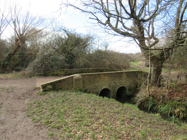
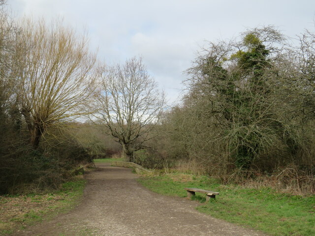
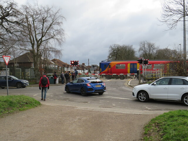
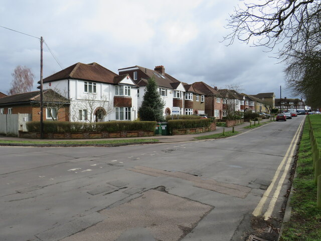
Wells, The Images

Images are sourced within 2km of 51.328182/-0.288874 or Grid Reference TQ1960. Thanks to Geograph Open Source API. All images are credited.

Ashtead - Craddocks Avenue Residential road near Ashtead Station.
Ashtead - Craddocks Avenue
Residential road near Ashtead Station.
Bramley Way Junction with Cray Avenue and Berry Meade.
Bramley Way
Junction with Cray Avenue and Berry Meade.
Bramley Way junction with Stonny Croft
Very muddy path on Ashtead Common
Shaun's Puddle A small pond created in 2016 to aid with drainage of a very muddy area.
Shaun's Puddle
A small pond created in 2016 to aid with drainage of a very muddy area.
Cycle route along the edge of Newton Wood
Path near Ashtead A path leading onto Ashtead Common, in Surrey.

This image was taken during the month of February.  Trees were bare for the winter season.
Path near Ashtead
A path leading onto Ashtead Common, in Surrey. This image was taken during the month of February. Trees were bare for the winter season.
Path over The Rye Brook on Ashtead Common A path on Ashtead Common, crossing The Rye Brook, which flows beneath through a duct.

This image was taken during the month of February.  Trees were bare for the winter season.
Path over The Rye Brook on Ashtead Common
A path on Ashtead Common, crossing The Rye Brook, which flows beneath through a duct. This image was taken during the month of February. Trees were bare for the winter season.
Path on Ashtead Common A path on Ashtead Common in Surrey.  The path is a public bridleway.

This image was taken in the month of February.  Trees were bare for the winter season.
Path on Ashtead Common
A path on Ashtead Common in Surrey. The path is a public bridleway. This image was taken in the month of February. Trees were bare for the winter season.
Bridge over The Rye Brook, Ashtead Common A bridge taking a bridleway over The Rye Brook on Ashtead Common, in Surrey.

This image was taken in the month of February.  Trees were bare for the winter season.
Bridge over The Rye Brook, Ashtead Common
A bridge taking a bridleway over The Rye Brook on Ashtead Common, in Surrey. This image was taken in the month of February. Trees were bare for the winter season.
Track onto Ashtead Common A track leading onto Ashtead Common in Surrey.  The track is a public right of way as a bridleway.

This image was taken in the month of February.  Trees were bare for the winter season.
Track onto Ashtead Common
A track leading onto Ashtead Common in Surrey. The track is a public right of way as a bridleway. This image was taken in the month of February. Trees were bare for the winter season.
Level crossing at Ashtead A level crossing at Ashtead in Surrey.  Cars and pedestrians wait as a train passes through.

This image was taken in the month of February.  Trees were bare for the winter season.
Level crossing at Ashtead
A level crossing at Ashtead in Surrey. Cars and pedestrians wait as a train passes through. This image was taken in the month of February. Trees were bare for the winter season.
Woodfield Lane, Ashtead Woodfield Lane is a residential road in the village of Ashtead in Surrey.
Woodfield Lane, Ashtead
Woodfield Lane is a residential road in the village of Ashtead in Surrey.
Path on Wood Field, Ashtead A path across Wood Field in the village of Ashtead in Surrey.

This image was taken in the month of February.  Trees were bare for the winter season.
Path on Wood Field, Ashtead
A path across Wood Field in the village of Ashtead in Surrey. This image was taken in the month of February. Trees were bare for the winter season.
Paths on Wood Field, Ashtead Footpaths across Wood Field in the village of Ashtead in Surrey.

This image was taken in the month of February.  Trees were bare for the winter season.
Paths on Wood Field, Ashtead
Footpaths across Wood Field in the village of Ashtead in Surrey. This image was taken in the month of February. Trees were bare for the winter season.
Level crossing at Ashtead A level crossing taking a railway across the road in the village of Ashtead in Surrey.

This image was taken in the month of February.  Trees were bare for the winter season.
Level crossing at Ashtead
A level crossing taking a railway across the road in the village of Ashtead in Surrey. This image was taken in the month of February. Trees were bare for the winter season.
Overdale, Ashtead Overdale is a residential road in the village of Ashtead in Surrey.
Overdale, Ashtead
Overdale is a residential road in the village of Ashtead in Surrey.
Bridleway on Ashtead Common A public bridleway leading onto Ashtead Common, in Surrey.

This image was taken on a February day.  Trees were bare for the winter season.
Bridleway on Ashtead Common
A public bridleway leading onto Ashtead Common, in Surrey. This image was taken on a February day. Trees were bare for the winter season.
Show me another place!

Wells, The is located at Grid Ref: TQ1960 (Lat: 51.328182, Lng: -0.288874)

Administrative County: Surrey

District: Epsom and Ewell

Police Authority: Surrey

What 3 Words

///sulk.face.hopes. Near Epsom, Surrey

Related Wikis

Epsom Common

Epsom Common is a 177.4-hectare (438-acre) Local Nature Reserve in Epsom in Surrey. It is owned and managed by Epsom and Ewell Borough Council. It is...

Rosebery School for Girls

Rosebery School is an all-girls school located in Epsom, Surrey. It consists of a lower school for those aged between 11 and 16, and a sixth form for those...

Kingswood House School

Kingswood House School is a private school in Epsom, Surrey in the United Kingdom. It was founded in 1899 and moved to its present site in West Hill in...
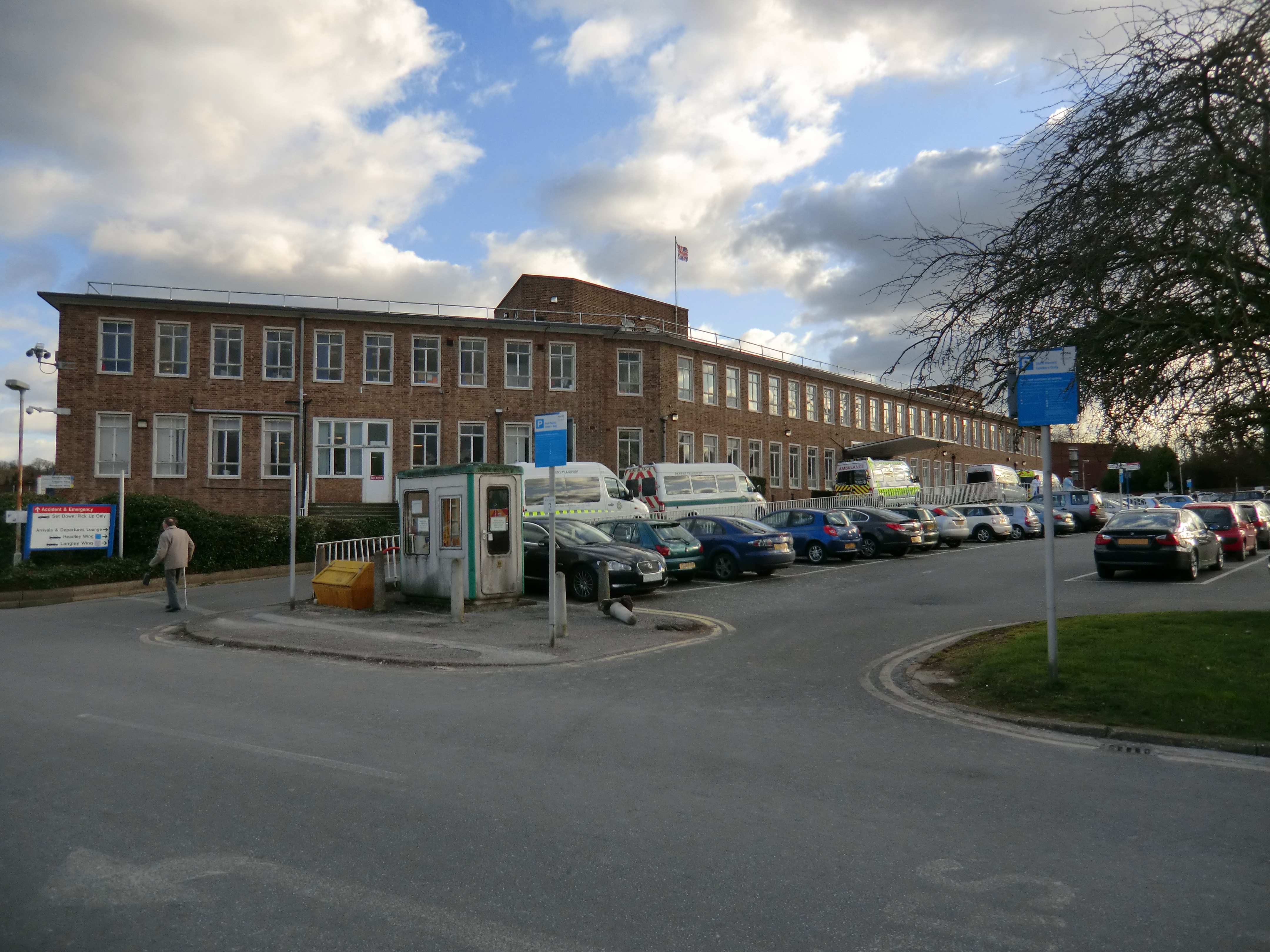
Epsom Hospital

Epsom Hospital is a teaching hospital in Epsom, Surrey, England. The hospital is situated on Dorking Road 1 kilometre (0.62 mi) south east of the centre...

Manor Hospital, Epsom

The Manor Hospital, formerly The Manor Asylum and The Manor Certified Institution was a mental handicap and psychiatric hospital in Horton, near Epsom...

Epsom (UK Parliament constituency)

Epsom was a borough constituency represented in the House of Commons of the Parliament of the United Kingdom. It elected one Member of Parliament (MP)...

Epsom and Ewell (UK Parliament constituency)

Epsom and Ewell is a constituency in Surrey represented in the House of Commons of the UK Parliament since 2001 by Chris Grayling, a Conservative. �...

Epsom and Ashtead Commons

Epsom and Ashtead Commons are a 360.4-hectare (891-acre) biological Site of Special Scientific Interest on the outskirts of Epsom and Ashtead in Surrey...

Nearby Amenities

Located within 500m of 51.328182,-0.288874
Turning Circle
Lat/Long: 51.3273774/-0.2922225
Turning Circle
Lat/Long: 51.3270014/-0.2902552
Site of original Epsom Salts well
Tourism: attraction
Lat/Long: 51.3270878/-0.2902488
Crossing: no
Lat/Long: 51.331839/-0.2863452
Post Box
Collection Times: Mo-Fr 09:00; Sa 07:00
Operator: Royal Mail
Post Box Mounting: pier
Post Box Type: lamp
Ref: KT18 128D
Royal Cypher: EIIR
Royal Cypher Wikidata: Q33102113
Lat/Long: 51.325676/-0.2855515
Bus Stop
Woodlands Road
Naptan AtcoCode: 40004406020A
Naptan Bearing: S
Naptan CommonName: Woodlands Road
Naptan Indicator: Opp
Naptan Landmark: Woodlands Road
Naptan NaptanCode: surajmda
Naptan Street: Wells Road
Naptan Verified: no
Public Transport: platform
Source: naptan_import
Lat/Long: 51.3252006/-0.2848019
Bus Stop
Woodlands Road
Naptan AtcoCode: 40004406020B
Naptan Bearing: NW
Naptan CommonName: Woodlands Road
Naptan Indicator: adj
Naptan Landmark: Woodlands Road
Naptan NaptanCode: surajmdg
Naptan Street: Wells Road
Naptan Verified: no
Public Transport: platform
Source: naptan_import
Lat/Long: 51.3259633/-0.285744
Bus Stop
Wells Estate Shops
Naptan AtcoCode: 40004406021A
Naptan Bearing: SE
Naptan CommonName: Wells Estate Shops
Naptan Indicator: Just after
Naptan Landmark: Wells Estate Shops
Naptan NaptanCode: surajmdj
Naptan Street: The Greenway
Naptan Verified: no
Public Transport: platform
Source: naptan_import
Lat/Long: 51.3280562/-0.288536
Bus Stop
Wells Estate Shops
Naptan AtcoCode: 40004406021B
Naptan Bearing: NE
Naptan CommonName: Wells Estate Shops
Naptan Indicator: Opp
Naptan Landmark: Wells Estate Shops
Naptan NaptanCode: surajmdm
Naptan Street: Wells Road
Naptan Verified: no
Public Transport: platform
Source: naptan_import
Lat/Long: 51.3283733/-0.2887525
Bus Stop
The Greenway
Naptan AtcoCode: 40004406022A
Naptan Bearing: SW
Naptan CommonName: The Greenway
Naptan Indicator: O/s 65
Naptan Landmark: The Greenway
Naptan NaptanCode: surajmdp
Naptan Street: The Greenway
Naptan Verified: no
Public Transport: platform
Source: naptan_import
Lat/Long: 51.3257409/-0.2886281
Bus Stop
The Crescent
Naptan AtcoCode: 40004406023A
Naptan Bearing: SE
Naptan CommonName: The Crescent
Naptan Indicator: On
Naptan Landmark: The Crescent
Naptan NaptanCode: surajmdt
Naptan Street: The Crescent
Naptan Verified: no
Public Transport: platform
Source: naptan_import
Lat/Long: 51.3264951/-0.2916293
Map board
Tourism: information
Lat/Long: 51.3240161/-0.2904756
Barrier: swing_gate
Lat/Long: 51.3275748/-0.2909852
Ford: yes
Lat/Long: 51.3252573/-0.2926347
Power: tower
Lat/Long: 51.3248921/-0.2916617
Bench
Lat/Long: 51.3325331/-0.2886462
Bench
Lat/Long: 51.332575/-0.2889493
Bench
Lat/Long: 51.3308556/-0.2924979
Post Box
Collection Times: Mo-Fr 09:00; Sa 07:00
Operator: Royal Mail
Post Box Type: pillar
Ref: KT18 195D
Royal Cypher: GVIR
Royal Cypher Wikidata: Q33102169
Lat/Long: 51.3263102/-0.2926285
Post Box
Collection Times: Mo-Fr 17:45; Sa 10:30
Operator: Royal Mail
Post Box Type: pillar
Ref: KT18 150
Royal Cypher: GR
Royal Cypher Wikidata: Q33102273
Lat/Long: 51.3281284/-0.288653
The Wells
Place: village
Lat/Long: 51.3273608/-0.2909097
Leisure: playground
Lat/Long: 51.3273815/-0.2915911
Historic: yes
Man Made: water_well
Lat/Long: 51.3271439/-0.2902265
Information: history
Tourism: information
Lat/Long: 51.3270627/-0.2902871
Ford: yes
Lat/Long: 51.3251958/-0.2923193
Description: white post, yellow hat with black stripe
Marker: aerial
Utility: oil
Lat/Long: 51.3252938/-0.284887
Colour: yellow
Direction: 60
Marker: post
Material: concrete
Utility: gas
Lat/Long: 51.3252252/-0.2850605
Colour: yellow
Direction: 150
Marker: post
Material: concrete
Utility: gas
Lat/Long: 51.3257545/-0.2853279
Colour: white
Direction: -30
Marker: post
Material: concrete
Utility: oil
Lat/Long: 51.3257879/-0.2853713
The data included in this document is from www.openstreetmap.org. The data is made available under ODbL.

Have you been to Wells, The?

Leave your review of Wells, The below (or comments, questions and feedback).