The Valley

Settlement in Kent Swale

England

The Valley

Cuckoo Wood Farm,  near Warren Street On Cold Harbour Road.
Cuckoo Wood Farm, near Warren Street Credit: pam fray

The Valley is a charming village located in the county of Kent, England. It is nestled within the picturesque Kent Downs, an Area of Outstanding Natural Beauty, offering residents and visitors a tranquil and idyllic setting. Situated approximately 10 miles southeast of Maidstone, The Valley is conveniently located near major transportation routes, allowing easy access to surrounding towns and cities.

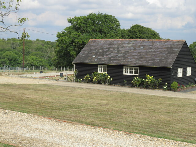
The village itself boasts a quaint and traditional atmosphere, with a population of around 1,500 residents. The architecture in The Valley is a mix of historical buildings and newer developments, blending old-world charm with modern amenities. The village has a strong sense of community, with a range of local amenities including a village hall, a primary school, and a handful of independent shops and businesses.

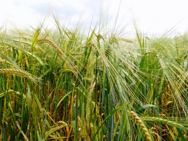
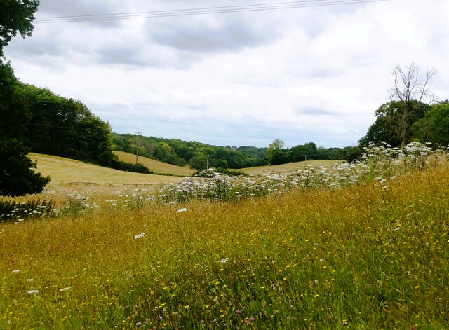
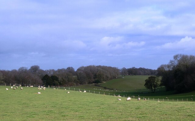
Surrounded by stunning countryside, The Valley is a paradise for outdoor enthusiasts. The area offers an array of walking and cycling trails, allowing visitors to explore the natural beauty of the Kent Downs. Additionally, the nearby River Medway provides opportunities for fishing and boating.

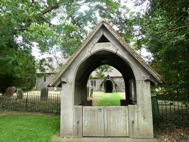
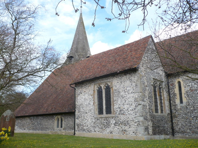
For those seeking cultural and historical experiences, The Valley offers several attractions within a short distance. Leeds Castle, one of the most famous and well-preserved castles in England, is just a few miles away. The village also hosts various events throughout the year, including a summer fete and a Christmas market, which further enhances the sense of community spirit.

Overall, The Valley in Kent is a peaceful and charming village, offering a relaxed lifestyle amidst beautiful surroundings, with a strong community spirit and plenty of opportunities to explore the natural and cultural treasures of the region.

If you have any feedback on the listing, please let us know in the comments section below.
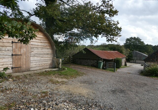
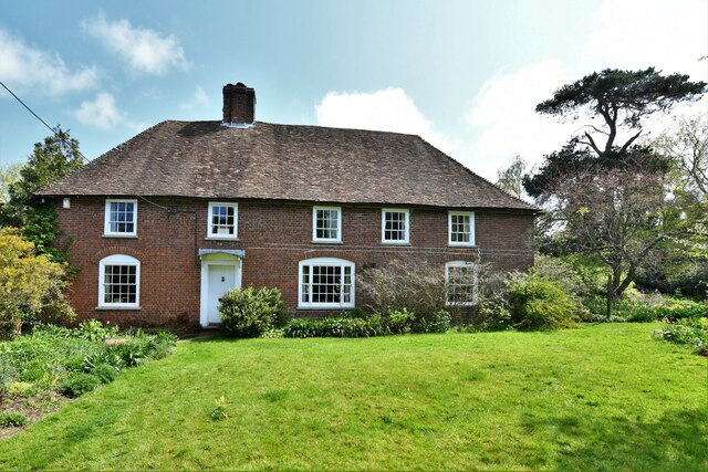
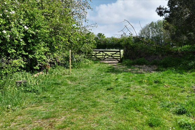
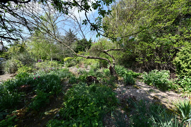
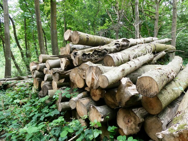
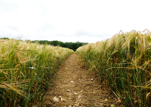
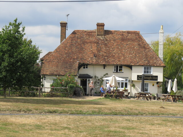
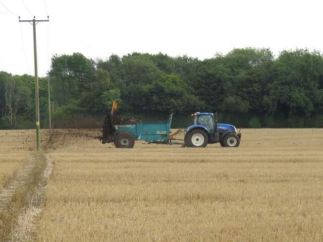
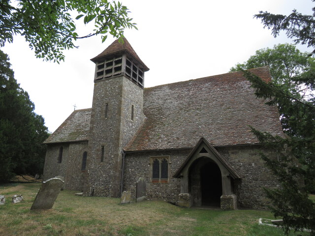
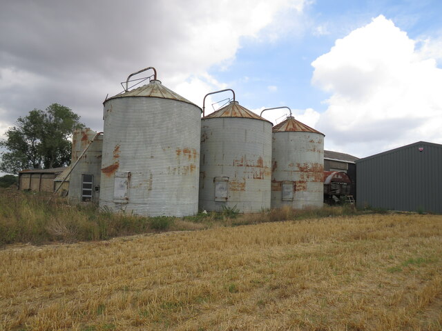
The Valley Images

Images are sourced within 2km of 51.251053/0.803649 or Grid Reference TQ9553. Thanks to Geograph Open Source API. All images are credited.

Cuckoo Wood Farm,  near Warren Street On Cold Harbour Road.
Cuckoo Wood Farm, near Warren Street
On Cold Harbour Road.
Bunce Court Old House, near Warren Street On Bunce Court Road.
Bunce Court Old House, near Warren Street
On Bunce Court Road.
Plaque to Anna Essinger, Bunce Court Erected by the Association of Jewish Refugees. <span class="nowrap"><a title="https://en.wikipedia.org/wiki/Anna_Essinger" rel="nofollow ugc noopener" href="https://en.wikipedia.org/wiki/Anna_Essinger">Link</a><img style="margin-left:2px;" alt="External link" title="External link - shift click to open in new window" src="https://s1.geograph.org.uk/img/external.png" width="10" height="10"/></span>
Plaque to Anna Essinger, Bunce Court
Erected by the Association of Jewish Refugees. LinkExternal link
Eastling: Frith farmhouse
Eastling: Small field
Eastling: Frith farmhouse garden
Felled trees in Spuckles Wood, Stalisfield Kent Wildlife Trust is identifying ash trees affected by the ash die back fungal disease and managing the trees that present the greatest risk to public safety              in Spuckles, Kennelling and Bowls Woods.
Felled trees in Spuckles Wood, Stalisfield
Kent Wildlife Trust is identifying ash trees affected by the ash die back fungal disease and managing the trees that present the greatest risk to public safety in Spuckles, Kennelling and Bowls Woods.
Footpath through a barley field, Stalisfield The path runs between Thorneycroft Road and Church Road.
Footpath through a barley field, Stalisfield
The path runs between Thorneycroft Road and Church Road.
Crop of barley, Stalisfield East of Spuckles Wood.
Crop of barley, Stalisfield
East of Spuckles Wood.
Farmland, Stalisfield Looking towards Hillside Road.
Farmland, Stalisfield
Looking towards Hillside Road.
St. Mary's Church, Stalisfield A Grade II* listed building, 13th century and restored in 1904.
St. Mary's Church, Stalisfield
A Grade II* listed building, 13th century and restored in 1904.
Caterpillars of the small tortoiseshell butterfly, Stalisfield The female lays her eggs on stinging nettle leaves, giving the larvae plenty to eat. to the east of Court Lodge Farm and St. Mary's Church.
Caterpillars of the small tortoiseshell butterfly, Stalisfield
The female lays her eggs on stinging nettle leaves, giving the larvae plenty to eat. to the east of Court Lodge Farm and St. Mary's Church.
The Plough at Stalisfield May take some finding but well worth the effort!
The Plough at Stalisfield
May take some finding but well worth the effort!
Muck spreading at Stalisfield Several tractor-trailers busy spreading much across the corn fields -  hard for walkers to keep boots clean!
Muck spreading at Stalisfield
Several tractor-trailers busy spreading much across the corn fields - hard for walkers to keep boots clean!
Stalisfield Church Some distance from the village so no surprise to find it locked.
Stalisfield Church
Some distance from the village so no surprise to find it locked.
Silos at Court Lodge Farm A large complex of silos and barns.
Silos at Court Lodge Farm
A large complex of silos and barns.
Barn at Parsonage Farm A 'redundant' farm given a new use?
Barn at Parsonage Farm
A 'redundant' farm given a new use?
Valley Farm, Otterden From the lane running between Stalisfield Road and Rigshill Road.
Valley Farm, Otterden
From the lane running between Stalisfield Road and Rigshill Road.
Show me another place!

The Valley is located at Grid Ref: TQ9553 (Lat: 51.251053, Lng: 0.803649)

Administrative County: Kent

District: Swale

Police Authority: Kent

What 3 Words

///avoiding.hesitate.stylists. Near Charing, Kent

Related Wikis

Faversham and Mid Kent (UK Parliament constituency)

Faversham and Mid Kent is a constituency represented in the House of Commons of the UK Parliament. Since 2015, the seat has been held by Helen Whately...

Otterden

Otterden is a civil parish and village on the Kent Downs in the borough of Maidstone in Kent, England. == History == Otterden is mentioned in the Domesday...

Stalisfield

Stalisfield is a village in the borough of Swale in Kent, England, located on a secondary road about 1½ miles (2.4 km) north of Charing and 5 miles south...

Spuckles and Kennelling Woods

Spuckles and Kennelling Woods is a 20-hectare (49-acre) nature reserve north of Charing in Kent. It is managed by Kent Wildlife Trust. It is in the Kent...

Newnham, Kent

Newnham is a village and civil parish in the Syndale valley in Kent, England, in the administrative borough of Swale near the medieval market town of Faversham...
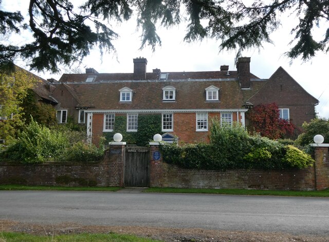
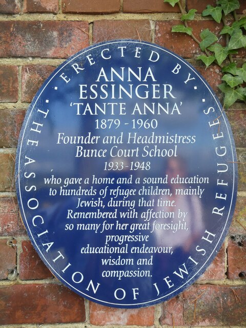
Bunce Court School

The Bunce Court School was an independent, private boarding school in the village of Otterden, in Kent, England. It was founded in 1933 by Anna Essinger...

Eastling

Eastling is a small village 4½ miles to the southwest of Faversham, Kent in England. It is set in a designated Area of Outstanding Natural Beauty on the...

RAF Throwley

Royal Air Force Throwley or more simply RAF Throwley is a former Royal Air Force (RAF) installation located 1.2 miles (1.9 km) south of Throwley, Kent...

Nearby Amenities

Located within 500m of 51.251053,0.803649
Post Box
Collection Plate: CP7D
Collection Times: Mo-Fr 09:00; Sa 07:00
Old Ref: ME13 37
Operator: Royal Mail
Operator Wikidata: Q638098
Ref: ME13 37D
Royal Cypher: EIIR
Source: survey
Survey Date: 2023-10-09
Lat/Long: 51.2513026/0.8025734
Information: guidepost
Tourism: information
Lat/Long: 51.2512993/0.8025457
The data included in this document is from www.openstreetmap.org. The data is made available under ODbL.

Have you been to The Valley?

Leave your review of The Valley below (or comments, questions and feedback).