Allbox Wood

Wood, Forest in Kent Swale

England

Allbox Wood

Cuckoo Wood Farm,  near Warren Street On Cold Harbour Road.
Cuckoo Wood Farm, near Warren Street Credit: pam fray

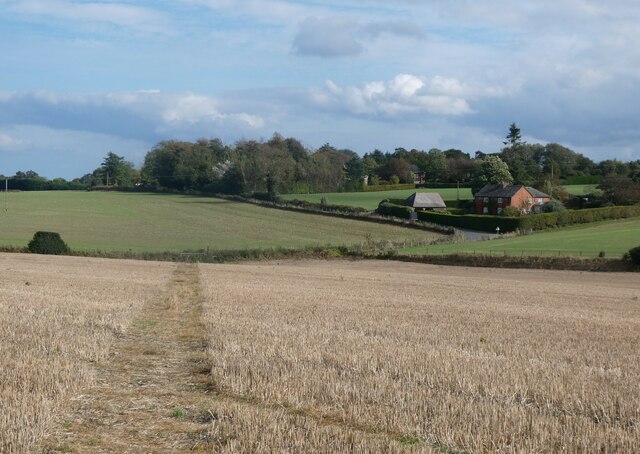
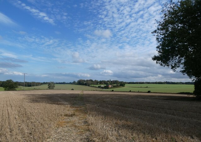
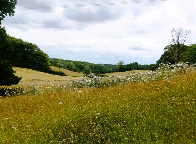
Allbox Wood is a small but significant woodland located in the county of Kent, England. Covering an area of approximately 50 acres, it is situated within the larger Allbox Hill and Broomfield Woods Site of Special Scientific Interest (SSSI), which spans over 200 acres. The wood is part of the wider Kent Downs Area of Outstanding Natural Beauty, renowned for its picturesque landscapes and rich biodiversity.

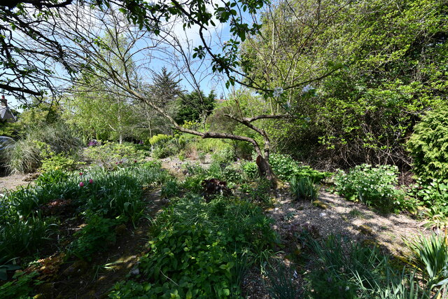
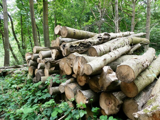
Allbox Wood is predominantly composed of mixed deciduous trees, including oak, beech, ash, and birch. These trees provide a dense canopy, creating a shaded and tranquil environment within the woodland. The forest floor is covered with a variety of wildflowers, ferns, and mosses, adding to the natural beauty and ecological importance of the area.

The wood is home to a diverse range of wildlife, including various bird species such as woodpeckers, thrushes, and owls. Mammals such as deer, foxes, and badgers can also be spotted within the woodland, while the nearby streams and ponds support a variety of aquatic life, including frogs, newts, and dragonflies.

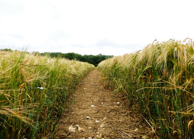
Allbox Wood is a popular destination for nature enthusiasts, walkers, and photographers, who are drawn to its serene atmosphere and scenic beauty. It offers a network of well-maintained footpaths, providing opportunities for leisurely strolls and exploration of the surrounding countryside. The wood is also regularly used for environmental education and conservation activities, promoting awareness and understanding of the local ecosystem.

In conclusion, Allbox Wood is a charming and ecologically significant woodland in Kent, offering a haven for wildlife and a peaceful retreat for visitors seeking to connect with nature.

If you have any feedback on the listing, please let us know in the comments section below.
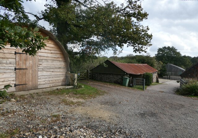
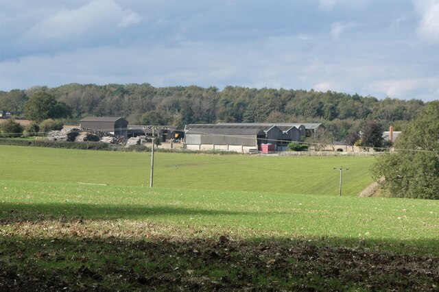
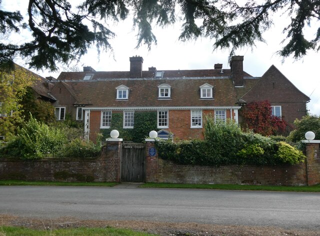
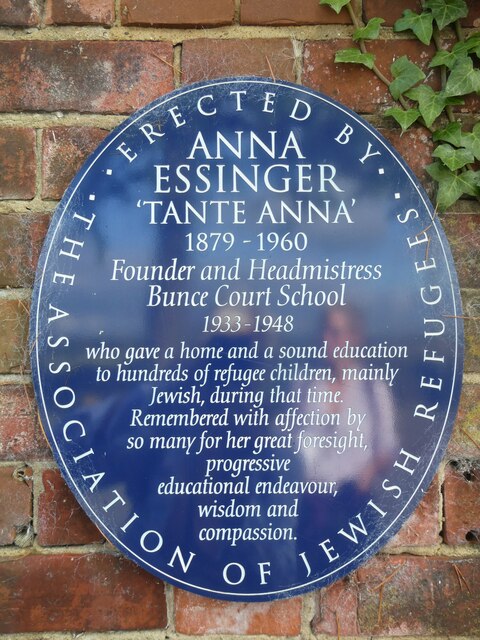
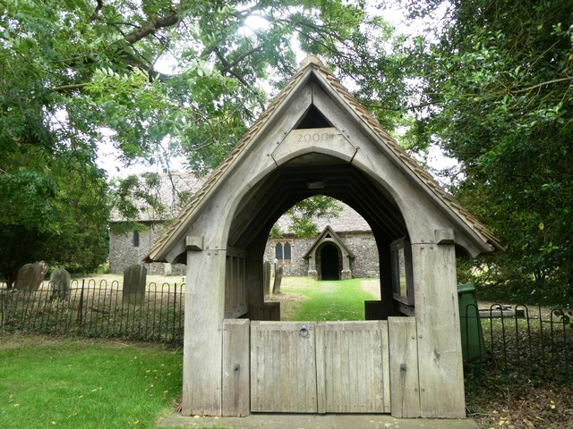
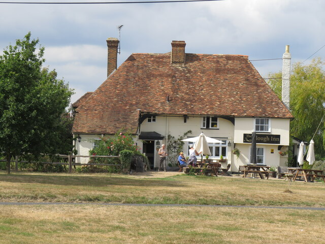
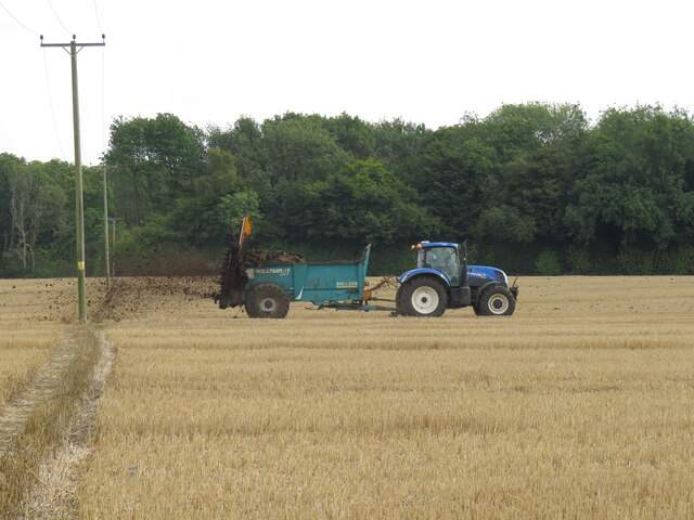
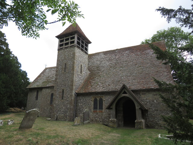
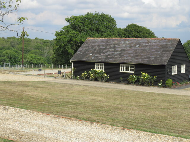
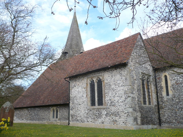
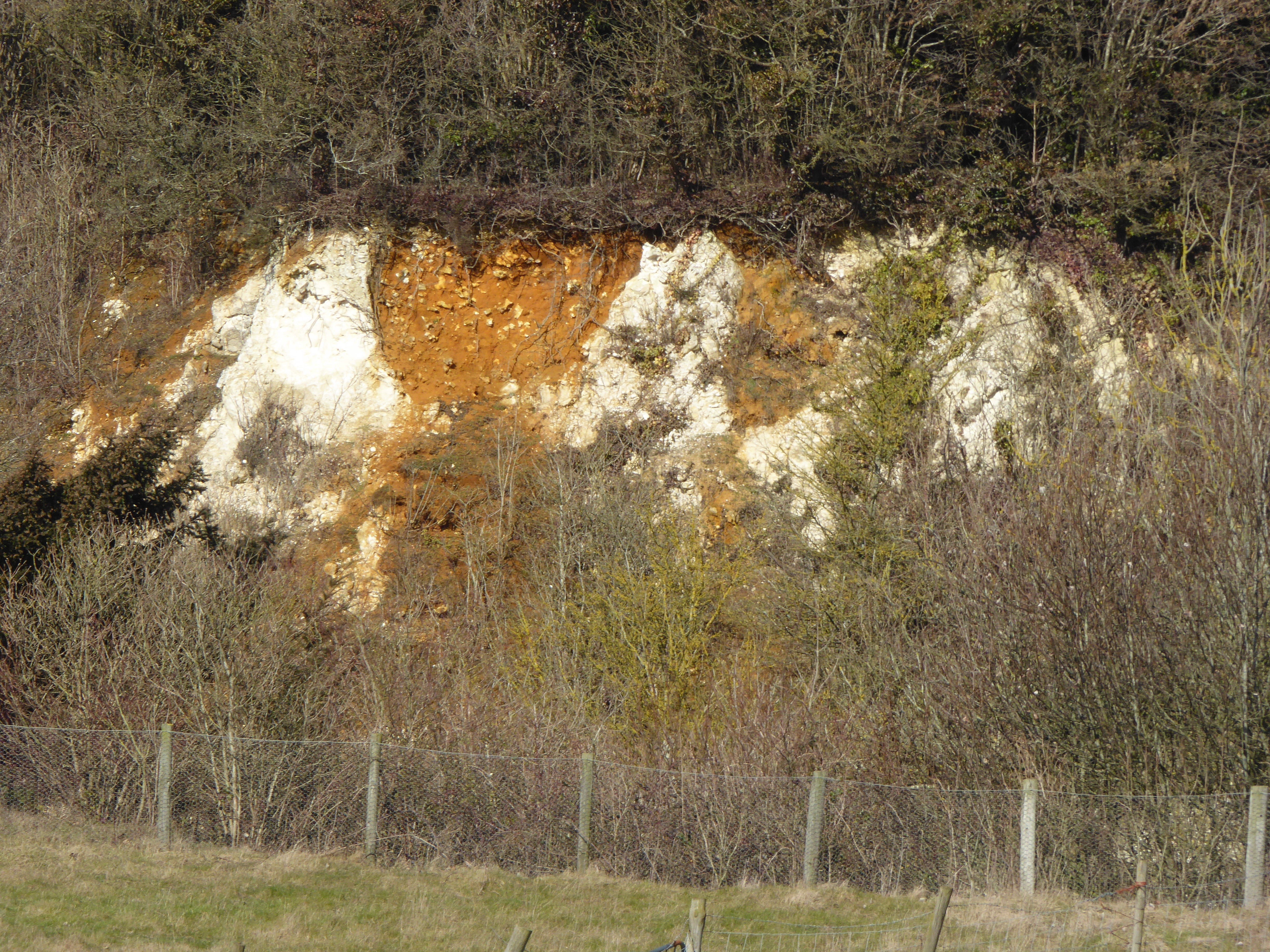
Allbox Wood Images

Images are sourced within 2km of 51.2478/0.79588754 or Grid Reference TQ9553. Thanks to Geograph Open Source API. All images are credited.

Cuckoo Wood Farm,  near Warren Street On Cold Harbour Road.
Cuckoo Wood Farm, near Warren Street
On Cold Harbour Road.
Hurst Farm, east of Warren Street Viewed from Bunce Court Road.
Hurst Farm, east of Warren Street
Viewed from Bunce Court Road.
Bunce Court Old House, near Warren Street On Bunce Court Road.
Bunce Court Old House, near Warren Street
On Bunce Court Road.
Plaque to Anna Essinger, Bunce Court Erected by the Association of Jewish Refugees. <span class="nowrap"><a title="https://en.wikipedia.org/wiki/Anna_Essinger" rel="nofollow ugc noopener" href="https://en.wikipedia.org/wiki/Anna_Essinger">Link</a><img style="margin-left:2px;" alt="External link" title="External link - shift click to open in new window" src="https://s1.geograph.org.uk/img/external.png" width="10" height="10"/></span>
Plaque to Anna Essinger, Bunce Court
Erected by the Association of Jewish Refugees. LinkExternal link
Bunce Court Road Leading to Warren Street.
Bunce Court Road
Leading to Warren Street.
Footpath running between Bunce Court Road and Warren Street Blossomer House is on the right.
Footpath running between Bunce Court Road and Warren Street
Blossomer House is on the right.
Footpath running between Bunce Court Road and Warren Street Blossomer House is in the distance.
Footpath running between Bunce Court Road and Warren Street
Blossomer House is in the distance.
Eastling: Frith farmhouse
Eastling: Frith farmhouse garden
Felled trees in Spuckles Wood, Stalisfield Kent Wildlife Trust is identifying ash trees affected by the ash die back fungal disease and managing the trees that present the greatest risk to public safety              in Spuckles, Kennelling and Bowls Woods.
Felled trees in Spuckles Wood, Stalisfield
Kent Wildlife Trust is identifying ash trees affected by the ash die back fungal disease and managing the trees that present the greatest risk to public safety in Spuckles, Kennelling and Bowls Woods.
Footpath through a barley field, Stalisfield The path runs between Thorneycroft Road and Church Road.
Footpath through a barley field, Stalisfield
The path runs between Thorneycroft Road and Church Road.
Crop of barley, Stalisfield East of Spuckles Wood.
Crop of barley, Stalisfield
East of Spuckles Wood.
Farmland, Stalisfield Looking towards Hillside Road.
Farmland, Stalisfield
Looking towards Hillside Road.
St. Mary's Church, Stalisfield A Grade II* listed building, 13th century and restored in 1904.
St. Mary's Church, Stalisfield
A Grade II* listed building, 13th century and restored in 1904.
The Plough at Stalisfield May take some finding but well worth the effort!
The Plough at Stalisfield
May take some finding but well worth the effort!
Muck spreading at Stalisfield Several tractor-trailers busy spreading much across the corn fields -  hard for walkers to keep boots clean!
Muck spreading at Stalisfield
Several tractor-trailers busy spreading much across the corn fields - hard for walkers to keep boots clean!
Stalisfield Church Some distance from the village so no surprise to find it locked.
Stalisfield Church
Some distance from the village so no surprise to find it locked.
Barn at Parsonage Farm A 'redundant' farm given a new use?
Barn at Parsonage Farm
A 'redundant' farm given a new use?
Show me another place!

Allbox Wood is located at Grid Ref: TQ9553 (Lat: 51.2478, Lng: 0.79588754)

Administrative County: Kent

District: Swale

Police Authority: Kent

What 3 Words

///float.halt.gurgling. Near Charing, Kent

Related Wikis

Faversham and Mid Kent (UK Parliament constituency)

Faversham and Mid Kent is a constituency represented in the House of Commons of the UK Parliament. Since 2015, the seat has been held by Helen Whately...

Otterden

Otterden is a civil parish and village on the Kent Downs in the borough of Maidstone in Kent, England. == History == Otterden is mentioned in the Domesday...

Spuckles and Kennelling Woods

Spuckles and Kennelling Woods is a 20-hectare (49-acre) nature reserve north of Charing in Kent. It is managed by Kent Wildlife Trust. It is in the Kent...

Stalisfield

Stalisfield is a village in the borough of Swale in Kent, England, located on a secondary road about 1½ miles (2.4 km) north of Charing and 5 miles south...

Bunce Court School

The Bunce Court School was an independent, private boarding school in the village of Otterden, in Kent, England. It was founded in 1933 by Anna Essinger...

Newnham, Kent

Newnham is a village and civil parish in the Syndale valley in Kent, England, in the administrative borough of Swale near the medieval market town of Faversham...

Eastling

Eastling is a small village 4½ miles to the southwest of Faversham, Kent in England. It is set in a designated Area of Outstanding Natural Beauty on the...

Hart Hill, Kent

Hart Hill is a 1.4-hectare (3.5-acre) geological Site of Special Scientific Interest north-west of Charing Kent. It is a Geological Conservation Review...

Nearby Amenities

Located within 500m of 51.2478,0.79588754
Bus Stop
Gravel Hill
Flag: no
Naptan AtcoCode: 2400A037960A
Naptan Bearing: NE
Naptan BusStopType: CUS
Naptan CommonName: Gravel Hill
Naptan Indicator: NE-bound
Naptan Landmark: Otterden Rd
Naptan NaptanCode: kntdpdjw
Naptan Street: Gravel Hill
Naptan Verified: no
Public Transport: platform
Source: naptan_import
Lat/Long: 51.2514599/0.7920394
The data included in this document is from www.openstreetmap.org. The data is made available under ODbL.

Have you been to Allbox Wood?

Leave your review of Allbox Wood below (or comments, questions and feedback).