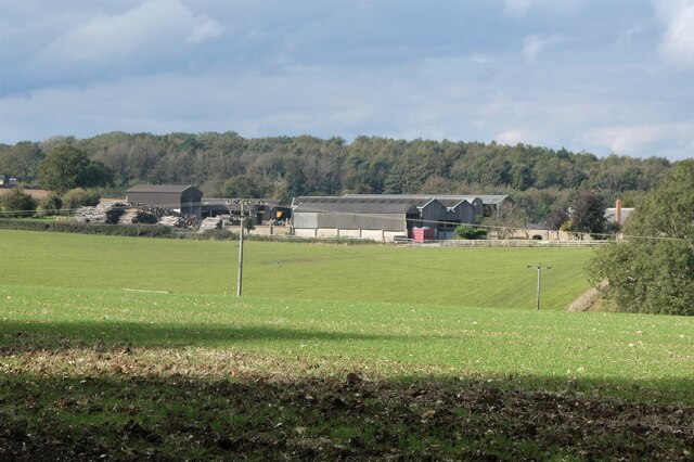
Gravelhill Wood
Wood, Forest in Kent Swale
England
Gravelhill Wood
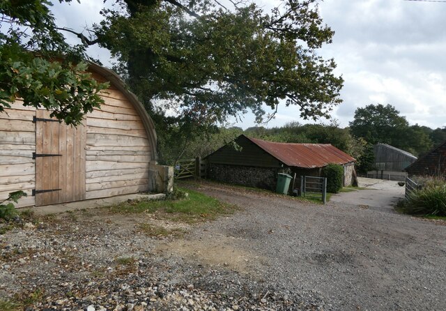
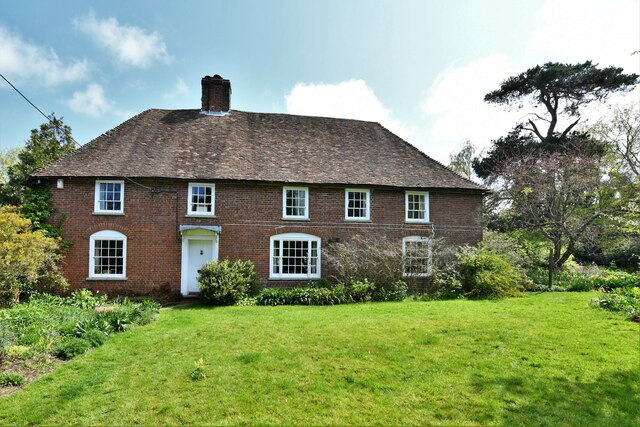
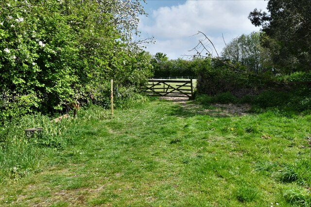
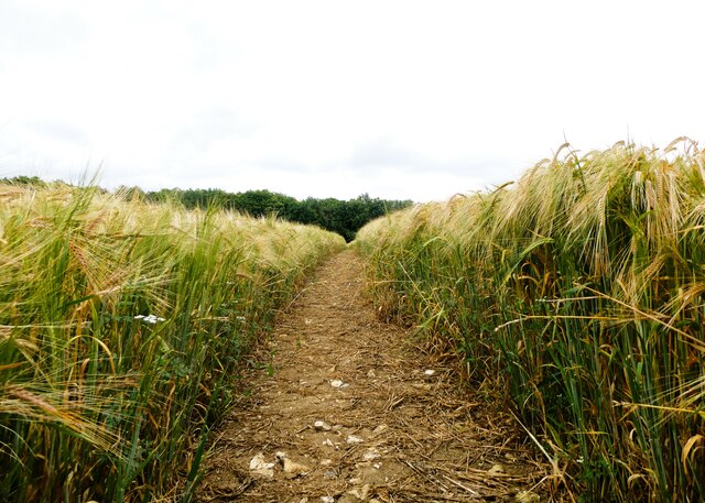
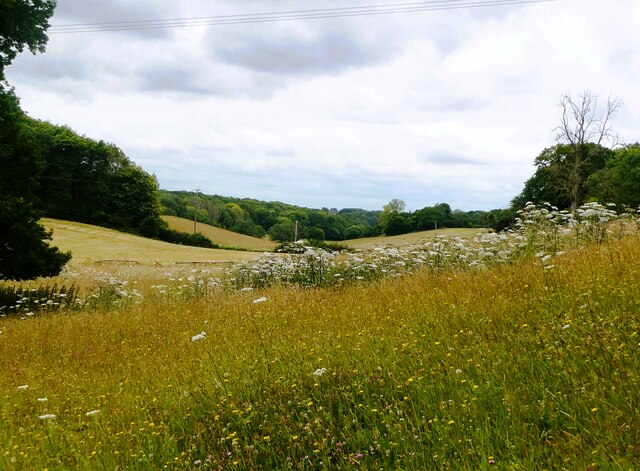
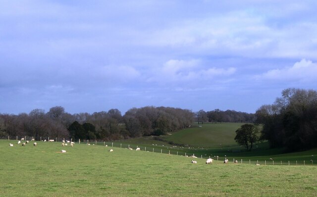
Gravelhill Wood is a pristine woodland located in Kent, a county in southeastern England. This enchanting forest covers an area of approximately 100 acres and is renowned for its natural beauty and diverse ecosystem. It is nestled in the heart of the Kent Downs, an Area of Outstanding Natural Beauty.
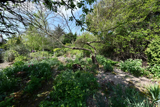
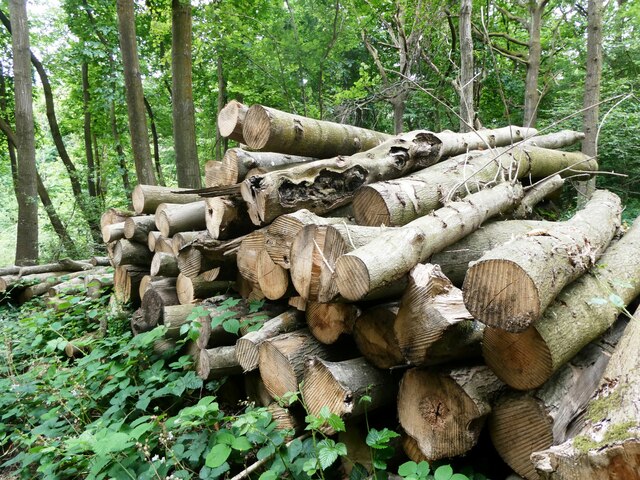
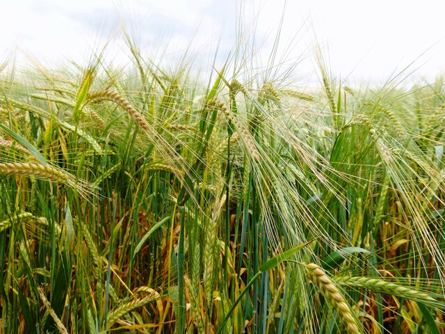
The wood is predominantly made up of broadleaf trees, such as oak, beech, and birch, which provide a rich and verdant canopy. The forest floor is adorned with a tapestry of bluebells, wild garlic, and various ferns, creating a picturesque scene in the spring and summer months.
Gravelhill Wood is a haven for wildlife enthusiasts and nature lovers alike. The dense foliage offers a sanctuary for numerous species of birds, including woodpeckers, owls, and songbirds. Foxes, badgers, and rabbits are also commonly spotted within the wood, adding to its charm and allure.
Numerous walking trails wind their way through the wood, allowing visitors to immerse themselves in its tranquility and explore its hidden corners. These paths are well-maintained and suitable for both leisurely strolls and more adventurous hikes. The wood also features a picnic area, where visitors can relax and enjoy a meal surrounded by the sights and sounds of nature.
Gravelhill Wood offers a peaceful retreat from the hustle and bustle of everyday life, providing an opportunity to reconnect with nature and unwind in a truly idyllic setting. Its natural beauty and abundant wildlife make it a must-visit destination for anyone seeking a slice of tranquility in the heart of Kent.
If you have any feedback on the listing, please let us know in the comments section below.
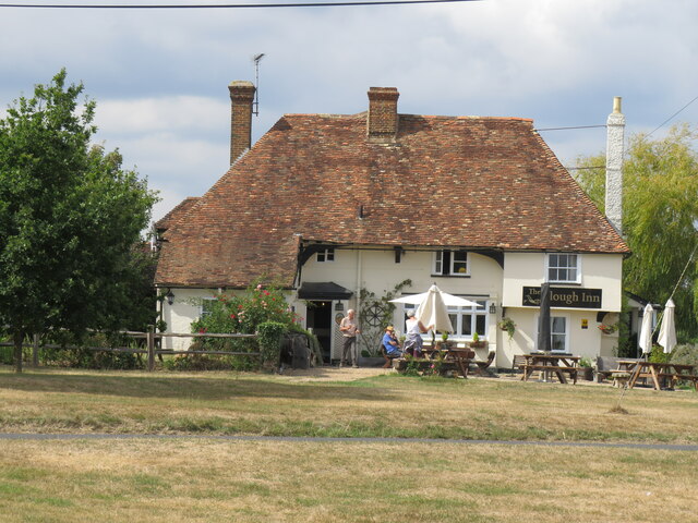
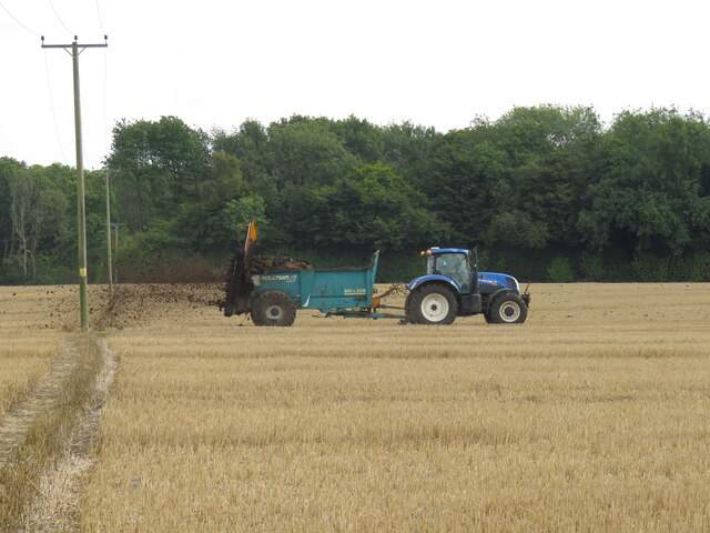
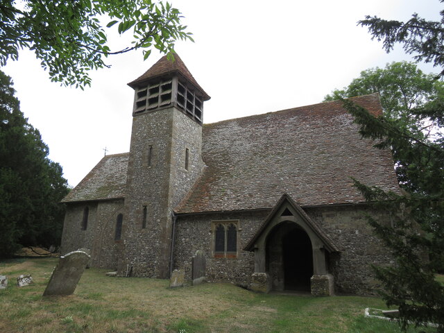
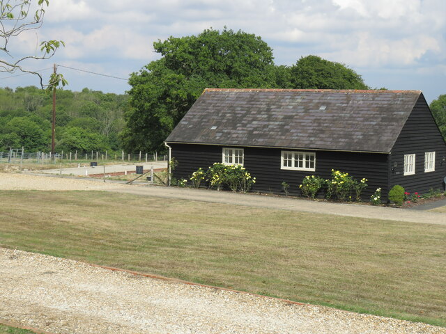
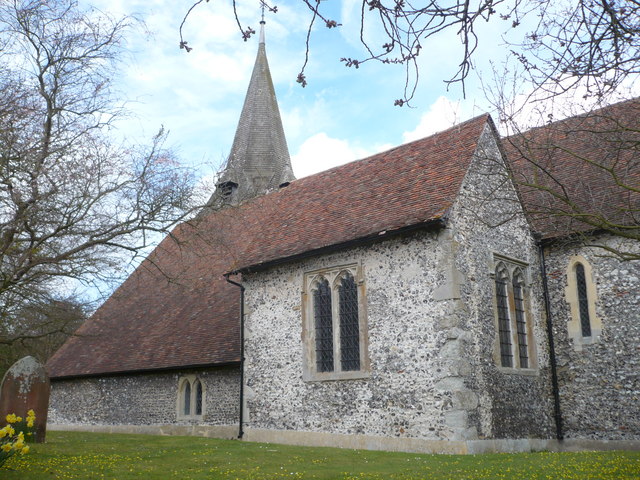
Gravelhill Wood Images
Images are sourced within 2km of 51.250179/0.79947148 or Grid Reference TQ9553. Thanks to Geograph Open Source API. All images are credited.

Gravelhill Wood is located at Grid Ref: TQ9553 (Lat: 51.250179, Lng: 0.79947148)
Administrative County: Kent
District: Swale
Police Authority: Kent
What 3 Words
///ozone.pelt.flotation. Near Charing, Kent
Nearby Locations
Related Wikis

Faversham and Mid Kent (UK Parliament constituency)
Faversham and Mid Kent is a constituency represented in the House of Commons of the UK Parliament. Since 2015, the seat has been held by Helen Whately...

Otterden
Otterden is a civil parish and village on the Kent Downs in the borough of Maidstone in Kent, England. == History == Otterden is mentioned in the Domesday...

Stalisfield
Stalisfield is a village in the borough of Swale in Kent, England, located on a secondary road about 1½ miles (2.4 km) north of Charing and 5 miles south...

Spuckles and Kennelling Woods
Spuckles and Kennelling Woods is a 20-hectare (49-acre) nature reserve north of Charing in Kent. It is managed by Kent Wildlife Trust. It is in the Kent...
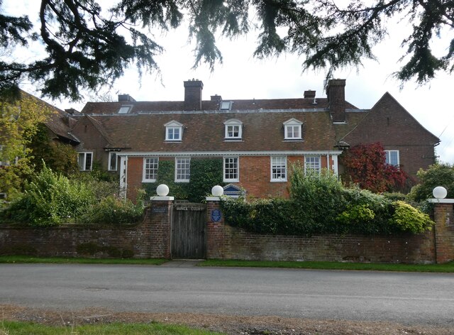
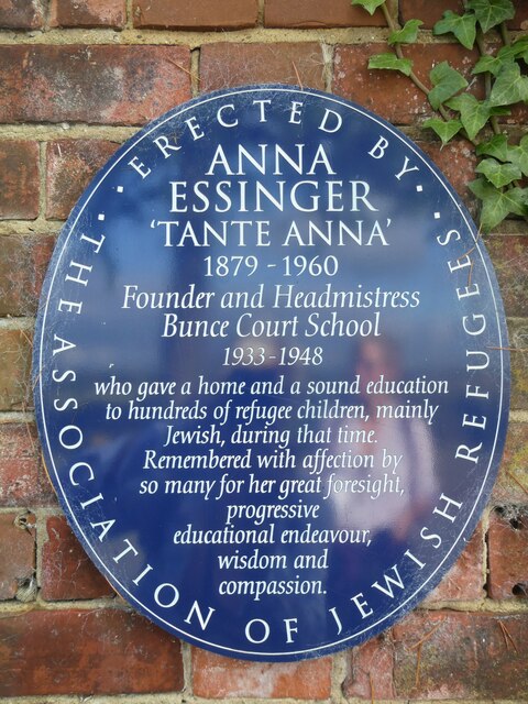
Bunce Court School
The Bunce Court School was an independent, private boarding school in the village of Otterden, in Kent, England. It was founded in 1933 by Anna Essinger...
Newnham, Kent
Newnham is a village and civil parish in the Syndale valley in Kent, England, in the administrative borough of Swale near the medieval market town of Faversham...

Eastling
Eastling is a small village 4½ miles to the southwest of Faversham, Kent in England. It is set in a designated Area of Outstanding Natural Beauty on the...
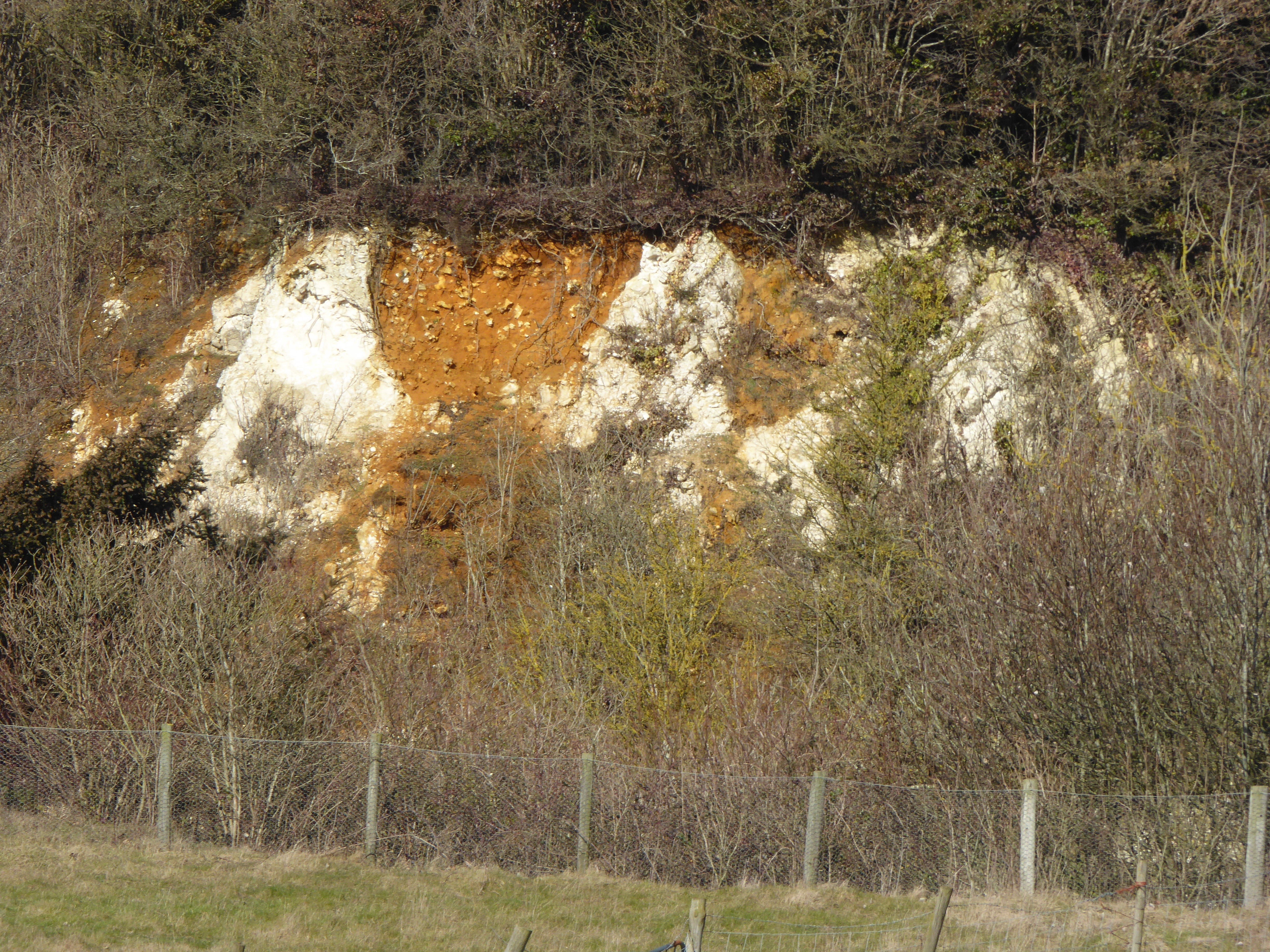
Hart Hill, Kent
Hart Hill is a 1.4-hectare (3.5-acre) geological Site of Special Scientific Interest north-west of Charing Kent. It is a Geological Conservation Review...
Nearby Amenities
Located within 500m of 51.250179,0.79947148Have you been to Gravelhill Wood?
Leave your review of Gravelhill Wood below (or comments, questions and feedback).