Otterden Wood
Wood, Forest in Kent Swale
England
Otterden Wood
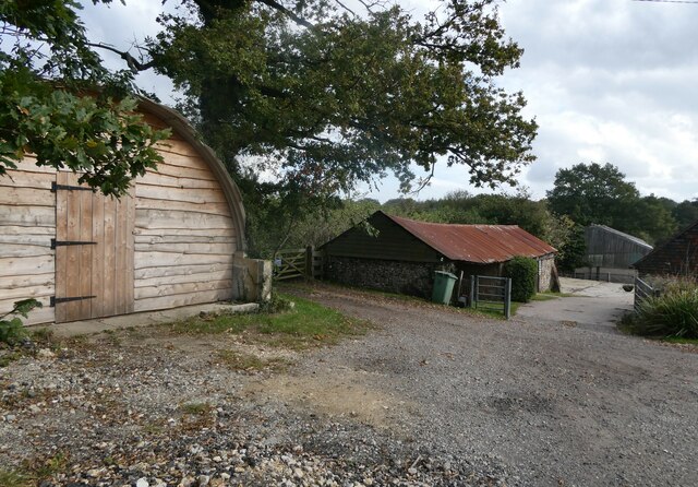
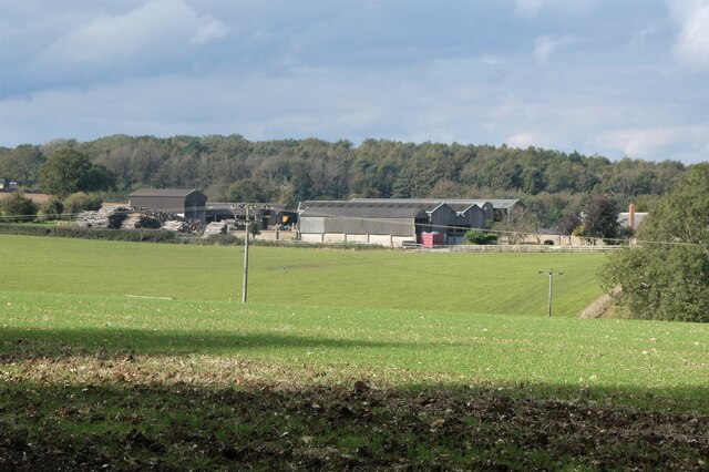
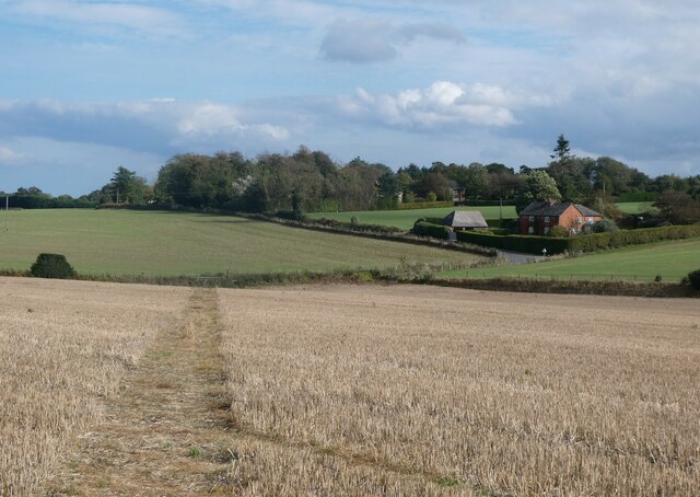
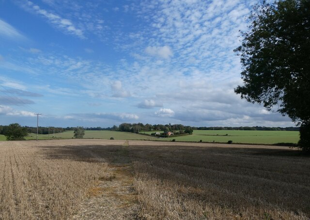
Otterden Wood, located in Kent, England, is a stunning natural gem that spans an area of approximately 400 acres. This ancient woodland is a haven for nature enthusiasts, offering a diverse range of flora and fauna within its boundaries. It is situated near the village of Otterden, which lends its name to the wood.
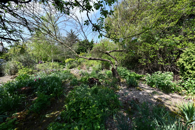
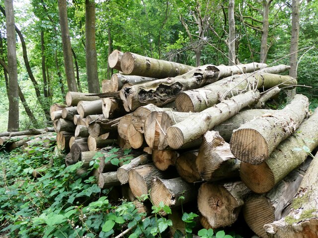
The woodland is characterized by a mixture of broadleaf trees, including oak, beech, ash, and hornbeam, which create a dense canopy overhead. These trees have stood for centuries, providing a rich habitat for various woodland creatures such as deer, foxes, badgers, and a plethora of bird species.
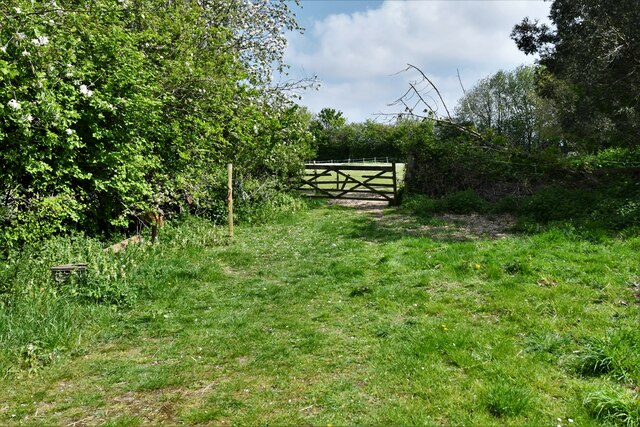
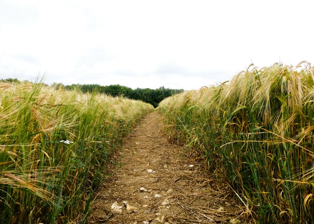
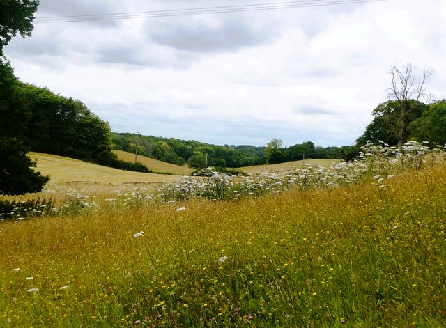
Visitors to Otterden Wood can enjoy exploring the network of well-maintained footpaths that wind their way through the wood, allowing them to immerse themselves in the tranquil surroundings. The woodland is particularly enchanting during the spring months when bluebells carpet the forest floor, creating a breathtakingly beautiful sight.
In addition to its natural beauty, Otterden Wood also holds historical significance. The wood is believed to have been part of a larger hunting forest during medieval times and remnants of this history can still be seen today. There are traces of ancient earthworks, ditches, and ridges that hint at the area's past use for hunting and woodland management.
Managed by the Woodland Trust, Otterden Wood is an important conservation site, with efforts focused on maintaining the delicate balance of its ecosystem. The wood serves as a vital habitat for numerous rare and protected species, contributing to the overall biodiversity of the region.
Overall, Otterden Wood is a captivating destination for nature lovers, history enthusiasts, and those seeking a peaceful retreat amidst the beauty of Kent's countryside.
If you have any feedback on the listing, please let us know in the comments section below.
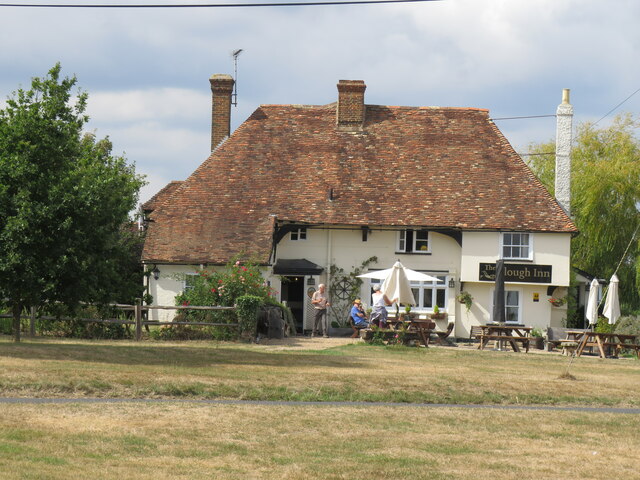
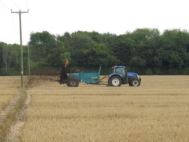
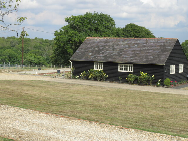
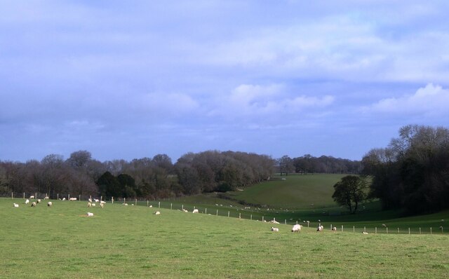
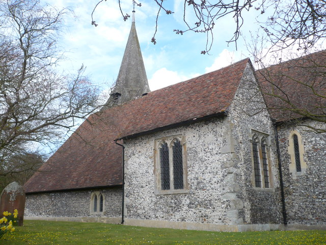
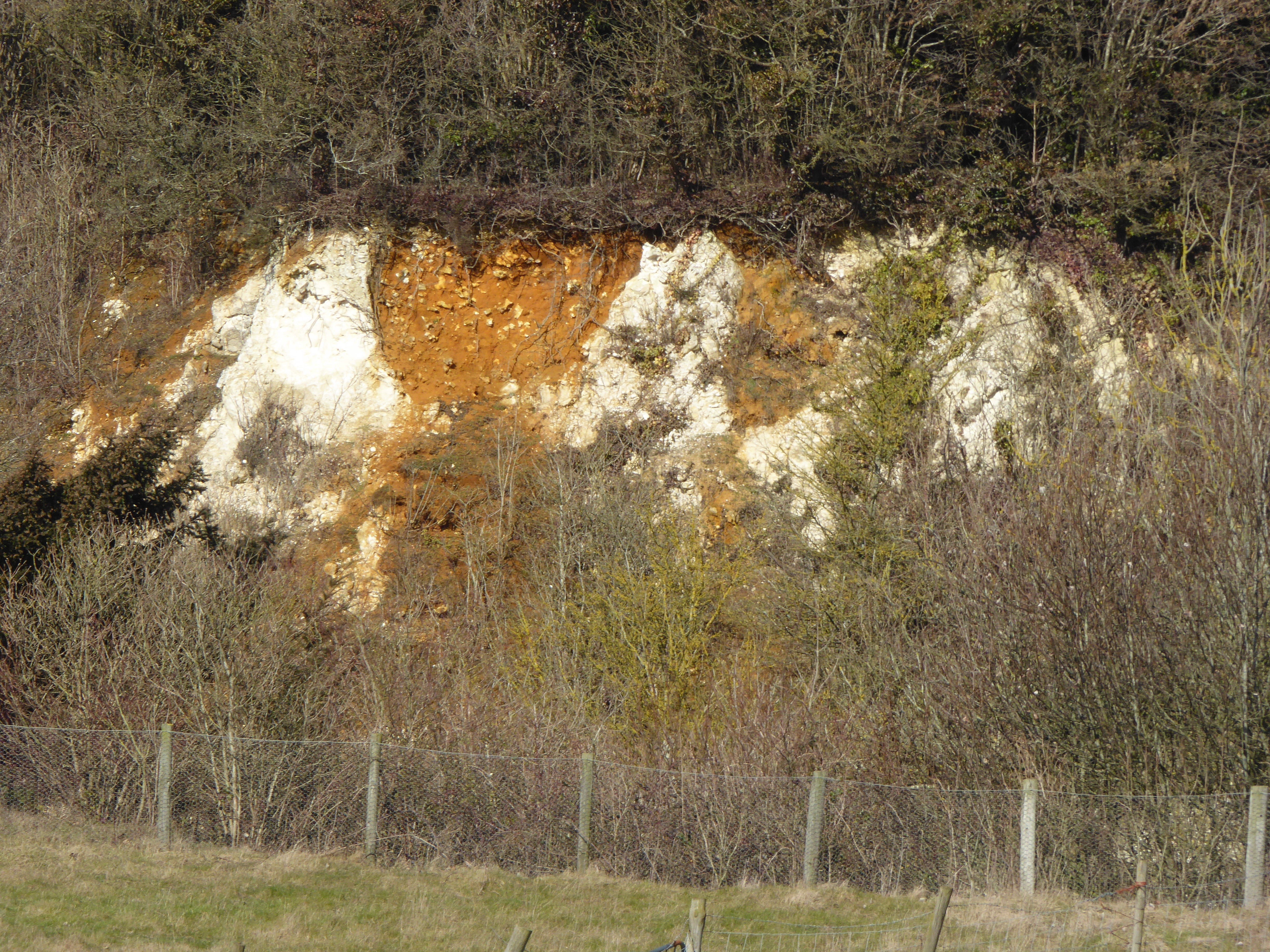
Otterden Wood Images
Images are sourced within 2km of 51.24952/0.7928103 or Grid Reference TQ9553. Thanks to Geograph Open Source API. All images are credited.


Otterden Wood is located at Grid Ref: TQ9553 (Lat: 51.24952, Lng: 0.7928103)
Administrative County: Kent
District: Swale
Police Authority: Kent
What 3 Words
///unfair.amused.shepherdess. Near Charing, Kent
Nearby Locations
Related Wikis

Faversham and Mid Kent (UK Parliament constituency)
Faversham and Mid Kent is a constituency represented in the House of Commons of the UK Parliament. Since 2015, the seat has been held by Helen Whately...

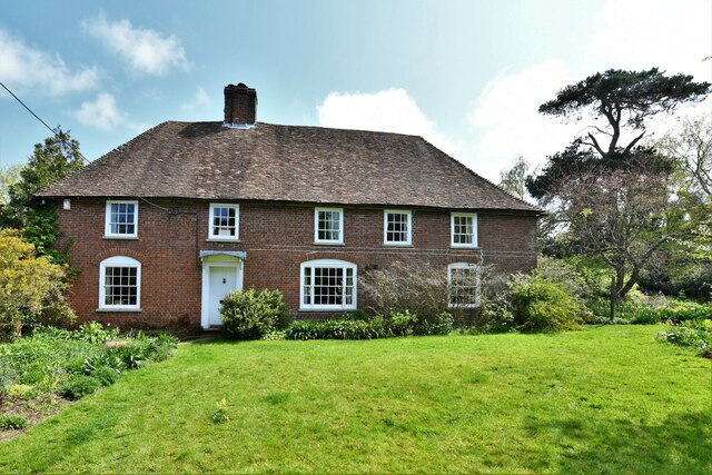
Otterden
Otterden is a civil parish and village on the Kent Downs in the borough of Maidstone in Kent, England. == History == Otterden is mentioned in the Domesday...
Bunce Court School
The Bunce Court School was an independent, private boarding school in the village of Otterden, in Kent, England. It was founded in 1933 by Anna Essinger...

Spuckles and Kennelling Woods
Spuckles and Kennelling Woods is a 20-hectare (49-acre) nature reserve north of Charing in Kent. It is managed by Kent Wildlife Trust. It is in the Kent...

Stalisfield
Stalisfield is a village in the borough of Swale in Kent, England, located on a secondary road about 1½ miles (2.4 km) north of Charing and 5 miles south...
Newnham, Kent
Newnham is a village and civil parish in the Syndale valley in Kent, England, in the administrative borough of Swale near the medieval market town of Faversham...

Eastling
Eastling is a small village 4½ miles to the southwest of Faversham, Kent in England. It is set in a designated Area of Outstanding Natural Beauty on the...
Hart Hill, Kent
Hart Hill is a 1.4-hectare (3.5-acre) geological Site of Special Scientific Interest north-west of Charing Kent. It is a Geological Conservation Review...
Nearby Amenities
Located within 500m of 51.24952,0.7928103Have you been to Otterden Wood?
Leave your review of Otterden Wood below (or comments, questions and feedback).