The Leys

Area in Glamorgan

Wales

The Leys

Tidal flats near East Aberthaw
Tidal flats near East Aberthaw Credit: Alan Hughes

The Leys is a residential area located in Glamorgan, Wales. It is situated in the southern part of the county, near the town of Barry. The area is known for its quiet and peaceful atmosphere, making it an ideal place for families and individuals looking for a serene environment.

The Leys is primarily made up of detached and semi-detached houses, with a few apartment complexes scattered throughout. The properties in this area are well-maintained and often have spacious gardens, providing residents with ample outdoor space. The streets are lined with trees, contributing to the overall green and natural feel of the neighborhood.

The area benefits from its proximity to various amenities and facilities. Within a short distance, residents can find schools, including primary and secondary options, making it convenient for families with children. There are also several parks and green spaces nearby, offering recreational opportunities for residents to enjoy outdoor activities.

In terms of transportation, The Leys is well-connected to the rest of Glamorgan and nearby towns. There are bus routes that serve the area, providing easy access to public transportation. Additionally, the M4 motorway is conveniently located nearby, allowing for easy travel by car to other parts of Wales and beyond.

Overall, The Leys in Glamorgan offers a peaceful residential environment with a range of amenities and easy access to transportation links, making it an attractive place to live for families and individuals seeking a tranquil lifestyle.

If you have any feedback on the listing, please let us know in the comments section below.
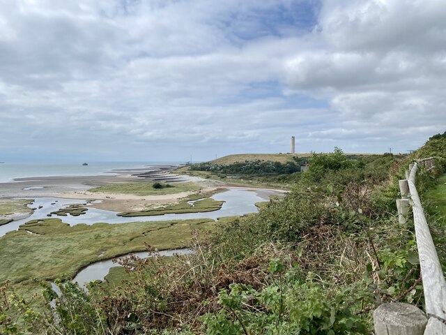
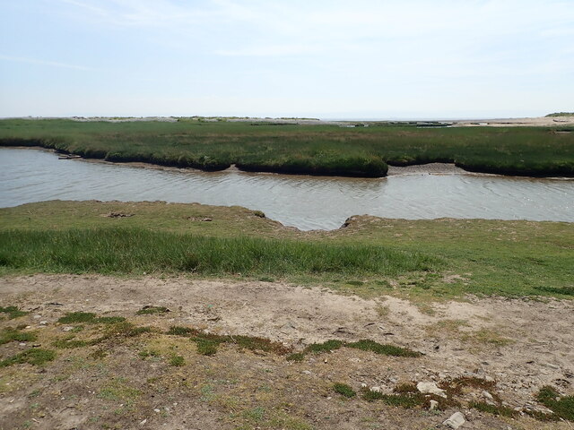
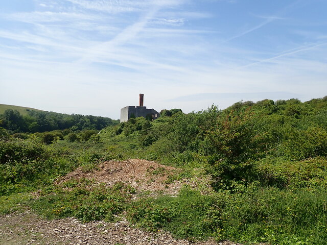
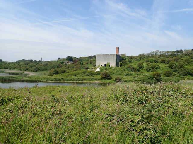
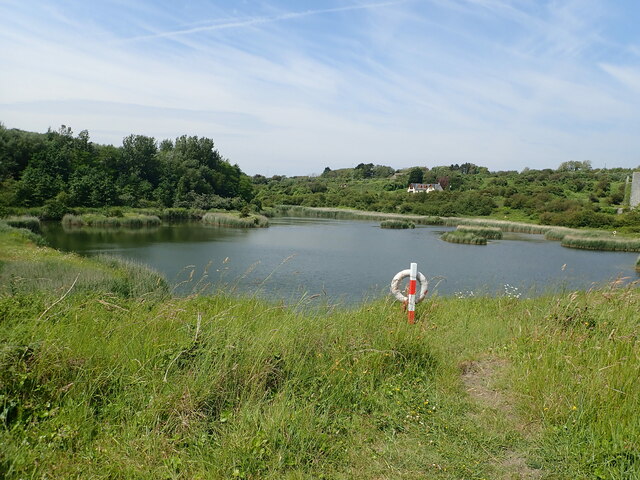
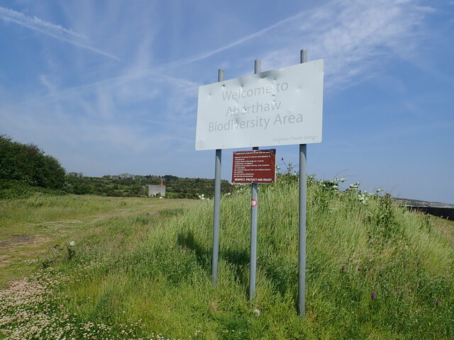
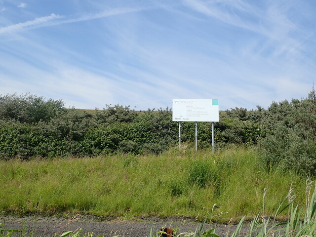
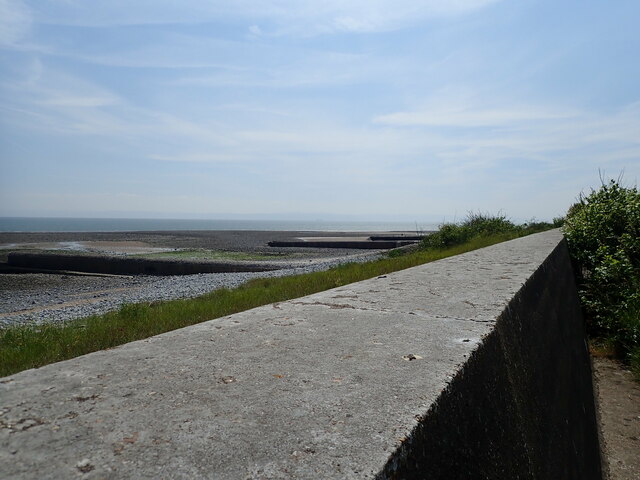
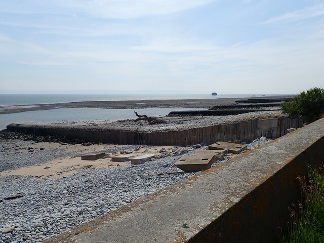
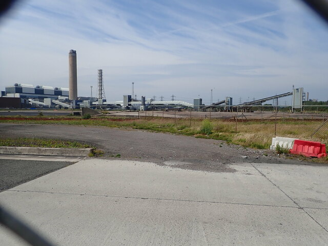
The Leys Images

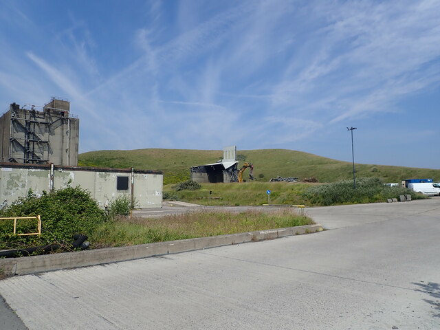
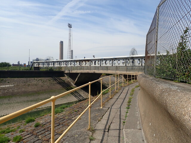
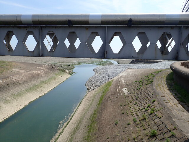
Images are sourced within 2km of 51.3858/-3.393 or Grid Reference ST0266. Thanks to Geograph Open Source API. All images are credited.

Tidal flats near East Aberthaw
WW1 Memorial at former St Athan Boys' Village The Boys' Village opened in 1925 as a holiday home for up to 180 boys from families of the working class in South Wales. 
The Boys' Club movement (now Clubs for Young People Wales) had been started in the early 1920s by Captain J Glynn-Jones and David Davies of Llandinam. Davies was the chair of the Ocean Coal Company and Glynn-Jones was its Welfare Officer.
The memorial was erected as part of the construction of the camp to commemorate the youth of all nations who died in the First World War. It was located at the focal point of the village within a formal landscaped garden with the village buildings surrounding. It was later amended with the dates of World War II.
The Club closed in 1990 and is badly vandalised. The memorial is a grade II listed building.
WW1 Memorial at former St Athan Boys' Village
The Boys' Village opened in 1925 as a holiday home for up to 180 boys from families of the working class in South Wales. The Boys' Club movement (now Clubs for Young People Wales) had been started in the early 1920s by Captain J Glynn-Jones and David Davies of Llandinam. Davies was the chair of the Ocean Coal Company and Glynn-Jones was its Welfare Officer. The memorial was erected as part of the construction of the camp to commemorate the youth of all nations who died in the First World War. It was located at the focal point of the village within a formal landscaped garden with the village buildings surrounding. It was later amended with the dates of World War II. The Club closed in 1990 and is badly vandalised. The memorial is a grade II listed building.
Steps to the beach at Fontygary Bay
Fontygary Leisure Park Access to the holiday complex from the beach
Fontygary Leisure Park
Access to the holiday complex from the beach
Watch House Beach Near Fontygary Leisure Park
Watch House Beach
Near Fontygary Leisure Park
Saltmarsh, Andrew's Pant
Channel in the tidal flats at East Aberthaw
Lime works at Aberthaw The lime works opened in 1888 and closed in 1926. This is now a listed building, Grade II, as a well preserved C19 structure from an important regional industry. <span class="nowrap"><a title="https://britishlistedbuildings.co.uk/300083144-aberthaw-lime-and-cement-works-rhoose#.YajM1WDP02w" rel="nofollow ugc noopener" href="https://britishlistedbuildings.co.uk/300083144-aberthaw-lime-and-cement-works-rhoose#.YajM1WDP02w">Link</a><img style="margin-left:2px;" alt="External link" title="External link - shift click to open in new window" src="https://s1.geograph.org.uk/img/external.png" width="10" height="10"/></span>
Lime works at Aberthaw
The lime works opened in 1888 and closed in 1926. This is now a listed building, Grade II, as a well preserved C19 structure from an important regional industry. LinkExternal link
Lime works at Aberthaw Another view of the lime works <a href="https://www.geograph.org.uk/photo/7033788">ST0366 : Lime works at Aberthaw</a> showing its west face and the kiln openings. The area and ponds near the lime works is now Aberthaw Nature Reserve
Lime works at Aberthaw
Another view of the lime works ST0366 : Lime works at Aberthaw showing its west face and the kiln openings. The area and ponds near the lime works is now Aberthaw Nature Reserve
Pond at Aberthaw Nature Reserve
Sign - Aberthaw Biodiversity Area The derelict lime works in the distance
Sign - Aberthaw Biodiversity Area
The derelict lime works in the distance
Warning sign near the Wales Coast Path Over the other side of the hedge is a grass-seeded ash hill, from the nearby power station.
Warning sign near the Wales Coast Path
Over the other side of the hedge is a grass-seeded ash hill, from the nearby power station.
Sea wall and groynes, Leys Beach
Concrete groynes at Leys Beach Reinforced with wood
Concrete groynes at Leys Beach
Reinforced with wood
View through a chain-link fence Aberthaw Power Station was a coal-fired power plant, it generated enough power to meet the needs of 1.5 million households. It closed in March 2020 and is now being decommissoned
View through a chain-link fence
Aberthaw Power Station was a coal-fired power plant, it generated enough power to meet the needs of 1.5 million households. It closed in March 2020 and is now being decommissoned
Decommissioning at the Aberthaw Power Station
Wales Coast Path about to cross the River Thaw A footpath runs alongside the pipe bridge over the river. This is the longest river in Glamorgan and supports a healthy population of brown trout.
Wales Coast Path about to cross the River Thaw
A footpath runs alongside the pipe bridge over the river. This is the longest river in Glamorgan and supports a healthy population of brown trout.
Estuary of the River Thaw From the footbridge and pipe bridge, at Breaksea Pint
Estuary of the River Thaw
From the footbridge and pipe bridge, at Breaksea Pint
Show me another place!

The Leys is located at Grid Ref: ST0266 (Lat: 51.3858, Lng: -3.393)

Unitary Authority: The Vale of Glamorgan

Police Authority: South Wales

What 3 Words

///absorbs.player.intricate. Near Rhoose, Vale of Glamorgan

Related Wikis

River Thaw

The River Thaw (Welsh: Afon Ddawan) (also Ddaw) is a river in the Vale of Glamorgan, south Wales. At 20 kilometres/12.4 miles, it is the longest river...

Aberthaw Low Level railway station

Aberthaw Low Level railway station was the Taff Vale Railway station which served East Aberthaw, located near the north shore of the Bristol Channel in...

Aberthaw High Level railway station

Aberthaw High Level railway station was a Vale of Glamorgan Railway station operated by the Barry Railway which served Aberthaw, located near the north...
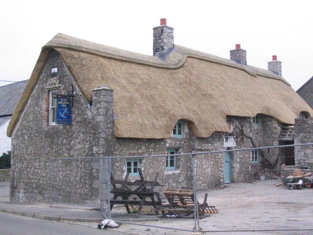
The Blue Anchor Inn

The Blue Anchor Inn is a Grade II* listed inn in Aberthaw, Vale of Glamorgan, south Wales. == History == It is a long low building with walls and low...

Nearby Amenities

Located within 500m of 51.3858,-3.393
Source: PGS
Lat/Long: 51.3826232/-3.39495
Source: PGS
Lat/Long: 51.3826088/-3.3945595
Source: PGS
Lat/Long: 51.3826082/-3.3943022
Source: PGS
Lat/Long: 51.3831559/-3.3910798
Source: PGS
Lat/Long: 51.3831292/-3.3908009
Source: PGS
Lat/Long: 51.3832717/-3.389601
Source: PGS
Lat/Long: 51.3834347/-3.3872681
Railway: switch
Lat/Long: 51.3854879/-3.3967813
Railway: switch
Lat/Long: 51.3851797/-3.3967171
Source: PGS
Lat/Long: 51.3823912/-3.3969074
Source: PGS
Lat/Long: 51.3823862/-3.3966811
Source: PGS
Lat/Long: 51.382348/-3.3964581
Source: PGS
Lat/Long: 51.3828707/-3.3961315
Aberthaw Low Level
Historic Railway: station
Railway: site
Wikidata: Q4667187
Wikipedia: en:Aberthaw Low Level railway station
Lat/Long: 51.3894451/-3.3893305
The data included in this document is from www.openstreetmap.org. The data is made available under ODbL.

Have you been to The Leys?

Leave your review of The Leys below (or comments, questions and feedback).