West Aberthaw
Settlement in Glamorgan
Wales
West Aberthaw
West Aberthaw is a small village located in the county of Glamorgan, South Wales. Situated on the rugged coastline, it lies approximately 9 miles west of Cardiff, the capital city of Wales. The village is nestled between the towns of Barry to the east and Llantwit Major to the west.
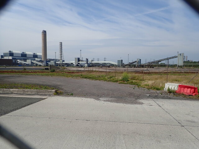
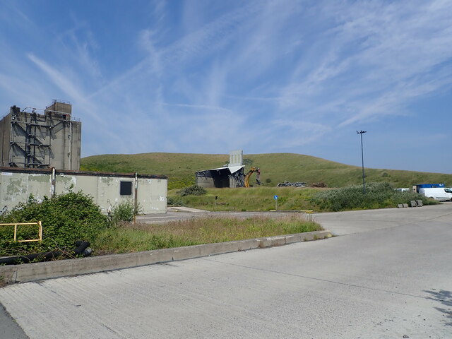
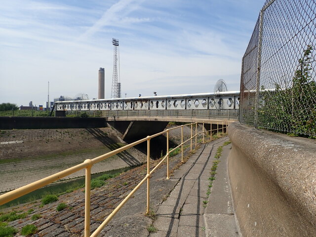
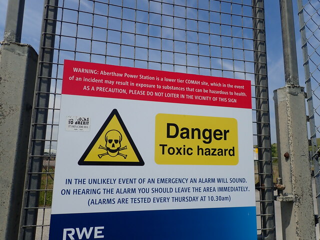
The main feature of West Aberthaw is its proximity to the Aberthaw Power Station, a coal-fired power station that has been in operation since 1971. The power station dominates the landscape and provides employment opportunities to many residents in the area. The village itself is mainly residential, with a mix of traditional cottages and more modern houses.
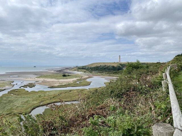
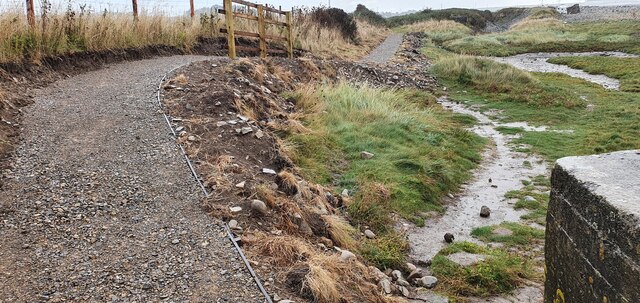
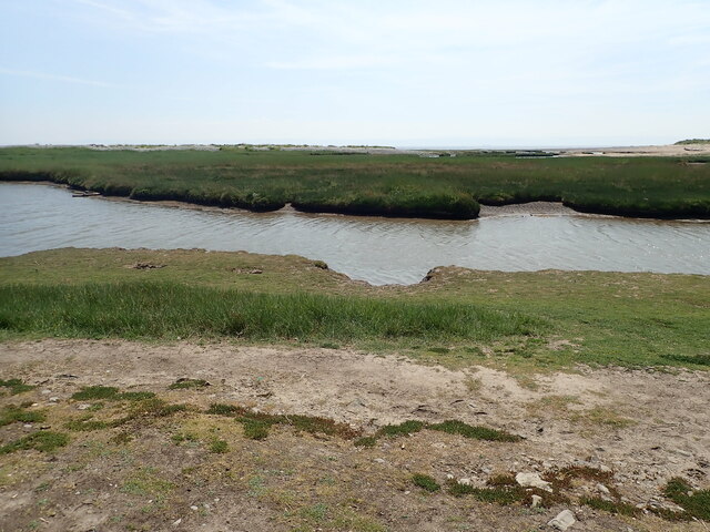
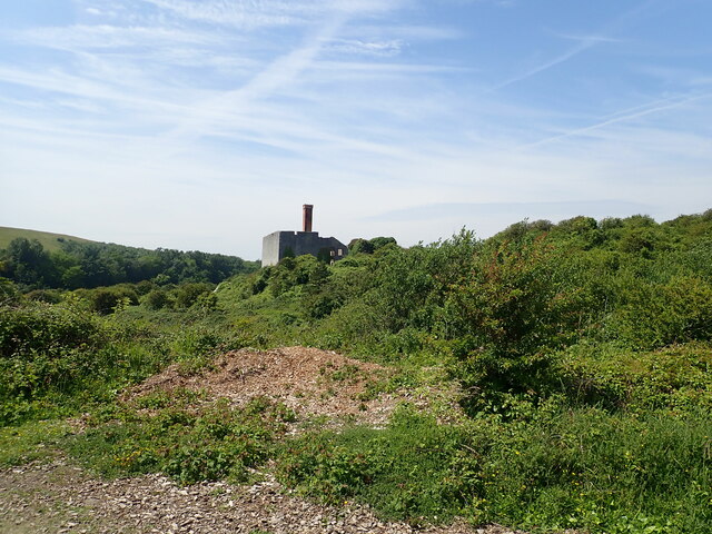
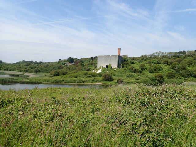
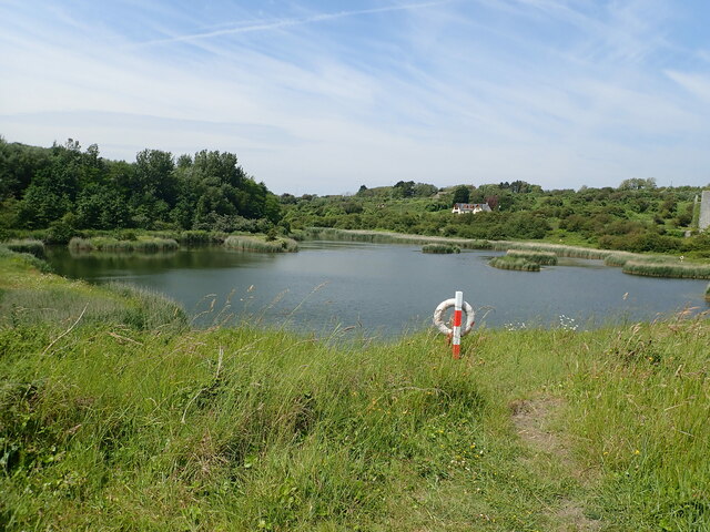
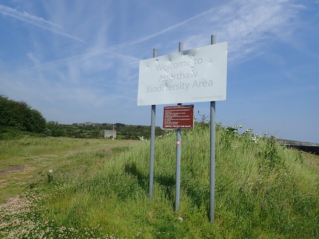
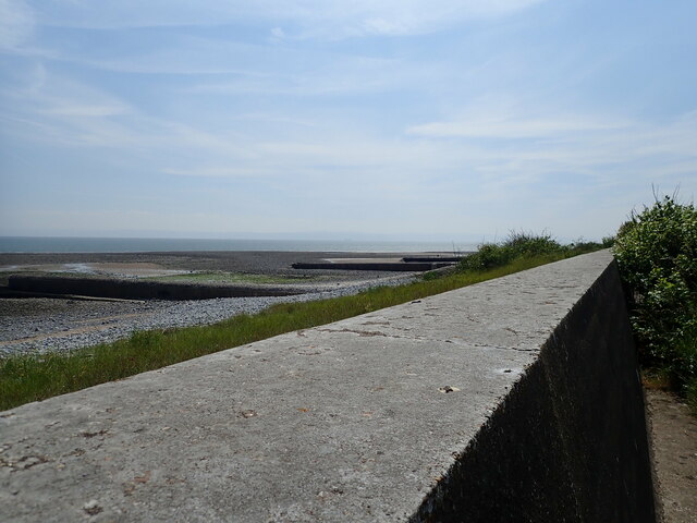
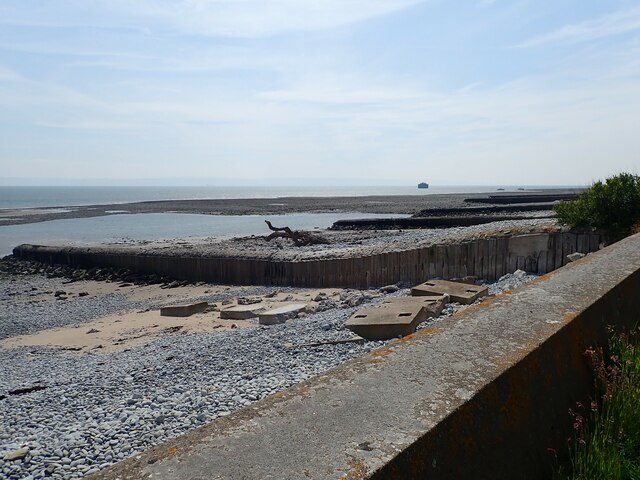
Despite its industrial surroundings, West Aberthaw boasts stunning natural beauty. The nearby coastline offers breathtaking views across the Bristol Channel, and the village is surrounded by lush countryside and farmland. The coastal path that runs through the area provides ample opportunities for outdoor activities such as walking and cycling.
West Aberthaw is well connected to the rest of the region through a network of roads and public transportation. The village has a small shop for basic amenities, but residents often rely on nearby towns for more extensive shopping needs.
In conclusion, West Aberthaw is a village in Glamorgan that combines industrial heritage with natural beauty. It offers a peaceful and picturesque setting for residents and visitors alike.
If you have any feedback on the listing, please let us know in the comments section below.
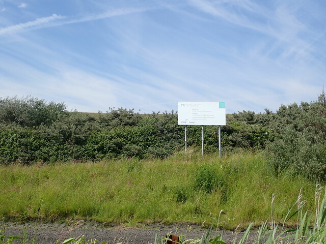
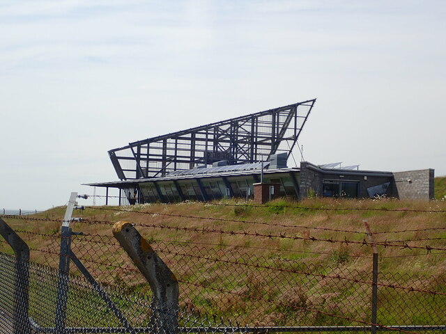
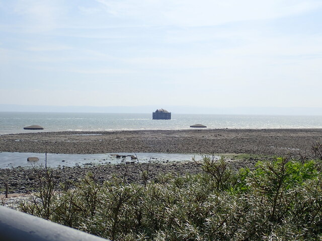
West Aberthaw Images
Images are sourced within 2km of 51.391961/-3.403042 or Grid Reference ST0266. Thanks to Geograph Open Source API. All images are credited.
West Aberthaw is located at Grid Ref: ST0266 (Lat: 51.391961, Lng: -3.403042)
Unitary Authority: The Vale of Glamorgan
Police Authority: South Wales
What 3 Words
///rafters.agree.appealing. Near Rhoose, Vale of Glamorgan
Nearby Locations
Related Wikis

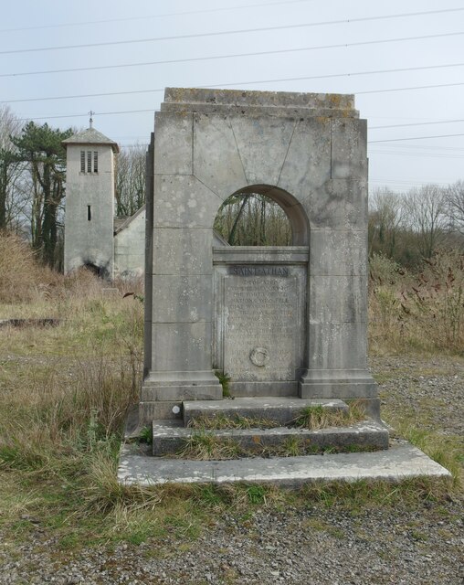
Boys Village
St Athan Boys' Village was a village-style holiday camp located in West Aberthaw, Vale of Glamorgan, Wales. == Development and operations == Philanthropist...

Aberthaw power stations
Aberthaw Power Station refers to two decommissioned coal-fired and co-fired biomass power stations on the coast of South Wales, near Barry in the Vale...

Gileston
Gileston (Welsh: Silstwn) is a small Welsh village near West Aberthaw in Bro Morgannwg (the Vale of Glamorgan) on the coast of South Wales. == Location... ==

Gileston Manor
Gileston Manor is a manor and country house located next to St Giles' Church in the small village of Gileston near St Athan, Vale of Glamorgan, Wales....

Aberthaw Cement Works
Aberthaw Cement Works are cement works in the Vale of Glamorgan near the village of East Aberthaw in Wales. == History == The Blue Lias limestone of Aberthaw...

Limpert Bay
Limpert Bay (Welsh: Bae Limpert) is a beach on the Bristol Channel which connects to Watch House Beach to the East, the line of division is the run-off...

Gileston railway station
Gileston railway station served the village of Gileston in South Wales. == Description == The station had two platforms with a building on the down platform...
Aberthaw
Aberthaw (Welsh: Aberddawan) is an area containing the villages of East Aberthaw and West Aberthaw, on the coast of South Wales about 5 miles (8 km) west...
Nearby Amenities
Located within 500m of 51.391961,-3.403042Have you been to West Aberthaw?
Leave your review of West Aberthaw below (or comments, questions and feedback).