The Leys
Settlement in Staffordshire Tamworth
England
The Leys
The Leys is a small village located in the county of Staffordshire, England. Situated near the town of Uttoxeter, it is nestled in the idyllic countryside of the East Staffordshire district. With a population of around 500 residents, The Leys offers a peaceful and close-knit community atmosphere.
The village is known for its picturesque surroundings, characterized by rolling green hills, meandering streams, and charming country cottages. The Leys is a popular destination for nature enthusiasts, as it provides ample opportunities for walking, cycling, and exploring the outdoors. The nearby Peak District National Park offers breathtaking landscapes and is a short drive away.
Despite its rural setting, The Leys is well-connected to nearby towns and cities. Uttoxeter, located just a few miles away, provides convenient access to amenities such as shops, supermarkets, schools, and healthcare facilities. The village itself boasts a local pub, the heart of social gatherings and a place to enjoy traditional food and drinks.
Historically, The Leys has been linked to agriculture, with farming being a significant part of the local economy. However, in recent years, the village has seen a diversification of industries, with a growing number of residents commuting to nearby towns for work.
Overall, The Leys offers a serene and picturesque setting, making it an attractive place to live for those seeking a tranquil countryside lifestyle while still being within reach of urban amenities.
If you have any feedback on the listing, please let us know in the comments section below.
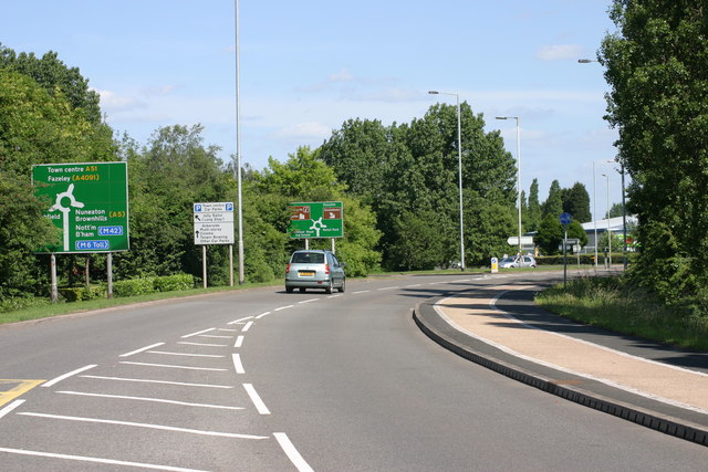
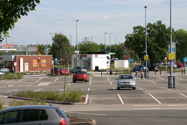
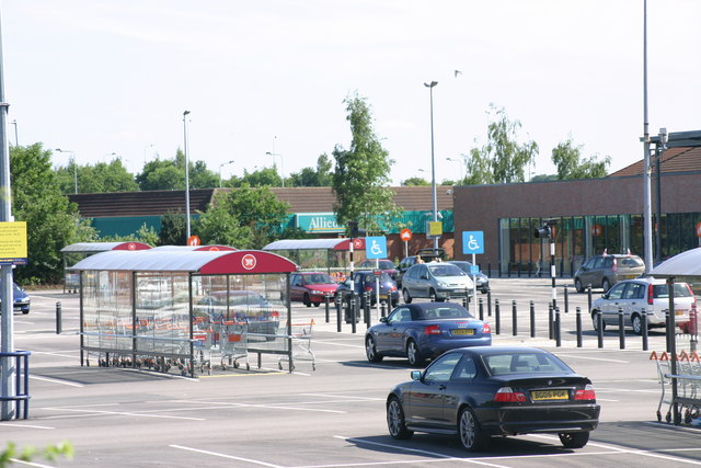
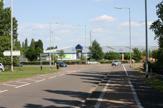
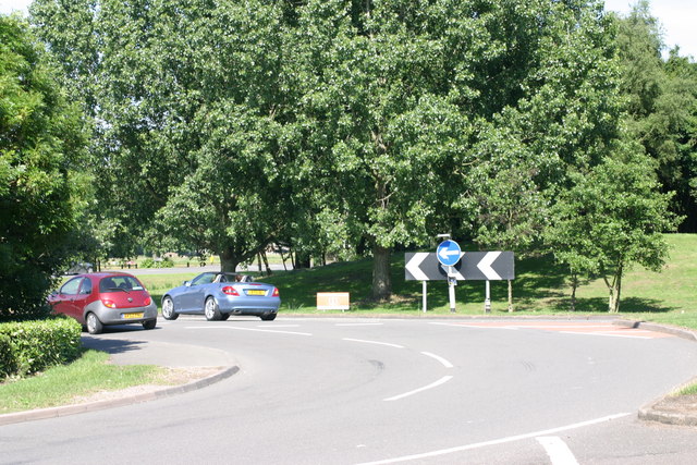
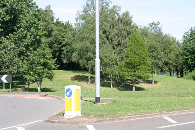
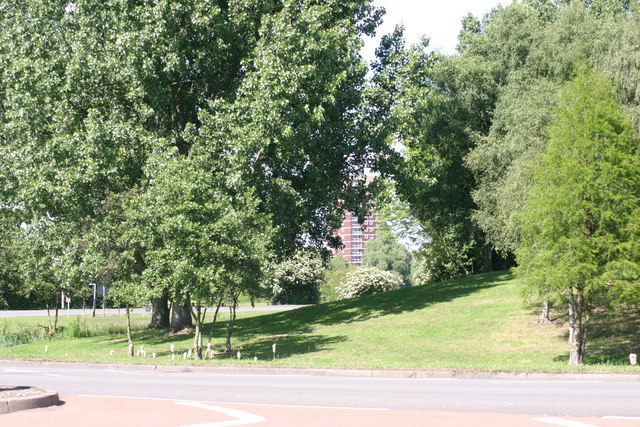
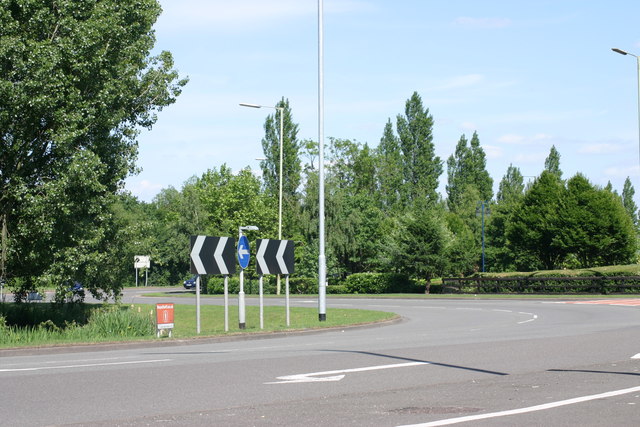
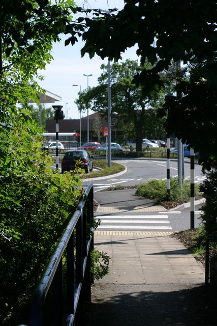
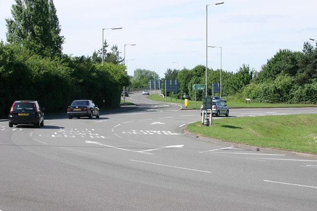
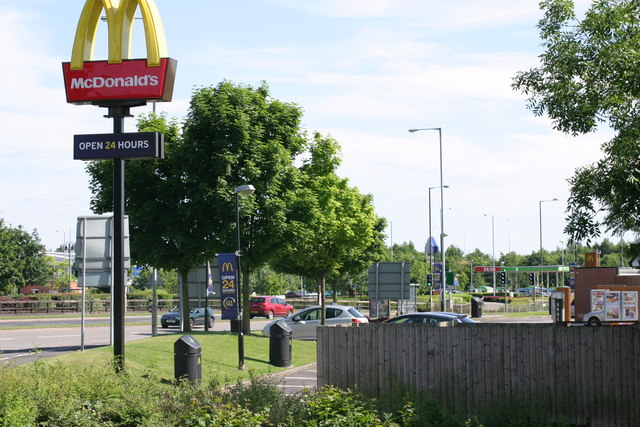
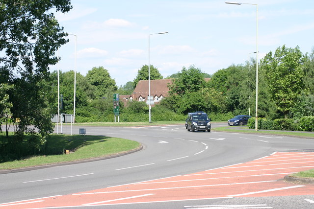
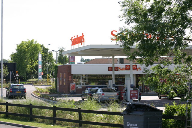
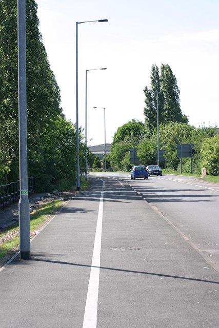
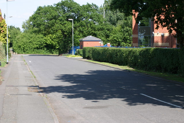
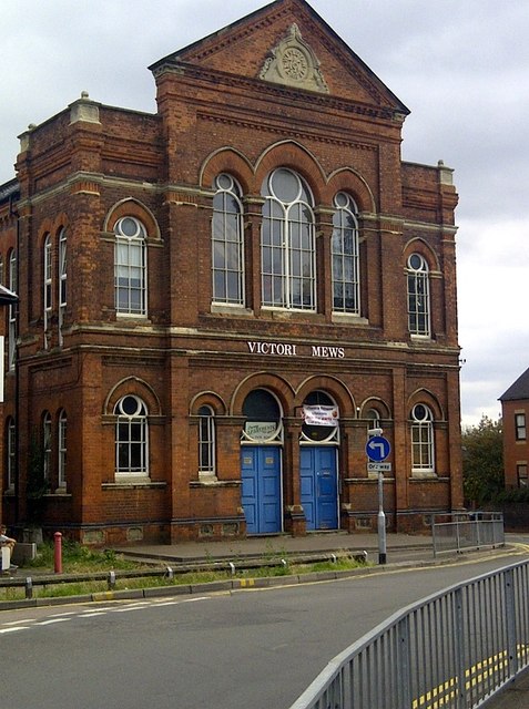
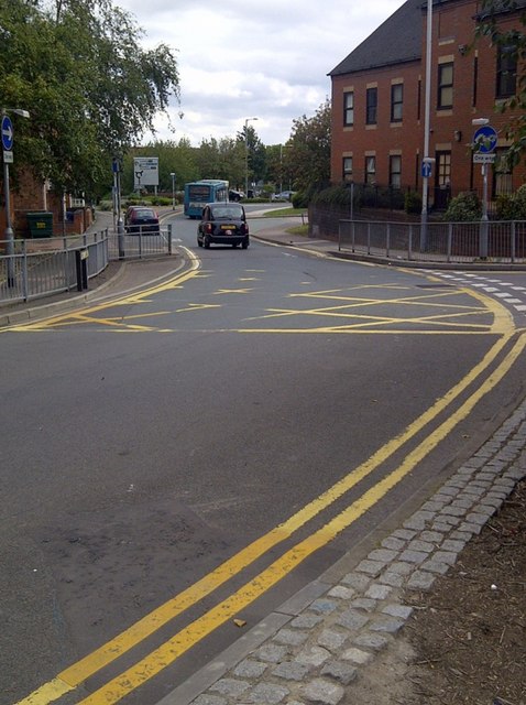
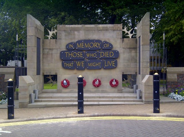
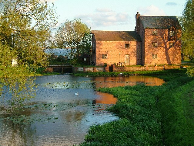
The Leys Images
Images are sourced within 2km of 52.636144/-1.704432 or Grid Reference SK2004. Thanks to Geograph Open Source API. All images are credited.
The Leys is located at Grid Ref: SK2004 (Lat: 52.636144, Lng: -1.704432)
Administrative County: Staffordshire
District: Tamworth
Police Authority: Staffordshire
What 3 Words
///bounty.spicy.lifted. Near Tamworth, Staffordshire
Related Wikis

Moat House, Tamworth
The Moat House is a Grade II* building in Tamworth, Staffordshire, England, in what were once the grounds of Tamworth Castle. The summer house, in the...

Leyfields
Leyfields is a housing estate in Tamworth, Staffordshire, consisting of 3-storey flats, maisonettes, bungalows and houses. It was built in the 1960s as...
River Anker
The River Anker is a river in England that flows through the centre of Nuneaton. It is a major tributary of the River Tame, which it joins in Tamworth...
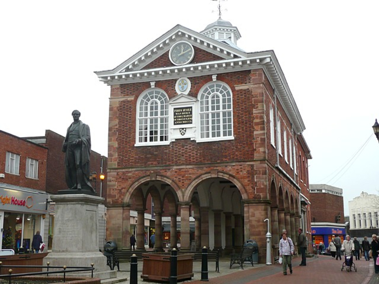
Tamworth Town Hall
Tamworth Town Hall is a municipal building in Market Street, Tamworth, Staffordshire, England. The town hall, which is the meeting place of Tamworth Borough...
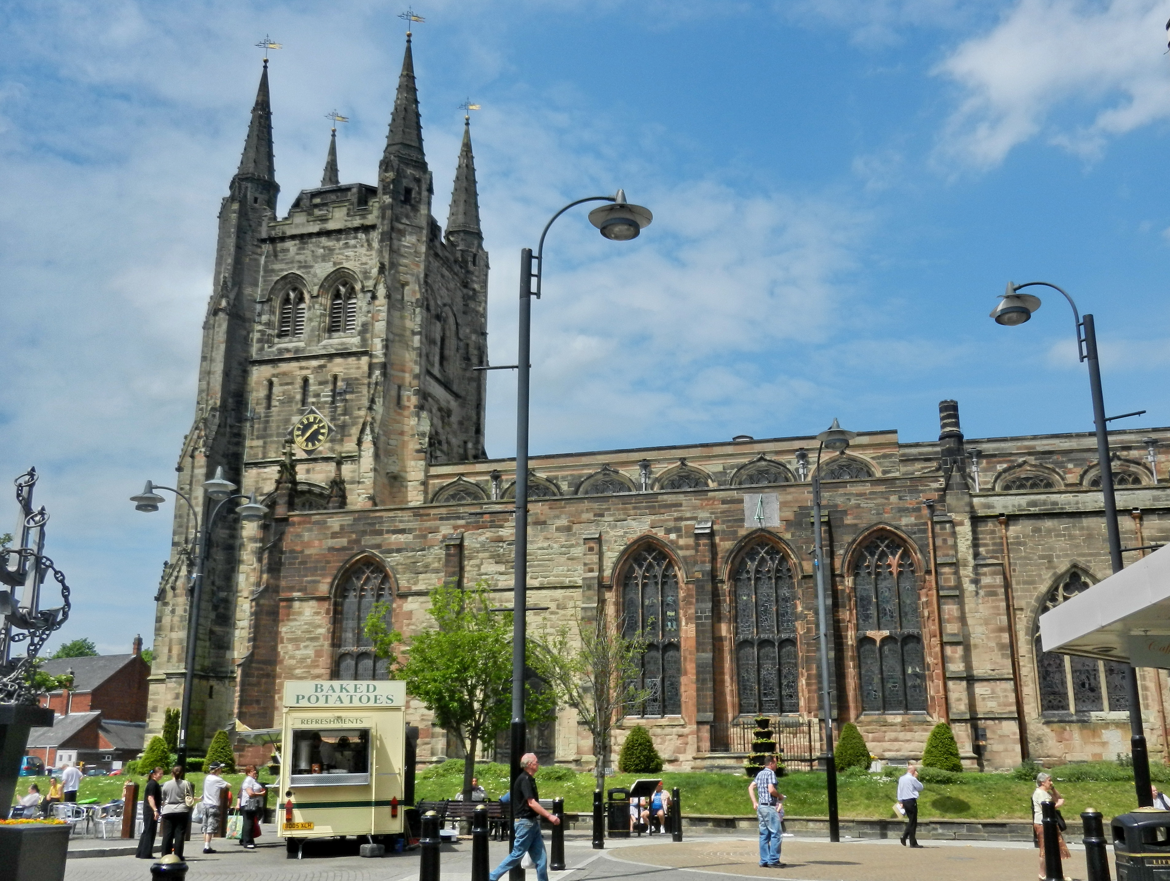
Church of St Editha, Tamworth
The Church of St Editha is a Church of England parish church and Grade I listed building in Tamworth, Staffordshire, England. == History == The church...
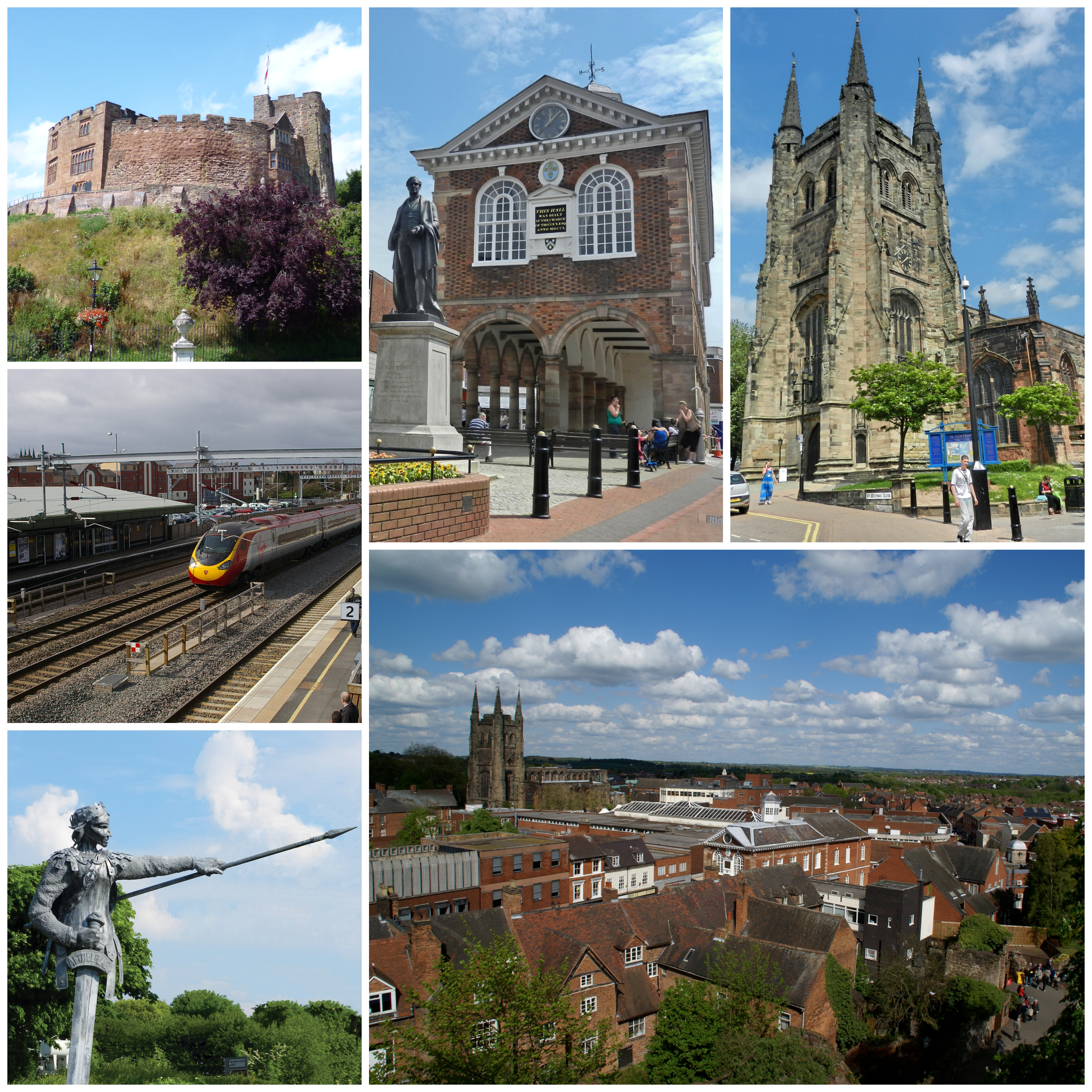
Tamworth, Staffordshire
Tamworth (, ) is a market town and borough in Staffordshire, England, 14 miles (23 km) north-east of Birmingham. The town borders North Warwickshire to...
Landau Forte Academy QEMS
Landau Forte Academy QEMS (Formerly "Queen Elizabeth's Mercian School", until 1 September 2011) is an 11-16 secondary school with academy status located...
Bitterscote
Bitterscote is an area of Tamworth, Staffordshire that is close to the town centre and contains major retail outlets in a development known as Ventura...
Nearby Amenities
Located within 500m of 52.636144,-1.704432Have you been to The Leys?
Leave your review of The Leys below (or comments, questions and feedback).