Ling, The
Settlement in Norfolk South Norfolk
England
Ling, The
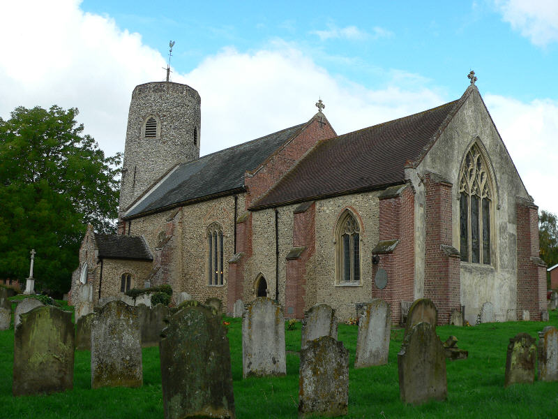
Ling, The, Norfolk is a small village located in the county of Norfolk, England. Situated approximately 10 miles northwest of the city of Norwich, it falls within the Broadland district. With a population of around 400 residents, Ling is known for its peaceful rural setting and charming countryside landscapes.
The village is surrounded by picturesque farmland, offering a tranquil atmosphere for its inhabitants. Ling is primarily a residential area, with a tight-knit community that enjoys a close connection with its neighbors. The village features a mix of traditional and modern architecture, including quaint cottages, farmhouses, and some newer houses.
Despite its small size, Ling offers a range of amenities to cater to the needs of its residents. These include a local primary school, a village hall that serves as a social hub, and a small shop for daily essentials. The village has limited public transportation, with a few bus services connecting Ling to nearby towns.
Ling is also known for its proximity to the beautiful Norfolk Broads, a network of rivers and lakes that offer stunning natural scenery and recreational activities such as boating and fishing. The village is a popular choice for nature lovers and outdoor enthusiasts, as it provides easy access to the Broads and its abundant wildlife.
Overall, Ling, The, Norfolk provides its residents with a peaceful and close-knit community, surrounded by the beauty of the Norfolk countryside and the opportunities for outdoor exploration in the nearby Norfolk Broads.
If you have any feedback on the listing, please let us know in the comments section below.
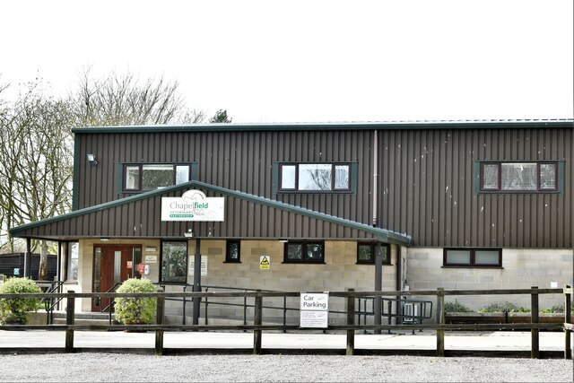
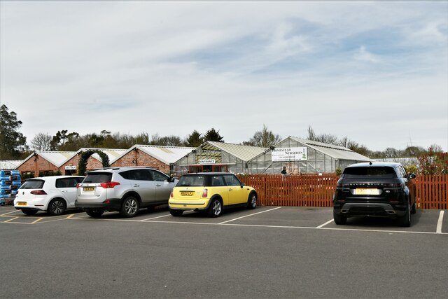
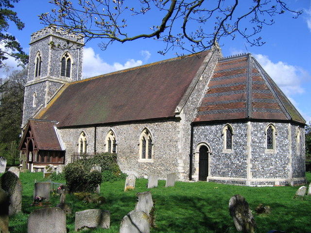
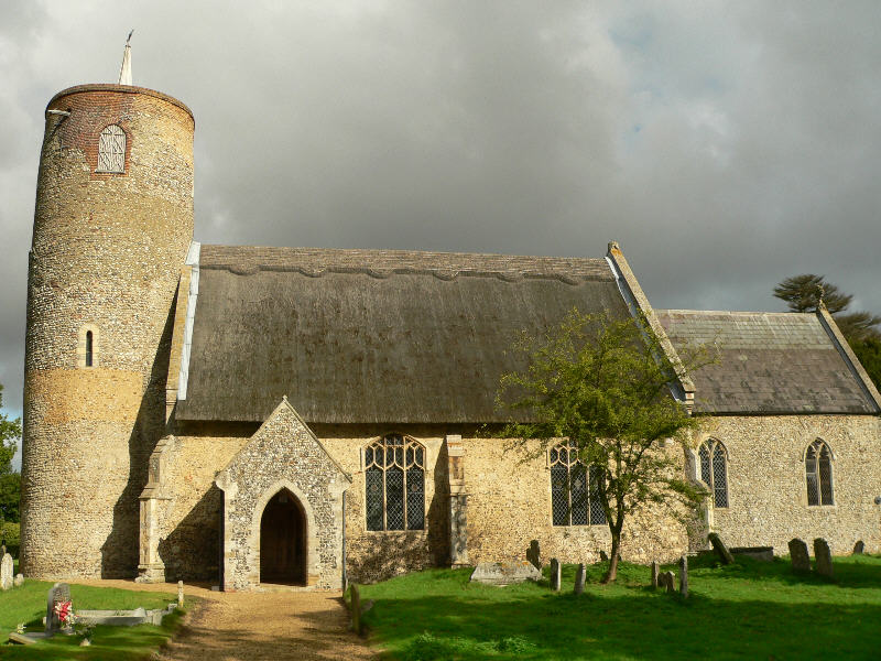
Ling, The Images
Images are sourced within 2km of 52.531274/1.3895677 or Grid Reference TM3098. Thanks to Geograph Open Source API. All images are credited.


Ling, The is located at Grid Ref: TM3098 (Lat: 52.531274, Lng: 1.3895677)
Administrative County: Norfolk
District: South Norfolk
Police Authority: Norfolk
What 3 Words
///bystander.patting.pyramid. Near Brooke, Norfolk
Related Wikis
Kirstead
Kirstead is a civil parish in the English county of Norfolk. The main settlement is Kirstead Green. The parish covers an area of 4.19 km2 (1.62 sq mi)...

Kirstead Green
Kirstead Green is a village in the English county of Norfolk. Administratively it is part of the civil parish of Kirstead within the district of South...
Seething
Seething is a village and civil parish in the English county of Norfolk. It is around 8+1⁄2 miles (13.7 km) south-east of Norwich and 2+3⁄4 miles (4.4...
Brooke, Norfolk
Brooke is a village and civil parish in the South Norfolk district of Norfolk, England, about 7 miles south of Norwich and roughly equidistant from Norwich...

Bergh Apton Anglo-Saxon cemetery
Bergh Apton Anglo-Saxon cemetery is a late-5th to late-6th century Anglo-Saxon burial site discovered at Bergh Apton, Norfolk. The site was excavated in...

RAF Seething
Royal Air Force Seething, or more simply RAF Seething , is a former Royal Air Force station located around 9 NM (17 km; 10 mi) south-east of Norwich, Norfolk...
Seething Airfield
Seething Airfield (ICAO: EGSJ), formerly RAF Seething, is located 9 NM (17 km; 10 mi) south southeast of Norwich, East Anglia, England. Seething Airfield...

Howe, Norfolk
Howe is a village and civil parish in South Norfolk, England. It is situated between Poringland, Brooke and Shotesham. It covers an area of 3.20 km2...
Nearby Amenities
Located within 500m of 52.531274,1.3895677Have you been to Ling, The?
Leave your review of Ling, The below (or comments, questions and feedback).