The Herberts

Settlement in Glamorgan

Wales

The Herberts

Ordnance Survey Cut Mark This OS cut mark can be found on the NW parapet of Howe Mill Bridge. It marks a point 15.591m above mean sea level.
Ordnance Survey Cut Mark Credit: Adrian Dust

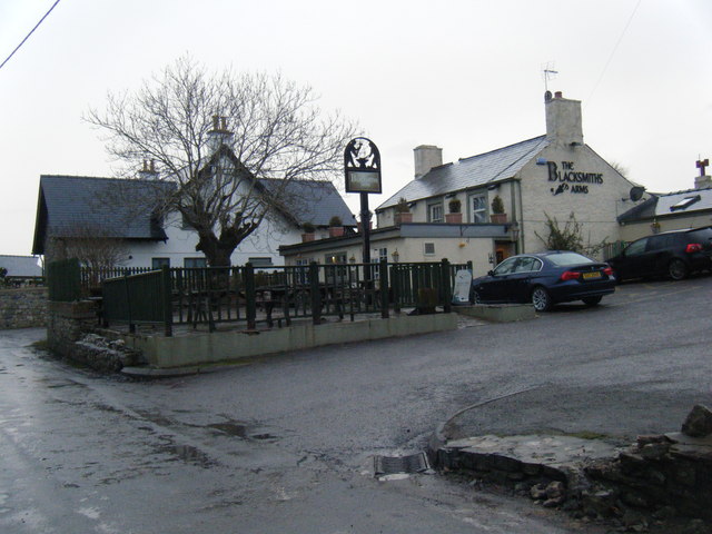
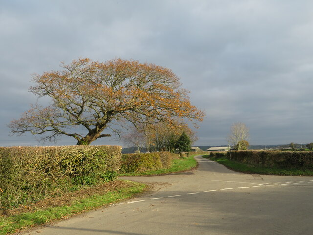
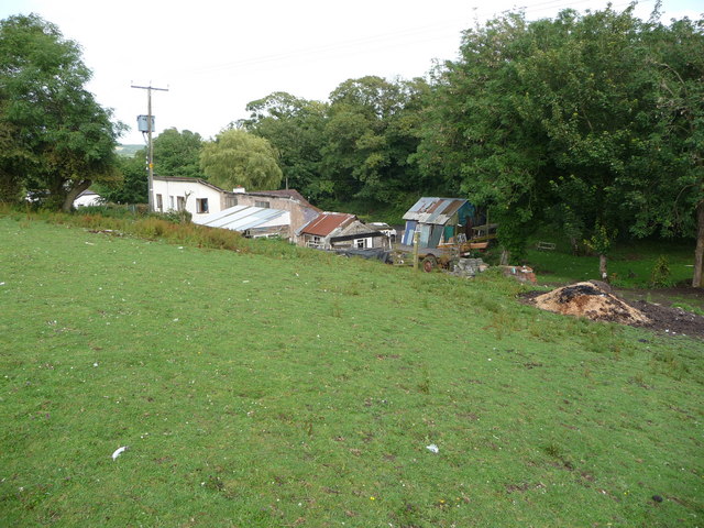
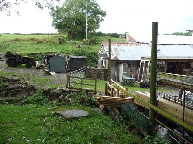
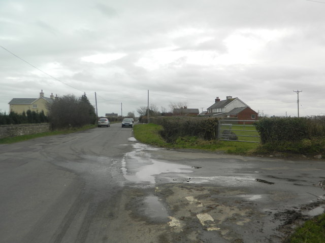
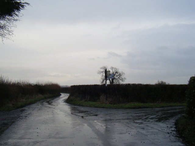
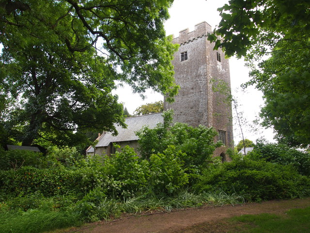
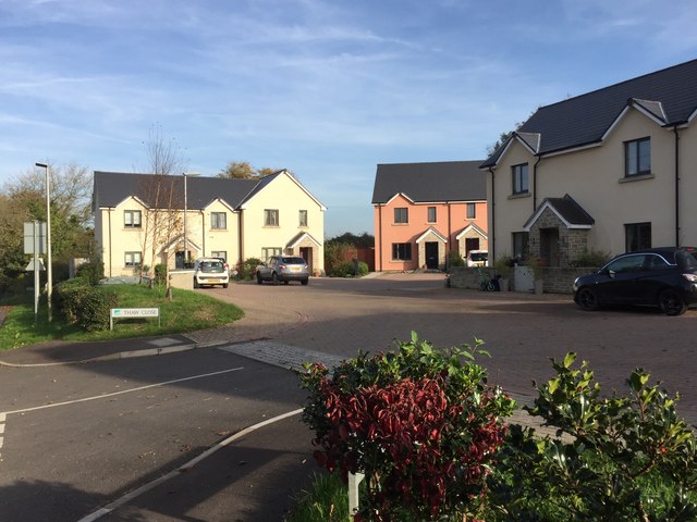
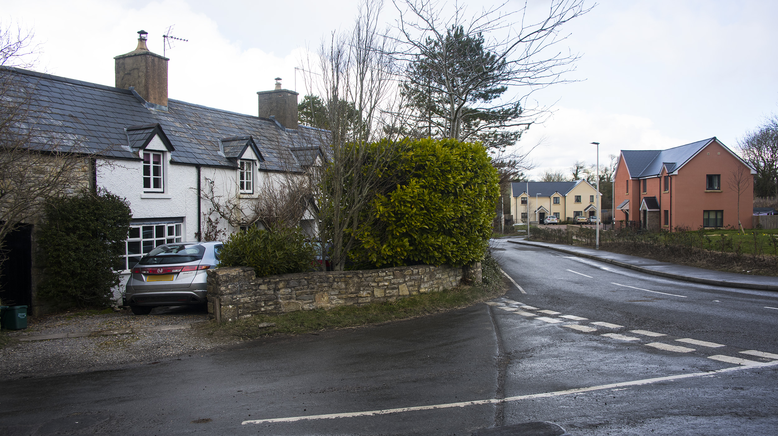
The Herberts is a small village located in the county of Glamorgan, Wales. Situated in the southern part of the country, it is nestled amidst picturesque countryside and offers a tranquil setting for its residents. The village is part of the wider community of Glamorgan, which is known for its rich history and natural beauty.

The Herberts is a close-knit community with a population of around 500 people. It is primarily a residential area, with a scattering of traditional Welsh cottages and modern houses. The village is surrounded by rolling hills and lush green fields, providing stunning views and opportunities for outdoor activities such as hiking and cycling.

Despite its small size, The Herberts boasts a vibrant community spirit. The villagers take pride in organizing various events throughout the year, including summer fairs, music festivals, and local sports tournaments. These events help foster a sense of togetherness and provide opportunities for residents to socialize and get to know one another.

In terms of amenities, The Herberts has a small convenience store that caters to the basic needs of the community. For more extensive shopping and services, residents can easily access nearby towns and cities. The village is well-connected by road, making commuting to neighboring areas convenient.

Overall, The Herberts offers a peaceful and idyllic lifestyle for its residents, with its scenic surroundings, strong community spirit, and easy access to essential amenities. It is a charming village that captures the essence of rural Welsh life.

If you have any feedback on the listing, please let us know in the comments section below.

The Herberts Images

Images are sourced within 2km of 51.428973/-3.4541887 or Grid Reference SS9971. Thanks to Geograph Open Source API. All images are credited.

Ordnance Survey Cut Mark This OS cut mark can be found on the NW parapet of Howe Mill Bridge. It marks a point 15.591m above mean sea level.
Ordnance Survey Cut Mark
This OS cut mark can be found on the NW parapet of Howe Mill Bridge. It marks a point 15.591m above mean sea level.
The Blacksmiths Arms, Llanmaes
Ordnance Survey Rivet This damaged OS rivet can be found on the stone slab in front of St Mary's Well. It marks a point 42.888m above mean sea level. <a title="https://www.geograph.org.uk/photo/7275324" href="https://www.geograph.org.uk/photo/7275324">Link</a>
Ordnance Survey Rivet
This damaged OS rivet can be found on the stone slab in front of St Mary's Well. It marks a point 42.888m above mean sea level. Link
St Mary's Well There is an Ordnance Survey benchmark on the well. <a title="https://www.geograph.org.uk/photo/7275317" href="https://www.geograph.org.uk/photo/7275317">Link</a>
St Mary's Well
There is an Ordnance Survey benchmark on the well. Link
Ordnance Survey Cut Mark This OS cut mark can be found on the NE parapet of the bridge. It marks a point 30.520m above mean sea level.
Ordnance Survey Cut Mark
This OS cut mark can be found on the NE parapet of the bridge. It marks a point 30.520m above mean sea level.
Last of the autumn colours: road-junction near Pen-y-bryn
Smallholding I like the look of this place; ponies in the field, geese flock on patrol, eclectic mix of architectural styles, recycling principles and good old fashioned hoarding. A man after my own heart operates here. Good luck to him.
Smallholding
I like the look of this place; ponies in the field, geese flock on patrol, eclectic mix of architectural styles, recycling principles and good old fashioned hoarding. A man after my own heart operates here. Good luck to him.
Smallholding I assume that the old tractor is no longer operational. Interesting workshop building too. Great work.
Smallholding
I assume that the old tractor is no longer operational. Interesting workshop building too. Great work.
Church in St Mary Church
Road junction at New Barn
Lane junction north of Picketston
New Housing at The Herberts The new houses on the right are typical of the very small in-fill housing developments in the Vale of Glamorgan.
The Herberts is a small hamlet near Llanfair (St. Mary Church)
New Housing at The Herberts
The new houses on the right are typical of the very small in-fill housing developments in the Vale of Glamorgan. The Herberts is a small hamlet near Llanfair (St. Mary Church)
Ordnance Survey Cut Mark This OS cut mark can be found on the SW face of St Mary's Church. It marks a point 65.172m above mean sea level.
Ordnance Survey Cut Mark
This OS cut mark can be found on the SW face of St Mary's Church. It marks a point 65.172m above mean sea level.
St Mary's, St Mary Church
New Housing at The Herberts Thaw Close, new housing at The Herbert's.
New Housing at The Herberts
Thaw Close, new housing at The Herbert's.
Church of St.Mary Parish church of St.Mary, St.Mary Church.
Church of St.Mary
Parish church of St.Mary, St.Mary Church.
Tower of St.Mary Church Tower of St.Mary Church, Llanfair near Cowbridge.
Tower of St.Mary Church
Tower of St.Mary Church, Llanfair near Cowbridge.
New Barn, Flemingston New Barn Farm near Flemingston.
New Barn, Flemingston
New Barn Farm near Flemingston.
Show me another place!

The Herberts is located at Grid Ref: SS9971 (Lat: 51.428973, Lng: -3.4541887)

Unitary Authority: The Vale of Glamorgan

Police Authority: South Wales

What 3 Words

///campfires.zebra.small. Near Llantwit Major, Vale of Glamorgan

Related Wikis

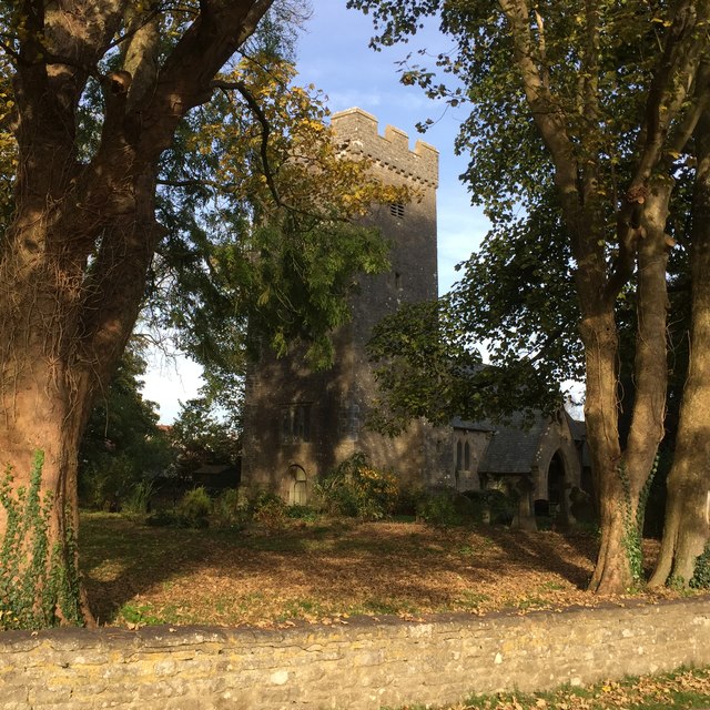
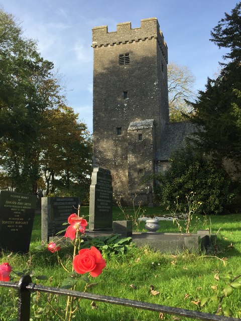
Llanfair, Vale of Glamorgan

Llanfair is a community in the Vale of Glamorgan, Wales. It is located immediately south of the town of Cowbridge and includes the settlements of St Hilary...

Llanmihangel Place

Llanmihangel Place (Welsh: Plas Llanmihangel) is a Grade I listed manor house in the Vale of Glamorgan, South Wales. It became a Grade I listed building...

The Herberts

The Herberts is a hamlet in the Vale of Glamorgan, Wales. It is located immediately to the north of the village of St. Mary Church and southwest of Llandough...

South Wales Aviation Museum

The South Wales Aviation Museum (SWAM) is an aviation museum in Bro Tathan North, St Athan, Vale of Glamorgan, Wales on part of the former MOD St Athan...

Related Videos

അധ്വാനിക്കാൻ തയാറാണെങ്കിൽ നിങ്ങൾക്കും വിജയിക്കാം, ഇതുപോലെ ✌️

അധ്വാനിക്കാൻ തയാറാണെങ്കിൽ നിങ്ങൾക്കും വിജയിക്കാം, ഇതുപോലെ ...

Taking a Brisk walk in Sigingstone village in south wales

Its a lovely country side. #travel #wales.

Nearby Amenities

Located within 500m of 51.428973,-3.4541887
Power: pole
Lat/Long: 51.4311152/-3.4514262
Power: pole
Lat/Long: 51.4326369/-3.4504687
Power: pole
Lat/Long: 51.4301821/-3.4520324
Power: pole
Lat/Long: 51.4296554/-3.4523543
Power: pole
Lat/Long: 51.4322401/-3.4507612
Power: pole
Lat/Long: 51.4288342/-3.4528532
Power: pole
Lat/Long: 51.4280332/-3.4533681
Power: pole
Lat/Long: 51.4271898/-3.4539208
Barrier: yes
Lat/Long: 51.4302309/-3.4587195
Direction: 165
Generator Method: photovoltaic
Generator Output Electricity: yes
Generator Solar Modules: 10
Generator Source: solar
Generator Type: solar_photovoltaic_panel
Location: roof
Power: generator
Lat/Long: 51.4323906/-3.4541971
The data included in this document is from www.openstreetmap.org. The data is made available under ODbL.

Have you been to The Herberts?

Leave your review of The Herberts below (or comments, questions and feedback).