The Hendre

Settlement in Monmouthshire

Wales

The Hendre

Maerdy Bridge
Maerdy Bridge Credit: Rob Purvis

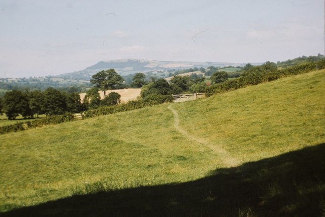
The Hendre is a small village located in Monmouthshire, Wales. Situated near the border of England, it is surrounded by picturesque countryside and rolling hills. The village is known for its tranquil and rural atmosphere, making it an ideal location for those seeking a peaceful retreat.

The Hendre is characterized by its charming stone cottages and traditional Welsh architecture. Many of these cottages date back several centuries, adding to the village's historical charm. The village is relatively small, with a close-knit community that emphasizes a strong sense of community spirit.

Despite its small size, The Hendre offers a range of amenities to its residents. These include a local pub, a village hall, and a primary school. The village is also a short distance from larger towns such as Monmouth, where residents can access a wider range of services and facilities.

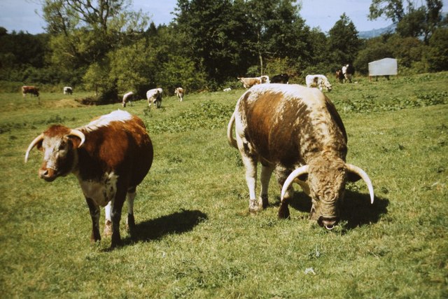
The surrounding countryside provides ample opportunities for outdoor activities. The area is popular for hiking and walking, with numerous scenic trails and paths to explore. The Hendre is also close to the Wye Valley, a designated Area of Outstanding Natural Beauty, offering stunning landscapes and diverse wildlife.

Overall, The Hendre offers a peaceful and idyllic setting for those seeking a rural lifestyle. Its historical charm, strong community spirit, and proximity to natural beauty make it an attractive destination for residents and visitors alike.

If you have any feedback on the listing, please let us know in the comments section below.
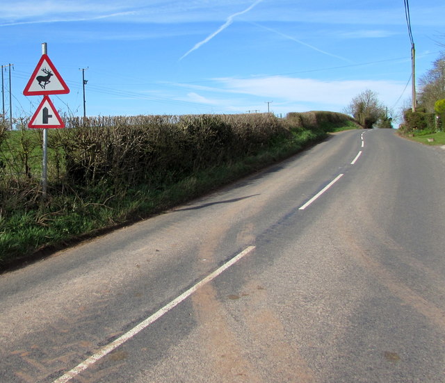
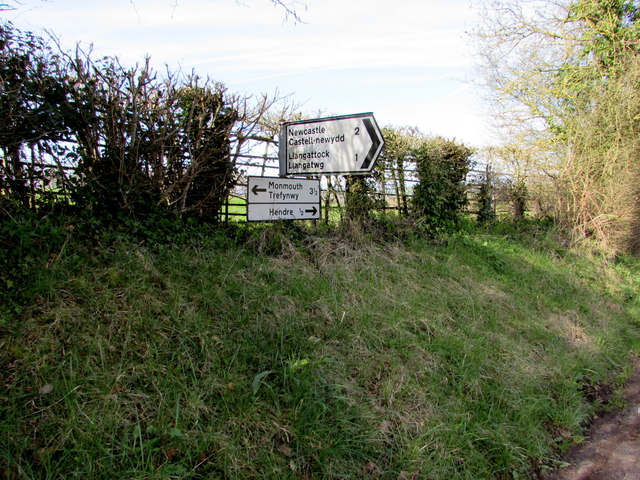
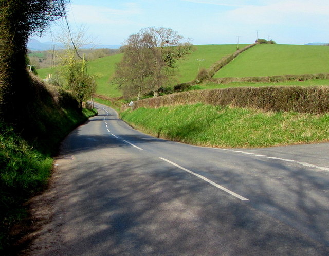
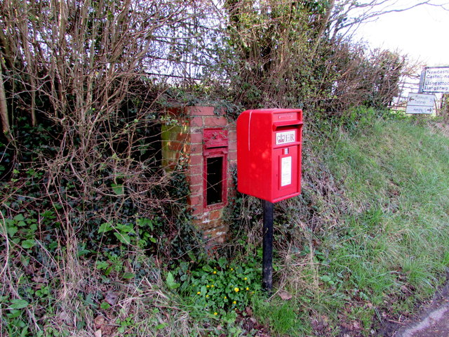
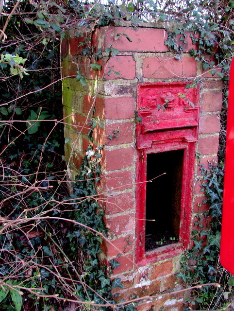
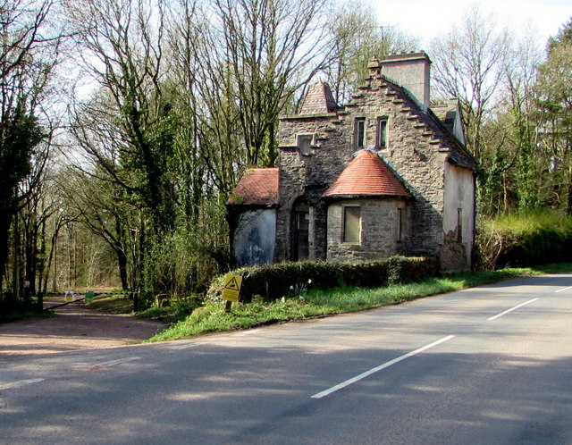
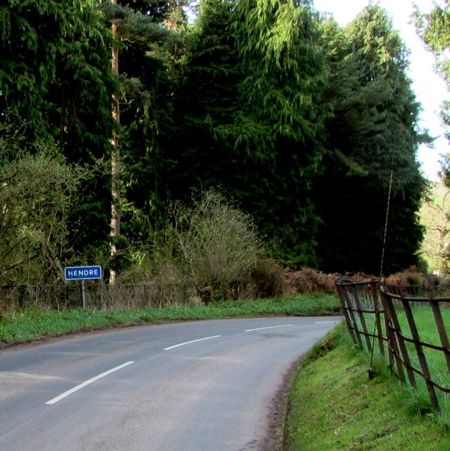
The Hendre Images

Images are sourced within 2km of 51.827937/-2.791685 or Grid Reference SO4514. Thanks to Geograph Open Source API. All images are credited.

Maerdy Bridge
Maerdy Bridge
West along the B4233 towards Hendre, Monmouthshire Extending for 23km (c14 miles) from Monmouth to Abergavenny, the B4233 is a rural B-road in Monmouthshire.
West along the B4233 towards Hendre, Monmouthshire
Extending for 23km (c14 miles) from Monmouth to Abergavenny, the B4233 is a rural B-road in Monmouthshire.
East along the B4233 towards Rockfield, Monmouthshire Extending for 23km (c14 miles) from Abergavenny to Monmouth, the B4233 is a rural B-road in Monmouthshire.
Ahead for Monmouth via Rockfield.
East along the B4233 towards Rockfield, Monmouthshire
Extending for 23km (c14 miles) from Abergavenny to Monmouth, the B4233 is a rural B-road in Monmouthshire. Ahead for Monmouth via Rockfield.
Towards Whitehall Farm near Rockfield Viewed from the B4233 between Rockfield and Hendre.
Towards Whitehall Farm near Rockfield
Viewed from the B4233 between Rockfield and Hendre.
Warning signs alongside the B4233 near Hendre, Monmouthshire Warning of a minor road junction ahead (a certainty) and deer in the road (a possibility), the signs are alongside the B4233, a rural B-road in Monmouthshire extending for 23km (c14 miles) from Monmouth to Abergavenny.
Warning signs alongside the B4233 near Hendre, Monmouthshire
Warning of a minor road junction ahead (a certainty) and deer in the road (a possibility), the signs are alongside the B4233, a rural B-road in Monmouthshire extending for 23km (c14 miles) from Monmouth to Abergavenny.
Muddy field entrance near Hendre, Monmouthshire On the north side of the B4233, a rural B-road in Monmouthshire extending for 23km (c14 miles) from Monmouth to Abergavenny.
Muddy field entrance near Hendre, Monmouthshire
On the north side of the B4233, a rural B-road in Monmouthshire extending for 23km (c14 miles) from Monmouth to Abergavenny.
Road to Llangattock and Newcastle, Monmouthshire Viewed across the B4233. A sign behind the camera shows Llangattock 1 (mile) Newcastle 2. 
An adjacent B4233 sign shows Monmouth 3½ (eastwards), Hendre ½ (westwards). <a title="https://www.geograph.org.uk/photo/5324630" href="https://www.geograph.org.uk/photo/5324630">Link</a>
Road to Llangattock and Newcastle, Monmouthshire
Viewed across the B4233. A sign behind the camera shows Llangattock 1 (mile) Newcastle 2. An adjacent B4233 sign shows Monmouth 3½ (eastwards), Hendre ½ (westwards). Link
Direction and distances signs on a bank near Hendre, Monmouthshire Opposite this <a title="https://www.geograph.org.uk/photo/5324617" href="https://www.geograph.org.uk/photo/5324617">Link</a> junction, half-a-mile from Hendre.
Direction and distances signs on a bank near Hendre, Monmouthshire
Opposite this Link junction, half-a-mile from Hendre.
B4233 descends towards Hendre, Monmouthshire The B4233 is a rural B-road in Monmouthshire extending for 23km (c14 miles) from Monmouth to Abergavenny.
B4233 descends towards Hendre, Monmouthshire
The B4233 is a rural B-road in Monmouthshire extending for 23km (c14 miles) from Monmouth to Abergavenny.
Queen Elizabeth II postbox and the shell of its predecessor near Hendre, Monmouthshire Viewed in late March 2017. The modern postbox alongside the B4233 is 
in front of the shell of a King Edward VII postbox <a title="https://www.geograph.org.uk/photo/5324687" href="https://www.geograph.org.uk/photo/5324687">Link</a> in a small brick pillar.
Queen Elizabeth II postbox and the shell of its predecessor near Hendre, Monmouthshire
Viewed in late March 2017. The modern postbox alongside the B4233 is in front of the shell of a King Edward VII postbox Link in a small brick pillar.
Shell of a King Edward VII postbox near Hendre, Monmouthshire The remains of the old postbox are behind its modern replacement. <a title="https://www.geograph.org.uk/photo/5324679" href="https://www.geograph.org.uk/photo/5324679">Link</a>
Shell of a King Edward VII postbox near Hendre, Monmouthshire
The remains of the old postbox are behind its modern replacement. Link
Derelict North Lodge, Hendre, Monmouthshire At the March 2017 date of this photo, North Lodge has been derelict for many years. The Cadw website states that the building was designed by Aston Webb c1896 in the Scottish baronial style at the wish of Georgiana, the wife of John Allan Rolls. Georgiana was the daughter of Sir Charles Maclean of Morvaren, Scotland. 
North Lodge was Grade II listed in 2001.
Derelict North Lodge, Hendre, Monmouthshire
At the March 2017 date of this photo, North Lodge has been derelict for many years. The Cadw website states that the building was designed by Aston Webb c1896 in the Scottish baronial style at the wish of Georgiana, the wife of John Allan Rolls. Georgiana was the daughter of Sir Charles Maclean of Morvaren, Scotland. North Lodge was Grade II listed in 2001.
Line spur pole alongside the B4233, Hendre, Monmouthshire The Western Power Distribution line spur pole,
identifier S/S 532900, is near the derelict former North Lodge. <a title="https://www.geograph.org.uk/photo/5325582" href="https://www.geograph.org.uk/photo/5325582">Link</a>
Line spur pole alongside the B4233, Hendre, Monmouthshire
The Western Power Distribution line spur pole, identifier S/S 532900, is near the derelict former North Lodge. Link
Eastern boundary of Hendre, Monmouthshire The white-on-blue boundary sign faces the B4233 at the eastern edge of the hamlet in the north of  Monmouthshire. Nearby is the former Hendre country estate which was owned by the Rolls family who were substantial landowners and benefactors in the Monmouth area. Charles Stewart Rolls was the co-founder of the Rolls-Royce company. The ascent of the family to the aristocracy was through marriage.
Eastern boundary of Hendre, Monmouthshire
The white-on-blue boundary sign faces the B4233 at the eastern edge of the hamlet in the north of Monmouthshire. Nearby is the former Hendre country estate which was owned by the Rolls family who were substantial landowners and benefactors in the Monmouth area. Charles Stewart Rolls was the co-founder of the Rolls-Royce company. The ascent of the family to the aristocracy was through marriage.
Offa's Dyke path near Hendre Farm Taken in 1987. See here for a similar, but more recent view: <a href="https://www.geograph.org.uk/photo/167889">SO4512 : Offa's Dyke Path near River Trothy</a>.
Offa's Dyke path near Hendre Farm
Taken in 1987. See here for a similar, but more recent view: SO4512 : Offa's Dyke Path near River Trothy.
British Longhorn cattle in Abbey Meadow, 1987 Seen from the Offa's Dyke footpath.
British Longhorn cattle in Abbey Meadow, 1987
Seen from the Offa's Dyke footpath.
War Memorial at Llangattock-Vibon-Avel The war memorial in the churchyard of St Cadoc's church at Llangattock-Vibon-Avel church is an impressive cross standing approximately 12 to 15 feet tall.
War Memorial at Llangattock-Vibon-Avel
The war memorial in the churchyard of St Cadoc's church at Llangattock-Vibon-Avel church is an impressive cross standing approximately 12 to 15 feet tall.
Old Milestone by the B4233, Steppes Farm Cottages, Llangattock Vibon Avel Stone post by the B4233, in parish of Llangattock Vibon Avel (Monmouthshire District), West of Steppes Farm Cottages, North side of road.

Inscription once read:-
: (Abergavenny / 11) : : (Monmouth / 3) :
  
Surveyed

Milestone Society National ID: MON_MMAG03
Old Milestone by the B4233, Steppes Farm Cottages, Llangattock Vibon Avel
Stone post by the B4233, in parish of Llangattock Vibon Avel (Monmouthshire District), West of Steppes Farm Cottages, North side of road. Inscription once read:- : (Abergavenny / 11) : : (Monmouth / 3) : Surveyed Milestone Society National ID: MON_MMAG03
Show me another place!

The Hendre is located at Grid Ref: SO4514 (Lat: 51.827937, Lng: -2.791685)

Unitary Authority: Monmouthshire

Police Authority: Gwent

What 3 Words

///project.pacemaker.confronts. Near Llanrothal, Herefordshire

Related Wikis

The Hendre

The Hendre, (Welsh: Yr Hendre a farmer's winter residence; literally meaning old home) in Rockfield, is the only full-scale Victorian country house in...

St Cadoc's Church, Llangattock Vibon Avel

The Church of St Cadoc, Llangattock Vibon Avel, Monmouthshire is a parish church of medieval origins which was heavily restored in the 19th century. The...

Llangattock-Vibon-Avel

Llangattock-Vibon-Avel (Welsh: Llangatwg Feibion Afel) is a rural parish and former community, now in the community of Whitecastle in Monmouthshire, south...

Grace Dieu Abbey, Monmouth

Grace Dieu Abbey was a small Cistercian abbey established in 1226 near to the town of Monmouth in south east Wales. No remains of its buildings can now...

Related Videos

Bikers vs Barbed Wire

This is the second time that I've encountered wire strung accross a right of way. I don't think it was done out of malice (the field ...

Nearby Amenities

Located within 500m of 51.827937,-2.791685
Power: pole
Lat/Long: 51.8284762/-2.7864584
Power: pole
Lat/Long: 51.8285607/-2.7884164
Power: pole
Lat/Long: 51.8286287/-2.7901787
Power: pole
Lat/Long: 51.8287464/-2.7925336
Power: pole
Lat/Long: 51.8288657/-2.7950066
Power: pole
Lat/Long: 51.8289453/-2.7968708
Direction: 185
Generator Method: photovoltaic
Generator Output Electricity: yes
Generator Solar Modules: 10
Generator Source: solar
Generator Type: solar_photovoltaic_panel
Location: roof
Power: generator
Lat/Long: 51.827518/-2.7908278
The data included in this document is from www.openstreetmap.org. The data is made available under ODbL.

Have you been to The Hendre?

Leave your review of The Hendre below (or comments, questions and feedback).