Herberts, The

Settlement in Glamorgan

Wales

Herberts, The

Ordnance Survey Cut Mark This OS cut mark can be found on the north face of Old Beaupre Castle. It marks a point 25.588m above mean sea level.
Ordnance Survey Cut Mark Credit: Adrian Dust

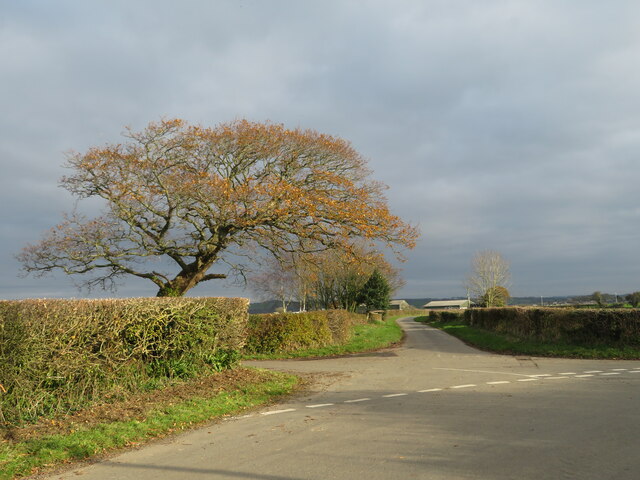
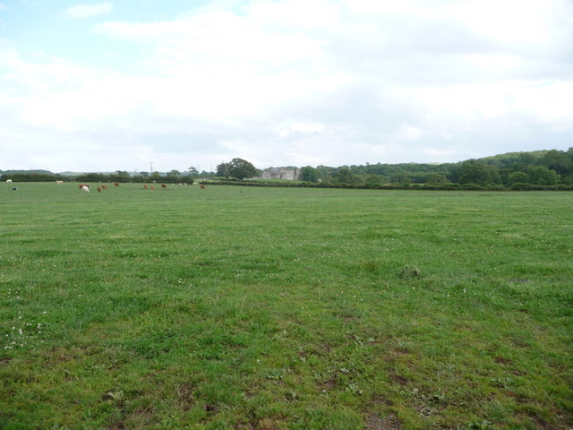
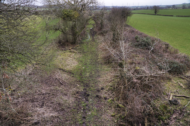
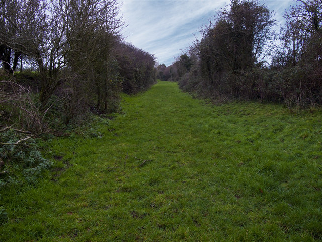
Herberts, The is a small community located in Glamorgan, Wales. It is situated in a picturesque rural setting, surrounded by rolling hills and lush green countryside. The area is known for its natural beauty and peaceful atmosphere, making it an ideal retreat for those looking to escape the hustle and bustle of city life.

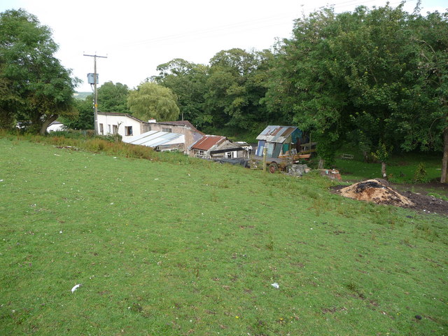
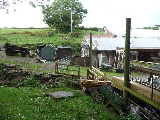
The community of Herberts, The is made up of a mix of residential homes, farms, and small businesses. The population is relatively small, with most residents being long-time locals who take pride in their community. The area is close-knit, and residents often come together for community events and celebrations.

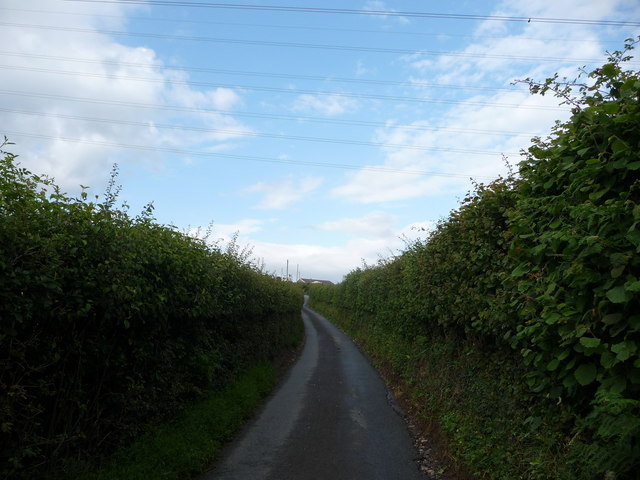
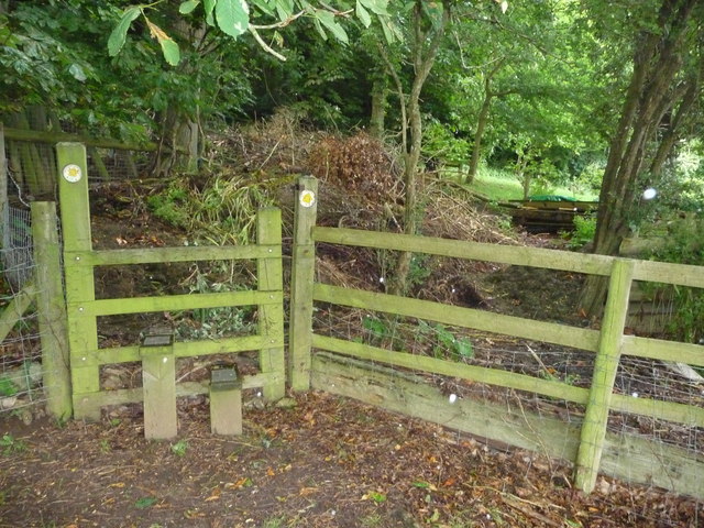
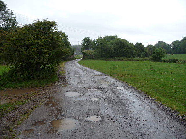
Herberts, The is well-connected to neighboring towns and cities by road, making it easy for residents to access amenities and services. The area also offers plenty of outdoor recreational opportunities, such as hiking, cycling, and fishing. Overall, Herberts, The is a charming and peaceful place to live, with a strong sense of community and an abundance of natural beauty.

If you have any feedback on the listing, please let us know in the comments section below.

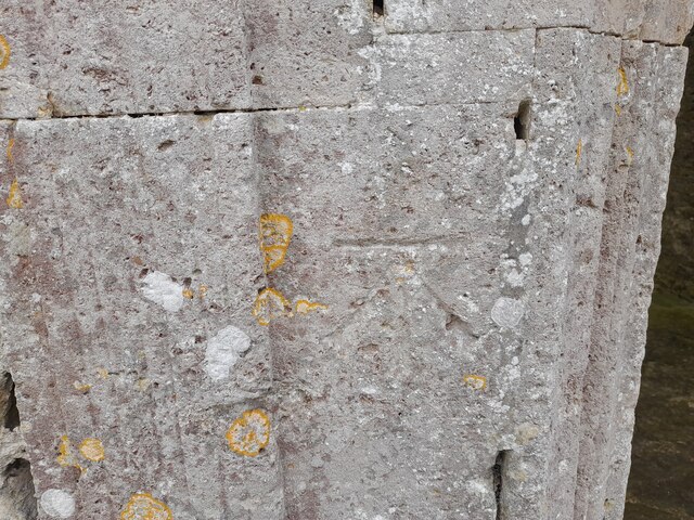
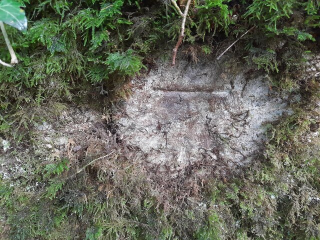
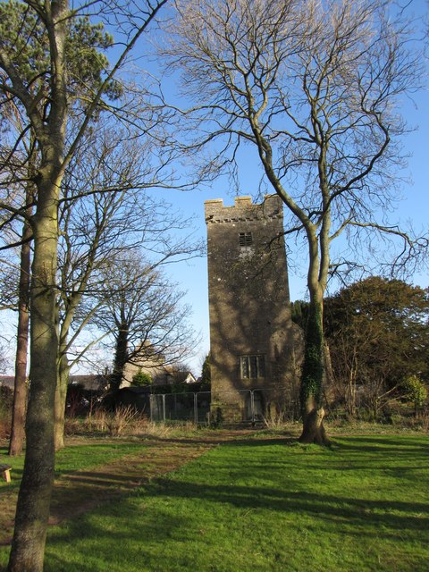
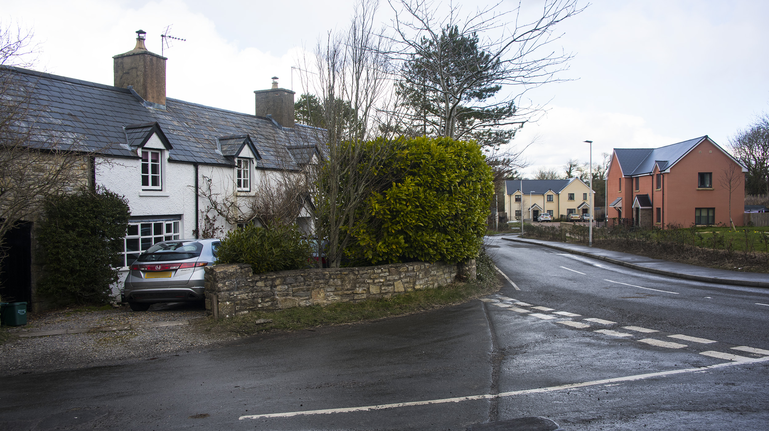
Herberts, The Images

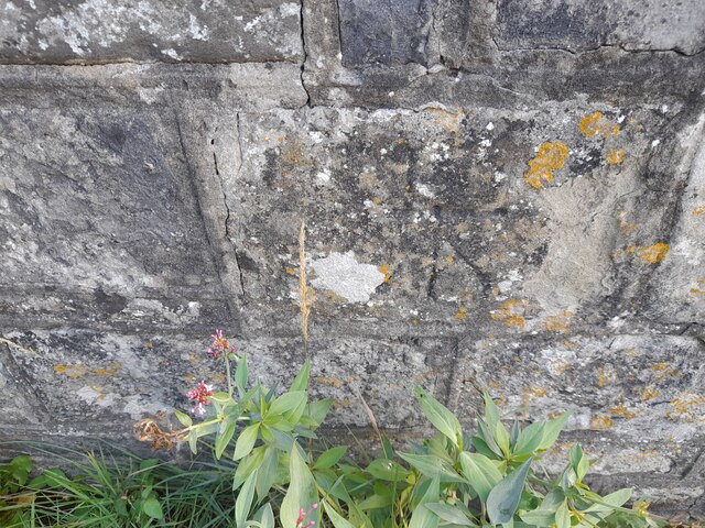
Images are sourced within 2km of 51.438/-3.4408 or Grid Reference SS9971. Thanks to Geograph Open Source API. All images are credited.

Ordnance Survey Cut Mark This OS cut mark can be found on the north face of Old Beaupre Castle. It marks a point 25.588m above mean sea level.
Ordnance Survey Cut Mark
This OS cut mark can be found on the north face of Old Beaupre Castle. It marks a point 25.588m above mean sea level.
Ordnance Survey Cut Mark This OS cut mark can be found on the NW parapet of Howe Mill Bridge. It marks a point 15.591m above mean sea level.
Ordnance Survey Cut Mark
This OS cut mark can be found on the NW parapet of Howe Mill Bridge. It marks a point 15.591m above mean sea level.
Ordnance Survey Cut Mark This OS cut mark can be found on the wall north side of the road. It marks a point 73.963m above mean sea level.
Ordnance Survey Cut Mark
This OS cut mark can be found on the wall north side of the road. It marks a point 73.963m above mean sea level.
Ordnance Survey Rivet This damaged OS rivet can be found on the stone slab in front of St Mary's Well. It marks a point 42.888m above mean sea level. <a title="https://www.geograph.org.uk/photo/7275324" href="https://www.geograph.org.uk/photo/7275324">Link</a>
Ordnance Survey Rivet
This damaged OS rivet can be found on the stone slab in front of St Mary's Well. It marks a point 42.888m above mean sea level. Link
St Mary's Well There is an Ordnance Survey benchmark on the well. <a title="https://www.geograph.org.uk/photo/7275317" href="https://www.geograph.org.uk/photo/7275317">Link</a>
St Mary's Well
There is an Ordnance Survey benchmark on the well. Link
Ordnance Survey Cut Mark This OS cut mark can be found on the NE parapet of the bridge. It marks a point 30.520m above mean sea level.
Ordnance Survey Cut Mark
This OS cut mark can be found on the NE parapet of the bridge. It marks a point 30.520m above mean sea level.
Last of the autumn colours: road-junction near Pen-y-bryn
Smallholding I like the look of this place; ponies in the field, geese flock on patrol, eclectic mix of architectural styles, recycling principles and good old fashioned hoarding. A man after my own heart operates here. Good luck to him.
Smallholding
I like the look of this place; ponies in the field, geese flock on patrol, eclectic mix of architectural styles, recycling principles and good old fashioned hoarding. A man after my own heart operates here. Good luck to him.
Smallholding I assume that the old tractor is no longer operational. Interesting workshop building too. Great work.
Smallholding
I assume that the old tractor is no longer operational. Interesting workshop building too. Great work.
Distant view to Old Beaupre Castle Cows graze the field adjacent to the lane, with a distant view to the castle.
Distant view to Old Beaupre Castle
Cows graze the field adjacent to the lane, with a distant view to the castle.
Narrow lane to St Hilary This narrow lane is pretty busy with cars, which makes walking it a bit hairy.
Narrow lane to St Hilary
This narrow lane is pretty busy with cars, which makes walking it a bit hairy.
Footpath stile between a stable and New Beaupre near Cowbridge Someone has been dumping grass cuttings and garden waste (branches, cuttings, foliage, rubbish) beside the footpath and stile here, not actually obstructing the path or stile, but certainly making using both pretty unpleasant. Presumably they do not welcome having walkers / strangers / non-locals traipsing past their property and are deterring anyone who does venture this way from returning.
Footpath stile between a stable and New Beaupre near Cowbridge
Someone has been dumping grass cuttings and garden waste (branches, cuttings, foliage, rubbish) beside the footpath and stile here, not actually obstructing the path or stile, but certainly making using both pretty unpleasant. Presumably they do not welcome having walkers / strangers / non-locals traipsing past their property and are deterring anyone who does venture this way from returning.
Footpath passes through the dismantled railway line In a light summer rain shower the footpath looks uninviting.
Footpath passes through the dismantled railway line
In a light summer rain shower the footpath looks uninviting.
Beaupre Castle Interior
Beaupre Castle Courtyard
Mill Street Platform, Cowbridge & aberthaw Railway Tree felling has revealed the location of the station.
It opened in 1865 and closed in 1912.
Mill Street Platform, Cowbridge & aberthaw Railway
Tree felling has revealed the location of the station. It opened in 1865 and closed in 1912.
Cowbridge & Aberthaw Railway Looking South-East along the line of the old railway.
Cowbridge & Aberthaw Railway
Looking South-East along the line of the old railway.
Church in St Mary Church
Show me another place!

Herberts, The is located at Grid Ref: SS9971 (Lat: 51.438, Lng: -3.4408)

Unitary Authority: The Vale of Glamorgan

Police Authority: South Wales

What 3 Words

///customers.strays.trailer. Near Cowbridge, Vale of Glamorgan

Related Wikis

The Herberts

The Herberts is a hamlet in the Vale of Glamorgan, Wales. It is located immediately to the north of the village of St. Mary Church and southwest of Llandough...

Llanfair, Vale of Glamorgan

Llanfair is a community in the Vale of Glamorgan, Wales. It is located immediately south of the town of Cowbridge and includes the settlements of St Hilary...
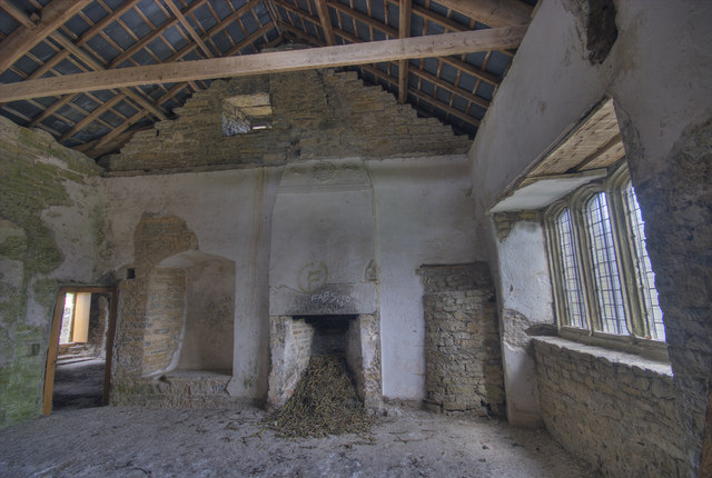
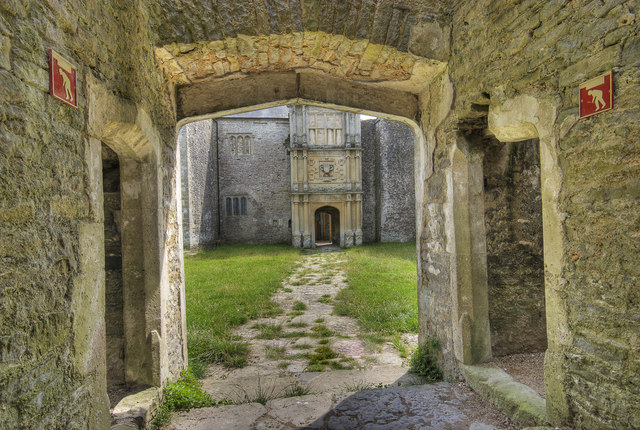
Old Beaupre Castle

Old Beaupre Castle (Welsh: Hen Gastell y Bewpyr; also known as Beaupre Castle, Old Beaupre Manor, or simply Beaupre) is a ruined medieval fortified manor...

Llandough Castle

Llandough Castle is a 14th-century tower house located in the Vale of Glamorgan, South Wales. Initially constructed as a fortified residential manor, the...

Related Videos

SWAM IV Nightshoot StAthan with Threshold.aero 02-03-2024

A quick look at the South Wales Aviation Museum night shoot run by Threshold.Aero. From set up through to darkness #aviation ...

St Quentin's Castle

treasure woman.

Nearby Amenities

Located within 500m of 51.438,-3.4408
Noexit: yes
Lat/Long: 51.4382714/-3.439172
Noexit: yes
Lat/Long: 51.4389315/-3.436535
Power: pole
Lat/Long: 51.4400374/-3.4454637
Power: pole
Lat/Long: 51.4415082/-3.4444633
Power: pole
Lat/Long: 51.4376778/-3.4470758
Power: pole
Lat/Long: 51.4405039/-3.4451391
Power: pole
Lat/Long: 51.4372598/-3.4474942
Power: pole
Lat/Long: 51.4386108/-3.4464321
Power: pole
Lat/Long: 51.4409782/-3.4448388
Power: pole
Lat/Long: 51.4381543/-3.4467352
Power: pole
Lat/Long: 51.4395554/-3.4458044
Power: pole
Lat/Long: 51.4390956/-3.4461049
Noexit: yes
Lat/Long: 51.4398578/-3.4423591
Direction: SSW
Generator Method: photovoltaic
Generator Output Electricity: yes
Generator Solar Modules: 16
Generator Source: solar
Generator Type: solar_photovoltaic_panel
Location: roof
Power: generator
Lat/Long: 51.4352366/-3.4371275
The Herberts
Place: hamlet
Wikidata: Q7739427
Lat/Long: 51.4378032/-3.4402549
St Mary Church
Name Cy: Llan-fair
Place: village
Lat/Long: 51.434643/-3.4383881
Post Box
Collection Times: Mo-Fr 09:00; Sa 07:00
Operator: Royal Mail
Post Box Mounting: stone_wall
Post Box Type: wall
Ref: CF71 151D
Royal Cypher: VR
Lat/Long: 51.437952/-3.4404843
Post Box
Collection Times: Mo-Fr 09:00; Sa 07:00
Operator: Royal Mail
Post Box Mounting: pier
Post Box Type: lamp
Ref: CF71 229D
Royal Cypher: EIIR
Lat/Long: 51.4343872/-3.4386121
Bus Stop
Lat/Long: 51.4344323/-3.4385812
The data included in this document is from www.openstreetmap.org. The data is made available under ODbL.

Have you been to Herberts, The?

Leave your review of Herberts, The below (or comments, questions and feedback).