Hepworth

Settlement in Suffolk West Suffolk

England

Hepworth

Hepworth: Field Lane and power lines crossing it Called a 'lane' but really a farm track.
Hepworth: Field Lane and power lines crossing it Credit: Michael Garlick

Hepworth is a small village located in Suffolk, England. It is situated in a rural area, surrounded by farmland and countryside. The village is known for its picturesque setting, with traditional cottages and historic buildings lining its streets.

Hepworth has a close-knit community, with a population of around 700 residents. The village has a primary school, a pub, a village hall, and a few small shops. There are also several churches in the area, reflecting the village's strong sense of community and tradition.

The village is well-connected to nearby towns and cities, with good transport links by road and rail. Hepworth is just a short drive away from the market town of Diss, which offers a wider range of amenities and services.

Overall, Hepworth is a charming and peaceful village, ideal for those seeking a quieter pace of life in a beautiful rural setting. Its friendly community and scenic surroundings make it a popular choice for both residents and visitors alike.

If you have any feedback on the listing, please let us know in the comments section below.
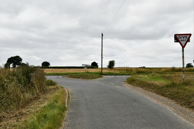
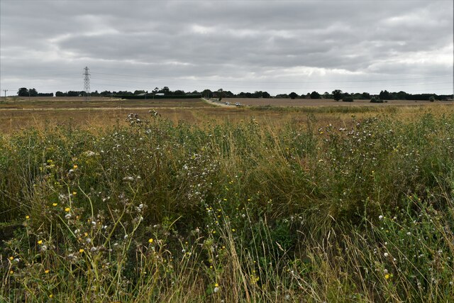
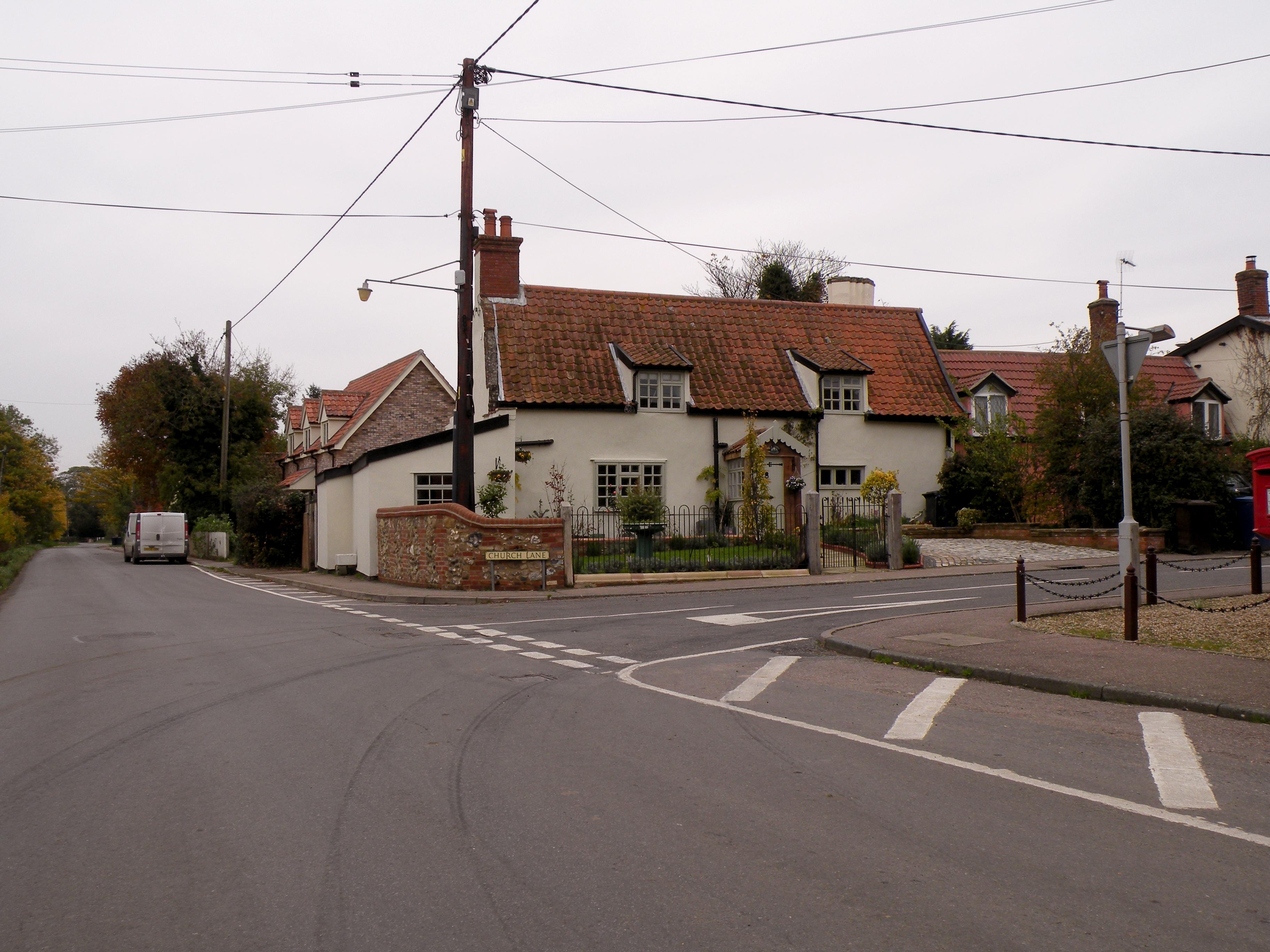
Hepworth Images

Images are sourced within 2km of 52.335671/0.91247073 or Grid Reference TL9874. Thanks to Geograph Open Source API. All images are credited.

Hepworth: Field Lane and power lines crossing it Called a 'lane' but really a farm track.
Hepworth: Field Lane and power lines crossing it
Called a 'lane' but really a farm track.
Hepworth, Weston Hindle Farm: Bringing in the grain for storage
Hepworth, Weston Hindle Farm: Cereal crop
Stanton: Houses in Bobby's Way
Barningham: The junction of Market Weston Road with the B1111
Barningham: Looking towards Stanton Road (B1111)
Hepworth, St. Peter's Church: South porch, western aspect
Hepworth, St. Peter's Church: Northern aspect
Hepworth, St. Peter's Church: Part south western aspect
Hepworth, St. Peter's Church: South western corner of the churchyard
Hepworth, St. Peter's Church: Tiny south chancel window
Hepworth, St. Peter's Church: War memorial in the churchyard
Hepworth: Church Farm from the church car park
Summer Road, Hepworth
The entrance to Suffolk Mushrooms in Hepworth This is on the Scaseshole Farm Industrial Estate which has a number of other businesses around the mushroom depot.
The entrance to Suffolk Mushrooms in Hepworth
This is on the Scaseshole Farm Industrial Estate which has a number of other businesses around the mushroom depot.
Diss Road, Stanton
Diss Road, Stanton
Field by Diss Road, Stanton
Power lines across Barningham
Show me another place!

Hepworth is located at Grid Ref: TL9874 (Lat: 52.335671, Lng: 0.91247073)

Administrative County: Suffolk

District: West Suffolk

Police Authority: Suffolk

What 3 Words

///sized.snow.hushed. Near Rickinghall, Suffolk

Nearby Locations

Hepworth

Related Wikis

Hepworth, Suffolk

Hepworth is a village and civil parish in the West Suffolk district of the English county of Suffolk. Nearby settlements include the villages of Stanton...

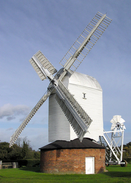
Upthorpe Mill, Stanton

Upthorpe Mill is a Grade II* listed post mill and scheduled monument at Stanton, Suffolk, England, which has been restored to working order. == History... ==

Stanton, Suffolk

Stanton is a village and civil parish in the West Suffolk district of Suffolk in eastern England, about nine miles north-east of Bury St Edmunds, on the...

RAF Shepherds Grove

Royal Air Force Shepherds Grove or more simply RAF Shepherds Grove is a former Royal Air Force station located in Suffolk, active from 1943–44 to 1966...

Nearby Amenities

Located within 500m of 52.335671,0.91247073
Hepworth
Place: village
Source: npe
Wikidata: Q2195750
Lat/Long: 52.3375799/0.9133495
Bus Stop
Hepworth The Street / Church Lane (opp)
Bench: yes
Bus: yes
Naptan AtcoCode: 390050070
Naptan Bearing: NW
Naptan CommonName: Church Lane
Naptan Indicator: opp
Naptan Landmark: Church Lane
Naptan NaptanCode: sufgdgpj
Naptan Street: The Street
Naptan Verified: yes
Passenger Information Display: no
Public Transport: platform
Shelter: yes
Source: naptan_import;survey
Tactile Paving: no
Lat/Long: 52.3348679/0.9130622
Bus Stop
Church Lane
Naptan AtcoCode: 390050071
Naptan Bearing: SE
Naptan BusStopType: CUS
Naptan CommonName: Church Lane
Naptan Indicator: adj
Naptan Landmark: Church Lane
Naptan NaptanCode: sufgdgpm
Naptan Street: The Street
Source: naptan_import;survey
Lat/Long: 52.3348916/0.9131661
Post Box
Collection Times: Mo-Fr 16:45; Sa 10:00
Operator: Royal Mail
Post Box Design: type_m
Post Box Type: lamp
Ref: IP22 7030
Royal Cypher: EIIR
Royal Cypher Wikidata: Q33102113
Lat/Long: 52.3356496/0.9126116
Fixme: Does a Public Footpath leave the track heading NE here?
Note: Definitive Statement and hisotric OS 1:25k suggest Hepworth FP 10 ends here
Lat/Long: 52.3395486/0.9147355
Hepworth
Man Made: village_sign
Lat/Long: 52.3380266/0.9104546
Grit Bin
Lat/Long: 52.3356805/0.9124498
Board Type: history
Information: board
Tourism: information
Lat/Long: 52.3380684/0.9106331
Bench
Backrest: yes
Lat/Long: 52.3380808/0.9106214
Bench
Backrest: yes
Lat/Long: 52.3380786/0.9106556
Grange Farm
Place: farm
Lat/Long: 52.336896/0.9195093
Defibrillator
Addr Housename: Stimsons Yard
Addr Postcode: IP22 2PS
Addr Street: The Street
Addr Village: Hepworth
Defibrillator Location: Next to gate to Stimsons Yard
Emergency: defibrillator
Indoor: no
Ref GB The Circuit: 5E440B0A-8AD3-4DE9-A9E4-AD71007EA929
Lat/Long: 52.336594/0.9124358
Board Type: notice
Information: board
Tourism: information
Lat/Long: 52.3380834/0.9106609
Waste Basket
Waste: dog_excrement
Lat/Long: 52.3367223/0.9150772
Bench
Backrest: yes
Material: wood
Lat/Long: 52.3360655/0.9155271
Waste Basket
Waste: dog_excrement
Lat/Long: 52.3337821/0.9159295
Bench
Backrest: yes
Lat/Long: 52.337686/0.9143396
Man Made: beacon
Lat/Long: 52.3372017/0.9144616
Bench
Backrest: yes
Lat/Long: 52.3376556/0.9146453
Covered: no
Leisure: picnic_table
Lat/Long: 52.337441/0.9144643
Bench
Backrest: yes
Lat/Long: 52.3370101/0.9146323
Bench
Backrest: yes
Lat/Long: 52.3370362/0.9146232
Waste Basket
Waste: trash
Lat/Long: 52.3369243/0.9145441
Grit Bin
Lat/Long: 52.3350555/0.9146836
Grit Bin
Lat/Long: 52.3359274/0.9137267
The data included in this document is from www.openstreetmap.org. The data is made available under ODbL.

Have you been to Hepworth?

Leave your review of Hepworth below (or comments, questions and feedback).