Hermitage, The

Settlement in Cambridgeshire South Cambridgeshire

England

Hermitage, The

Bridleway across Mere Holes Following a circuitous route to Earith.
Bridleway across Mere Holes Credit: Hugh Venables

Hermitage, The, is a charming village located in the county of Cambridgeshire, England. Situated approximately 10 miles southwest of the city of Cambridge, it is nestled amidst picturesque countryside and offers a tranquil and idyllic setting for its residents and visitors alike.

The village is characterized by its quintessential English cottages, many of which date back several centuries, adding to its historical charm. The Hermitage, a Grade II listed building from the 17th century, stands as a prominent landmark in the village, lending its name to the area.

Surrounded by lush green fields and meandering streams, Hermitage is a haven for nature lovers and outdoor enthusiasts. The village benefits from its proximity to the Gog Magog Hills, an area of outstanding natural beauty, providing ample opportunities for hiking, cycling, and exploring the breathtaking landscapes.

Despite its rural setting, Hermitage is conveniently located near major road networks, making it easily accessible for commuters and those seeking to explore the wider region. The nearby city of Cambridge offers a wealth of cultural, educational, and recreational amenities, including prestigious universities, museums, theaters, and a vibrant shopping and dining scene.

Hermitage boasts a close-knit community, with a village hall serving as a hub for social gatherings and events throughout the year. The village also benefits from excellent schools, healthcare facilities, and a range of local amenities, ensuring a high quality of life for its residents.

In summary, Hermitage, The, is a picturesque village in Cambridgeshire that combines historical charm with natural beauty, making it an appealing destination for those seeking a peaceful and scenic place to call home.

If you have any feedback on the listing, please let us know in the comments section below.

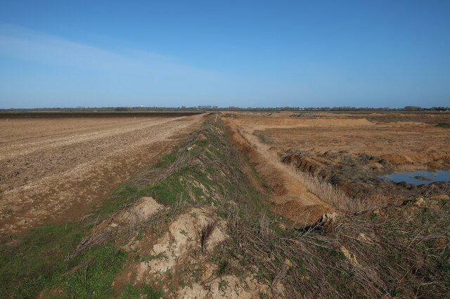
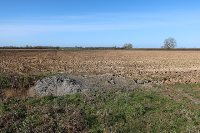
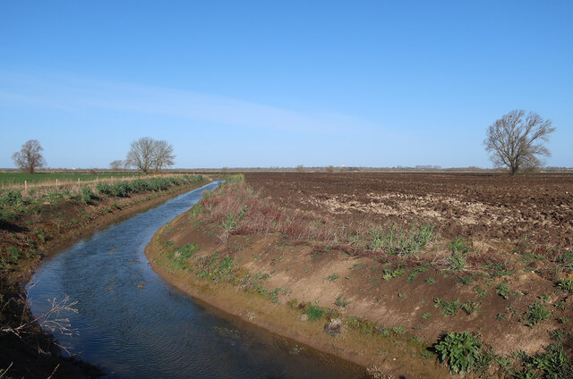
Hermitage, The Images

Images are sourced within 2km of 52.346462/0.03916277 or Grid Reference TL3974. Thanks to Geograph Open Source API. All images are credited.

Bridleway across Mere Holes Following a circuitous route to Earith.
Bridleway across Mere Holes
Following a circuitous route to Earith.
Engine Drain Draining the farmland to a nearby pumping station by the River Great Ouse.
Engine Drain
Draining the farmland to a nearby pumping station by the River Great Ouse.
Looking towards Bridge Farm
Weathersome Common Bridleway along the ditch.
Weathersome Common
Bridleway along the ditch.
Engine Drain Draining the farmland to a nearby pumping station by the River Great Ouse.
Engine Drain
Draining the farmland to a nearby pumping station by the River Great Ouse.
Ditch across Mere Holes
Bridleway to Earith
Bridleway to Earith
Cows in The Gulls Small area of washland by the River Great Ouse.
Cows in The Gulls
Small area of washland by the River Great Ouse.
Upper Delphs Looking away from the River Great Ouse.
Upper Delphs
Looking away from the River Great Ouse.
Belt of trees near Hermitage Farm, Earith
Hanson sand and gravel quarry The area will be added to the RSPB Ouse Fen reserve when extraction is completed.
Hanson sand and gravel quarry
The area will be added to the RSPB Ouse Fen reserve when extraction is completed.
Edge of the quarry The quarry will spread across the farmland and then the area will be added to the RSPB Ouse Fen reserve when extraction is completed to create a large wetland.
Edge of the quarry
The quarry will spread across the farmland and then the area will be added to the RSPB Ouse Fen reserve when extraction is completed to create a large wetland.
Field by the quarry The quarry will soon expand across this area as well.
Field by the quarry
The quarry will soon expand across this area as well.
Diverted drainage ditch The IDB drains need to be moved as the quarry expands, with the bridleway diverted to match.
Diverted drainage ditch
The IDB drains need to be moved as the quarry expands, with the bridleway diverted to match.
Great Ouse (Old West River) at dusk Between Earith and Willingham
Great Ouse (Old West River) at dusk
Between Earith and Willingham
Upper Delph Drove
Upper Delph Drove
The Great Ouse, Earith
Great White Egret by the Great Ouse, Earith I have been informed they are now quite popular here.
Great White Egret by the Great Ouse, Earith
I have been informed they are now quite popular here.
Show me another place!

Hermitage, The is located at Grid Ref: TL3974 (Lat: 52.346462, Lng: 0.03916277)

Administrative County: Cambridgeshire

District: South Cambridgeshire

Police Authority: Cambridgeshire

What 3 Words

///curly.victor.complain. Near Earith, Cambridgeshire

Related Wikis

Old Bedford River

The Old Bedford River is an artificial, partial diversion of the waters of the River Great Ouse in the Fens of Cambridgeshire, England. It was named after...

Earith Bridge railway station

Earith Bridge railway station was a station in Earith, Cambridgeshire on the Ely and St Ives Railway. It was closed to regular passenger trains in 1931...

Berry Fen

Berry Fen is a 15.3-hectare (38-acre) biological Site of Special Scientific Interest on the western outskirts of Earith in Cambridgeshire.This neutral...

Earith

Earith is a village and civil parish in Cambridgeshire, England. Lying approximately 10 miles (16 km) east of Huntingdon, Earith is situated within Huntingdonshire...

Nearby Amenities

Located within 500m of 52.346462,0.03916277
Crane's Fen
Alt Name: Cell 8
Place: locality
Lat/Long: 52.3482771/0.0383087
Long Lockspits
Place: locality
Lat/Long: 52.3463941/0.0426658
Long Shelfords
Place: locality
Lat/Long: 52.3481506/0.0447472
Lockspit's viewpoint
Tourism: viewpoint
Lat/Long: 52.3476662/0.045447
Bench
Backrest: no
Material: wood
Seats: 2
Lat/Long: 52.3497466/0.0409161
Long Holme
Alt Name: Cell 7
Place: locality
Lat/Long: 52.3469108/0.0325686
Information: guidepost
Tourism: information
Lat/Long: 52.3478948/0.0460037
Information: guidepost
Tourism: information
Lat/Long: 52.3476477/0.0459063
Information: guidepost
Tourism: information
Lat/Long: 52.3497727/0.0409584
The data included in this document is from www.openstreetmap.org. The data is made available under ODbL.

Have you been to Hermitage, The?

Leave your review of Hermitage, The below (or comments, questions and feedback).