Tarden
Settlement in Derbyshire
England
Tarden
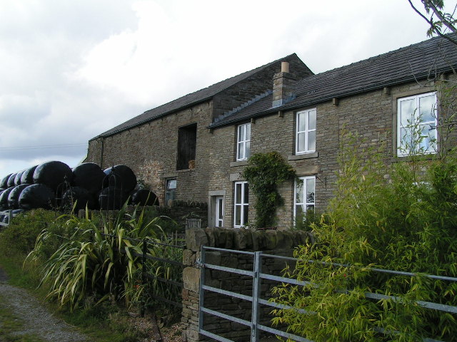
Tarden is a small village located in the county of Derbyshire, England. Situated on the eastern edge of the Peak District National Park, it is nestled within a picturesque rural landscape. Tarden is approximately 8 miles southeast of the city of Sheffield and 14 miles west of Chesterfield.
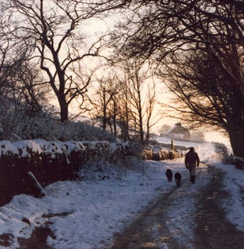
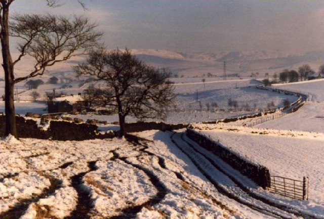
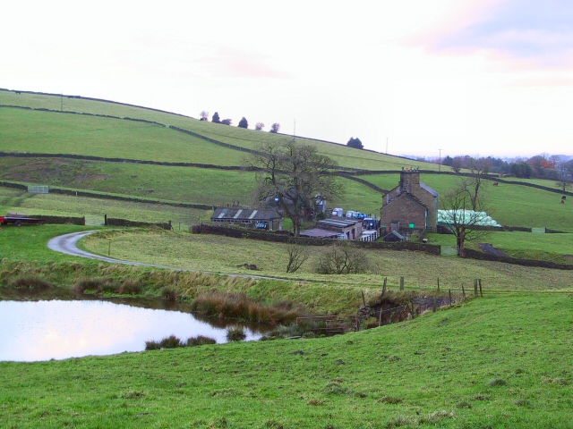
The village is known for its natural beauty, with rolling green hills, meandering streams, and charming stone cottages. The surrounding area offers numerous opportunities for outdoor activities, including hiking, cycling, and horse riding. Tarden is also close to several popular attractions, such as Chatsworth House, Haddon Hall, and the Heights of Abraham.
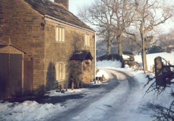
Despite its small size, Tarden has a close-knit community and a rich history. The village dates back to medieval times, and there are still remnants of its past, including a historic church and a few old buildings. The locals take pride in preserving the village's heritage while embracing modern developments.
Facilities in Tarden are limited, with a small shop, a pub, and a primary school serving the community. However, residents have access to a wider range of amenities in nearby towns and cities. The village is well-connected by road, with the A621 providing easy access to surrounding areas.
Tarden offers a tranquil and idyllic lifestyle, making it an attractive destination for those seeking a peaceful retreat amidst scenic surroundings. Its proximity to the Peak District National Park ensures that nature enthusiasts and outdoor adventurers are never far away from stunning landscapes and exciting activities.
If you have any feedback on the listing, please let us know in the comments section below.
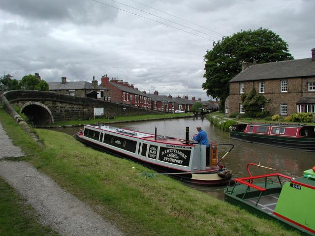
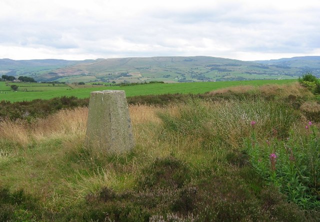
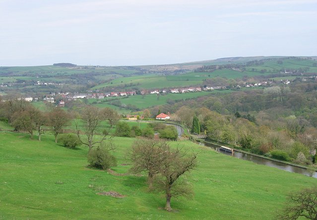
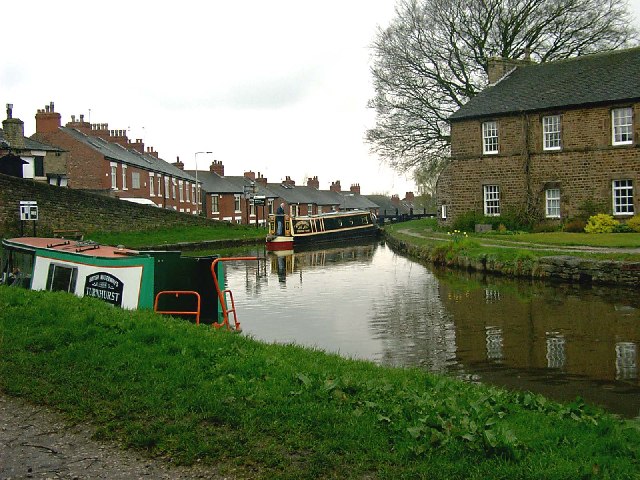
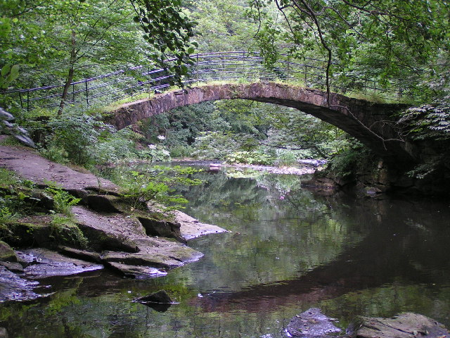
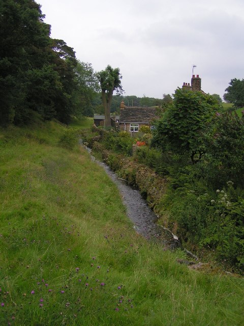
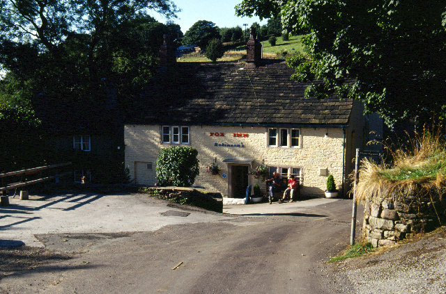
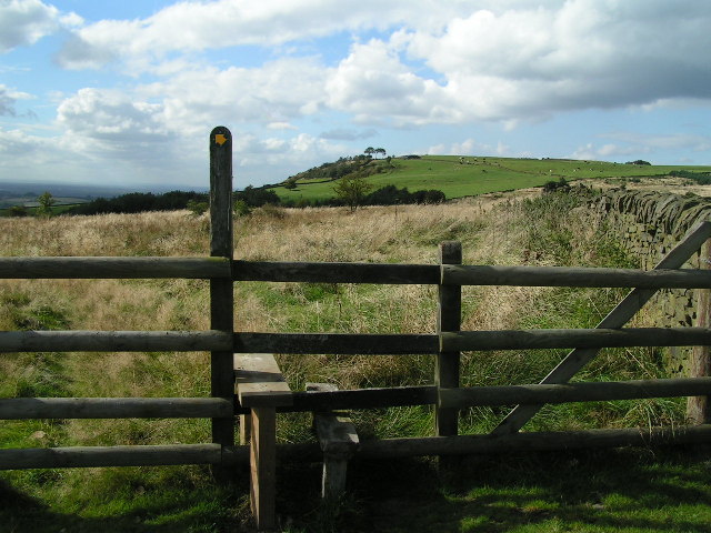
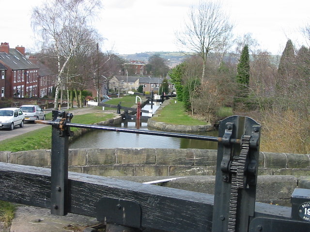
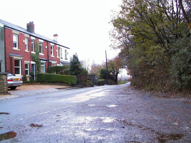
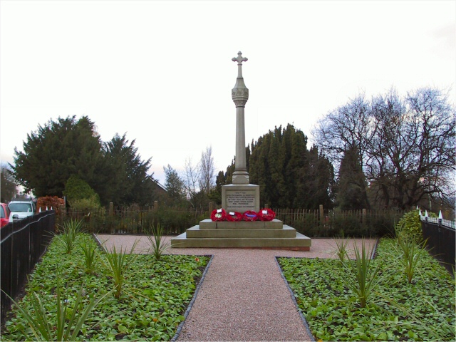
Tarden Images
Images are sourced within 2km of 53.389904/-2.030792 or Grid Reference SJ9888. Thanks to Geograph Open Source API. All images are credited.
Tarden is located at Grid Ref: SJ9888 (Lat: 53.389904, Lng: -2.030792)
Unitary Authority: Stockport
Police Authority: Greater Manchester
What 3 Words
///paler.engine.stickler. Near Marple, Manchester
Nearby Locations
Related Wikis

Mellor, Greater Manchester
Mellor is a village in Greater Manchester, England, lying between Marple Bridge and New Mills, Derbyshire.Buildings in the village include St. Thomas'...

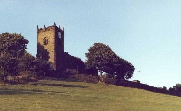
St Thomas' Church, Mellor
St. Thomas' Church is at the top of a lane overlooking the village of Mellor, Greater Manchester, England with views over Manchester, Cheshire and beyond...

Mellor hill fort
Mellor hill fort is a prehistoric site in North West England, that dates from the British Iron Age—about 800 BC to 100 AD. Situated on a hill in Mellor...

Mellor Mill
Mellor Mill, also known as Bottom's Mill, was a six-story cotton mill in Marple, Greater Manchester built by Samuel Oldknow in 1793. This was a six-storey...

Marple Bridge
Marple Bridge is a district of Marple in the Metropolitan Borough of Stockport, Greater Manchester, England, on the River Goyt, which runs through the...
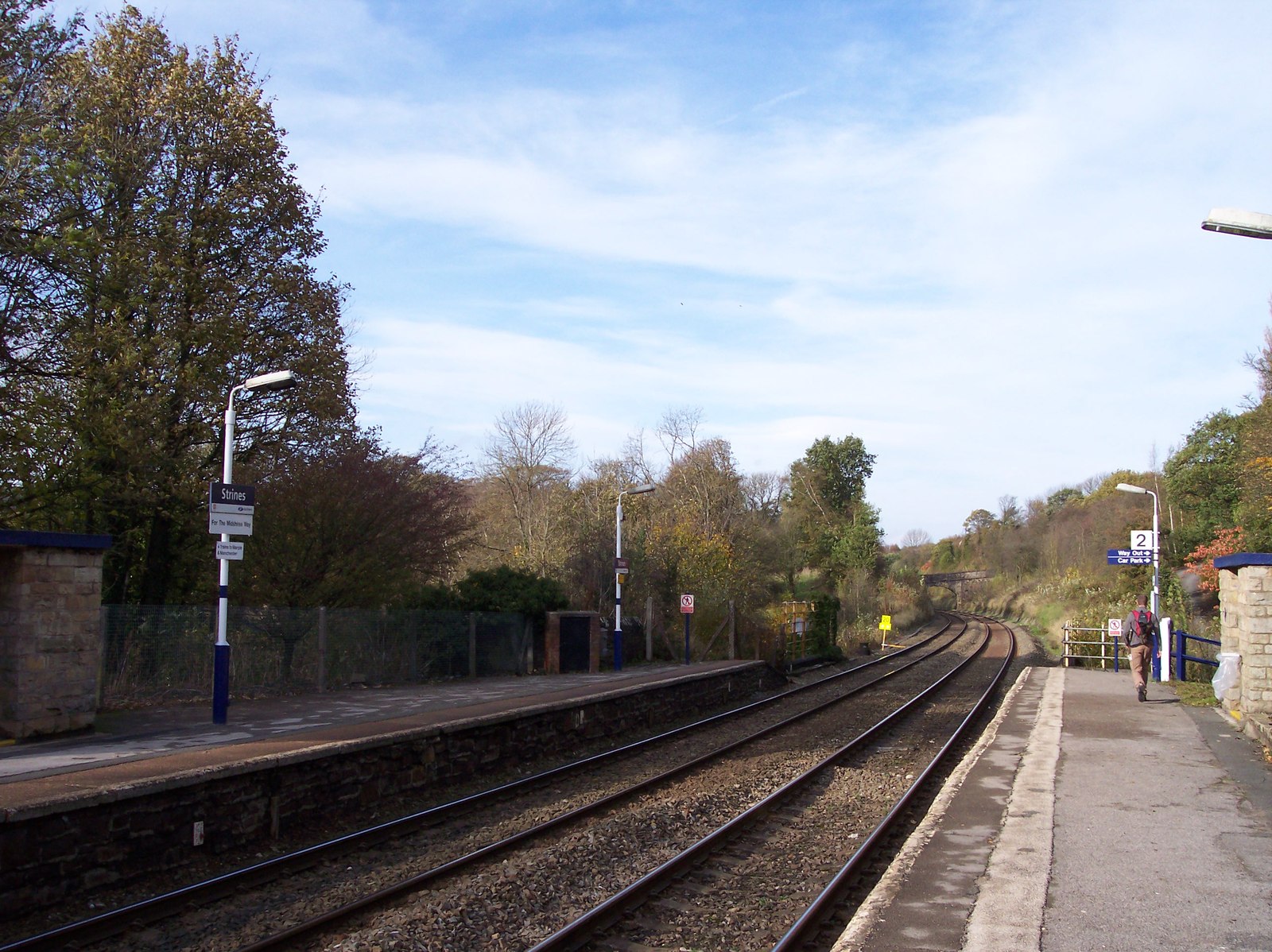
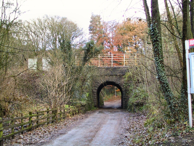
Strines railway station
Strines railway station serves the village of Strines, in the Metropolitan Borough of Stockport, on the outskirts of Greater Manchester, England. Until...
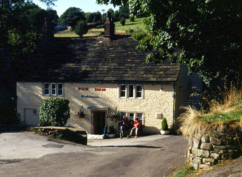
Brookbottom
Brookbottom is a hamlet about a mile outside New Mills in the High Peak borough of Derbyshire, England. It has one pub, the Fox Inn, one phone box but...

All Saints Church, Marple
All Saints Church is in Church Lane, Marple, Greater Manchester, England. It is recorded in the National Heritage List for England as a designated Grade...
Nearby Amenities
Located within 500m of 53.389904,-2.030792Have you been to Tarden?
Leave your review of Tarden below (or comments, questions and feedback).