Knowle Wood
Wood, Forest in Derbyshire
England
Knowle Wood

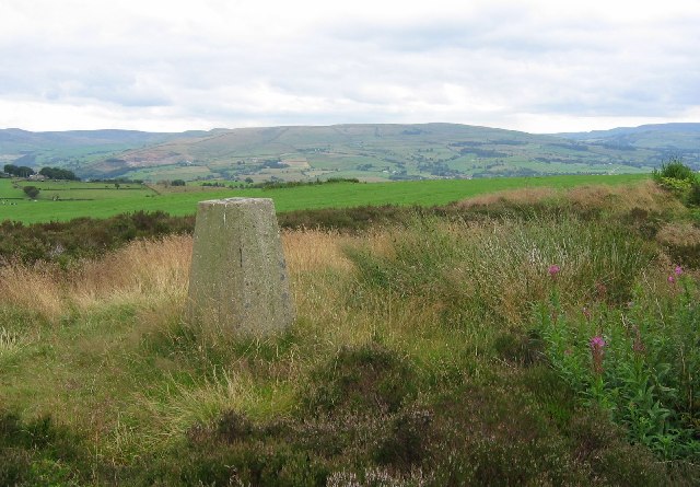
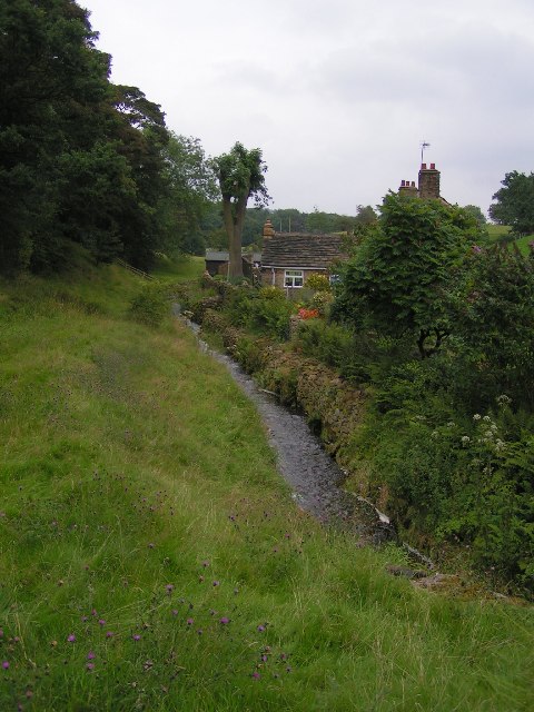
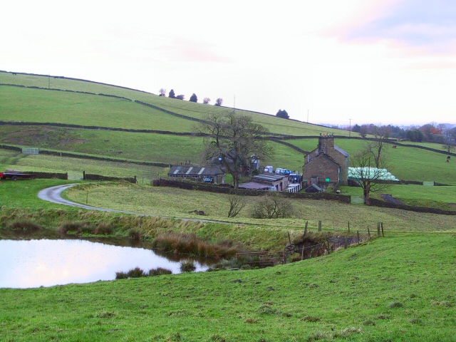
Knowle Wood is a picturesque forest located in Derbyshire, England. Covering an area of approximately 200 acres, this woodland is a haven for nature lovers and outdoor enthusiasts. Known for its diverse ecosystem, Knowle Wood is home to a wide range of flora and fauna, making it a perfect destination for wildlife enthusiasts.
The wood is primarily composed of broadleaf trees, including oak, beech, and birch. These trees provide a dense canopy, casting a shadow over the forest floor and creating a tranquil atmosphere. The woodland floor is carpeted with a variety of wildflowers, such as bluebells and primroses, creating a vibrant display during the spring and summer months.
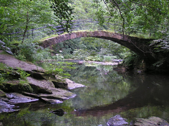
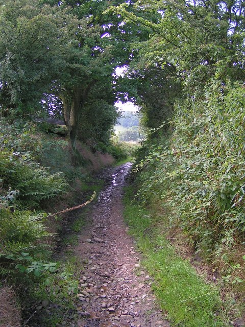
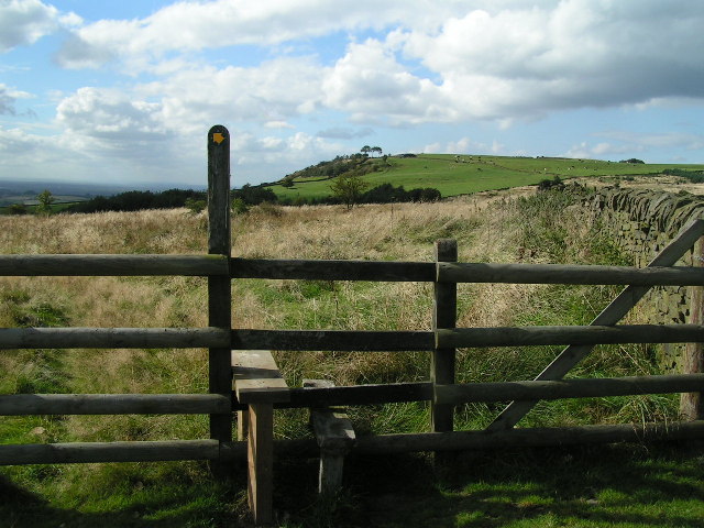
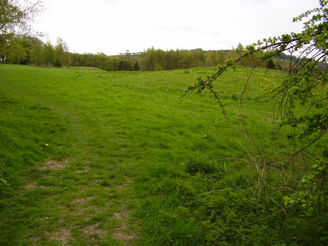
Knowle Wood is crisscrossed by several well-maintained walking trails, allowing visitors to explore the forest's beauty at their own pace. These pathways lead through ancient woodlands, past babbling brooks, and up gentle hills, offering breathtaking views of the surrounding countryside.
Nature enthusiasts will be delighted to spot a wide array of wildlife in Knowle Wood. The forest is home to various bird species, including woodpeckers, owls, and thrushes. Squirrels can be seen scampering through the treetops, while rabbits and deer occasionally make appearances in the more secluded areas.
In addition to its natural beauty, Knowle Wood also holds historical significance. The forest has been a protected area for centuries, and remnants of ancient settlements and burial mounds can still be found scattered throughout the wood.
Overall, Knowle Wood is a captivating destination that offers a peaceful retreat from the hustle and bustle of everyday life. Whether you are a nature lover, a history enthusiast, or simply seeking solace in the great outdoors, this woodland gem in Derbyshire is sure to leave a lasting impression.
If you have any feedback on the listing, please let us know in the comments section below.
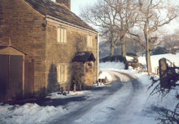
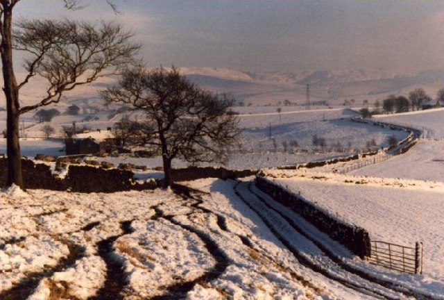
Knowle Wood Images
Images are sourced within 2km of 53.394094/-2.0314197 or Grid Reference SJ9888. Thanks to Geograph Open Source API. All images are credited.


Knowle Wood is located at Grid Ref: SJ9888 (Lat: 53.394094, Lng: -2.0314197)
Unitary Authority: Stockport
Police Authority: Greater Manchester
What 3 Words
///drift.evoke.sleepless. Near Marple, Manchester
Nearby Locations
Related Wikis

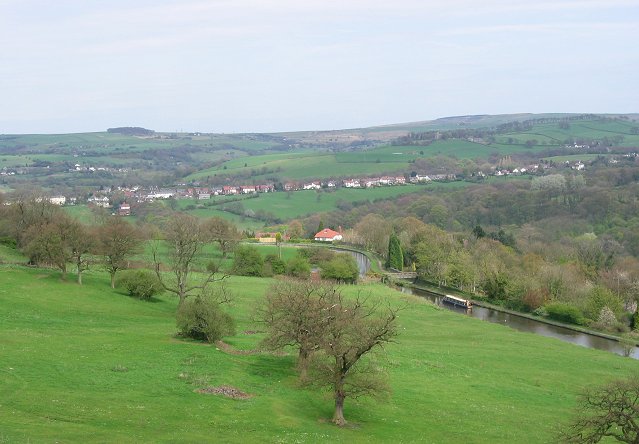
Mellor, Greater Manchester
Mellor is a village in Greater Manchester, England, lying between Marple Bridge and New Mills, Derbyshire.Buildings in the village include St. Thomas'...

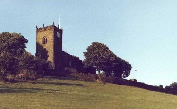
St Thomas' Church, Mellor
St. Thomas' Church is at the top of a lane overlooking the village of Mellor, Greater Manchester, England with views over Manchester, Cheshire and beyond...

Mellor hill fort
Mellor hill fort is a prehistoric site in North West England, that dates from the British Iron Age—about 800 BC to 100 AD. Situated on a hill in Mellor...

Marple Bridge
Marple Bridge is a district of Marple in the Metropolitan Borough of Stockport, Greater Manchester, England, on the River Goyt, which runs through the...

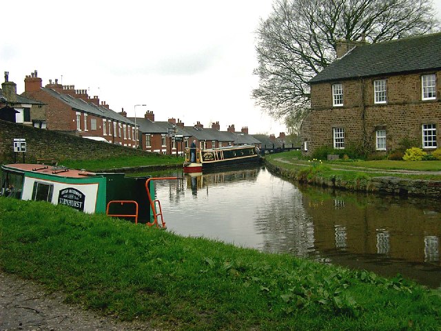
Mellor Mill
Mellor Mill, also known as Bottom's Mill, was a six-story cotton mill in Marple, Greater Manchester built by Samuel Oldknow in 1793. This was a six-storey...
Ludworth, Greater Manchester
Ludworth is an area of Marple, Greater Manchester in Greater Manchester. Ludworth Civil Parish was created in 1896; it was part of Glossop Dale Rural District...

Church of St Martin, Marple
The Church of St Martin is a 19th-century church in Marple, Greater Manchester, England (grid reference SJ963894). It was designed by J. D. Sedding for...
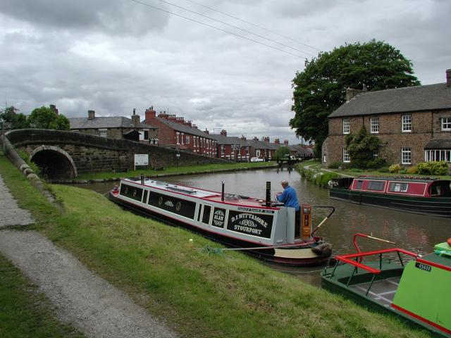
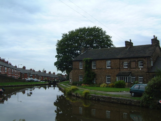
Marple Junction
Marple Junction (grid reference SJ961884) is the name of the canal junction where the Macclesfield Canal terminates and meets the Peak Forest Canal at...
Nearby Amenities
Located within 500m of 53.394094,-2.0314197Have you been to Knowle Wood?
Leave your review of Knowle Wood below (or comments, questions and feedback).