Bog Wood
Wood, Forest in Yorkshire Craven
England
Bog Wood

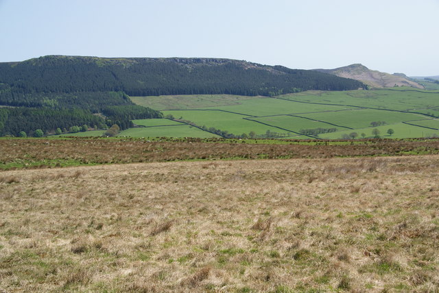
Bog Wood, Yorkshire, is a small woodland located in the county of Yorkshire, England. Situated in the southern part of the county, the forest covers an area of approximately 100 acres. It is known for its unique and diverse ecosystem, drawing nature enthusiasts and hikers alike.
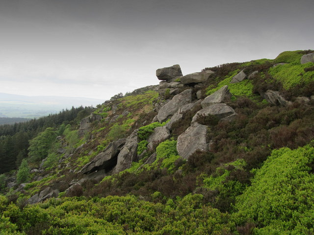
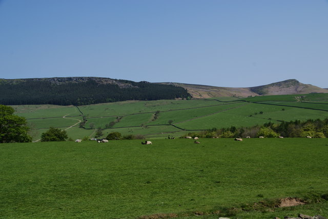
The woodland is primarily composed of ancient oak and beech trees, which provide a dense canopy that filters sunlight, creating a cool and shaded environment. The forest floor is covered with a thick layer of moss, ferns, and wildflowers, giving it a vibrant and picturesque appearance.
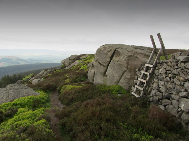
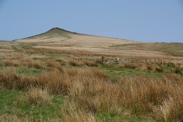
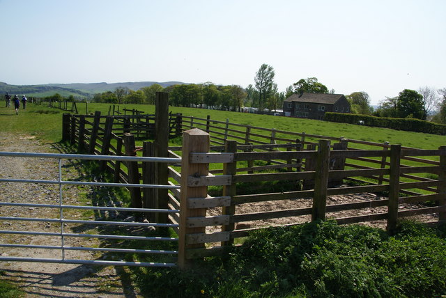
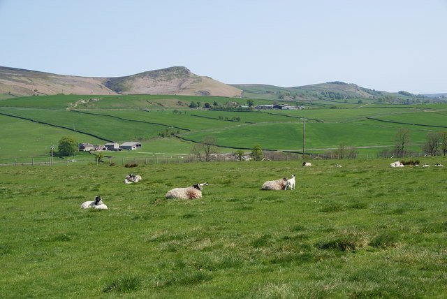
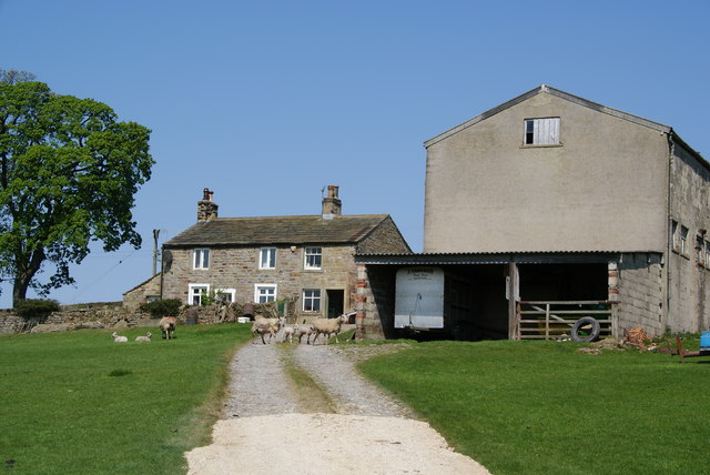
Bog Wood is named for the presence of numerous small boggy areas scattered throughout the woodland. These wetland areas are home to a variety of plant and animal species that thrive in this damp environment. Visitors can expect to see an array of wildlife, including frogs, newts, and a wide variety of bird species.
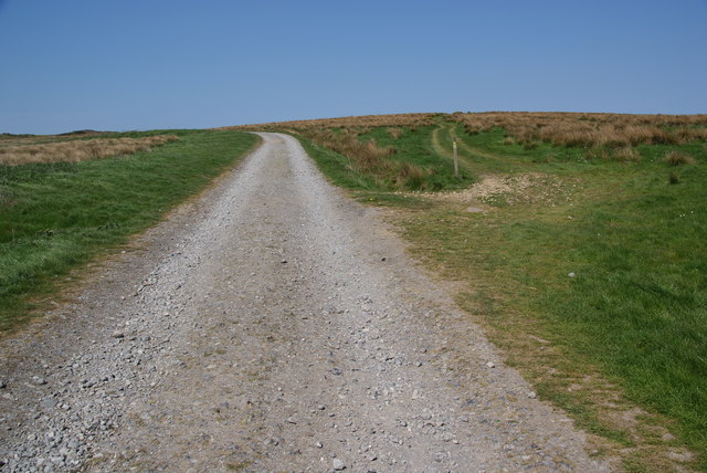
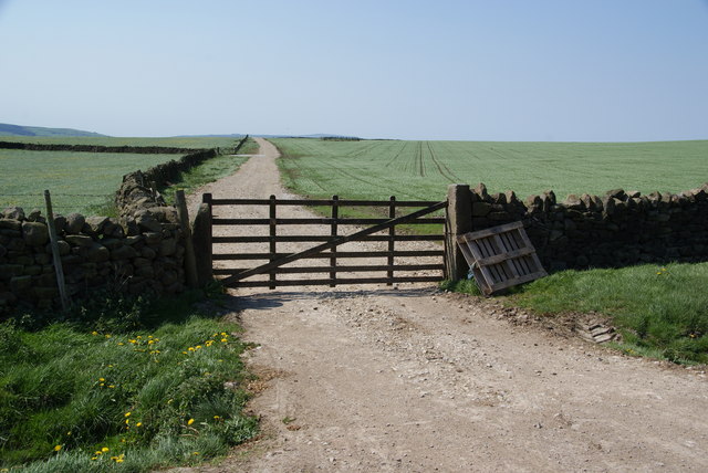
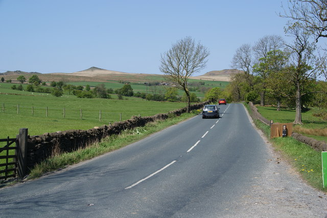
The woodland is crisscrossed by several well-maintained walking trails, providing visitors with the opportunity to explore the forest and enjoy the tranquility of nature. These trails vary in difficulty, catering to both casual strollers and more experienced hikers.
Bog Wood is a popular destination for nature enthusiasts and offers a peaceful retreat from the hustle and bustle of everyday life. Whether it's taking a leisurely stroll, birdwatching, or simply enjoying the sights and sounds of the forest, Bog Wood provides a captivating experience for visitors of all ages.
If you have any feedback on the listing, please let us know in the comments section below.
Bog Wood Images
Images are sourced within 2km of 53.982816/-2.0318647 or Grid Reference SD9854. Thanks to Geograph Open Source API. All images are credited.


Bog Wood is located at Grid Ref: SD9854 (Lat: 53.982816, Lng: -2.0318647)
Division: West Riding
Administrative County: North Yorkshire
District: Craven
Police Authority: North Yorkshire
What 3 Words
///slamming.cookie.otherwise. Near Skipton, North Yorkshire
Nearby Locations
Related Wikis
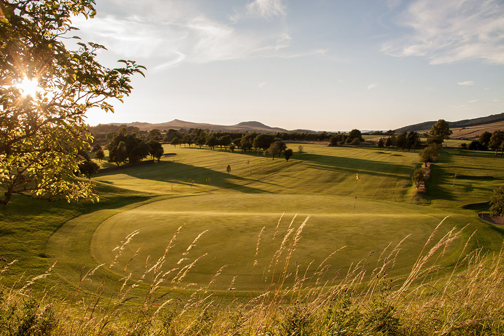
Skipton Golf Club
Skipton Golf Club is a golf club located within the English county of North Yorkshire. Founded within 1893, the club was originally located a short distance...
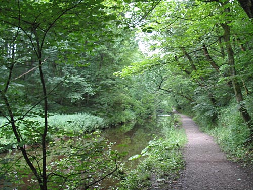
Skipton Wood
Skipton Wood (also known as Skipton Castle Woods, Castle Wood or Springs Wood) is a 36-acre (15 ha) wood following the valley of Eller Beck to the north...

Embsay Reservoir
Embsay Reservoir is located above the village of Embsay, near Skipton in the Yorkshire Dales in North Yorkshire, England. It is owned by Yorkshire Water...

Skipton Girls' High School
Skipton Girls' High School, founded in 1886 by the Petyt Trust, is an all-girls selective grammar school situated in Skipton, North Yorkshire, England...
Nearby Amenities
Located within 500m of 53.982816,-2.0318647Have you been to Bog Wood?
Leave your review of Bog Wood below (or comments, questions and feedback).