Tardebigge

Settlement in Worcestershire Bromsgrove

England

Tardebigge

Layby on Bromsgrove Highway, near Hewell Grange The 4-mile dual carriageway from Slideslow, Bromsgrove (just east of current Slideshow Island) to Birchfield Road, Webheath was opened in 1975. It bypassed the villages of Tardebigge and Finstall (<span class="nowrap"><a title="https://www.sabre-roads.org.uk/wiki/index.php?title=A448" rel="nofollow ugc noopener" href="https://www.sabre-roads.org.uk/wiki/index.php?title=A448">Link</a><img style="margin-left:2px;" alt="External link" title="External link - shift click to open in new window" src="https://s1.geograph.org.uk/img/external.png" width="10" height="10"/></span> Roader's Digest: The SABRE Wiki)
Layby on Bromsgrove Highway, near Hewell Grange Credit: David Dixon

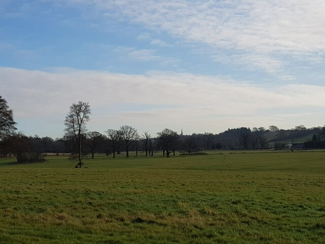
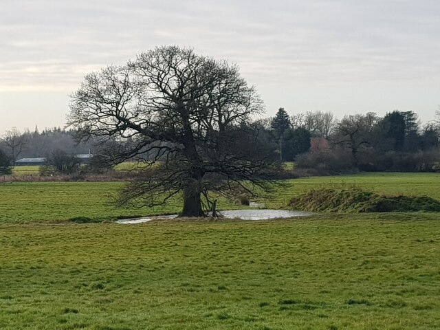
Tardebigge is a village located in the county of Worcestershire, England. Situated approximately 4 miles southeast of the town of Bromsgrove, Tardebigge is nestled in the picturesque countryside of the West Midlands region. The village is surrounded by rolling hills and farmland, offering residents and visitors stunning views and a tranquil atmosphere.

Tardebigge is known for its historic features, most notably the Tardebigge Locks, which form part of the Worcester and Birmingham Canal. These locks, a flight of 30 in total, make it the longest flight of locks in the United Kingdom. The canal is a popular attraction for boating enthusiasts and walkers, with its peaceful towpath providing a scenic route for leisurely strolls.

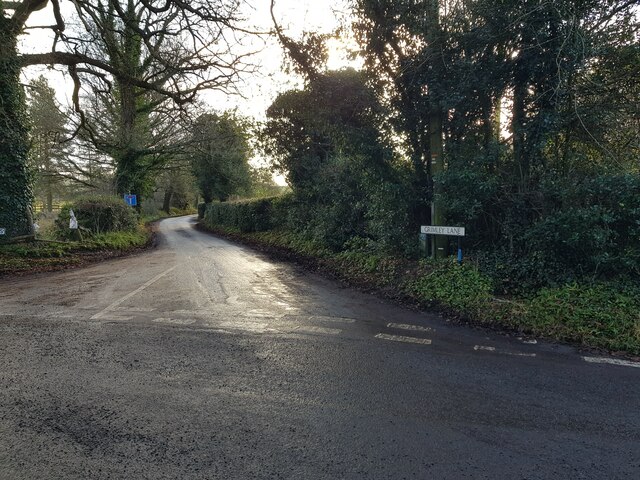
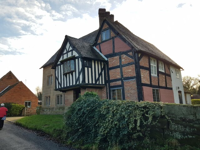
The village itself boasts a charming mix of traditional and modern architecture, with a range of residential properties and amenities. Tardebigge has a primary school, a village hall, and a local pub that serves as a social hub for the community. The village also hosts an annual summer fete, attracting visitors from near and far to enjoy various stalls, entertainment, and delicious local food.

For those seeking outdoor activities, Tardebigge offers access to several nature reserves and country parks, such as Lickey Hills Country Park and the Clent Hills, which are popular destinations for hiking, wildlife spotting, and enjoying the great outdoors.

Overall, Tardebigge is a quintessential English village, known for its natural beauty, historic canal locks, and close-knit community.

If you have any feedback on the listing, please let us know in the comments section below.
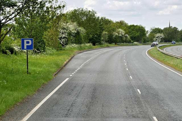
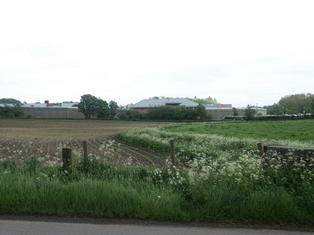
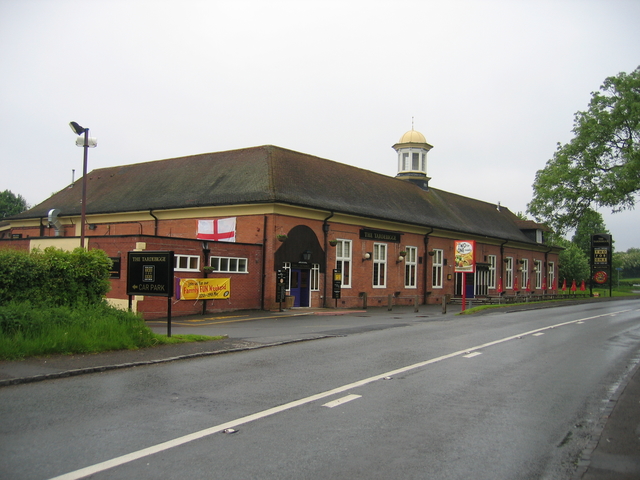
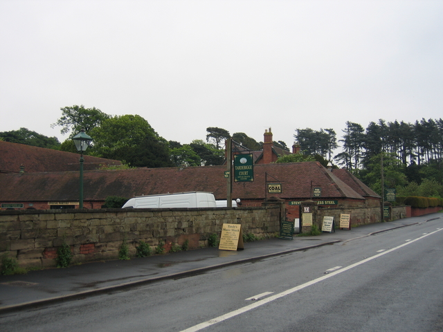
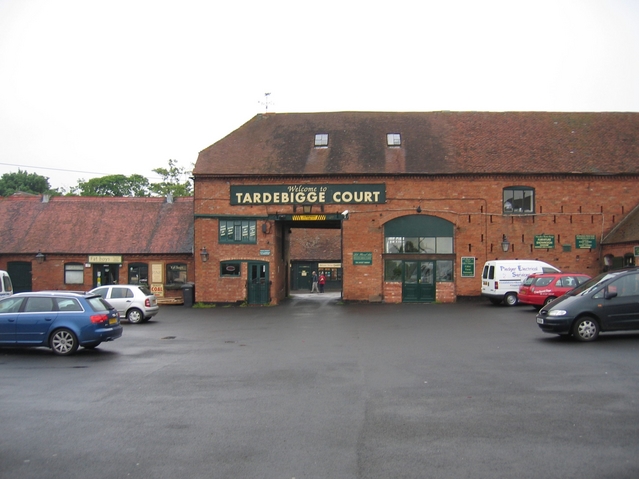
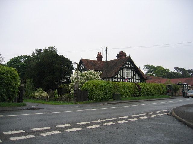
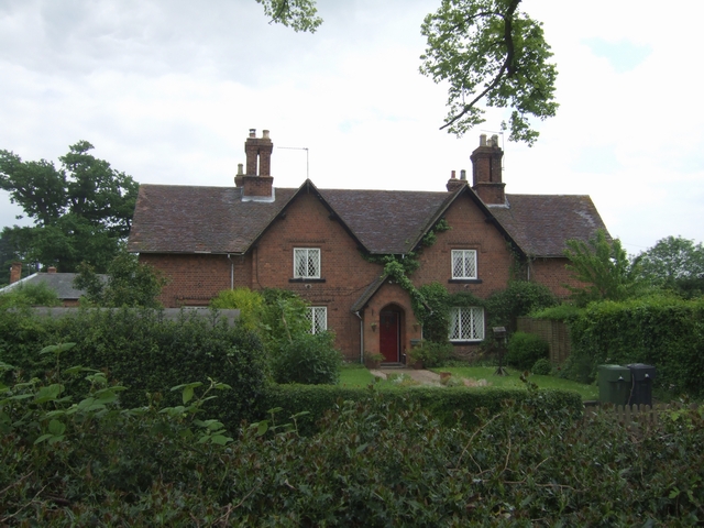
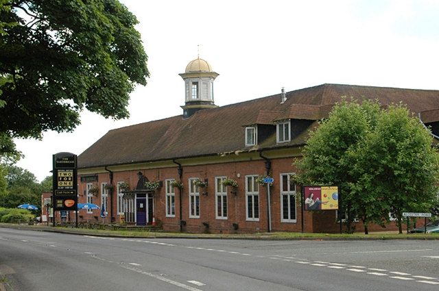
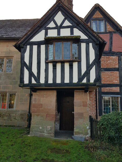
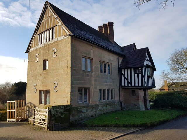
Tardebigge Images

Images are sourced within 2km of 52.322126/-2.011999 or Grid Reference SO9969. Thanks to Geograph Open Source API. All images are credited.

Layby on Bromsgrove Highway, near Hewell Grange The 4-mile dual carriageway from Slideslow, Bromsgrove (just east of current Slideshow Island) to Birchfield Road, Webheath was opened in 1975. It bypassed the villages of Tardebigge and Finstall (<span class="nowrap"><a title="https://www.sabre-roads.org.uk/wiki/index.php?title=A448" rel="nofollow ugc noopener" href="https://www.sabre-roads.org.uk/wiki/index.php?title=A448">Link</a><img style="margin-left:2px;" alt="External link" title="External link - shift click to open in new window" src="https://s1.geograph.org.uk/img/external.png" width="10" height="10"/></span> Roader's Digest: The SABRE Wiki)
Layby on Bromsgrove Highway, near Hewell Grange
The 4-mile dual carriageway from Slideslow, Bromsgrove (just east of current Slideshow Island) to Birchfield Road, Webheath was opened in 1975. It bypassed the villages of Tardebigge and Finstall (LinkExternal link Roader's Digest: The SABRE Wiki)
Open fields; closed prison HM Prison which, along with HM Remand Centre, Brockhill, and HM Young Offenders' Institution, Hewell Grange, makes up a surprising concentration of corrective establishments in this square.
Open fields; closed prison
HM Prison which, along with HM Remand Centre, Brockhill, and HM Young Offenders' Institution, Hewell Grange, makes up a surprising concentration of corrective establishments in this square.
The Tardebigge This large barn of a pub in Hewell Lane is marked on the OS map and was built in 1911 according to the date on the small tower.
The Tardebigge
This large barn of a pub in Hewell Lane is marked on the OS map and was built in 1911 according to the date on the small tower.
Tardebigge Court The arts and craft centre in Hewell Lane, Tardebigge.
Tardebigge Court
The arts and craft centre in Hewell Lane, Tardebigge.
Tardebigge Court The outer yard and entrance way through to the inner yard of the arts and craft centre at Tardebigge Court.
Tardebigge Court
The outer yard and entrance way through to the inner yard of the arts and craft centre at Tardebigge Court.
Lodge at Hewell Grange One of the Lodges at the former entrance to Hewell Grange from Hewell Lane.
Lodge at Hewell Grange
One of the Lodges at the former entrance to Hewell Grange from Hewell Lane.
Large estate cottage at Tardebigge
'The Tardebigge'
'The Tardebigge'
Hewell Grange Hewell Grange is large country house between Redditch and Bromsgrove, it was used as Borstal from 1946 to 1991 when it became HMP Hewell Grange (HMP Hewell from June 2008 when it merged with the neighbouring HMP Brockhill and HMP Blakenhurst).
Hewell Grange
Hewell Grange is large country house between Redditch and Bromsgrove, it was used as Borstal from 1946 to 1991 when it became HMP Hewell Grange (HMP Hewell from June 2008 when it merged with the neighbouring HMP Brockhill and HMP Blakenhurst).
View from Monarch's Way to distant Tardebigge Church
Bromsgrove Rugby Ground, Finstall Road
Tree and Pond, Finstall Park, Bromsgrove Taken from the Monarch's Way Path.
Tree and Pond, Finstall Park, Bromsgrove
Taken from the Monarch's Way Path.
Trees in a field near Stokes Cross Taken from the Monarch's Way Footpath.
Trees in a field near Stokes Cross
Taken from the Monarch's Way Footpath.
Drive to Little Hall Lodge on Walnut Lane, Stokes Cross
Grimley Lane leading to Tardebigge Reservoir
Stonehouse Farmhouse, Dusthouse Lane, Finstall (1)
Stonehouse Farmhouse, Dusthouse Lane, Finstall (entrance)
Stonehouse Farmhouse, Dusthouse Lane, Finstall (2)
Show me another place!

Tardebigge is located at Grid Ref: SO9969 (Lat: 52.322126, Lng: -2.011999)

Administrative County: Worcestershire

District: Bromsgrove

Police Authority: West Mercia

What 3 Words

///banquets.polished.ample. Near Bromsgrove, Worcestershire

Nearby Locations

Tardebigge

Related Wikis

Tardebigge Locks

Tardebigge Locks or the Tardebigge Flight is the longest flight of locks in the UK, comprising 30 narrow locks on a two-and-a-quarter-mile (3.6 km) stretch...

Tardebigge

Tardebigge () is a village in Worcestershire, England. The village is most famous for the Tardebigge Locks, a flight of 30 canal locks that raise the Worcester...

Tardebigge Engine House

Tardebigge Engine House (grid reference SO988689) is a former canal-pumping engine house at Tardebigge, Worcestershire, England. It is grade II listed...

Tutnall and Cobley

Tutnall and Cobley is a civil parish in the Bromsgrove District of Worcestershire, England. It has a population of 1,543. The villages of Tutnall and...

Nearby Amenities

Located within 500m of 52.322126,-2.011999
Tardebigge Top Lock
Seamark Type: gate
Waterway: lock_gate
Lat/Long: 52.3215039/-2.0101648
Seamark Type: gate
Waterway: lock_gate
Lat/Long: 52.3214569/-2.0105067
Bus Stop
Canal Tunnel
Bus: yes
Naptan AtcoCode: 2000G323205
Naptan Bearing: NW
Naptan CommonName: Canal Tunnel
Naptan Indicator: Opp
Naptan Landmark: Canal Tunnel
Naptan NaptanCode: wocdwdtp
Naptan Street: Alcester Road
Naptan Verified: no
Public Transport: platform
Source: naptan_import
Lat/Long: 52.3225248/-2.0066777
Bus Stop
Canal Tunnel
Bus: yes
Naptan AtcoCode: 2000G323206
Naptan Bearing: SE
Naptan CommonName: Canal Tunnel
Naptan Indicator: Adj
Naptan Landmark: Canal Tunnel
Naptan NaptanCode: wocdwdtw
Naptan Street: Alcester Road
Naptan Verified: no
Public Transport: platform
Source: naptan_import
Lat/Long: 52.3226357/-2.0065316
Barrier: stile
Source: survey
Lat/Long: 52.3214687/-2.0098358
Man Made: survey_point
Ref: OS BM 466
Source: survey
Lat/Long: 52.3196126/-2.0172765
Waterway: boatyard
Lat/Long: 52.3219699/-2.0080626
Waterway: turning_point
Lat/Long: 52.3217971/-2.0085198
Post Box
Post Box Type: wall
Ref: B60 283
Lat/Long: 52.32277/-2.0074837
Barrier: stile
Bicycle: no
Foot: designated
Horse: no
Motor Vehicle: no
Lat/Long: 52.3241903/-2.0108451
Generator Method: photovoltaic
Generator Output Electricity: yes
Generator Source: solar
Generator Type: solar_photovoltaic_panel
Location: roof
Power: generator
Lat/Long: 52.3183737/-2.0092763
Generator Method: photovoltaic
Generator Output Electricity: yes
Generator Source: solar
Generator Type: solar_photovoltaic_panel
Location: roof
Power: generator
Lat/Long: 52.318372/-2.0093407
Tardebigge Wharf
Power: pole
Transformer: distribution
Voltage Primary: 11000
Lat/Long: 52.32234/-2.0090429
Power: pole
Lat/Long: 52.3241429/-2.0054635
Material: wood
Power: pole
Lat/Long: 52.3236093/-2.0060349
Material: wood
Power: pole
Lat/Long: 52.3234814/-2.007219
Material: wood
Power: pole
Lat/Long: 52.3231298/-2.0083228
Power: pole
Lat/Long: 52.3225556/-2.0093796
Power: pole
Lat/Long: 52.3229117/-2.008709
Power: pole
Lat/Long: 52.3221798/-2.0100877
Power: pole
Lat/Long: 52.3220519/-2.0109621
Church Cottages Tardebigge
Power: pole
Transformer: distribution
Voltage Primary: 11000
Lat/Long: 52.3180523/-2.0099361
Power: pole
Lat/Long: 52.3187401/-2.009908
Tardebigge School
Power: pole
Transformer: distribution
Voltage Primary: 11000
Lat/Long: 52.3197337/-2.0092052
Power: pole
Lat/Long: 52.319505/-2.0098811
Power: pole
Lat/Long: 52.3199519/-2.0102944
Power: pole
Lat/Long: 52.3205377/-2.0107693
Power: pole
Lat/Long: 52.3211559/-2.0112705
Power: pole
Lat/Long: 52.3214092/-2.0115146
Power: pole
Lat/Long: 52.3218941/-2.0120168
Power: pole
Lat/Long: 52.3217539/-2.012971
Brickyard Cottage
Power: pole
Transformer: distribution
Voltage Primary: 11000
Lat/Long: 52.3216191/-2.0139098
Power: pole
Lat/Long: 52.3215363/-2.0148513
Power: pole
Lat/Long: 52.321451/-2.0158128
Power: pole
Lat/Long: 52.3194484/-2.0172398
Power: pole
Lat/Long: 52.3198923/-2.0163674
Power: pole
Lat/Long: 52.3205305/-2.0165384
Power: pole
Lat/Long: 52.3213699/-2.0167583
London Lane
Power: pole
Transformer: distribution
Voltage Primary: 11000
Lat/Long: 52.3212834/-2.0177038
Power: pole
Lat/Long: 52.3222527/-2.019297
Power: pole
Lat/Long: 52.3217355/-2.0189711
Power: pole
Lat/Long: 52.3212051/-2.0186614
The data included in this document is from www.openstreetmap.org. The data is made available under ODbL.

Have you been to Tardebigge?

Leave your review of Tardebigge below (or comments, questions and feedback).