Swinton
Settlement in Yorkshire Harrogate
England
Swinton
Swinton is a small town located in the metropolitan borough of Rotherham, South Yorkshire, England. Situated approximately five miles northeast of Rotherham town center, Swinton is part of the wider region known as the Dearne Valley. The town lies on the A6023 road, which connects it to nearby towns and provides easy access to major cities like Sheffield and Doncaster.
Historically, Swinton was primarily an industrial town, with coal mining being the dominant industry during the 19th and 20th centuries. However, like many former mining towns, Swinton has seen a shift in its economic landscape over the years. The decline of the coal industry led to the closure of local mines, resulting in a diversification of employment opportunities.
Today, Swinton is a residential area with a mix of housing types, ranging from traditional terraced houses to modern developments. The town center features a variety of local shops, supermarkets, and amenities, catering to the needs of its residents. Additionally, there are several primary schools and a secondary school serving the local community.
For leisure and recreation, Swinton offers various options. The Swinton Lock Activity Centre, located on the nearby canal, provides opportunities for boating, fishing, and watersports. Additionally, the town has several parks and green spaces, including Kilnhurst Ings, which is popular among walkers and nature enthusiasts.
Overall, Swinton is a quiet and well-connected town that has retained its community spirit despite the changes in its industrial landscape. With its convenient location and range of amenities, it continues to be an attractive place to live for both families and commuters.
If you have any feedback on the listing, please let us know in the comments section below.
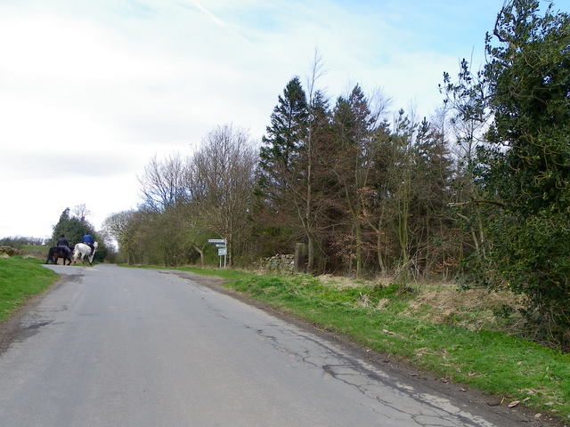
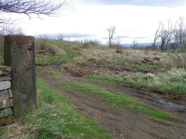
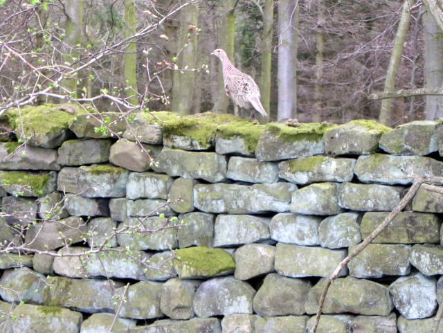
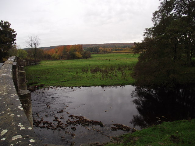
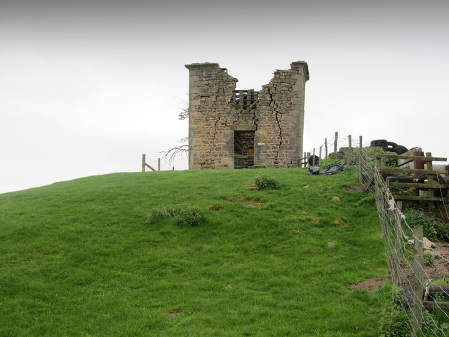
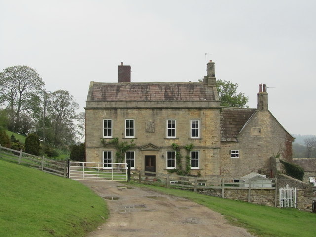
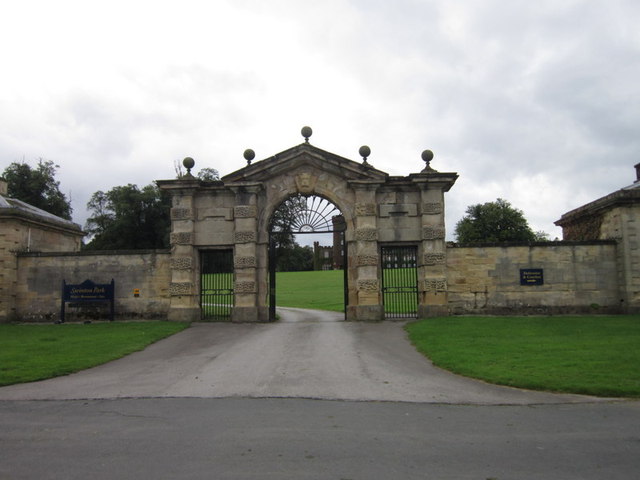
Swinton Images
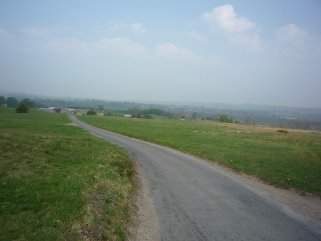
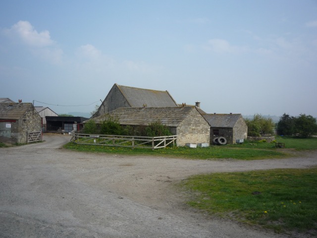
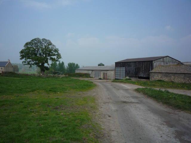
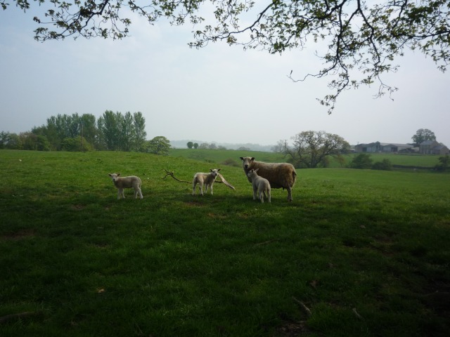
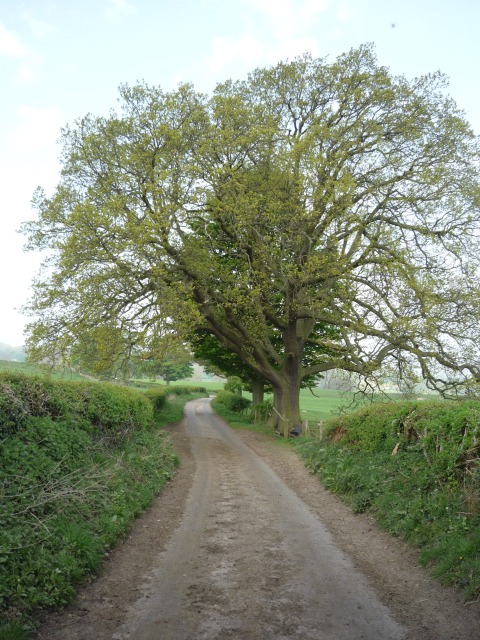
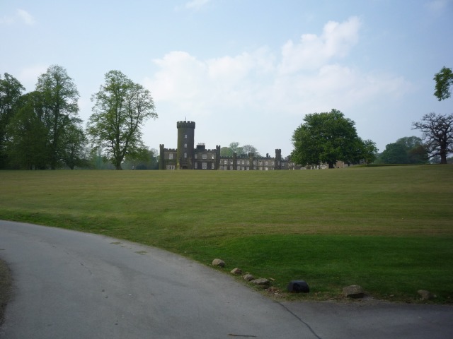
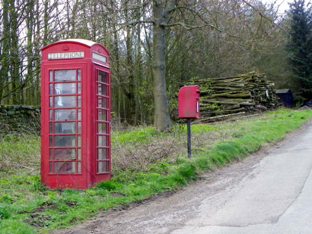
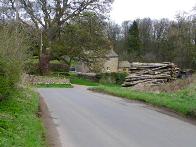
Images are sourced within 2km of 54.213067/-1.6726692 or Grid Reference SE2179. Thanks to Geograph Open Source API. All images are credited.

Swinton is located at Grid Ref: SE2179 (Lat: 54.213067, Lng: -1.6726692)
Division: North Riding
Administrative County: North Yorkshire
District: Harrogate
Police Authority: North Yorkshire
What 3 Words
///eradicate.stored.stamp. Near Masham, North Yorkshire
Nearby Locations
Related Wikis

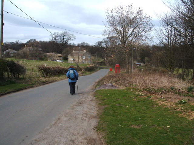
Swinton, Harrogate
Swinton is a small village in the Harrogate district of North Yorkshire, England. It is situated to the immediate south-west of Masham and separated from...

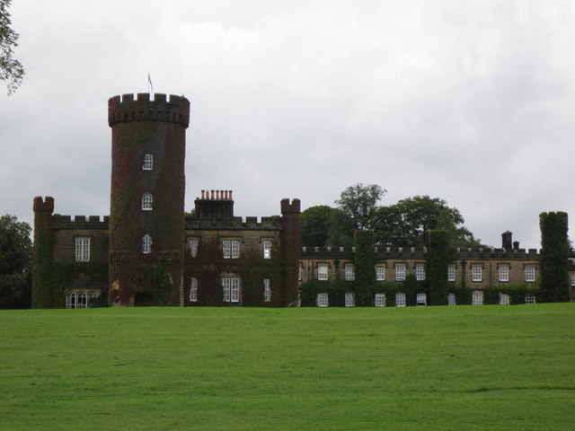
Swinton Estate
The Swinton Estate is a large privately owned estate in North Yorkshire, England. It comprises some 20,000 acres (8,100 ha) of countryside in the Nidderdale...
Warthermarske
Warthermarske is a hamlet in the Harrogate borough of North Yorkshire, England. It is near Swinton, about 1 mile (2 km) south-west of Masham. The village...
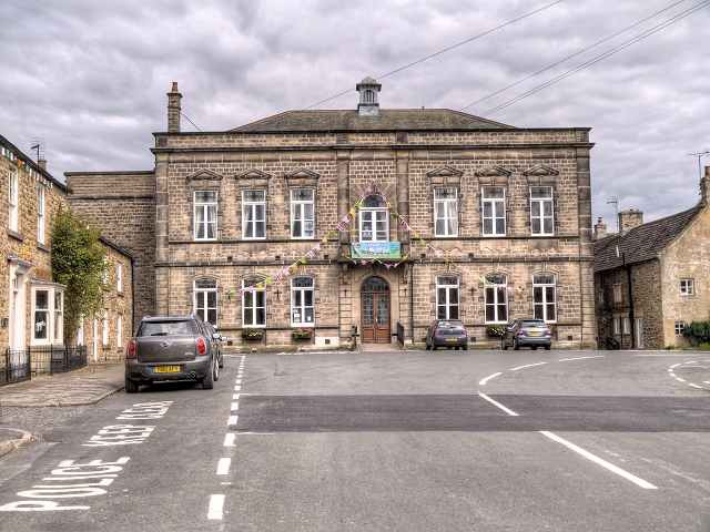
Masham Town Hall
Masham Town Hall is a municipal building in the Little Market Place, Masham, North Yorkshire, England. The structure, which is used as an events venue...
Swinton with Warthermarske
Swinton with Warthermarske is a civil parish in Harrogate district, North Yorkshire, England. The parish includes the village of Swinton and the hamlets...

Church of St Mary the Virgin, Masham
The Church of St Mary the Virgin, Masham (also known as the Church of St Mary or St Mary's Church), is the parish church in the town of Masham, North Yorkshire...
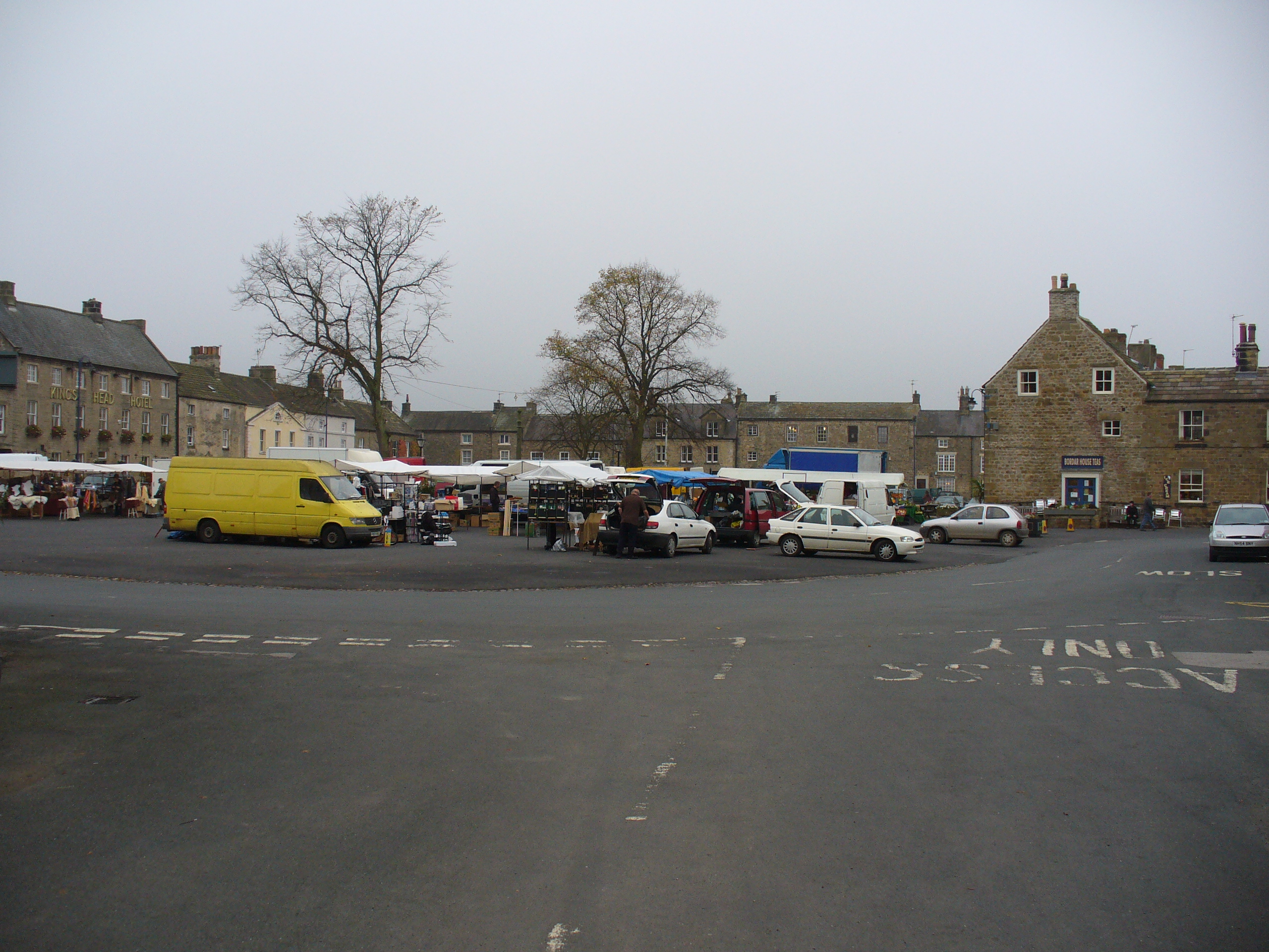
Masham
Masham ( MASS-əm) is a market town and civil parish in North Yorkshire, England. It had a population of 1,205 at the 2011 census. == Etymology == In Wensleydale...
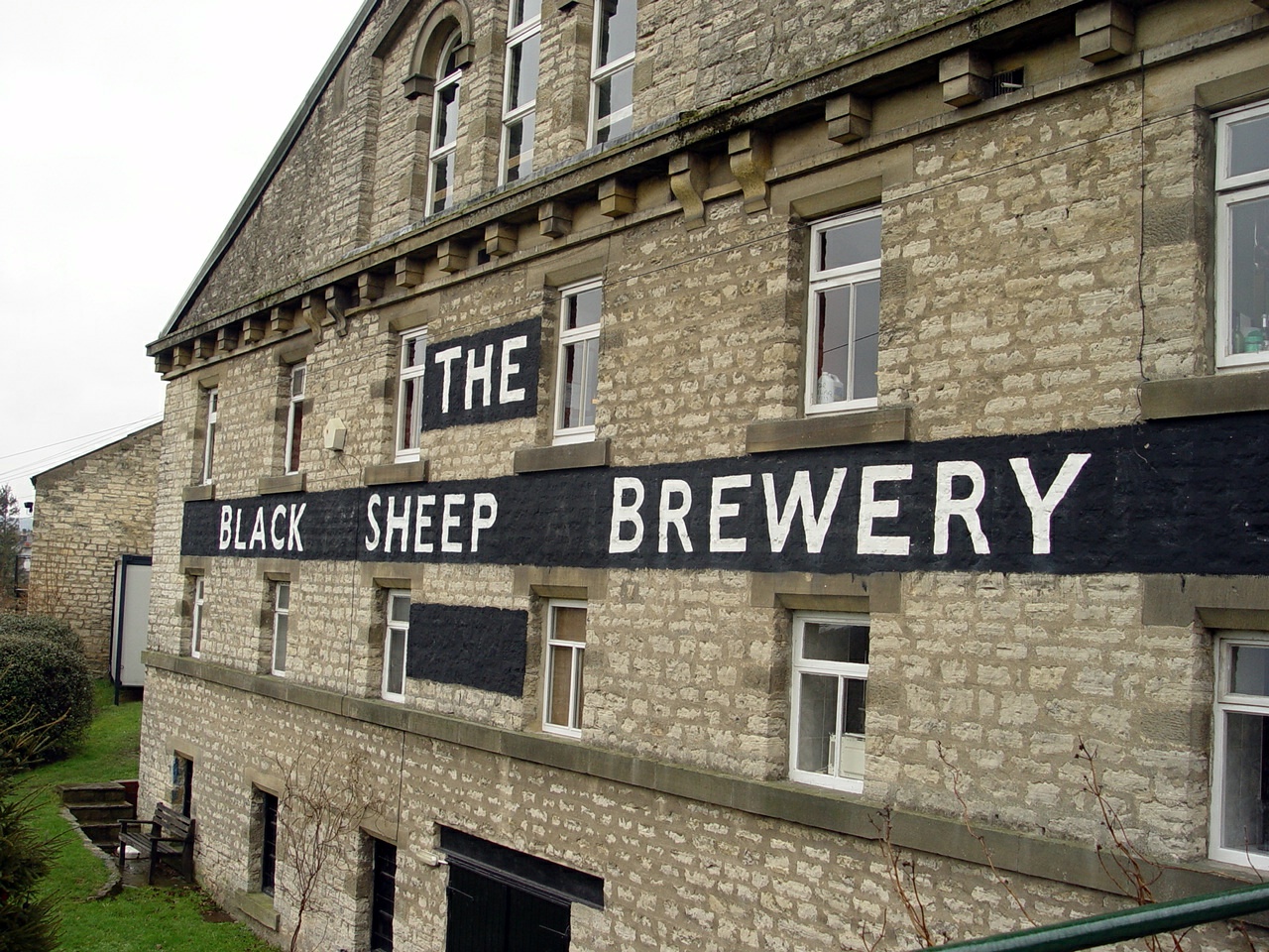
Black Sheep Brewery
The Black Sheep Brewery is a brewery in Masham, North Yorkshire, England. == History == The Black Sheep Brewery was established by Paul Theakston in 1991...
Nearby Amenities
Located within 500m of 54.213067,-1.6726692Have you been to Swinton?
Leave your review of Swinton below (or comments, questions and feedback).