High Swinton

Settlement in Yorkshire Harrogate

England

High Swinton

Road to Roomer The road to Masham and the road to Roomer & Swinton diverege here.
Road to Roomer Credit: DS Pugh

High Swinton is a small village located in the metropolitan borough of Rotherham, South Yorkshire, England. Situated approximately 6 miles northeast of the town of Rotherham and 11 miles southeast of Sheffield, High Swinton is nestled in the scenic countryside of Yorkshire.

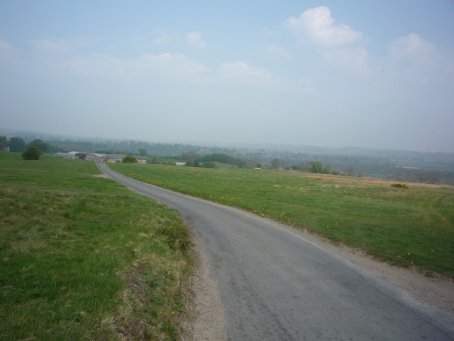
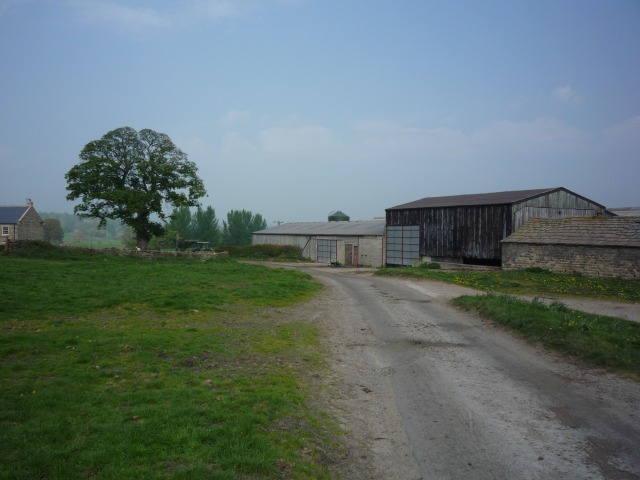
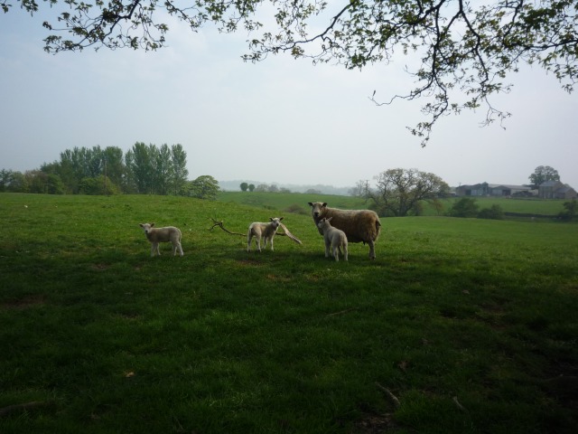
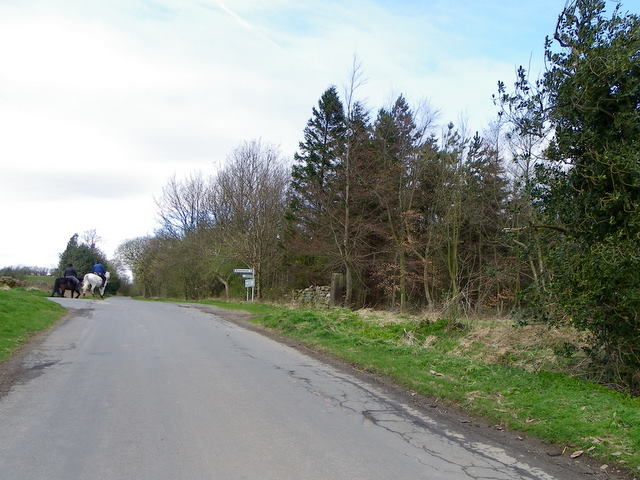
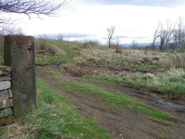
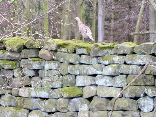
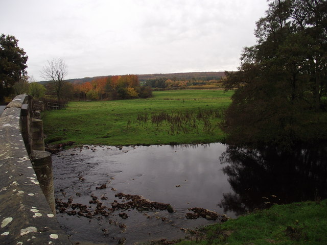
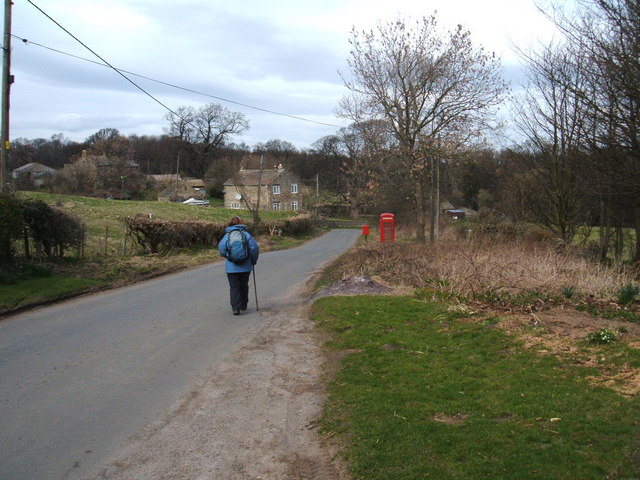
The village is known for its charming rural character and picturesque landscapes. Surrounded by rolling hills and green fields, High Swinton offers a peaceful and idyllic setting for residents and visitors alike. The area is blessed with an abundance of natural beauty, with several walking and cycling routes that allow people to explore the stunning countryside.

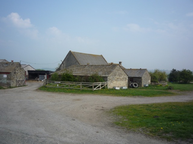
Historically, High Swinton was a mining village, with coal mining being a significant industry in the area during the 19th and early 20th centuries. However, the closure of the local colliery in the 1980s led to a decline in mining activities.

Today, High Swinton is primarily a residential village with a small population. It has a close-knit community, and the village is home to a few local amenities, including a village hall and a primary school.

Despite its small size, High Swinton benefits from its proximity to larger towns and cities. The village enjoys excellent transport links, with easy access to the nearby M1 motorway and regular bus services connecting it to Rotherham and Sheffield.

In summary, High Swinton is a charming village in Yorkshire, offering a tranquil rural lifestyle and stunning natural surroundings.

If you have any feedback on the listing, please let us know in the comments section below.
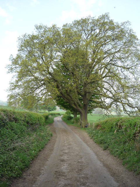
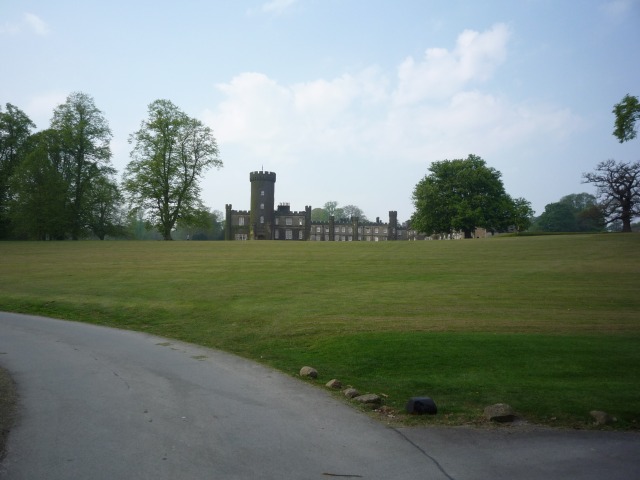
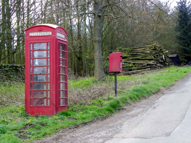
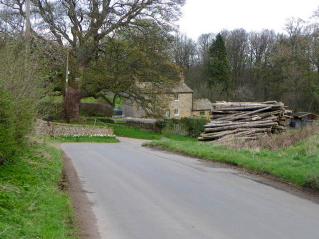
High Swinton Images

Images are sourced within 2km of 54.213649/-1.6750414 or Grid Reference SE2179. Thanks to Geograph Open Source API. All images are credited.

Road to Roomer The road to Masham and the road to Roomer & Swinton diverege here.
Road to Roomer
The road to Masham and the road to Roomer & Swinton diverege here.
Farm at Roomer On the road between Grewelthorpe and Swinton.
Farm at Roomer
On the road between Grewelthorpe and Swinton.
Roomer A farm stands between Grewelthorpe and Swinton.
Roomer
A farm stands between Grewelthorpe and Swinton.
Lambs off Roomer Lane A ewe and three lambs between Grewelthorpe and Swinton.
Lambs off Roomer Lane
A ewe and three lambs between Grewelthorpe and Swinton.
Roomer Lane Looking along Roomer Lane, between Grewelthorpe and Swinton.
Roomer Lane
Looking along Roomer Lane, between Grewelthorpe and Swinton.
Swinton Park Now converted to a hotel.
Swinton Park
Now converted to a hotel.
Telephone box, Warthermarske In 1935, the Post Office commissioned a new kiosk from Sir Giles Gilbert Scott to celebrate the Jubilee of King George V.  The K6 Jubilee Kiosk, as it is known, was similar to the K2 box, being made of cast iron and painted red but was 25% lighter in weight.  By the end of the 1930s there were 20,000 K6 telephone boxes in use all over the UK.
Telephone box, Warthermarske
In 1935, the Post Office commissioned a new kiosk from Sir Giles Gilbert Scott to celebrate the Jubilee of King George V. The K6 Jubilee Kiosk, as it is known, was similar to the K2 box, being made of cast iron and painted red but was 25% lighter in weight. By the end of the 1930s there were 20,000 K6 telephone boxes in use all over the UK.
Minor road, Warthermarske The minor road through the hamlet of Warthermarske.
Minor road, Warthermarske
The minor road through the hamlet of Warthermarske.
Road junction near Ilton Straight on for Ilton and left for Cindra How.
Road junction near Ilton
Straight on for Ilton and left for Cindra How.
Post, Warrener Wood On the stone post is an Ordnance Survey bench mark.
Post, Warrener Wood
On the stone post is an Ordnance Survey bench mark.
Bench Mark, Warrener Wood At the base of the stone post is an Ordnance Survey bench mark.  For a view of the post <a href="https://www.geograph.org.uk/photo/2544030">SE2078 : Post, Warrener Wood</a> and for further information on the bench mark and others in the area <span class="nowrap"><a title="http://www.bench-marks.org.uk/bm39028" rel="nofollow ugc noopener" href="http://www.bench-marks.org.uk/bm39028">Link</a><img style="margin-left:2px;" alt="External link" title="External link - shift click to open in new window" src="https://s1.geograph.org.uk/img/external.png" width="10" height="10"/></span>
Bench Mark, Warrener Wood
At the base of the stone post is an Ordnance Survey bench mark. For a view of the post SE2078 : Post, Warrener Wood and for further information on the bench mark and others in the area LinkExternal link
Hen pheasant, Warrener Wood Among the most savoury of game birds, pheasants provide sport by flying strongly and directly over guns. When otherwise disturbed, they tend to run away rather than fly. Rearing and protecting them, organising shoots has become a major rural industry.

Pheasants, first recorded in England in 1059, are now widespread throughout Britain and Ireland. One theory is that they were introduced by the Romans from Asia. The common pheasant derives from the Chinese ring-necked, black-necked and Mongolian breeds, and accordingly varies in plumage. This has produced two forms - those with a white neck-ring and those without. 

Pheasants are ground dwelling birds, vulnerable to foxes, stoats, weasels and other predators. Due to the efforts of gamekeepers, who also supply winter feeding, pheasants survive in larger numbers than would be possible if they were left to fend for themselves.

The pheasant shooting season starts on October 1st, but in practice very few pheasants are shot before the end of October and indeed the size and quality can be poor during that month. The glut of birds tends to start about two weeks into November.
Hen pheasant, Warrener Wood
Among the most savoury of game birds, pheasants provide sport by flying strongly and directly over guns. When otherwise disturbed, they tend to run away rather than fly. Rearing and protecting them, organising shoots has become a major rural industry. Pheasants, first recorded in England in 1059, are now widespread throughout Britain and Ireland. One theory is that they were introduced by the Romans from Asia. The common pheasant derives from the Chinese ring-necked, black-necked and Mongolian breeds, and accordingly varies in plumage. This has produced two forms - those with a white neck-ring and those without. Pheasants are ground dwelling birds, vulnerable to foxes, stoats, weasels and other predators. Due to the efforts of gamekeepers, who also supply winter feeding, pheasants survive in larger numbers than would be possible if they were left to fend for themselves. The pheasant shooting season starts on October 1st, but in practice very few pheasants are shot before the end of October and indeed the size and quality can be poor during that month. The glut of birds tends to start about two weeks into November.
Low Burn Bridge over the River Burn near Masham
The entrance to Swinton Park Hotel
Swinton Park Hotel
Swinton Park Hotel
Houses at Low Swinton
A house near Warthermarske
The telephone / post box at Warthermarske
Show me another place!

High Swinton is located at Grid Ref: SE2179 (Lat: 54.213649, Lng: -1.6750414)

Division: North Riding

Administrative County: North Yorkshire

District: Harrogate

Police Authority: North Yorkshire

What 3 Words

///whizzing.clipboard.hockey. Near Masham, North Yorkshire

Related Wikis

Swinton, Harrogate

Swinton is a small village in the Harrogate district of North Yorkshire, England. It is situated to the immediate south-west of Masham and separated from...
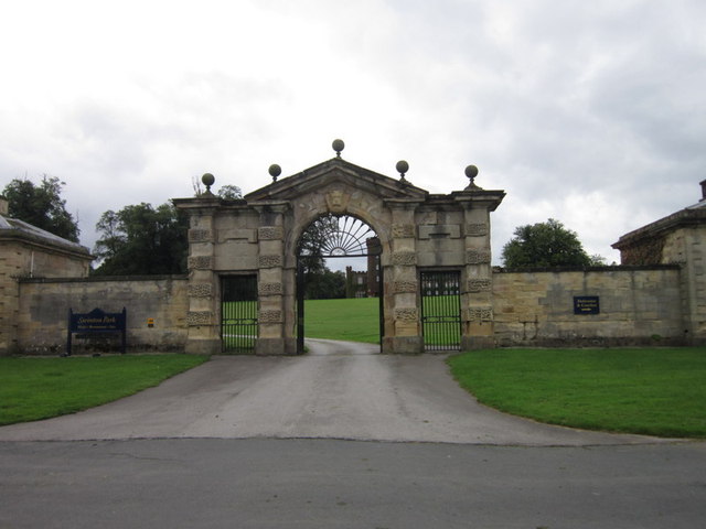
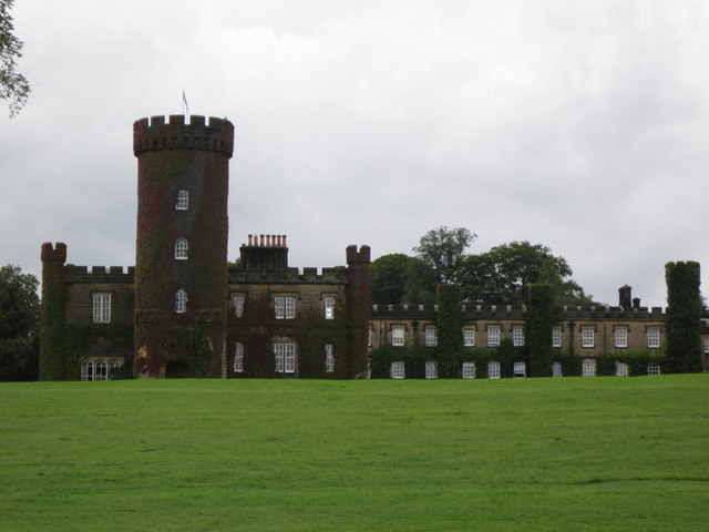
Swinton Estate

The Swinton Estate is a large privately owned estate in North Yorkshire, England. It comprises some 20,000 acres (8,100 ha) of countryside in the Nidderdale...

Warthermarske

Warthermarske is a hamlet in the Harrogate borough of North Yorkshire, England. It is near Swinton, about 1 mile (2 km) south-west of Masham. The village...

Swinton with Warthermarske

Swinton with Warthermarske is a civil parish in Harrogate district, North Yorkshire, England. The parish includes the village of Swinton and the hamlets...

Nearby Amenities

Located within 500m of 54.213649,-1.6750414
Low Swinton
Place: hamlet
Source: NPE
Lat/Long: 54.2106128/-1.6729449
Swinton Park
Tourism: hotel
Wikidata: Q7658788
Wikipedia: en:Swinton Estate
Lat/Long: 54.2128686/-1.6758082
Power: pole
Lat/Long: 54.2141022/-1.6773634
Power: pole
Lat/Long: 54.2149407/-1.6773926
Power: pole
Lat/Long: 54.2157545/-1.6774252
Power: pole
Lat/Long: 54.2164732/-1.6774479
Power: pole
Lat/Long: 54.2172489/-1.6779097
Power: pole
Lat/Long: 54.2174448/-1.6789729
Power: pole
Lat/Long: 54.21611/-1.6765797
Power: pole
Lat/Long: 54.2156746/-1.675666
Power: pole
Lat/Long: 54.2154008/-1.6746157
Power: pole
Lat/Long: 54.2150909/-1.6733996
Power: pole
Lat/Long: 54.2147943/-1.6722225
Power: pole
Lat/Long: 54.2145927/-1.6714323
Power: pole
Lat/Long: 54.2142581/-1.6699301
Power: pole
Lat/Long: 54.21399/-1.6686001
Power: pole
Lat/Long: 54.2140584/-1.6718941
Power: pole
Lat/Long: 54.2135412/-1.6723493
The data included in this document is from www.openstreetmap.org. The data is made available under ODbL.

Have you been to High Swinton?

Leave your review of High Swinton below (or comments, questions and feedback).