Swinton
Settlement in Lancashire
England
Swinton

Swinton is a small town located in the metropolitan borough of Salford, within the county of Lancashire, in northwest England. With a population of around 25,000 residents, it is situated approximately 4 miles northwest of Manchester city center. The town is part of the Greater Manchester urban area and falls under the postal district of Manchester (M27).
Historically, Swinton developed as an industrial town during the 18th and 19th centuries, primarily driven by the coal mining and textile industries. However, like many other towns in the region, it experienced a decline in these industries during the 20th century, leading to a shift towards a more diverse economy.
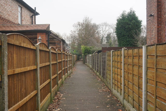
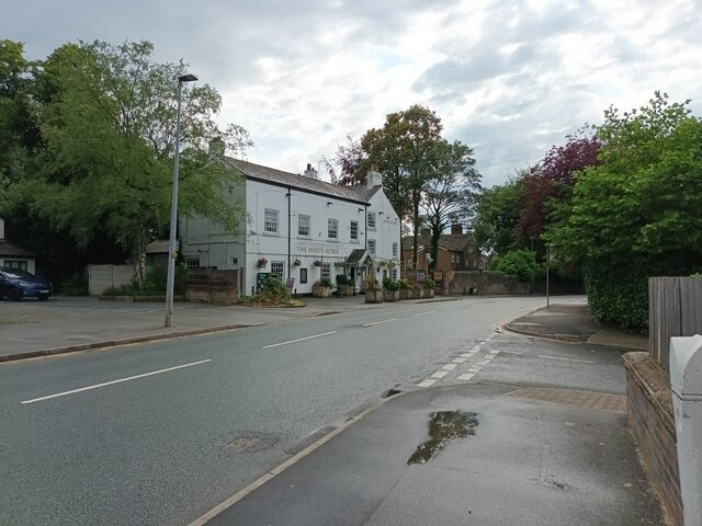
Today, Swinton is mainly a residential area, characterized by a mix of both traditional terraced houses and modern housing developments. The town center offers a range of amenities, including shops, supermarkets, and local businesses, catering to the needs of its residents.
Swinton is well-connected to the surrounding areas by road and rail, with the M602 motorway providing easy access to Manchester and other nearby towns. The town also benefits from a train station, Swinton railway station, which offers regular services to Manchester Victoria and other destinations.
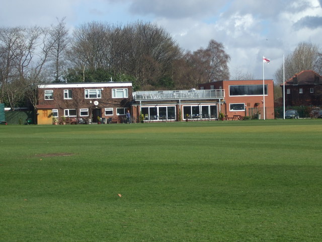
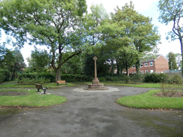
Additionally, Swinton boasts several green spaces, such as Victoria Park, which provides recreational opportunities for locals. The town is also home to a number of primary and secondary schools, contributing to its appeal as a family-friendly area.
If you have any feedback on the listing, please let us know in the comments section below.
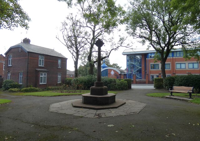
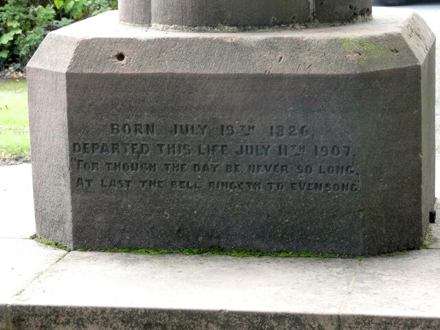
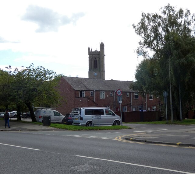
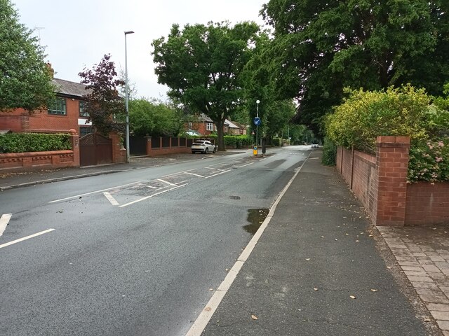
Swinton Images
Images are sourced within 2km of 53.510321/-2.340303 or Grid Reference SD7701. Thanks to Geograph Open Source API. All images are credited.


Swinton is located at Grid Ref: SD7701 (Lat: 53.510321, Lng: -2.340303)
Unitary Authority: Salford
Police Authority: Greater Manchester
What 3 Words
///transmitted.agent.each. Near Swinton, Manchester
Related Wikis

Salford and Eccles (UK Parliament constituency)
Salford and Eccles is a constituency represented in the House of Commons of the UK Parliament since 2015 by Rebecca Long-Bailey, a member of the Labour...
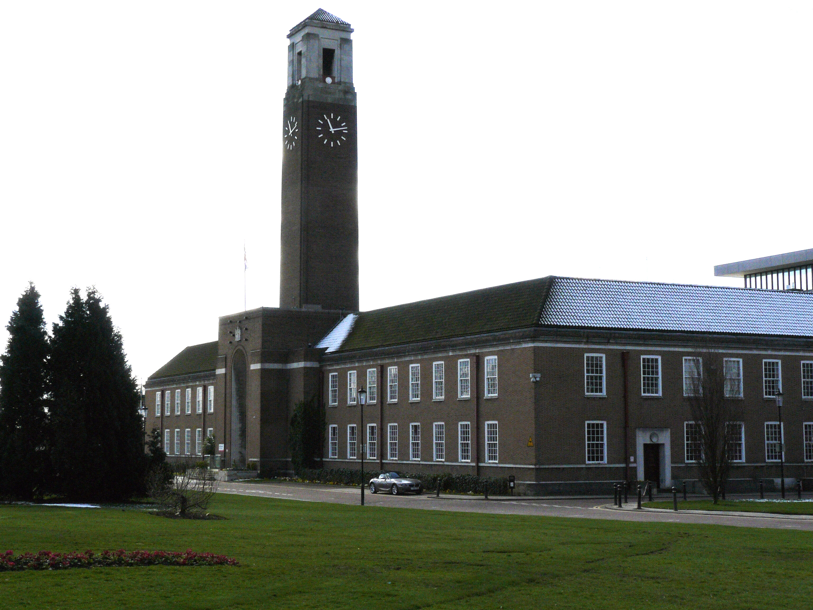
Salford Civic Centre
Salford Civic Centre, formerly Swinton and Pendlebury Town Hall, is a municipal building at Chorley Road, in Swinton, Greater Manchester, England. It is...

Swinton, Greater Manchester
Swinton is a town in the City of Salford in Greater Manchester, England. southwest of the River Irwell, 4 miles (6.4 km) northwest of Manchester, adjoining...
Swinton Square
Swinton Square, formerly known as Swinton Shopping Centre, is a shopping centre located between Chorley Road (A6) and Swinton Hall Road in Swinton, near...
Nearby Amenities
Located within 500m of 53.510321,-2.340303Have you been to Swinton?
Leave your review of Swinton below (or comments, questions and feedback).