Sweets
Settlement in Cornwall
England
Sweets
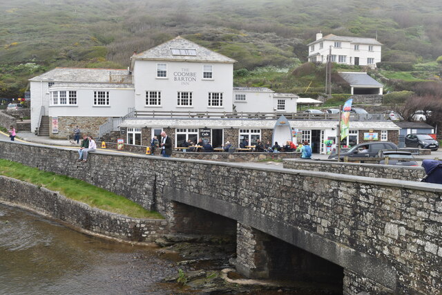
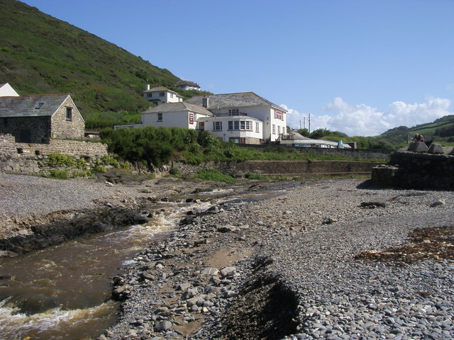
Sweets is a charming coastal village located in Cornwall, England. Situated on the southwest tip of the country, it boasts breathtaking views of the Atlantic Ocean and is renowned for its picturesque landscapes.
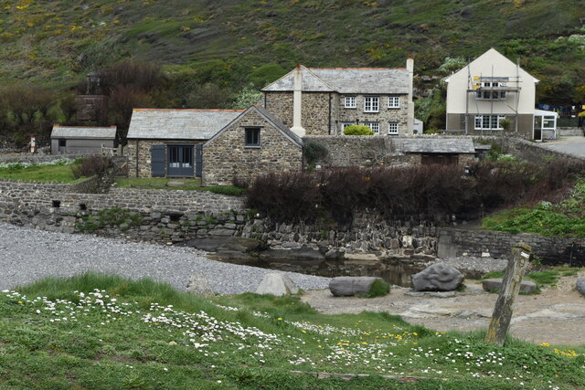
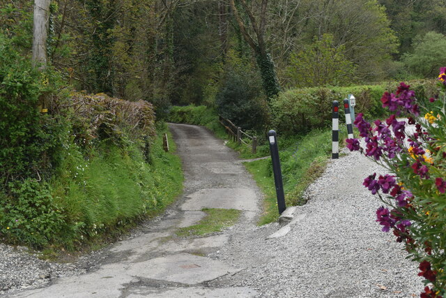
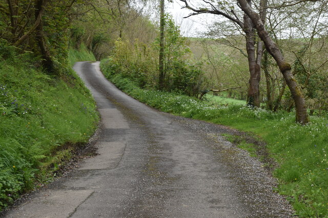
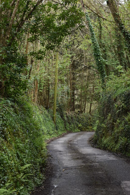
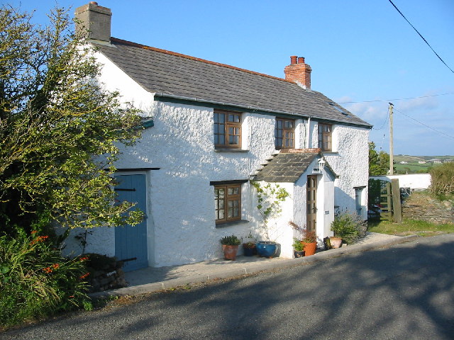
The village is characterized by its quaint cottages with thatched roofs and vibrant gardens, giving it a delightful and idyllic atmosphere. Its narrow winding streets are lined with local shops, cafes, and art galleries, offering visitors a wide range of unique and handmade crafts to explore.
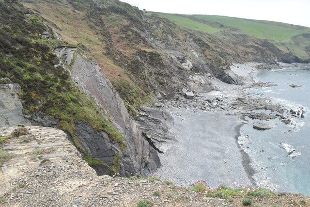
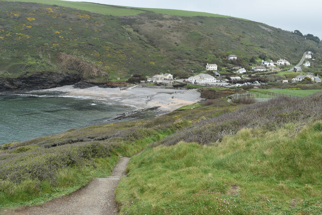
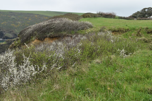
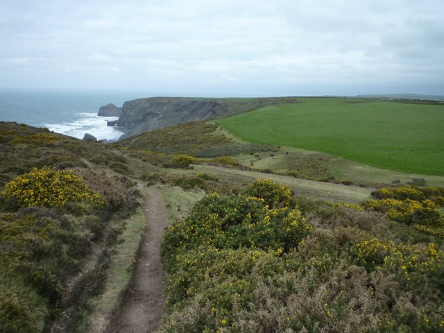
Sweets is also known for its stunning beaches, attracting both locals and tourists alike. The golden sands and crystal-clear waters of the coastline provide the perfect setting for various water activities such as swimming, surfing, and sailing. The village even hosts an annual surfing competition, drawing in surf enthusiasts from around the world.
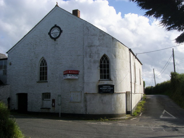
History enthusiasts will find delight in Sweets as well, as it is home to several historical sites and landmarks. The nearby Sweets Castle, a medieval fortress dating back to the 12th century, stands as a testament to the village's rich heritage. The local museum showcases artifacts and exhibits that provide insight into the area's fascinating past.
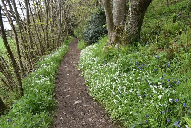
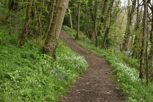
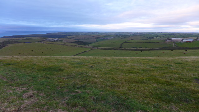
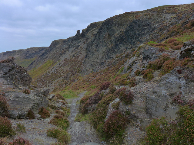
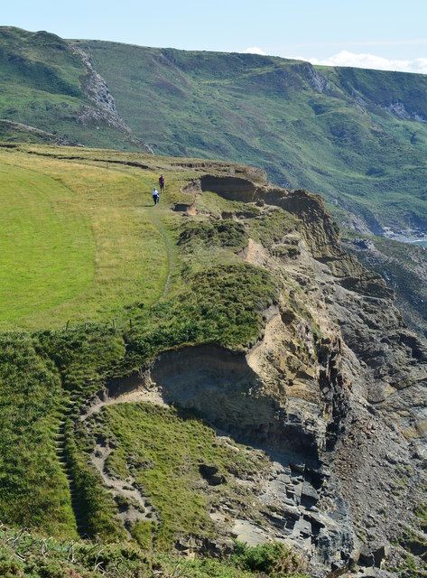
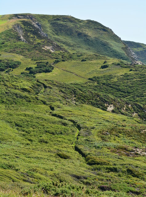
For nature lovers, Sweets is a gateway to exploring the natural beauty of Cornwall. The village serves as a starting point for hiking trails that wind through stunning cliffs, rugged moorland, and lush countryside. The South West Coast Path, one of the longest and most scenic hiking trails in the UK, passes through Sweets, offering breathtaking views of the coastline.
Overall, Sweets, Cornwall, is a captivating destination that offers a perfect blend of natural beauty, cultural heritage, and outdoor activities, making it a must-visit location for travelers seeking a quintessential English coastal experience.
If you have any feedback on the listing, please let us know in the comments section below.
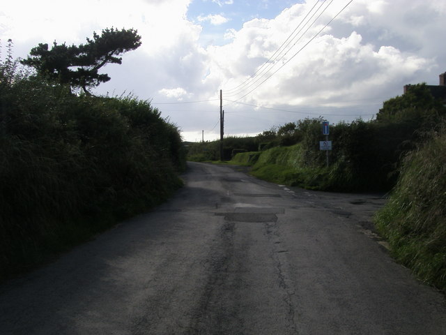
Sweets Images
Images are sourced within 2km of 50.725094/-4.6224808 or Grid Reference SX1595. Thanks to Geograph Open Source API. All images are credited.
Sweets is located at Grid Ref: SX1595 (Lat: 50.725094, Lng: -4.6224808)
Unitary Authority: Cornwall
Police Authority: Devon and Cornwall
What 3 Words
///unscrew.darkest.lotteries. Near Jacobstow, Cornwall
Nearby Locations
Related Wikis
Sweets, Cornwall
Sweets is a hamlet between Middle Crackington and Higher Crackington in north Cornwall, England, United Kingdom. == References ==

Mineshope
Mineshope is a hamlet in the parish of St Gennys, Cornwall, England. == References ==

Pengold
Pengold is a hamlet near St Gennys in Cornwall, England, UK. Pengold is southwest of Higher Crackington. == References ==

Pencuke
Pencuke is a hamlet near Higher Crackington in northeast Cornwall, England, UK. == References ==
Nearby Amenities
Located within 500m of 50.725094,-4.6224808Have you been to Sweets?
Leave your review of Sweets below (or comments, questions and feedback).