Sweetholme

Settlement in Westmorland Eden

England

Sweetholme

Drystone walls
Drystone walls Credit: N Chadwick

Sweetholme is a small village located in the county of Westmorland, in the northwest region of England. Situated in the picturesque Lake District National Park, Sweetholme is surrounded by stunning natural beauty and is a popular destination for outdoor enthusiasts and nature lovers.

The village is characterized by its quaint and peaceful atmosphere, with picturesque stone cottages and well-manicured gardens adding to its charm. Sweetholme is home to a close-knit community, with friendly locals who take pride in their village and its heritage.

One of the main attractions in Sweetholme is its proximity to the stunning Lake Windermere, which is just a short drive away. This vast lake offers a wide range of activities, including boating, kayaking, fishing, and lakeside walks. Sweetholme is also close to several other scenic lakes, such as Ullswater and Derwentwater, providing visitors with ample opportunities to explore the tranquil waters and surrounding landscapes.

For those who enjoy hiking and walking, Sweetholme offers easy access to some of the most breathtaking trails in the Lake District. The nearby fells and mountains, including Helvellyn and Scafell Pike, provide challenging routes for experienced hikers, as well as more leisurely walks for beginners or families.

In terms of amenities, Sweetholme has a small convenience store and a cozy village pub, where visitors can enjoy a pint of local ale and traditional British cuisine. Overall, Sweetholme is a hidden gem in the heart of the Lake District, offering a peaceful retreat for those seeking a tranquil and idyllic countryside experience.

If you have any feedback on the listing, please let us know in the comments section below.
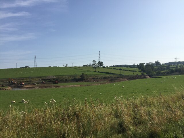
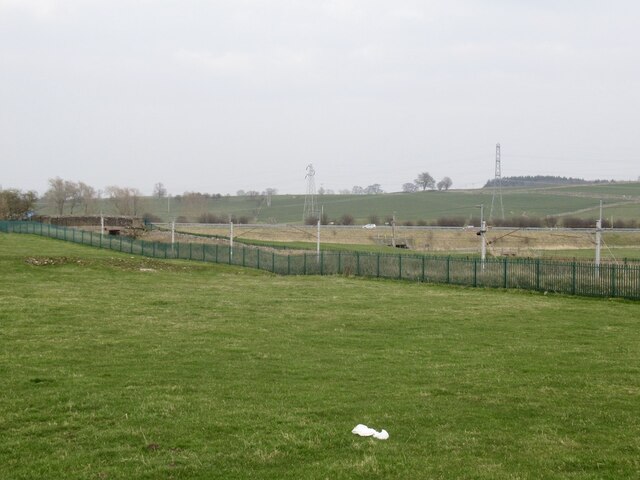
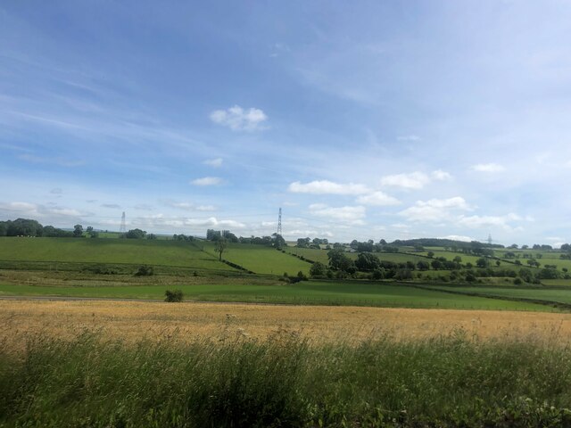
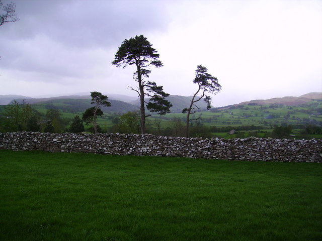
Sweetholme Images

Images are sourced within 2km of 54.555229/-2.6972938 or Grid Reference NY5518. Thanks to Geograph Open Source API. All images are credited.

Drystone walls
Drystone walls
Cattle grazing
Cattle grazing
Sheep grazing
Sheep grazing
Grazing pasture near Little Strickland Earth moving equipment working on the bank of the River Leith
Grazing pasture near Little Strickland
Earth moving equipment working on the bank of the River Leith
Railway bridge on Edge Brow The railway carries the West Coast main line, connecting London and Glasgow with branches to Birmingham, Liverpool, Manchester and Edinburgh.
Railway bridge on Edge Brow
The railway carries the West Coast main line, connecting London and Glasgow with branches to Birmingham, Liverpool, Manchester and Edinburgh.
West Coast Main Line, Shap
Limestone pasture, Shap Above the West Coast Mainline. There is the older style of railway fence here contrasting with the urban security fence north of the road.
Limestone pasture, Shap
Above the West Coast Mainline. There is the older style of railway fence here contrasting with the urban security fence north of the road.
Farm buildings Between the A6 and M6, north of Shap
Farm buildings
Between the A6 and M6, north of Shap
Field of wheat near the M6
On the roof of England The split section of the M6 near Shap.
On the roof of England
The split section of the M6 near Shap.
Shap Quarry Entrance. The road is so wet as they spray water on to clean the truck tyres before they leave the quarry.
Shap Quarry Entrance.
The road is so wet as they spray water on to clean the truck tyres before they leave the quarry.
A Shap Granite Limekiln. Once used to kibble limestone to apply to the ground as a fertiliser.
A Shap Granite Limekiln.
Once used to kibble limestone to apply to the ground as a fertiliser.
Rosgill Head. A working farm.
Rosgill Head.
A working farm.
Mary's Pillar.
Mary's Pillar.
A6 Underpass at Shap A couple of miles north of Shap village, this underpass takes the A6 trunk road under the M6 motorway.
A6 Underpass at Shap
A couple of miles north of Shap village, this underpass takes the A6 trunk road under the M6 motorway.
Pines and Wall Near Bampton Grange looking towards Mardale
Pines and Wall
Near Bampton Grange looking towards Mardale
Looking towards Mardale From the road to Bampton from Shap
Looking towards Mardale
From the road to Bampton from Shap
M6 On the road bridge south of Little Stricklands, looking south towards where the two carriageways rejoin after being split for 3kms
M6
On the road bridge south of Little Stricklands, looking south towards where the two carriageways rejoin after being split for 3kms
Show me another place!

Sweetholme is located at Grid Ref: NY5518 (Lat: 54.555229, Lng: -2.6972938)

Administrative County: Cumbria

District: Eden

Police Authority: Cumbria

What 3 Words

///factoring.fonts.breached. Near Shap, Cumbria

Related Wikis

Little Strickland

Little Strickland is a small village and civil parish in the Eden district of Cumbria, England. It is about 7 miles (11 km) from Penrith and 8 miles...

Thrimby

Thrimby is a hamlet and former civil parish, now in the parish of Little Strickland, in the Eden district of Cumbria, England. In 2001 the population of...

Knipescar Common

Knipescar Common, or Knipe Scar, is an upland area in the east of the English Lake District, above the River Lowther, near Bampton, Cumbria. It is the...

Shap Abbey

Shap Abbey was a religious house of the Premonstratensian order of Canons regular situated on the western bank of the River Lowther in the civil parish...

Nearby Amenities

Located within 500m of 54.555229,-2.6972938
Railway: buffer_stop
Lat/Long: 54.554128/-2.6903833
Railway: buffer_stop
Lat/Long: 54.5533252/-2.6903072
Power: pole
Lat/Long: 54.5539969/-2.695781
Power: pole
Lat/Long: 54.5534711/-2.6975727
Power: pole
Lat/Long: 54.5528753/-2.6987556
Power: pole
Lat/Long: 54.5521473/-2.7001691
Power: pole
Lat/Long: 54.5517367/-2.7009791
The data included in this document is from www.openstreetmap.org. The data is made available under ODbL.

Have you been to Sweetholme?

Leave your review of Sweetholme below (or comments, questions and feedback).