Higher Crackington

Settlement in Cornwall

England

Higher Crackington

The Coombe Barton Inn, Crackington Haven
The Coombe Barton Inn, Crackington Haven Credit: David Martin

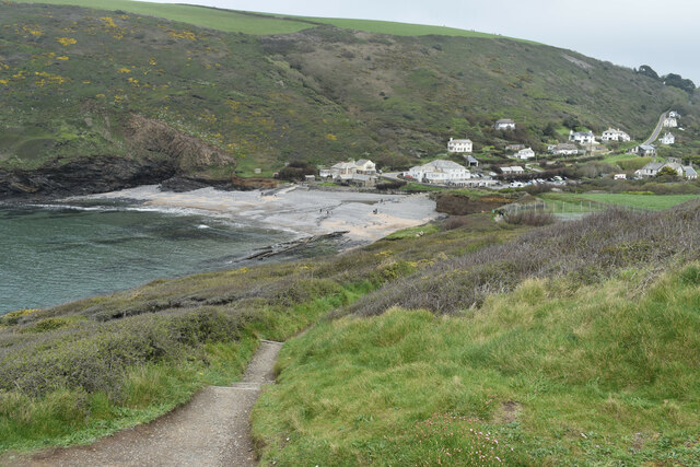
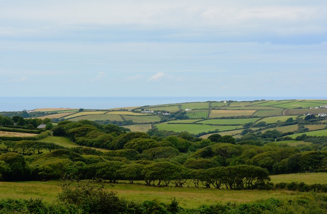
Higher Crackington is a small and picturesque hamlet located in the county of Cornwall, England. Situated in the north coast of the county, it is part of the civil parish of St Gennys. The hamlet is nestled amidst rolling green fields and boasts stunning views of the rugged coastline and the Atlantic Ocean.

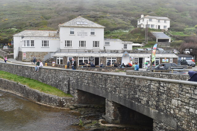
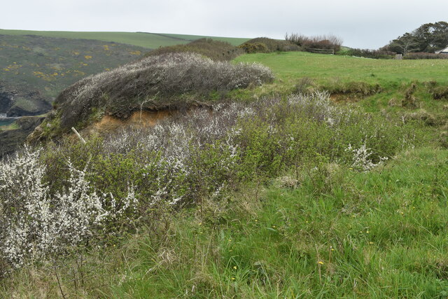
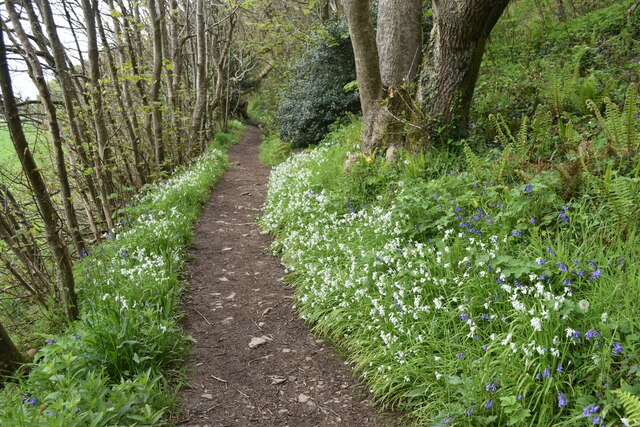
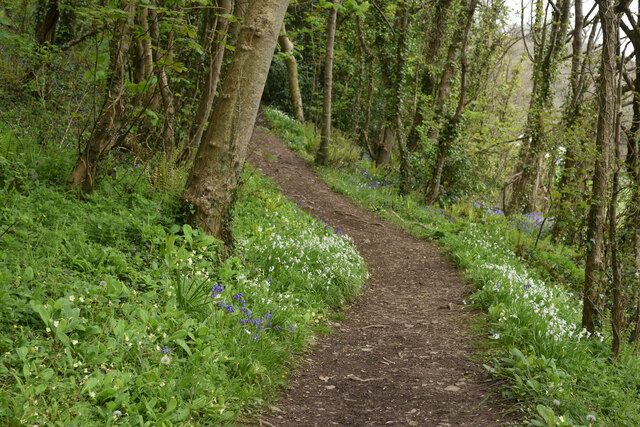
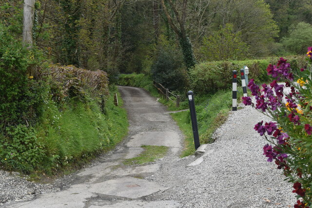
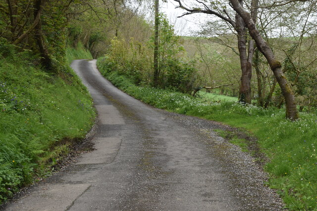
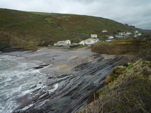
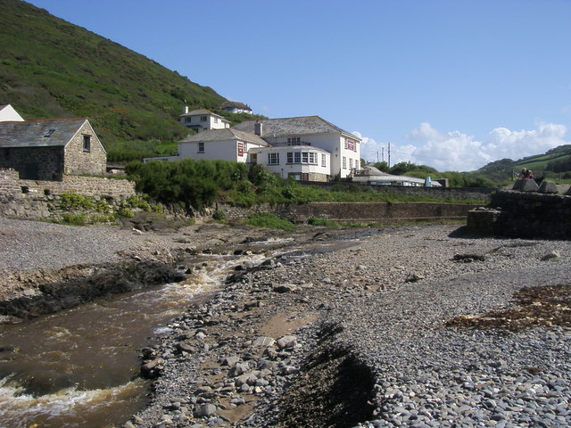
Despite its small size, Higher Crackington offers a tranquil and idyllic environment for residents and visitors alike. The area is renowned for its natural beauty, with its pristine beaches, dramatic cliffs, and scenic walks attracting outdoor enthusiasts and nature lovers from far and wide. The nearby Crackington Haven beach, with its golden sands and clear waters, is a popular spot for swimming, surfing, and sunbathing during the summer months.

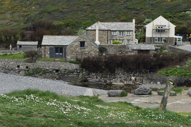
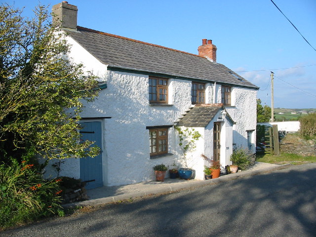
The hamlet itself consists mainly of charming stone cottages, many of which date back several centuries, adding to the area's rustic charm. The local community is close-knit and friendly, providing a warm welcome to visitors. There are limited amenities in Higher Crackington, but the nearby village of Crackington Haven offers a range of facilities including a pub, café, and small convenience store.

For those seeking a peaceful retreat away from the hustle and bustle of city life, Higher Crackington is a perfect destination. With its unspoiled natural beauty, breathtaking views, and a sense of tranquility, it offers a true escape to the countryside. Whether exploring the coastline, enjoying long walks along the cliffs, or simply taking in the stunning scenery, Higher Crackington is a hidden gem in the heart of Cornwall.

If you have any feedback on the listing, please let us know in the comments section below.

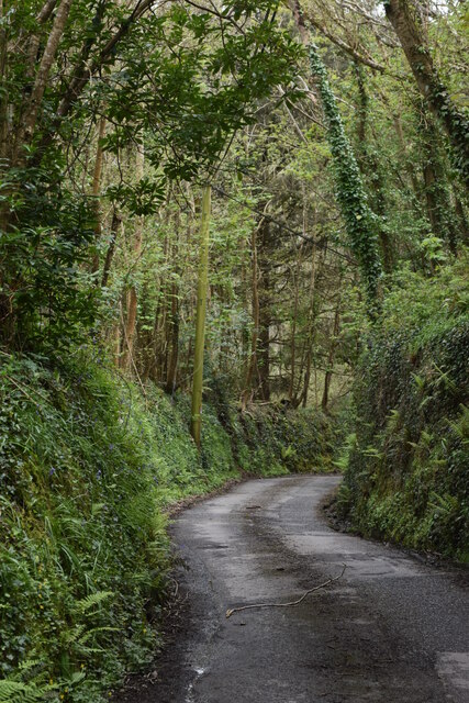
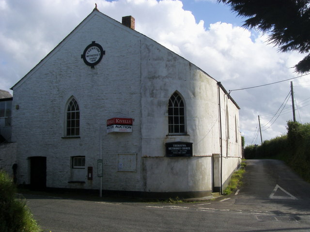
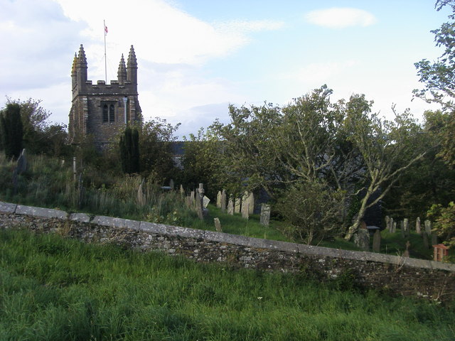
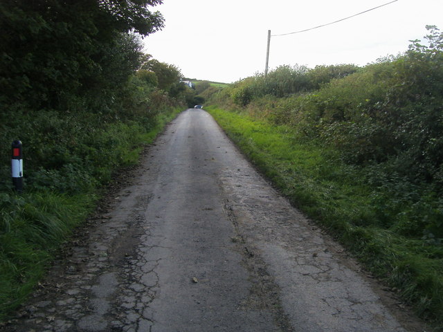
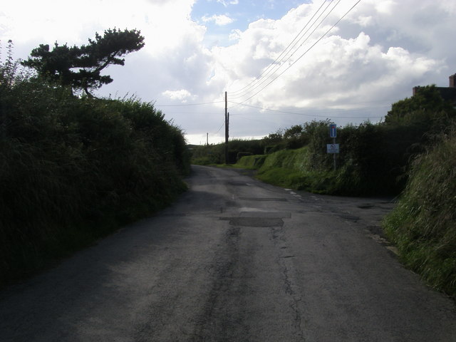
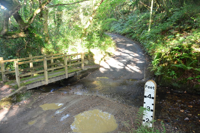
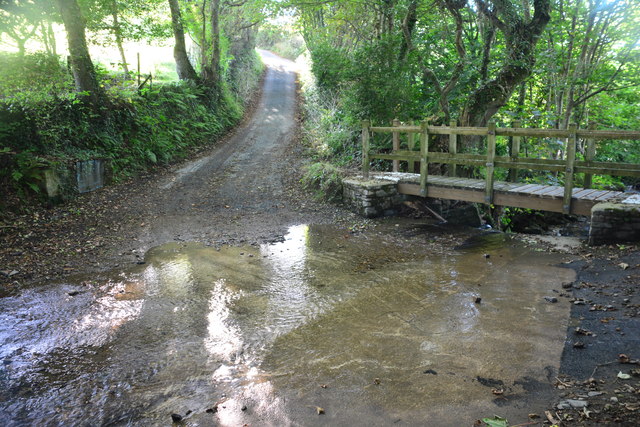
Higher Crackington Images

Images are sourced within 2km of 50.729045/-4.614571 or Grid Reference SX1595. Thanks to Geograph Open Source API. All images are credited.

The Coombe Barton Inn, Crackington Haven
Houses overlooking the river mouth, Crackington Haven
Crackington Haven
Crackington Haven
Clifftop field southwest of Crackington Haven The coast path passes through this field around a sizeable landslip which has left fenceposts dangling in mid-air.
Clifftop field southwest of Crackington Haven
The coast path passes through this field around a sizeable landslip which has left fenceposts dangling in mid-air.
Footpath in valley near Congdons Bridge
Path climbing valley side near Congdons Bridge
Track over the bridge at Mineshop The route ahead leads over the bridge, while the track on the right becomes the footpath towards Crackington Haven.
Track over the bridge at Mineshop
The route ahead leads over the bridge, while the track on the right becomes the footpath towards Crackington Haven.
Lane north from Mineshop
Steep lane descending from Tremayna Farm towards Mineshop
Crackington Haven
Crackington Haven
Tremayna Methodist Church Tremayna Methodist Church - Going to Auction
Tremayna Methodist Church
Tremayna Methodist Church - Going to Auction
St Genesius Church St Genesius Church St Gennys
St Genesius Church
St Genesius Church St Gennys
Road heading to St Genesius Church From White Lodge the road heading to St Genesius Church
Road heading to St Genesius Church
From White Lodge the road heading to St Genesius Church
Road heading to St Gensius church From White house the road heading to St Gensius church
Road heading to St Gensius church
From White house the road heading to St Gensius church
Crackington Stream Crackington Stream coming out on to the beach at Crackington Haven
Crackington Stream
Crackington Stream coming out on to the beach at Crackington Haven
View towards Pencuke and Crackington Haven, B3263, Cornwall
Pencuke Ford This ford is found at Pencuke.
Pencuke Ford
This ford is found at Pencuke.
Middle Crackington Ford This ford is found at Lansweden near Middle Crackington.
Middle Crackington Ford
This ford is found at Lansweden near Middle Crackington.
Show me another place!

Higher Crackington is located at Grid Ref: SX1595 (Lat: 50.729045, Lng: -4.614571)

Unitary Authority: Cornwall

Police Authority: Devon and Cornwall

What 3 Words

///dressy.mows.subtitle. Near Jacobstow, Cornwall

Related Wikis

Sweets, Cornwall

Sweets is a hamlet between Middle Crackington and Higher Crackington in north Cornwall, England, United Kingdom. == References ==

Mineshope

Mineshope is a hamlet in the parish of St Gennys, Cornwall, England. == References ==

Rosecare

Rosecare is a hamlet in the parish of St Gennys, Cornwall, England. Rosecare is east of Higher Crackington. == References ==

Pencuke

Pencuke is a hamlet near Higher Crackington in northeast Cornwall, England, UK. == References ==

Nearby Amenities

Located within 500m of 50.729045,-4.614571
Bus Stop
Junction Haven Road
Bench: no
Bin: no
Lit: yes
Naptan AtcoCode: 0800COA10042
Naptan Bearing: S
Naptan CommonName: Junction Haven Road
Naptan Crossing: Long Arrow Close
Naptan NaptanCode: cordpagd
Naptan Street: Haven Road
Naptan Verified: no
Shelter: no
Source: naptan_import
Tactile Paving: no
Lat/Long: 50.7323403/-4.6180081
Post Office
Brand: Post Office
Brand Wikidata: Q1783168
Source: survey
Lat/Long: 50.7295901/-4.6147879
Middle Crackington
Name Kw: Kragen Gres
Place: village
Lat/Long: 50.7327704/-4.6170911
Higher Crackington
Name Kw: Kragen Wartha
Place: village
Lat/Long: 50.7295058/-4.6142443
Crackington Village General Stores
Opening Hours: Mo-Sa 08:30-18:00; Su 09:00-12:00; PH off
Shop: convenience
Lat/Long: 50.7296538/-4.6147817
Post Box
Brand: Royal Mail
Brand Wikidata: Q638098
Collection Times: Mo-Fr 15:00; Sa 10:00
Operator: Royal Mail
Operator Wikidata: Q638098
Post Box Mounting: pier
Post Box Type: lamp
Ref: EX23 69
Royal Cypher: EIIR
Royal Cypher Wikidata: Q33102113
Lat/Long: 50.7298648/-4.6146409
Post Box
Brand: Royal Mail
Brand Wikidata: Q638098
Collection Times: Mo-Fr 15:00; Sa 07:15
Operator: Royal Mail
Operator Wikidata: Q638098
Post Box Mounting: pier
Post Box Type: lamp
Ref: EX23 180
Royal Cypher: EIIR
Royal Cypher Wikidata: Q33102113
Survey Date: 2022-12-17
Lat/Long: 50.7325241/-4.6181076
Bench
Backrest: yes
Survey Date: 2022-12-17
Lat/Long: 50.7298575/-4.6146242
Waste Basket
Survey Date: 2022-12-17
Waste: dog_excrement
Lat/Long: 50.7323489/-4.6179768
Waste Basket
Survey Date: 2022-12-17
Lat/Long: 50.7300784/-4.6147546
Crossing
Lat/Long: 50.7300615/-4.613839
The data included in this document is from www.openstreetmap.org. The data is made available under ODbL.

Have you been to Higher Crackington?

Leave your review of Higher Crackington below (or comments, questions and feedback).