Higher Cranswort
Settlement in Cornwall
England
Higher Cranswort

Higher Cranswort is a small village located in the county of Cornwall, in southwestern England. It is nestled amidst the picturesque countryside, surrounded by rolling hills and lush green meadows. Situated about 5 miles northeast of the town of Bodmin, Higher Cranswort enjoys a tranquil and idyllic setting, making it a popular destination for those seeking a peaceful retreat.
The village itself is characterized by its quaint and charming atmosphere, with traditional stone cottages lining the narrow streets. The local community is close-knit and welcoming, creating a warm and friendly environment for residents and visitors alike. The village also boasts a small but well-maintained church, which serves as a focal point for religious gatherings and community events.
The surrounding natural beauty of Higher Cranswort offers plenty of opportunities for outdoor activities. The nearby Bodmin Moor, with its rugged landscapes and ancient monuments, provides a haven for hikers, nature enthusiasts, and history buffs. The village is also a short distance away from the stunning North Cornwall coast, where visitors can enjoy breathtaking beaches and coastal walks.
Despite its rural location, Higher Cranswort benefits from good transport links, with the A30 road passing nearby, connecting it to other towns and cities in the region. The village is also within reach of amenities, with shops, supermarkets, and other services available in the nearby towns.
Overall, Higher Cranswort is a charming and peaceful village that offers a perfect escape from the hustle and bustle of modern life. With its stunning natural surroundings and welcoming community, it is a place that truly embodies the beauty and tranquility of rural Cornwall.
If you have any feedback on the listing, please let us know in the comments section below.
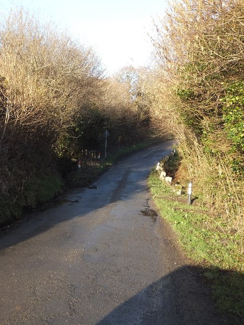
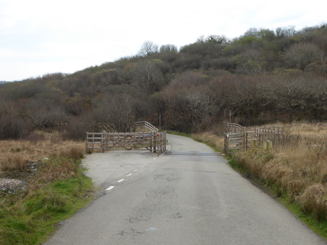
Higher Cranswort Images
Images are sourced within 2km of 50.476233/-4.8764958 or Grid Reference SW9668. Thanks to Geograph Open Source API. All images are credited.


Higher Cranswort is located at Grid Ref: SW9668 (Lat: 50.476233, Lng: -4.8764958)
Unitary Authority: Cornwall
Police Authority: Devon and Cornwall
What 3 Words
///than.florists.immediate. Near Wadebridge, Cornwall
Nearby Locations
Related Wikis

Higher Cransworth
Higher Cransworth is a hamlet in the parish of St Breock, Cornwall, England. It is in the civil parish of St Wenn == References ==

Rosenannon Downs
Rosenannon Downs is a nature reserve in mid Cornwall, England, UK, being designated Rosenannon Bog and Downs Site of Special Scientific Interest (SSSI...
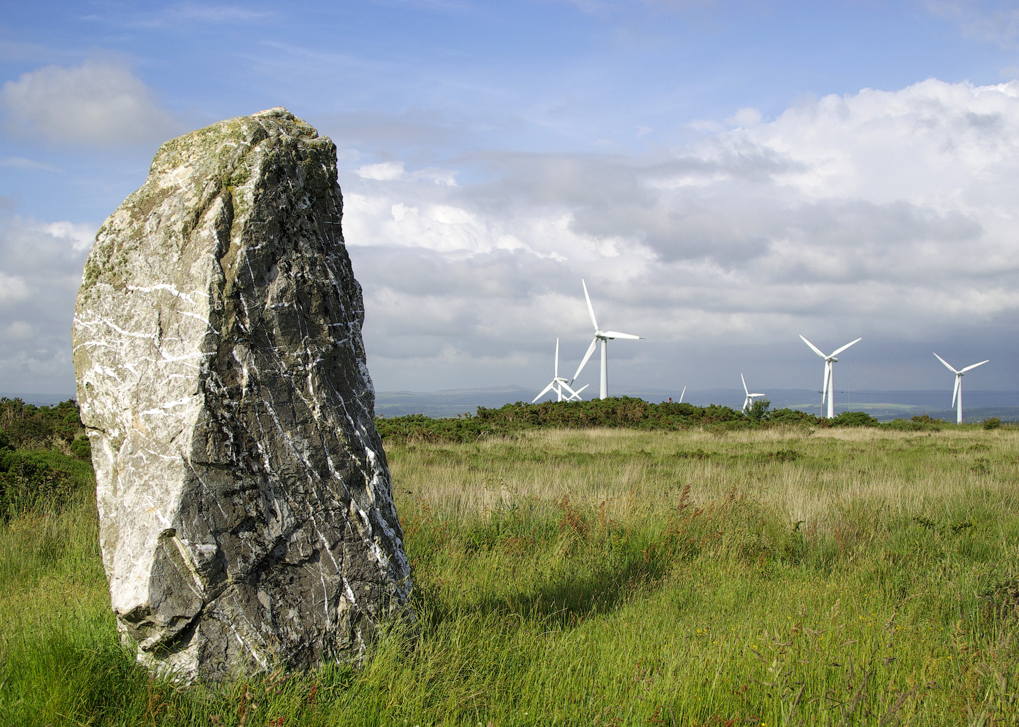
St Breock Downs Monolith
St Breock Downs Monolith (or St Breock Longstone; Cornish: Men Gurta) is the largest and heaviest prehistoric standing stone in Cornwall, England. It stands...
St Jidgey
St Jidgey is a hamlet in mid Cornwall, England, United Kingdom. It lies along the A39 road, north of St Columb Major and southwest of Wadebridge. It contains...
Have you been to Higher Cranswort?
Leave your review of Higher Cranswort below (or comments, questions and feedback).