Abbots Worthy

Settlement in Hampshire Winchester

England

Abbots Worthy

A33 Basingstoke Road Heading away from Winchester, a Roman road.
A33 Basingstoke Road Credit: Robin Webster

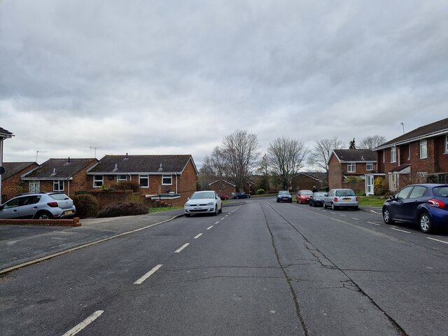
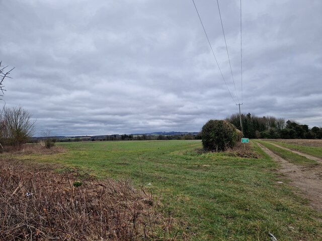
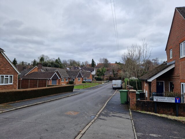
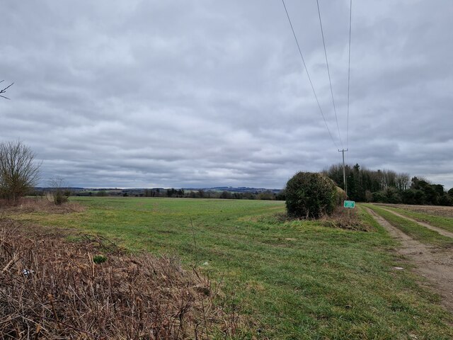
Abbots Worthy is a small village located in the county of Hampshire, England. Situated just three miles northeast of the city of Winchester, it is nestled in the picturesque countryside, surrounded by rolling hills and scenic landscapes.

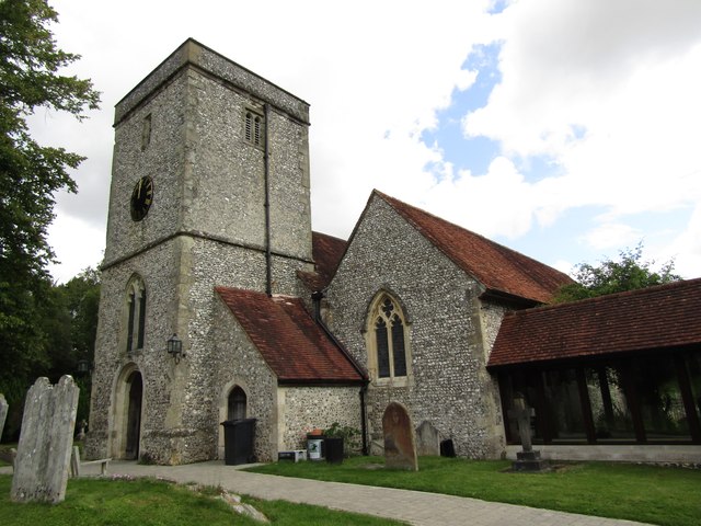
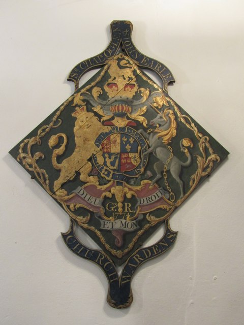
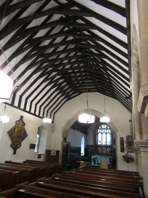
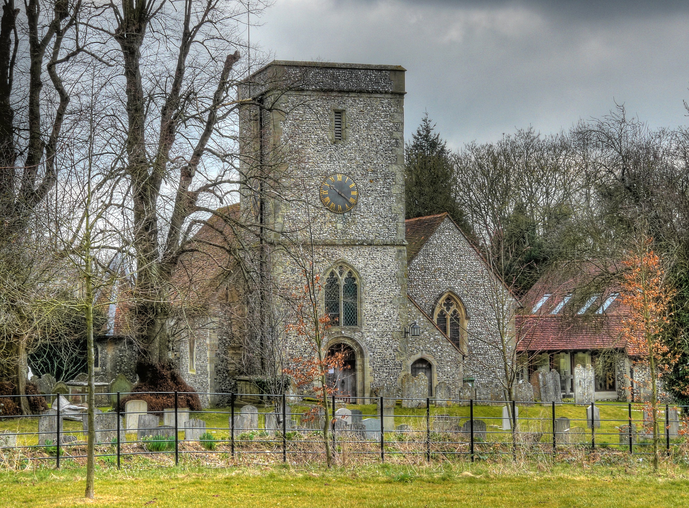
The village is known for its historic charm, with many buildings dating back to the 17th and 18th centuries. The architecture reflects the traditional English style, with thatched roofs, timber frames, and beautiful gardens. The centerpiece of Abbots Worthy is its ancient church, St. Mary's, which dates back to the 12th century and features stunning stained glass windows and a peaceful churchyard.

Despite its small size, Abbots Worthy offers a range of amenities and facilities for its residents. These include a primary school, a village hall, and a local pub, which serves as a gathering place for both locals and visitors alike. The village is well-connected to neighboring areas by road, making it easily accessible for commuters and those who wish to explore the wider region.

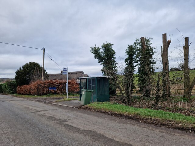
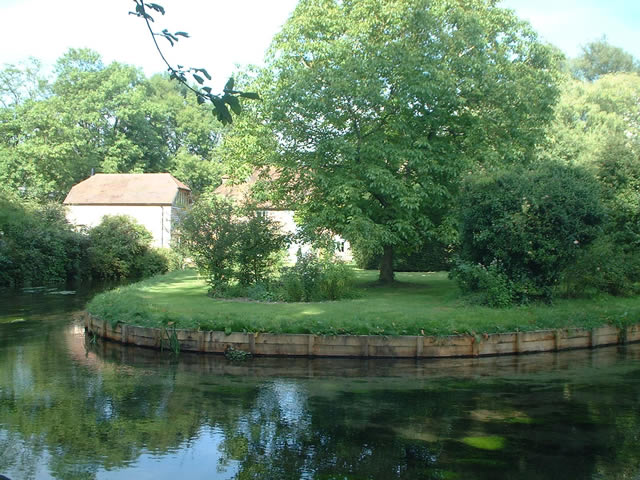
Abbots Worthy is also surrounded by natural beauty, with several walking and cycling trails passing through the village. These provide opportunities to explore the picturesque countryside and enjoy the tranquility of the area. Nearby attractions include the South Downs National Park and the historic city of Winchester, with its famous cathedral and cultural heritage.

Overall, Abbots Worthy offers a peaceful and idyllic setting, perfect for those seeking a rural retreat while still being within easy reach of amenities and attractions.

If you have any feedback on the listing, please let us know in the comments section below.

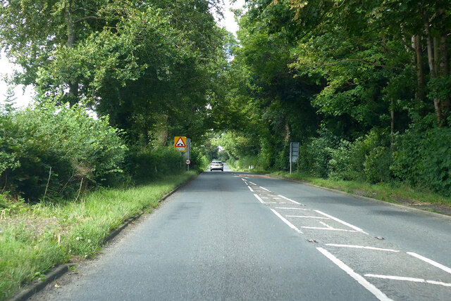
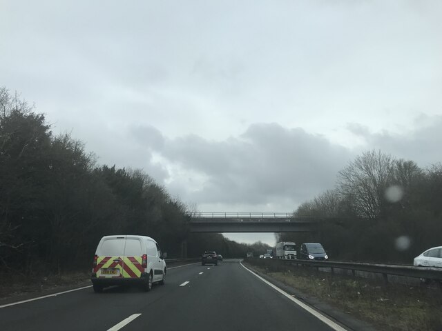
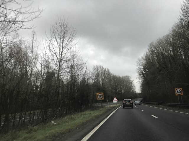
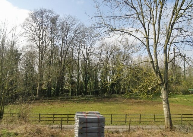
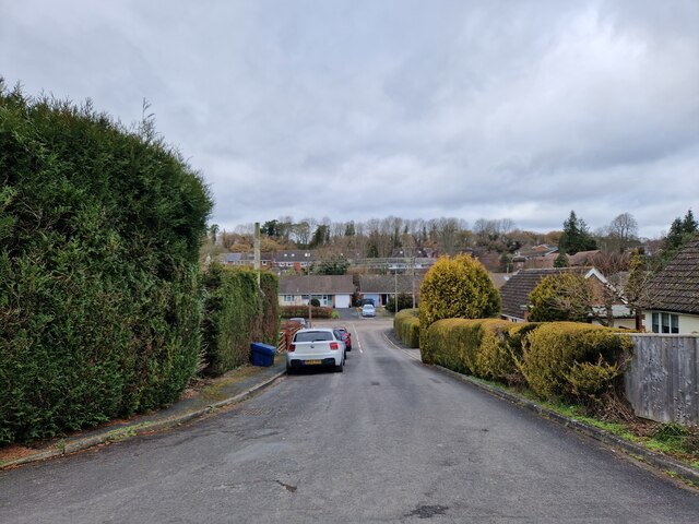
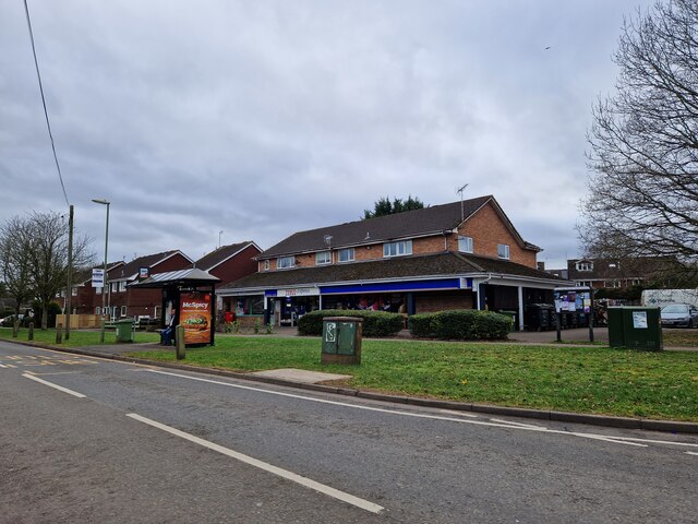
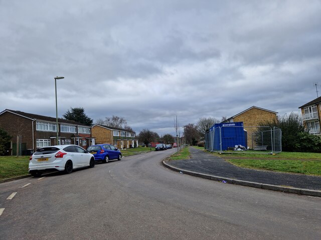
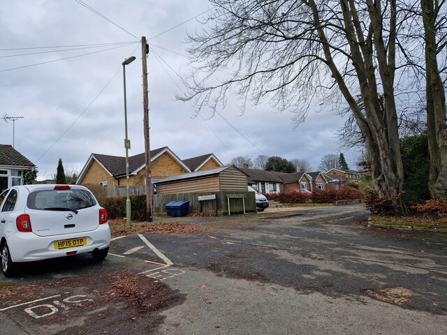
Abbots Worthy Images

Images are sourced within 2km of 51.089616/-1.293175 or Grid Reference SU4932. Thanks to Geograph Open Source API. All images are credited.

A33 Basingstoke Road Heading away from Winchester, a Roman road.
A33 Basingstoke Road
Heading away from Winchester, a Roman road.
Railway bridge- southbound A34
Speed limit change- southbound A34
Grazing near King's Worthy
Roberts Close: mid February 2023
Wandering westwards along the Bashire (41) Bus stop outside Tesco Express, King's Worthy
Wandering westwards along the Bashire (41)
Bus stop outside Tesco Express, King's Worthy
Looking southwards along Fraser Road
Wandering westwards along the Bashire (40) Looking from Mountbatten Place into Sherwood Close
Wandering westwards along the Bashire (40)
Looking from Mountbatten Place into Sherwood Close
Tovey Place: mid February 2023
Bus stop opposite Edinburgh Road
Farmland south-east of the road to Headbourne Worthy
Junction of Glendeep Close with Bentley Close
Field boundary seen from Down Farm Lane
Kings Worthy - Hydraulic Ram Memorial on the village green to a local industry - hydraulic rams were built at a nearby iron works in 1883-1982 and used for raising water. 
<span class="nowrap"><a title="https://www.hampshirechronicle.co.uk/news/18356043.made-hampshire---eco-friendly-hydraulic-ram/" rel="nofollow ugc noopener" href="https://www.hampshirechronicle.co.uk/news/18356043.made-hampshire---eco-friendly-hydraulic-ram/">Link</a><img style="margin-left:2px;" alt="External link" title="External link - shift click to open in new window" src="https://s1.geograph.org.uk/img/external.png" width="10" height="10"/></span>
Kings Worthy - Hydraulic Ram
Memorial on the village green to a local industry - hydraulic rams were built at a nearby iron works in 1883-1982 and used for raising water. LinkExternal link
Kings Worthy - St Mary's Church The oldest parts of the parish church, including the tower, are Norman but today's church is mostly Victorian.
<span class="nowrap"><a title="www.worthychurches.org.uk" rel="nofollow ugc noopener" href="http://www.worthychurches.org.uk">Link</a><img style="margin-left:2px;" alt="External link" title="External link - shift click to open in new window" src="https://s1.geograph.org.uk/img/external.png" width="10" height="10"/></span>
Kings Worthy - St Mary's Church
The oldest parts of the parish church, including the tower, are Norman but today's church is mostly Victorian. LinkExternal link
Kings Worthy - Font The oldest parts of St Mary's Church, including the font base, are Norman but today's church is mostly Victorian.
<span class="nowrap"><a title="www.worthychurches.org.uk" rel="nofollow ugc noopener" href="http://www.worthychurches.org.uk">Link</a><img style="margin-left:2px;" alt="External link" title="External link - shift click to open in new window" src="https://s1.geograph.org.uk/img/external.png" width="10" height="10"/></span>
Kings Worthy - Font
The oldest parts of St Mary's Church, including the font base, are Norman but today's church is mostly Victorian. LinkExternal link
Kings Worthy - Church Wardens Board 1774 The oldest parts of St Mary's Church, including the tower, are Norman. This royal armorial board is Georgian.
<span class="nowrap"><a title="www.worthychurches.org.uk" rel="nofollow ugc noopener" href="http://www.worthychurches.org.uk">Link</a><img style="margin-left:2px;" alt="External link" title="External link - shift click to open in new window" src="https://s1.geograph.org.uk/img/external.png" width="10" height="10"/></span>
Kings Worthy - Church Wardens Board 1774
The oldest parts of St Mary's Church, including the tower, are Norman. This royal armorial board is Georgian. LinkExternal link
Kings Worthy - St Mary's Church The oldest parts of the parish church, including the tower, are Norman but today's church is mostly Victorian.
<span class="nowrap"><a title="www.worthychurches.org.uk" rel="nofollow ugc noopener" href="http://www.worthychurches.org.uk">Link</a><img style="margin-left:2px;" alt="External link" title="External link - shift click to open in new window" src="https://s1.geograph.org.uk/img/external.png" width="10" height="10"/></span>
Kings Worthy - St Mary's Church
The oldest parts of the parish church, including the tower, are Norman but today's church is mostly Victorian. LinkExternal link
Show me another place!

Abbots Worthy is located at Grid Ref: SU4932 (Lat: 51.089616, Lng: -1.293175)

Administrative County: Hampshire

District: Winchester

Police Authority: Hampshire

What 3 Words

///solution.snitch.sway. Near Kings Worthy, Hampshire

Nearby Locations

Abbots Worthy Kings Worthy

Related Wikis

Kings Worthy

Kings Worthy is a village and civil parish in Hampshire, England, approximately two miles north-east of Winchester. Kings Worthy was a tithing of Barton...

The Worthys

The Worthys is a cluster of villages in the City of Winchester district of Hampshire, located north and north-east of the city itself.Abbots Worthy Headbourne...

Abbots Worthy

Abbots Worthy is a small village in the City of Winchester district of Hampshire, England. It is in the civil parish of Kings Worthy. Abbots Worthy lies...
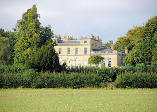
Worthy Park House

Worthy Park House is a large country house at Kings Worthy near Winchester. It is a Grade II* listed building. == History == The original house on the...

Nearby Amenities

Located within 500m of 51.089616,-1.293175
Barrier: kissing_gate
Lat/Long: 51.0887269/-1.2898615
Barrier: kissing_gate
Lat/Long: 51.0871519/-1.2913896
Addr City: Winchester
Addr Country: GB
Addr Postcode: SO23 7QN
Addr Street: London Road
Addr Village: Kingsworthy
Lat/Long: 51.0895657/-1.2959208
Kings Worthy
Is In: Hampshire, England, UK
Place: village
Population: 4435
Lat/Long: 51.0889815/-1.2975132
Bus Stop
Kings Worthy Church
Bus: yes
Naptan AtcoCode: 1900HA110179
Naptan Bearing: NE
Naptan CommonName: Kings Worthy Church
Naptan Crossing: Court Road
Naptan NaptanCode: hamdjgtw
Naptan PlusbusZoneRef: WNCHSTR
Naptan Street: London Road
Naptan Verified: no
Public Transport: platform
Source: naptan_import
Lat/Long: 51.0884054/-1.298982
Bus Stop
Kings Worthy Church
Bus: yes
Naptan AtcoCode: 1900HA110180
Naptan Bearing: SW
Naptan CommonName: Kings Worthy Church
Naptan Crossing: Opp Court Road
Naptan NaptanCode: hamdjgwa
Naptan PlusbusZoneRef: WNCHSTR
Naptan Street: London Road
Naptan Verified: no
Public Transport: platform
Source: naptan_import
Lat/Long: 51.0883199/-1.2988352
Bus Stop
Cart and Horses Ph
Bus: yes
Naptan AtcoCode: 1900HA110182
Naptan Bearing: SW
Naptan CommonName: Cart and Horses Ph
Naptan Crossing: Winchester By-pass
Naptan NaptanCode: hamdjmpg
Naptan PlusbusZoneRef: WNCHSTR
Naptan Street: London Road
Naptan Verified: no
Public Transport: platform
Source: naptan_import
Lat/Long: 51.089564/-1.2960005
Bus Stop
Mill Lane
Bus: yes
Naptan AtcoCode: 1900HAA10016
Naptan Bearing: E
Naptan CommonName: Mill Lane
Naptan Crossing: Park Lane
Naptan NaptanCode: hamjmdta
Naptan PlusbusZoneRef: WNCHSTR
Naptan Street: B3047 London Road
Naptan Verified: no
Public Transport: platform
Source: naptan_import
Lat/Long: 51.0914224/-1.2895465
Bus Stop
Mill Lane
Bus: yes
Naptan AtcoCode: 1900HAA10017
Naptan Bearing: W
Naptan CommonName: Mill Lane
Naptan Crossing: Mill Lane
Naptan NaptanCode: hamjmdtd
Naptan PlusbusZoneRef: WNCHSTR
Naptan Street: B3047 London Road
Naptan Verified: no
Public Transport: platform
Source: naptan_import
Lat/Long: 51.0913325/-1.2895479
Bus Stop
Park Lane
Bus: yes
Naptan AtcoCode: 1900HA110313
Naptan Bearing: NE
Naptan CommonName: Park Lane
Naptan Crossing: Park Lane
Naptan NaptanCode: hamdjpgw
Naptan PlusbusZoneRef: WNCHSTR
Naptan Street: Basingstoke Road
Naptan Verified: no
Public Transport: platform
Source: naptan_import
Lat/Long: 51.0932385/-1.2924461
Bus Stop
Park Lane
Bus: yes
Naptan AtcoCode: 1900HA110314
Naptan Bearing: SW
Naptan CommonName: Park Lane
Naptan Crossing: Park Lane
Naptan NaptanCode: hamdjpjd
Naptan PlusbusZoneRef: WNCHSTR
Naptan Street: Basingstoke Road
Naptan Verified: no
Public Transport: platform
Source: naptan_import
Lat/Long: 51.0931653/-1.2922473
Bus Stop
Cart and Horses Ph
Bus: yes
Naptan AtcoCode: 1900HA110322
Naptan Bearing: E
Naptan BusStopType: CUS
Naptan CommonName: Cart and Horses Ph
Naptan Crossing: Winchester-by-pass
Naptan NaptanCode: hamdjmpw
Naptan PlusbusZoneRef: WNCHSTR
Naptan Street: London Road B3047
Naptan Verified: no
Public Transport: platform
Source: naptan_import
Lat/Long: 51.0900733/-1.2954645
Bus Stop
Abbots Worthy
Bus: yes
Naptan AtcoCode: 1900HA110325
Naptan Bearing: W
Naptan CommonName: Abbots Worthy
Naptan Crossing: Park Lane
Naptan NaptanCode: hamdjpmt
Naptan PlusbusZoneRef: WNCHSTR
Naptan Street: B3047
Naptan Verified: no
Public Transport: platform
Source: naptan_import
Lat/Long: 51.091235/-1.2912629
Bus Stop
Abbots Worthy
Bus: yes
Naptan AtcoCode: 1900HA110326
Naptan Bearing: E
Naptan CommonName: Abbots Worthy
Naptan Crossing: Park Lane
Naptan NaptanCode: hamdjpmp
Naptan PlusbusZoneRef: WNCHSTR
Naptan Street: B3047
Naptan Verified: no
Public Transport: platform
Source: naptan_import
Lat/Long: 51.091298/-1.2912762
Natural: wetland
Wetland: marsh
Lat/Long: 51.0877682/-1.293747
Crossing
Crossing: uncontrolled
Kerb: lowered
Lat/Long: 51.0878965/-1.2994091
Crossing
Crossing Island: yes
Kerb: lowered
Lat/Long: 51.0888613/-1.2953245
Crossing
Crossing Island: yes
Kerb: lowered
Lat/Long: 51.0887187/-1.2974775
Crossing
Crossing: unmarked
Crossing Markings: no
Kerb: raised
Lat/Long: 51.090611/-1.2944731
Abbots Worthy
Place: hamlet
Wikidata: Q4664275
Lat/Long: 51.0915037/-1.2907588
Barrier: kissing_gate
Foot: yes
Vehicle: no
Lat/Long: 51.0898072/-1.2899279
Barrier: stile
Lat/Long: 51.0861842/-1.2897336
Crossing
Crossing Island: yes
Kerb: lowered
Lat/Long: 51.0884122/-1.2987536
Crossing
Crossing: unmarked
Crossing Markings: no
Kerb: lowered
Lat/Long: 51.0890451/-1.2967602
Crossing
Crossing: unmarked
Crossing Markings: no
Kerb: lowered
Lat/Long: 51.088348/-1.2992182
Crossing
Crossing: unmarked
Crossing Markings: no
Kerb: lowered
Lat/Long: 51.0885643/-1.2981556
Crossing
Crossing: unmarked
Crossing Markings: no
Kerb: lowered
Lat/Long: 51.0887682/-1.2979975
Barrier: kerb
Kerb: raised
Lat/Long: 51.0905709/-1.2944885
Post Box
Post Box Type: wall
Ref: SO21 11D
Royal Cypher: EIIR
Royal Cypher Wikidata: Q33102113
Lat/Long: 51.0912314/-1.2909972
Crossing
Crossing: unmarked
Crossing Markings: no
Kerb: lowered
Source: Bing
Lat/Long: 51.0880636/-1.2995507
Crossing
Crossing Island: yes
Kerb: lowered
Lat/Long: 51.0899147/-1.2950662
Crossing
Crossing Island: yes
Kerb: lowered
Lat/Long: 51.0899018/-1.2949158
Crossing
Crossing Island: yes
Kerb: lowered
Lat/Long: 51.0888262/-1.2952126
Crossing
Crossing: unmarked
Crossing Markings: no
Kerb: lowered
Lat/Long: 51.0898224/-1.2958488
Crossing
Crossing Island: yes
Kerb: lowered
Lat/Long: 51.0931906/-1.2923913
Barrier: bollard
Lat/Long: 51.0860956/-1.2899352
Post Box
Post Box Type: pillar
Ref: SO23 86
Royal Cypher: EIIR
Royal Cypher Wikidata: Q33102113
Lat/Long: 51.0896221/-1.295925
Turning Circle
Lat/Long: 51.0924546/-1.2921043
Crossing
Lat/Long: 51.0904699/-1.3000798
Crossing
Crossing: uncontrolled
Kerb: lowered
Lat/Long: 51.087948/-1.2993854
Bench
Lat/Long: 51.0877197/-1.2980955
Bench
Lat/Long: 51.0881844/-1.2989155
Direction: SE
Generator Method: photovoltaic
Generator Output Electricity: yes
Generator Solar Modules: 6
Generator Source: solar
Generator Type: solar_photovoltaic_panel
Location: roof
Power: generator
Lat/Long: 51.0940019/-1.2946637
Direction: SE
Generator Method: photovoltaic
Generator Output Electricity: yes
Generator Solar Modules: 3
Generator Source: solar
Generator Type: solar_photovoltaic_panel
Location: roof
Power: generator
Lat/Long: 51.0939741/-1.2947039
Bench
Lat/Long: 51.0894085/-1.289782
The data included in this document is from www.openstreetmap.org. The data is made available under ODbL.

Have you been to Abbots Worthy?

Leave your review of Abbots Worthy below (or comments, questions and feedback).