Abbot's Salford

Settlement in Warwickshire Stratford-on-Avon

England

Abbot's Salford

Footpath to Dunnington Footpath from Salford Priors to Marsh Farm and Dunnington.
Footpath to Dunnington Credit: Philip Halling

Abbot's Salford is a small village located in the county of Warwickshire, England. Situated about 5 miles southwest of the town of Evesham, it is nestled in the picturesque Vale of Evesham. The village is part of the larger parish of Salford Priors.

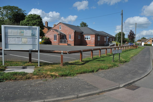
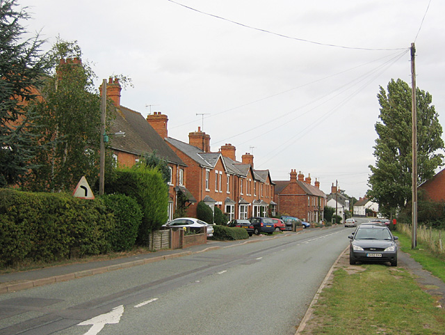
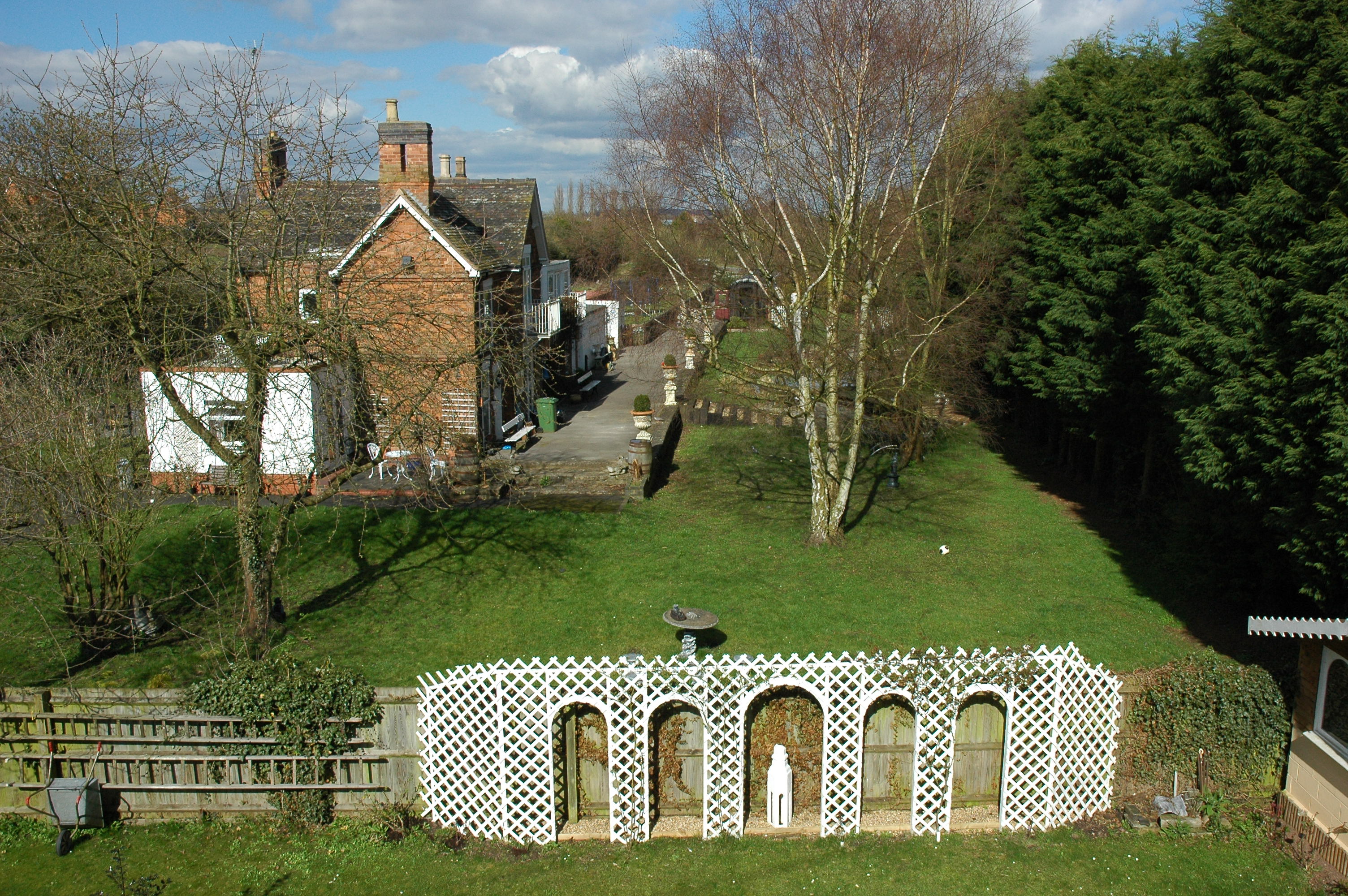
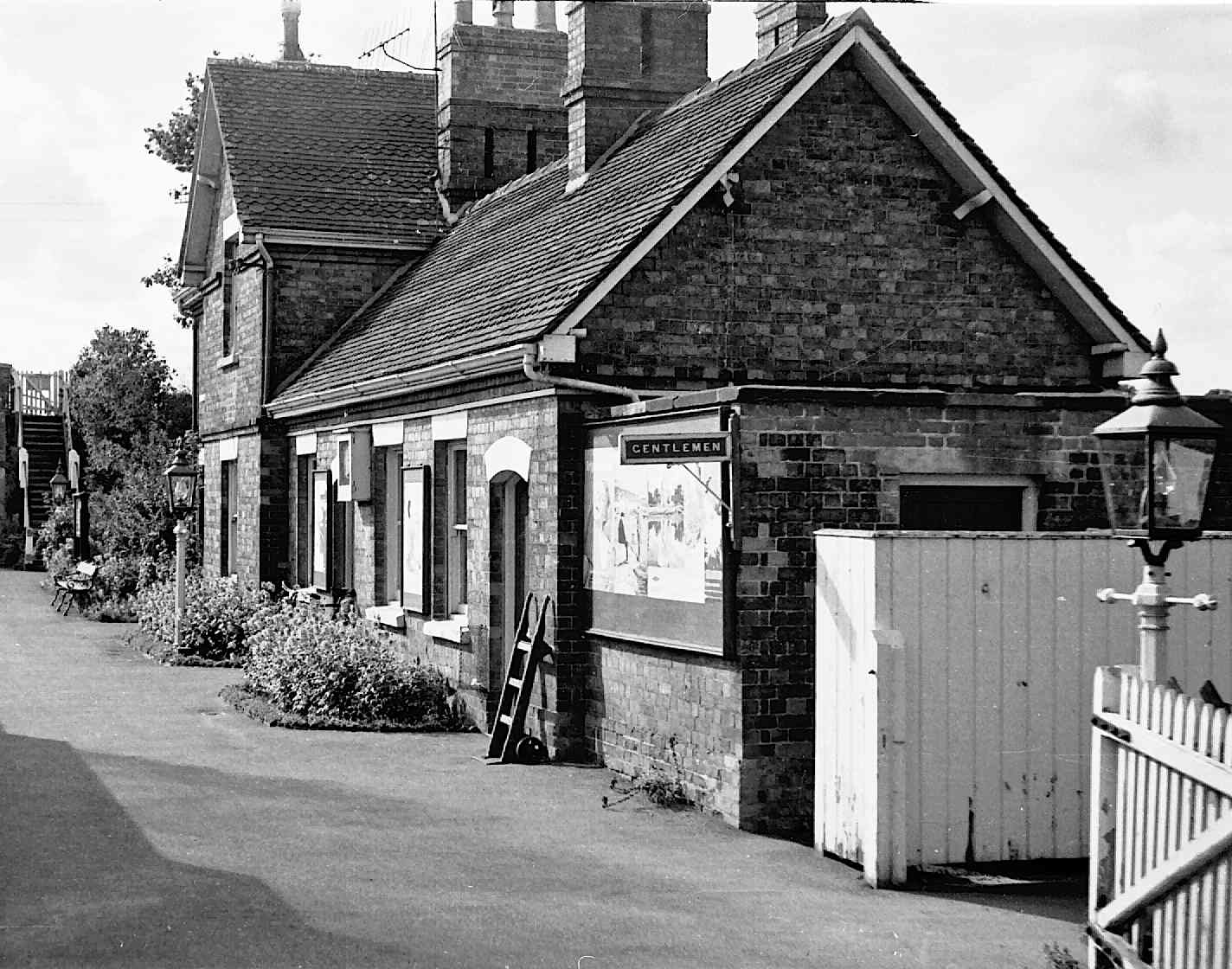
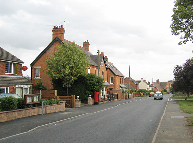
With a population of around 400 residents, Abbot's Salford exudes a tranquil and rural atmosphere. The village is known for its charming thatched cottages and historic buildings that date back to the 17th and 18th centuries. The local church, St. Matthew's, built in the 13th century, is a notable architectural gem that adds character to the village.

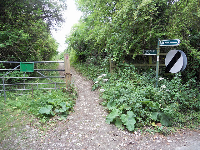
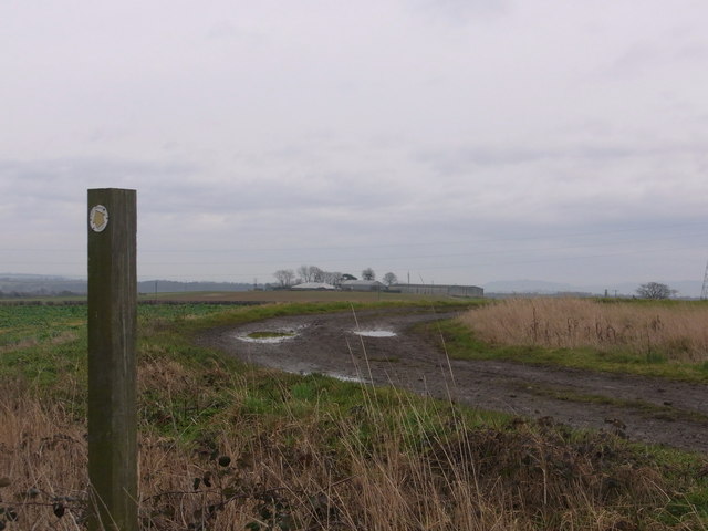
The surrounding countryside offers breathtaking views and is ideal for nature enthusiasts, offering numerous walking and cycling routes. The River Avon flows nearby, providing opportunities for fishing and boating. The fertile agricultural land ensures a vibrant farming community, and visitors can enjoy farm shops and pick-your-own fruit experiences in the area.

Despite its small size, Abbot's Salford boasts a strong community spirit. The village has a primary school, a village hall, and a local pub, The Masons Arms, which serves as a hub for social gatherings and community events.

For those seeking a peaceful escape from the hustle and bustle of city life, Abbot's Salford offers a serene and idyllic setting. Its rich history, natural beauty, and friendly community make it a charming destination worth exploring.

If you have any feedback on the listing, please let us know in the comments section below.

Abbot's Salford Images

Images are sourced within 2km of 52.149647/-1.901023 or Grid Reference SP0650. Thanks to Geograph Open Source API. All images are credited.

Footpath to Dunnington Footpath from Salford Priors to Marsh Farm and Dunnington.
Footpath to Dunnington
Footpath from Salford Priors to Marsh Farm and Dunnington.
Dandelions and buttercups Dandelions' heads and buttercups' flowers in a field beside a footpath near Salford Priors.
Dandelions and buttercups
Dandelions' heads and buttercups' flowers in a field beside a footpath near Salford Priors.
Bus shelter at Salford Priors
Houses in Salford Priors
Salford Priors Memorial Hall
Park Hall, Salford Priors Park Hall was built around 1880 to a design by William Tasker. Pevsner describes the house as 'Queen Anne, handled rather wildly, i.e. red brick with stone dressings. The house has been converted into apartments and the surrounding land built upon.
Park Hall, Salford Priors
Park Hall was built around 1880 to a design by William Tasker. Pevsner describes the house as 'Queen Anne, handled rather wildly, i.e. red brick with stone dressings. The house has been converted into apartments and the surrounding land built upon.
Tothall Lane, Salford Priors Cyclists disappear up Tothall Lane towards Dunnington.
Tothall Lane, Salford Priors
Cyclists disappear up Tothall Lane towards Dunnington.
Field of onions Field of onions at Salford Priors.
Field of onions
Field of onions at Salford Priors.
Footpath on Cleeve Hill
Footpath on Cleeve Hill ridge
Footpath beside the gallops
Field Barn Field Barn is a farm sitting on top of the Cleeve Hill scarp slope above the river Avon. It is halfway between Cleeve Prior and the Littletons.
Field Barn
Field Barn is a farm sitting on top of the Cleeve Hill scarp slope above the river Avon. It is halfway between Cleeve Prior and the Littletons.
Along the track towards Harvington Lodge Track NW/SE between Harvington and Atch Lench.
Along the track towards Harvington Lodge
Track NW/SE between Harvington and Atch Lench.
Track to Sewage Works This gated concrete track close to Salford Bridge over the river Arrow leads to a small sewage works between Slford Priors and Bidford. A few hundred metres downstream the River Arrow joins the River Avon.
Track to Sewage Works
This gated concrete track close to Salford Bridge over the river Arrow leads to a small sewage works between Slford Priors and Bidford. A few hundred metres downstream the River Arrow joins the River Avon.
A46 Heading South Approaching Island For B439
Anchor Lane Bridge crossing the A46 The A46 is an important cross-country route which runs from the West Country to the North Sea.  It starts to the east of Bath in Somerset and ends in Cleethorpes in North East Lincolnshire.  It is no longer a continuous route as large portions of the old (1923) road have been lost, bypassed, or replaced by motorway development. For more detail, see <span class="nowrap"><a title="http://en.wikipedia.org/wiki/A46_road" rel="nofollow ugc noopener" href="http://en.wikipedia.org/wiki/A46_road">Link</a><img style="margin-left:2px;" alt="External link" title="External link - shift click to open in new window" src="https://s1.geograph.org.uk/img/external.png" width="10" height="10"/></span> (Wikipedia Article).
Anchor Lane Bridge crossing the A46
The A46 is an important cross-country route which runs from the West Country to the North Sea. It starts to the east of Bath in Somerset and ends in Cleethorpes in North East Lincolnshire. It is no longer a continuous route as large portions of the old (1923) road have been lost, bypassed, or replaced by motorway development. For more detail, see LinkExternal link (Wikipedia Article).
Salford Priors railway station (site), Warwickshire Opened in 1866 on the Midland Railway's 'loop' line from Birmingham to Gloucester via Redditch, this station closed in 1963.
View across the site of the former platforms to the main building. The line ran left to right in front of the building, left to Evesham and Gloucester, right to Redditch and Birmingham.
Salford Priors railway station (site), Warwickshire
Opened in 1866 on the Midland Railway's 'loop' line from Birmingham to Gloucester via Redditch, this station closed in 1963. View across the site of the former platforms to the main building. The line ran left to right in front of the building, left to Evesham and Gloucester, right to Redditch and Birmingham.
Rainbow on a summer's day, New Inn Lane Nurseries Fuchsias and tomatoes are grown here.
Rainbow on a summer's day, New Inn Lane Nurseries
Fuchsias and tomatoes are grown here.
Show me another place!

Abbot's Salford is located at Grid Ref: SP0650 (Lat: 52.149647, Lng: -1.901023)

Administrative County: Warwickshire

District: Stratford-on-Avon

Police Authority: Warwickshire

What 3 Words

///phones.headline.aquatics. Near Harvington, Worcestershire

Nearby Locations

Abbot's Salford

Related Wikis

Nearby Amenities

Located within 500m of 52.149647,-1.901023
Bus Stop
Church
Bus: yes
Naptan AtcoCode: 4200F000101
Naptan Bearing: NE
Naptan CommonName: Church
Naptan Indicator: Opp
Naptan NaptanCode: waradgjw
Naptan Street: Main Road
Naptan Verified: no
Public Transport: platform
Source: naptan_import
Lat/Long: 52.148683/-1.9047112
Bus Stop
Church
Bus: yes
Naptan AtcoCode: 4200F000102
Naptan Bearing: S
Naptan CommonName: Church
Naptan Indicator: Adj
Naptan NaptanCode: waradgma
Naptan Street: Main Road
Naptan Verified: no
Public Transport: platform
Source: naptan_import
Lat/Long: 52.1483639/-1.9048368
Abbot's Salford
Place: village
Wikidata: Q4664191
Wikipedia: en:Abbot's Salford
Lat/Long: 52.1503252/-1.9030382
Post Box
Collection Times: Mo-Fr 09:00; Sa 07:00
Operator: Royal Mail
Operator Wikidata: Q638098
Post Box Type: lamp
Ref: WR11 5D
Royal Cypher: EIIR
Royal Cypher Wikidata: Q33102113
Source: survey
Lat/Long: 52.1511075/-1.9002643
Bus Stop
Valley Inn
Bus: yes
Naptan AtcoCode: 4200F000100
Naptan Bearing: NE
Naptan CommonName: Valley Inn
Naptan Indicator: Adj
Naptan NaptanCode: wardamad
Naptan Street: Main Road
Naptan Verified: no
Public Transport: platform
Source: naptan_import
Lat/Long: 52.1512197/-1.9002186
The data included in this document is from www.openstreetmap.org. The data is made available under ODbL.

Have you been to Abbot's Salford?

Leave your review of Abbot's Salford below (or comments, questions and feedback).