Abbots Ripton
Settlement in Huntingdonshire Huntingdonshire
England
Abbots Ripton
Abbots Ripton is a small village located in the county of Huntingdonshire, England. Situated approximately 3 miles east of Huntingdon, the village is nestled in the picturesque countryside of Cambridgeshire. With a population of around 300 residents, Abbots Ripton maintains a close-knit community atmosphere.
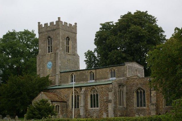
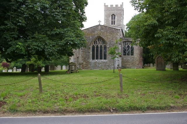
The village is renowned for its historical significance, dating back to the medieval era. It is home to the Grade I listed All Saints' Church, a stunning 13th-century building that showcases exquisite architectural features. The church serves as a focal point for the community and regularly hosts religious services and social events.
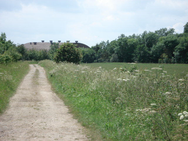
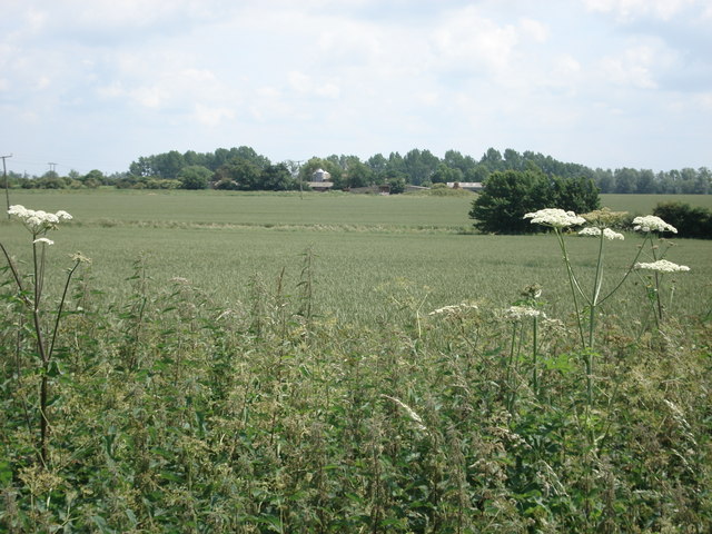
The surrounding landscape of Abbots Ripton is characterized by rolling hills, meandering rivers, and lush green fields, offering residents and visitors ample opportunities for outdoor activities and scenic walks. Nearby, the Riptons Nature Reserve is a haven for wildlife enthusiasts, boasting diverse flora and fauna.
Abbots Ripton is also well-known for hosting the annual Secret Garden Party, a popular music and arts festival that attracts attendees from all over the country. The festival takes place in the grounds of Abbots Ripton Hall, a grand country house that has been owned by the same family for over 250 years.
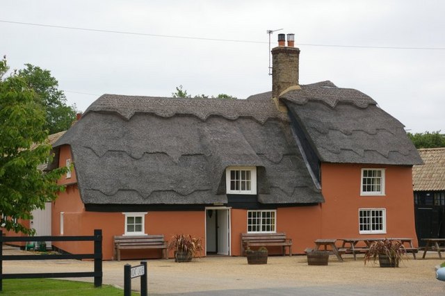
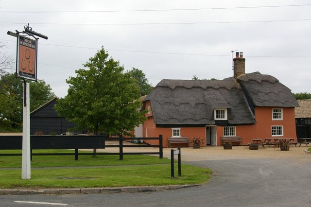
In terms of amenities, Abbots Ripton features a village hall, a primary school, and a local pub, providing essential services for its residents. While the village may be small in size, its rich history, natural beauty, and strong sense of community make Abbots Ripton a charming and desirable place to call home.
If you have any feedback on the listing, please let us know in the comments section below.
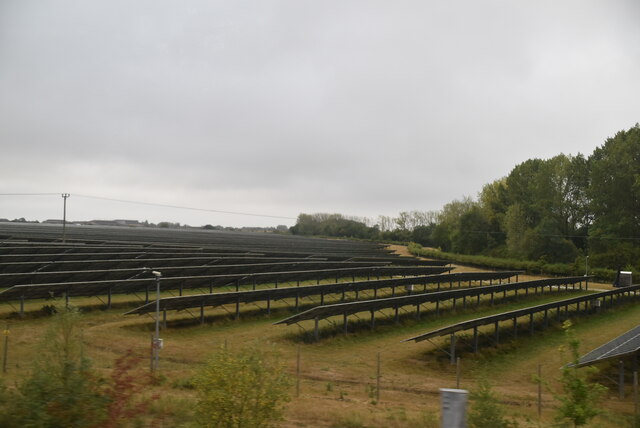
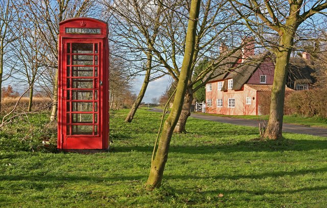
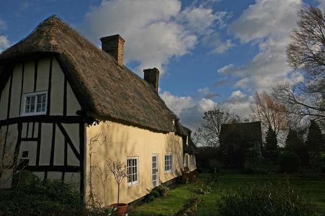
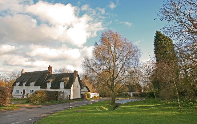
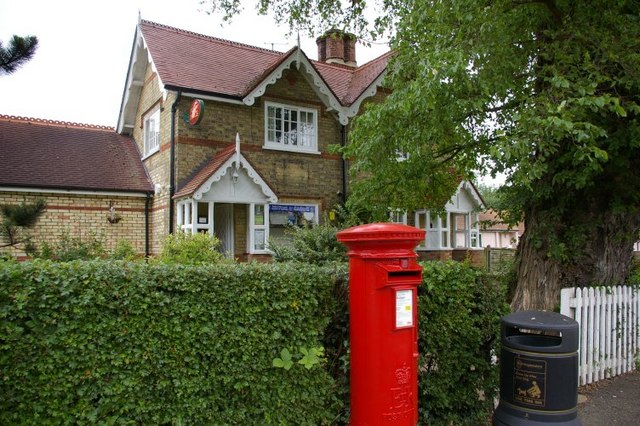
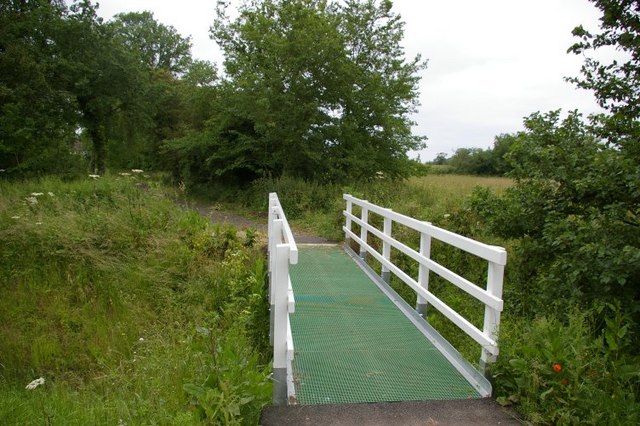
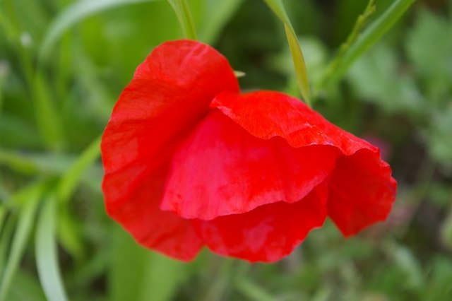
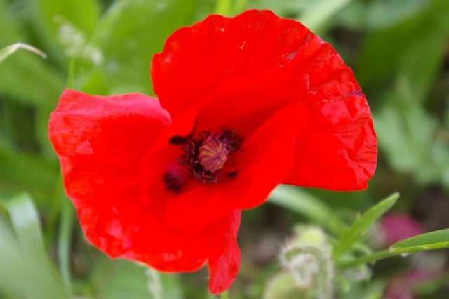
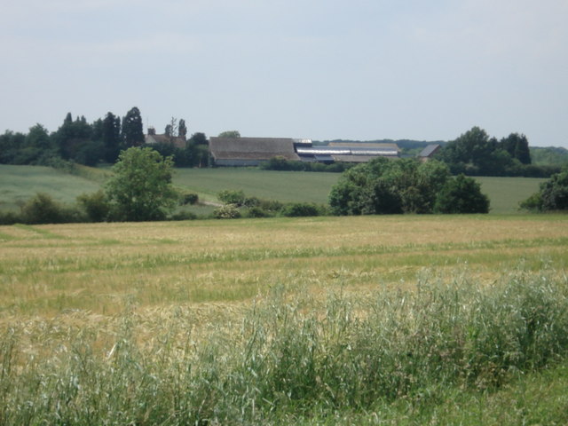
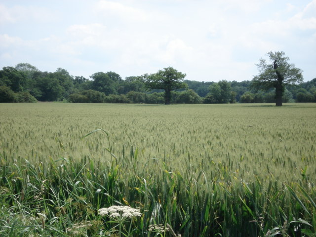
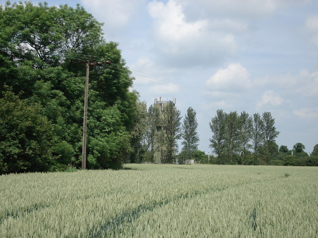
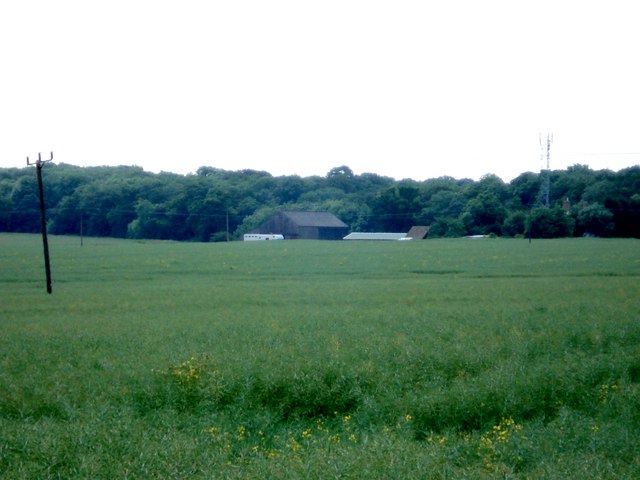
Abbots Ripton Images
Images are sourced within 2km of 52.387164/-0.193268 or Grid Reference TL2378. Thanks to Geograph Open Source API. All images are credited.
Abbots Ripton is located at Grid Ref: TL2378 (Lat: 52.387164, Lng: -0.193268)
Administrative County: Cambridgeshire
District: Huntingdonshire
Police Authority: Cambridgeshire
What 3 Words
///paddlers.clip.prone. Near Alconbury, Cambridgeshire
Nearby Locations
Related Wikis

Abbots Ripton
Abbots Ripton is a village and civil parish in Cambridgeshire, England. Abbots Ripton is situated within Huntingdonshire which is a non-metropolitan district...

Abbots Ripton rail accident
The Abbots Ripton rail disaster occurred on 21 January 1876 at Abbots Ripton, then in the county of Huntingdonshire, England, on the Great Northern Railway...
Abbots Ripton railway station
Abbots Ripton railway station was a railway station on the East Coast Main Line in the English county of Cambridgeshire. Although trains still pass on...

Secret Garden Party
The Secret Garden Party, often colloquially shortened to the SGP, is an independent arts and music festival which takes place in Abbots Ripton near Huntingdon...

Little Stukeley
Little Stukeley is a village and former civil parish, now in the parish of The Stukeleys, in Cambridgeshire, England. Little Stukeley lies approximately...
Alconbury High School
Alconbury High School is a public high school located in Alconbury, England, operated by the Department of Defense Education Activity (DoDEA). It is a...
Woodwalton
Wood Walton is a village and civil parish in Cambridgeshire, England. Wood Walton lies approximately 6 miles (10 km) north of Huntingdon and just east...

Great Stukeley Railway Cutting
Great Stukeley Railway Cutting is a 34.7-hectare (86-acre) biological Site of Special Scientific Interest in Huntingdon in Cambridgeshire.The site is on...
Nearby Amenities
Located within 500m of 52.387164,-0.193268Have you been to Abbots Ripton?
Leave your review of Abbots Ripton below (or comments, questions and feedback).