Abbots Ripton
Civil Parish in Huntingdonshire Huntingdonshire
England
Abbots Ripton
Abbots Ripton is a civil parish located in the county of Huntingdonshire, Cambridgeshire, England. Situated approximately 4 miles east of Huntingdon, the parish covers an area of about 1,400 acres and is home to a population of around 250 people.
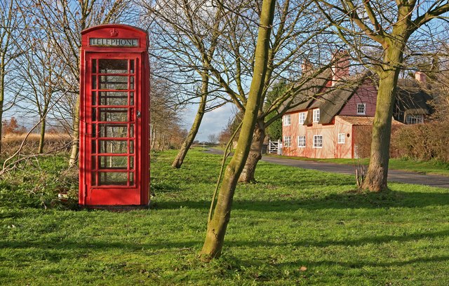
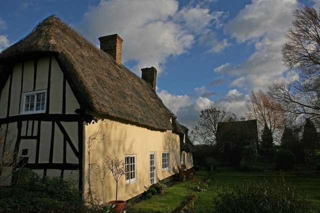
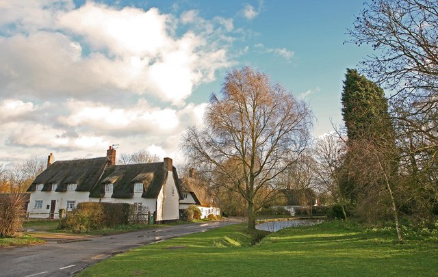
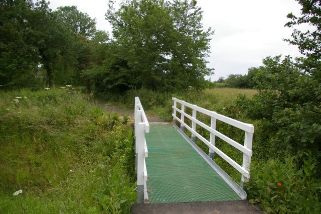
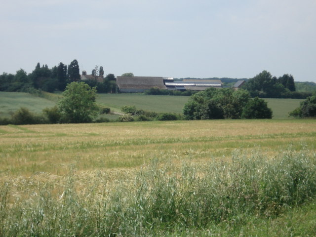
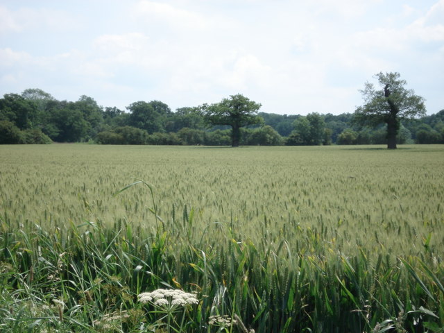
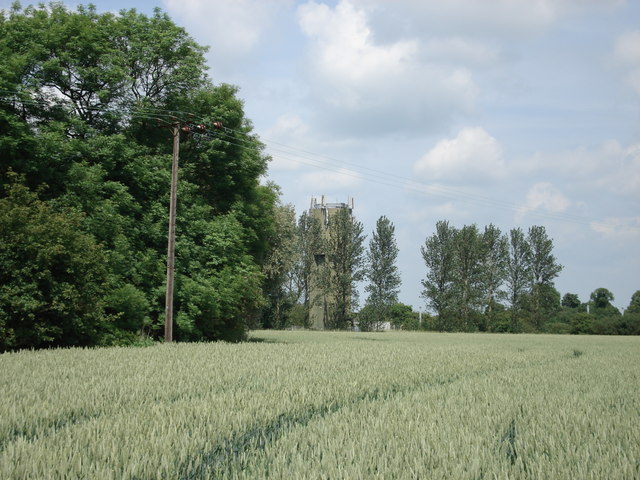
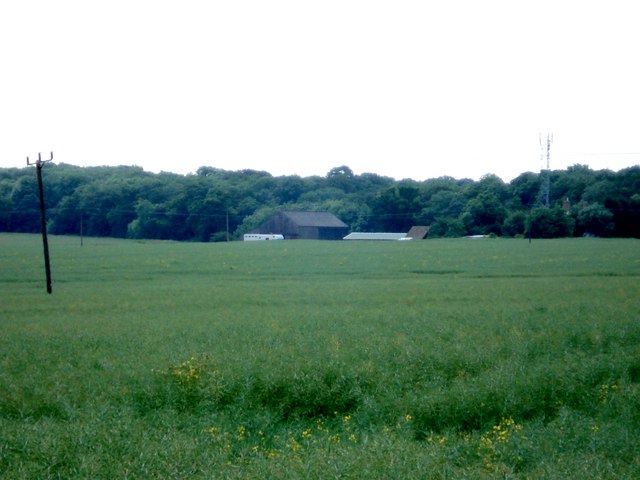
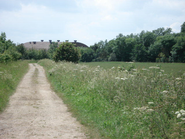
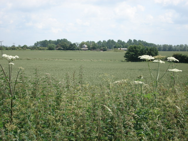
The village of Abbots Ripton is known for its picturesque setting, with a charming rural landscape that includes rolling hills, open fields, and woodlands. The village is surrounded by the River Great Ouse on its northern side, adding to its natural beauty.
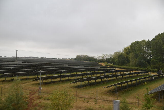
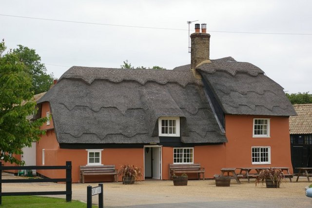
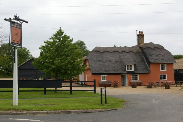
Historically, Abbots Ripton was an agricultural community, with farming being the main occupation for its inhabitants. Today, while farming still plays a significant role in the local economy, the village has also seen diversification with the introduction of other industries and services.
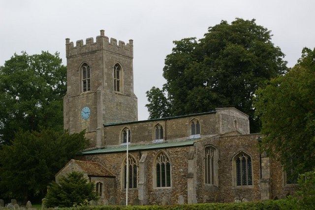
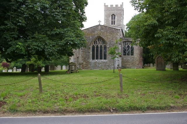
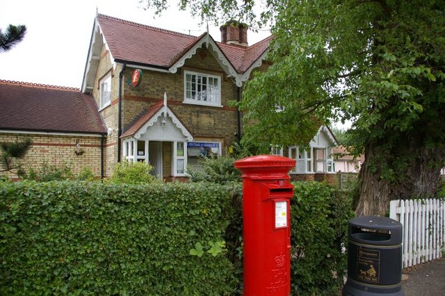
The village features several notable landmarks, including the Grade II listed All Saints Church, which dates back to the 13th century. The church's architecture and stained glass windows make it a popular attraction for visitors and locals alike.
Abbots Ripton also hosts various community events and activities throughout the year, such as the Abbots Ripton Garden Show, which showcases local horticulture and gardening expertise. The village has a strong sense of community spirit, with residents actively participating in various groups and organizations.
In summary, Abbots Ripton is a charming civil parish in Huntingdonshire, offering a peaceful and idyllic countryside setting, a rich history, and a tight-knit community.
If you have any feedback on the listing, please let us know in the comments section below.
Abbots Ripton Images
Images are sourced within 2km of 52.388851/-0.191273 or Grid Reference TL2378. Thanks to Geograph Open Source API. All images are credited.
Abbots Ripton is located at Grid Ref: TL2378 (Lat: 52.388851, Lng: -0.191273)
Administrative County: Cambridgeshire
District: Huntingdonshire
Police Authority: Cambridgeshire
What 3 Words
///symphonic.clasping.shorts. Near Alconbury, Cambridgeshire
Nearby Locations
Related Wikis

Abbots Ripton
Abbots Ripton is a village and civil parish in Cambridgeshire, England. Abbots Ripton is situated within Huntingdonshire which is a non-metropolitan district...

Abbots Ripton rail accident
The Abbots Ripton rail disaster occurred on 21 January 1876 at Abbots Ripton, then in the county of Huntingdonshire, England, on the Great Northern Railway...
Abbots Ripton railway station
Abbots Ripton railway station was a railway station on the East Coast Main Line in the English county of Cambridgeshire. Although trains still pass on...

Secret Garden Party
The Secret Garden Party, often colloquially shortened to the SGP, is an independent arts and music festival which takes place in Abbots Ripton near Huntingdon...

Little Stukeley
Little Stukeley is a village and former civil parish, now in the parish of The Stukeleys, in Cambridgeshire, England. Little Stukeley lies approximately...
Woodwalton
Wood Walton is a village and civil parish in Cambridgeshire, England. Wood Walton lies approximately 6 miles (10 km) north of Huntingdon and just east...
The Raveleys
Great Raveley and Little Raveley are villages near Upwood south of Ramsey. They are located in Huntingdonshire (now part of Cambridgeshire), England, 3½...
Alconbury High School
Alconbury High School is a public high school located in Alconbury, England, operated by the Department of Defense Education Activity (DoDEA). It is a...
Related Videos
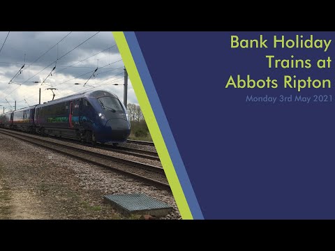
Bank Holiday Trains at Abbots Ripton (East Coast Mainline)
Somewhere that I used to go a lot but haven't been in a while, which is where the foot crossing used to be near Abbots Ripton, ...
Raiding Behind Enemy Lines #airsoft #shorts #airsoftgame
I am a sneaky hunt. Airsoft Loadout: Primary: BOLT BRSS AKSU74 Recoil AEG G&G Green Bucking ZCI 100:300 Helical gears ...
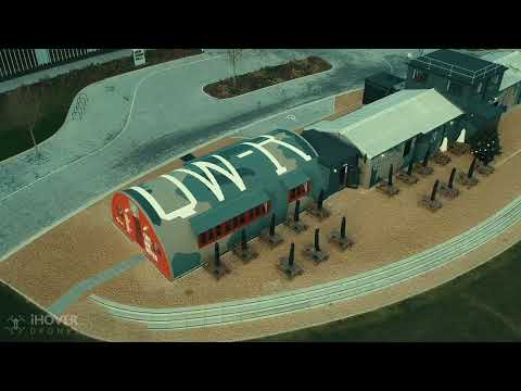
WW2 watch tower restaurant.
Beautifully restored WW2 watchtower @Bohemia Alconbury weald. Www.linktr.ee/iHoverDrones #drone #dronephotography #dji ...
DEATH NUT AT WORK GONE HORRIBLY WRONG... *WARNING*
This is a visual demonstration of how hot these are for a couple of "no-spice" white boys... Follow us on Insta ...
Nearby Amenities
Located within 500m of 52.388851,-0.191273Have you been to Abbots Ripton?
Leave your review of Abbots Ripton below (or comments, questions and feedback).