Abbots Morton

Civil Parish in Worcestershire Wychavon

England

Abbots Morton

Farmland at Radford This grid square is predominantly farmland with footpaths crossing it.
Farmland at Radford Credit: Philip Halling

Abbots Morton is a civil parish located in the county of Worcestershire, England. It is situated in the western part of the county, near the border with Warwickshire. The parish covers an area of approximately 4 square kilometers and has a population of around 300 people.

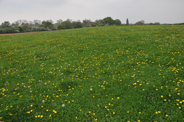
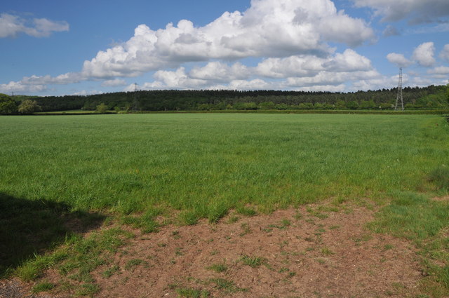
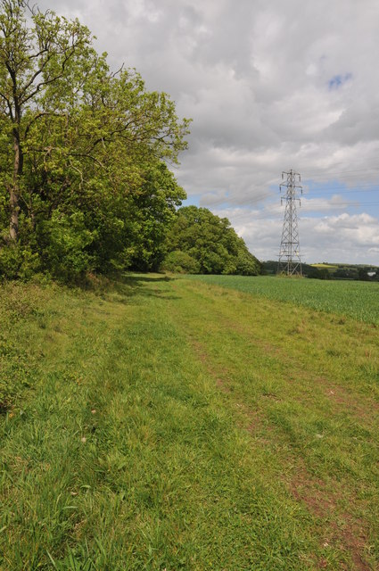
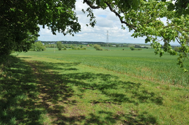
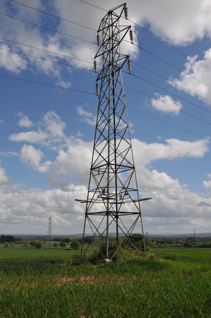
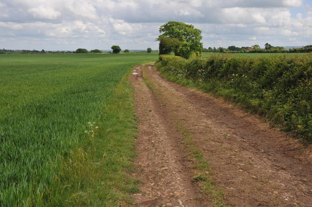
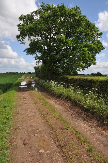
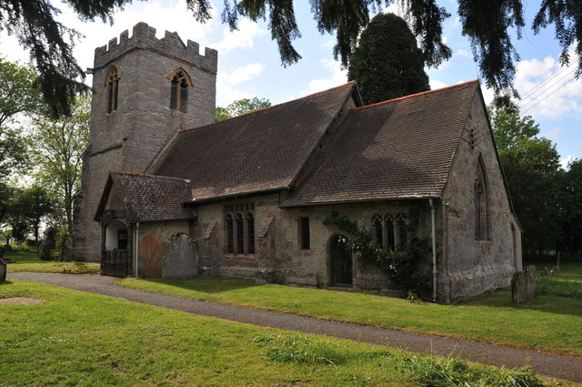
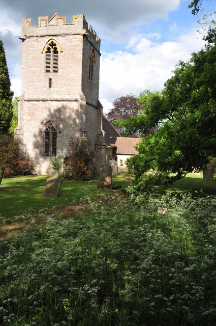
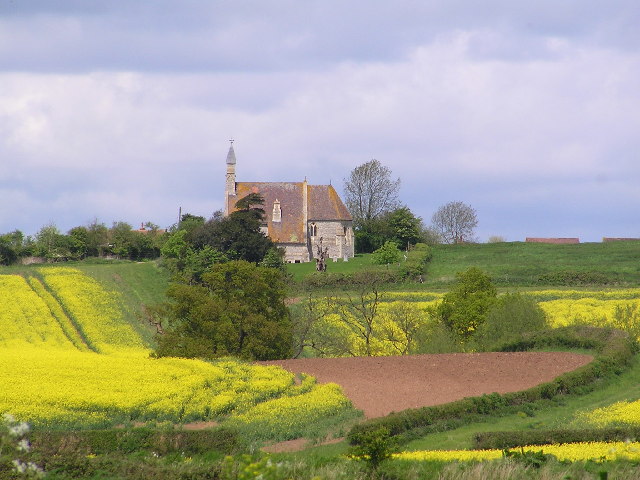
The village of Abbots Morton is known for its picturesque countryside and rural charm. It is surrounded by rolling hills, farmland, and woodland, making it an ideal location for those seeking tranquility and natural beauty. The village itself is small and compact, with a cluster of houses, a church, and a village hall.

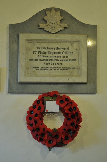
The origins of Abbots Morton can be traced back to the medieval period when it was part of the estates of the nearby Evesham Abbey. The village takes its name from the abbots who once held land here. Today, the influence of its historical past can still be seen in the village's architecture, with several historic buildings still standing.

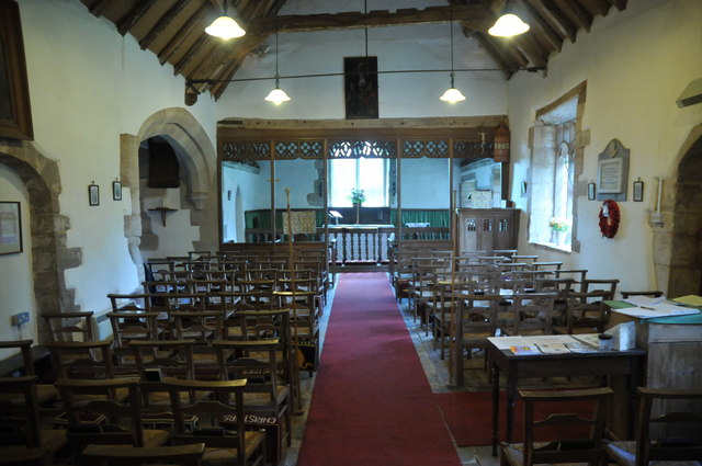
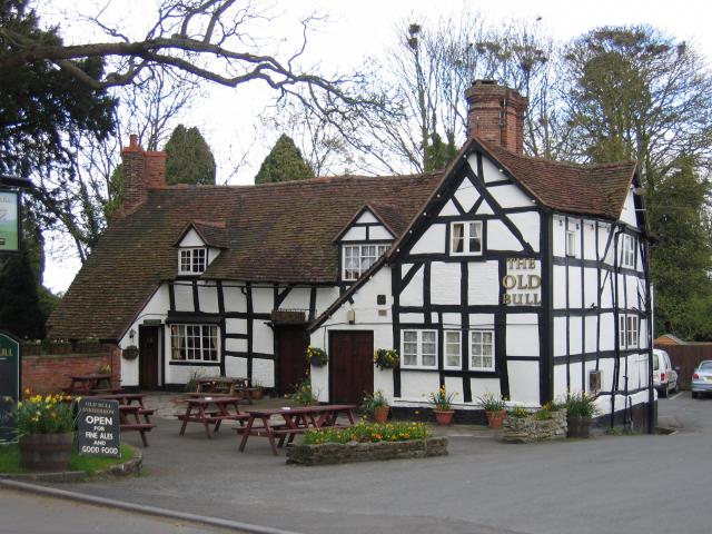
Despite its small size, Abbots Morton has a strong sense of community and offers a range of amenities to its residents. These include a village hall, which serves as a meeting place for various social and community events, and a local pub that acts as a focal point for villagers to gather and socialize.

Overall, Abbots Morton is a peaceful and idyllic village, offering a rural lifestyle with easy access to surrounding towns and cities. Its rich history, stunning countryside, and close-knit community make it a desirable place to live for those seeking a quintessential English village experience.

If you have any feedback on the listing, please let us know in the comments section below.

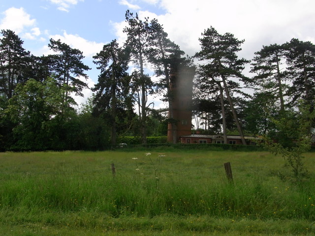
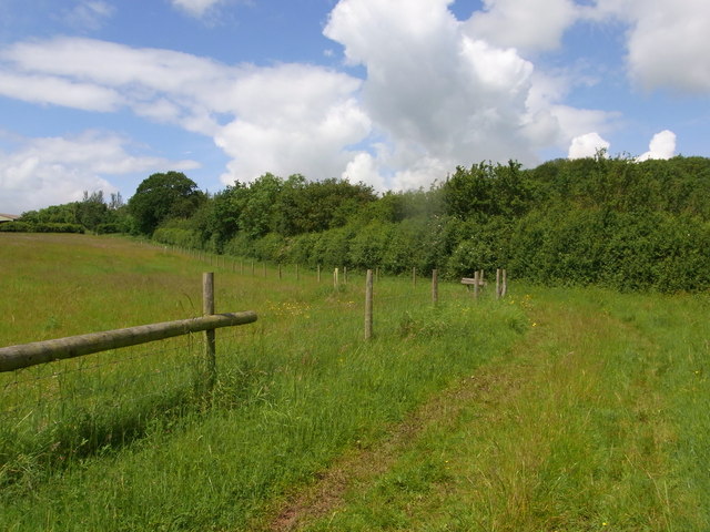
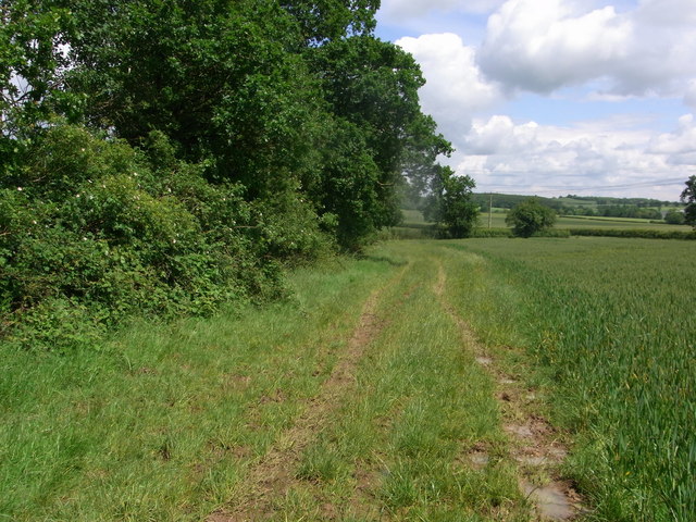
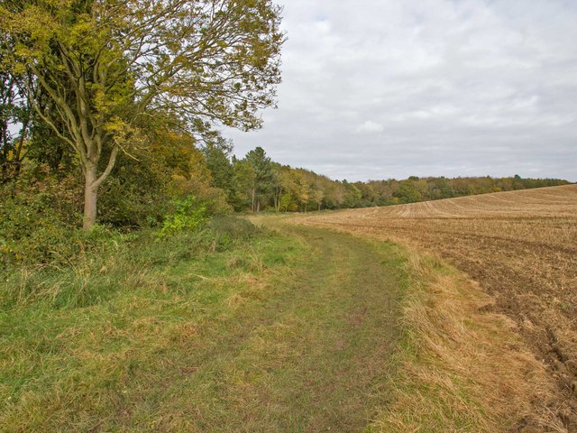
Abbots Morton Images

Images are sourced within 2km of 52.189103/-1.952456 or Grid Reference SP0354. Thanks to Geograph Open Source API. All images are credited.

Farmland at Radford This grid square is predominantly farmland with footpaths crossing it.
Farmland at Radford
This grid square is predominantly farmland with footpaths crossing it.
Arable land near Abbots Morton View across arable land to the east of Abbots Morton.
Arable land near Abbots Morton
View across arable land to the east of Abbots Morton.
On the border This bridleway follows the hedgerow which marks the county boundary between Worcestershire and Warwickshire.
On the border
This bridleway follows the hedgerow which marks the county boundary between Worcestershire and Warwickshire.
Arable land at Bevington Waste Arable land viewed from a bridleway at Bevington Waste.
Arable land at Bevington Waste
Arable land viewed from a bridleway at Bevington Waste.
Pylons at Bevington Waste Pylons carry power cables across farmland at Bevington Waste.
Pylons at Bevington Waste
Pylons carry power cables across farmland at Bevington Waste.
Pylons in arable land, Bevington Waste Pylons carry power cables through this large arable field at Bevington Waste.
Pylons in arable land, Bevington Waste
Pylons carry power cables through this large arable field at Bevington Waste.
Track to Cock Bevington Track and bridleway across arable land to Cock Bevington.
Track to Cock Bevington
Track and bridleway across arable land to Cock Bevington.
Track to Cock Bevington Track and bridleway to Cock Bevington.
Track to Cock Bevington
Track and bridleway to Cock Bevington.
Abbots Morton church
Abbots Morton church The tower of St Peter's church, Abbots Morton, dates from the 14th century.
Abbots Morton church
The tower of St Peter's church, Abbots Morton, dates from the 14th century.
Interior of Abbots Morton church View along the nave of St Peter's church, Abbots Morton.
Interior of Abbots Morton church
View along the nave of St Peter's church, Abbots Morton.
War Memorial in Abbots Morton church War memorial on the south wall of Abbots Morton church to Philip Raymond Collins who was killed in action in Mesopotamia on January 25, 1917.
War Memorial in Abbots Morton church
War memorial on the south wall of Abbots Morton church to Philip Raymond Collins who was killed in action in Mesopotamia on January 25, 1917.
Entrance to former icehouse ? Rous Lench Be careful, the grid that should guard the entrance is lying in the long grass just off the footpath. Some references are to an icehouse in the grounds of Rous Lench Court but nothing recent. The bricks are Victorian so it could have been built by mid C19.
Entrance to former icehouse ? Rous Lench
Be careful, the grid that should guard the entrance is lying in the long grass just off the footpath. Some references are to an icehouse in the grounds of Rous Lench Court but nothing recent. The bricks are Victorian so it could have been built by mid C19.
The Tower in grounds of Rous Lench Court The Tower is Grade II listed but appears to be private housing now.
The Tower in grounds of Rous Lench Court
The Tower is Grade II listed but appears to be private housing now.
Bridleway south of Slade Wood Looks dry but lots of standing water after several days of heavy rain.
Bridleway south of Slade Wood
Looks dry but lots of standing water after several days of heavy rain.
Bridleway alongside Commissioner's Wood Joins another bridleway at T-junction along hedge in sight.
Bridleway alongside Commissioner's Wood
Joins another bridleway at T-junction along hedge in sight.
Footpath round Weethley Wood Looking north from the footpath that runs round the eastern side of Weethley Wood.
Footpath round Weethley Wood
Looking north from the footpath that runs round the eastern side of Weethley Wood.
Dr Chafy's Tower, Rous Lench A folly Tower in the garden of Rous Lench Court, built around 1806.
Dr Chafy's Tower, Rous Lench
A folly Tower in the garden of Rous Lench Court, built around 1806.
Show me another place!

Abbots Morton is located at Grid Ref: SP0354 (Lat: 52.189103, Lng: -1.952456)

Administrative County: Worcestershire

District: Wychavon

Police Authority: West Mercia

What 3 Words

///essay.precluded.opened. Near Inkberrow, Worcestershire

Nearby Locations

Abbots Morton

Related Wikis

Abbots Morton

Abbots Morton is a village and civil parish in the English county of Worcestershire. It consists of approximately 70 dwellings and 250 people. It retains...

Goom's Hill

Goom's Hill is a location near Abbots Morton in Worcestershire, England.

Weethley

Weethley is a village and former civil parish on the B4088 road, now in the parish of Arrow with Weethley, in the Stratford-on-Avon district, in the county...

Radford, Worcestershire

Radford is a hamlet in the Wychavon district of Worcestershire, England. It is 1 mile SSW of Inkberrow. In 2013, Landscan population maps show there to...

Inkberrow Castle

Inkberrow Castle was situated in the village of Inkberrow in Worcestershire, some 10 km south of Redditch (grid reference SP017572). It was a castle built...

Inkberrow

Inkberrow is a village in Worcestershire, England, often thought to be the model for Ambridge, the setting of BBC Radio 4's long-running series The Archers...

Church Lench

Church Lench is a village and former civil parish, now in the parish of South Lenches, in the Wychavon district, in the county of Worcestershire, England...

Cookhill Priory

Cookhill Priory was a Cistercian nunnery near Cookhill in Worcestershire, England. == History == The Priory is believed to be founded by Isabel de Mauduit...

Nearby Amenities

Located within 500m of 52.189103,-1.952456
Abbots Morton Turn
Naptan AtcoCode: 2000G081601
Naptan Bearing: N
Naptan BusStopType: CUS
Naptan CommonName: Abbots Morton Turn
Naptan Indicator: Adj
Naptan Landmark: Village Road
Naptan NaptanCode: wocdgjpd
Naptan Street: Village Road
Naptan Verified: no
Source: naptan_import
Lat/Long: 52.1898272/-1.9584442
Bus Stop
Lower Barn Farm
Bus: yes
Naptan AtcoCode: 2000G501722
Naptan Bearing: NE
Naptan CommonName: Lower Barn Farm
Naptan Indicator: adj
Naptan Landmark: Lower Barn Farm
Naptan NaptanCode: wocgdgwp
Naptan Street: Abbots Morton
Naptan Verified: no
Public Transport: platform
Source: naptan_import
Lat/Long: 52.1899675/-1.9501618
Power: tower
Source: bing
Lat/Long: 52.187235/-1.9463523
Power: tower
Source: bing
Lat/Long: 52.1907145/-1.949233
Power: tower
Source: bing
Lat/Long: 52.1899877/-1.9486107
Power: tower
Source: bing
Lat/Long: 52.1925856/-1.9507833
Power: tower
Source: bing
Lat/Long: 52.1885078/-1.9473983
Barrier: stile
Lat/Long: 52.1858273/-1.9550031
Barrier: stile
Lat/Long: 52.1891929/-1.9554061
Barrier: stile
Lat/Long: 52.1892866/-1.955344
Gooms Hill East
Power: pole
Transformer: distribution
Voltage Primary: 11000
Lat/Long: 52.1901019/-1.9591686
Power: pole
Lat/Long: 52.1922555/-1.9575486
Power: pole
Lat/Long: 52.1926164/-1.9569263
Lower Barn
Power: pole
Transformer: distribution
Voltage Primary: 11000
Lat/Long: 52.1908612/-1.9482037
Power: pole
Lat/Long: 52.1911473/-1.947273
Power: pole
Lat/Long: 52.1913725/-1.9464737
The data included in this document is from www.openstreetmap.org. The data is made available under ODbL.

Have you been to Abbots Morton?

Leave your review of Abbots Morton below (or comments, questions and feedback).