Kings Worthy

Settlement in Hampshire Winchester

England

Kings Worthy

A33 Basingstoke Road Heading away from Winchester, a Roman road.
A33 Basingstoke Road Credit: Robin Webster

Kings Worthy is a charming village located in the county of Hampshire, England. Situated just two miles northeast of the historic city of Winchester, it is nestled against the picturesque South Downs National Park. The village has a population of around 3,000 people.

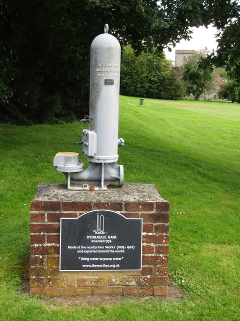
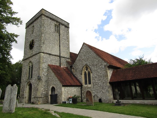
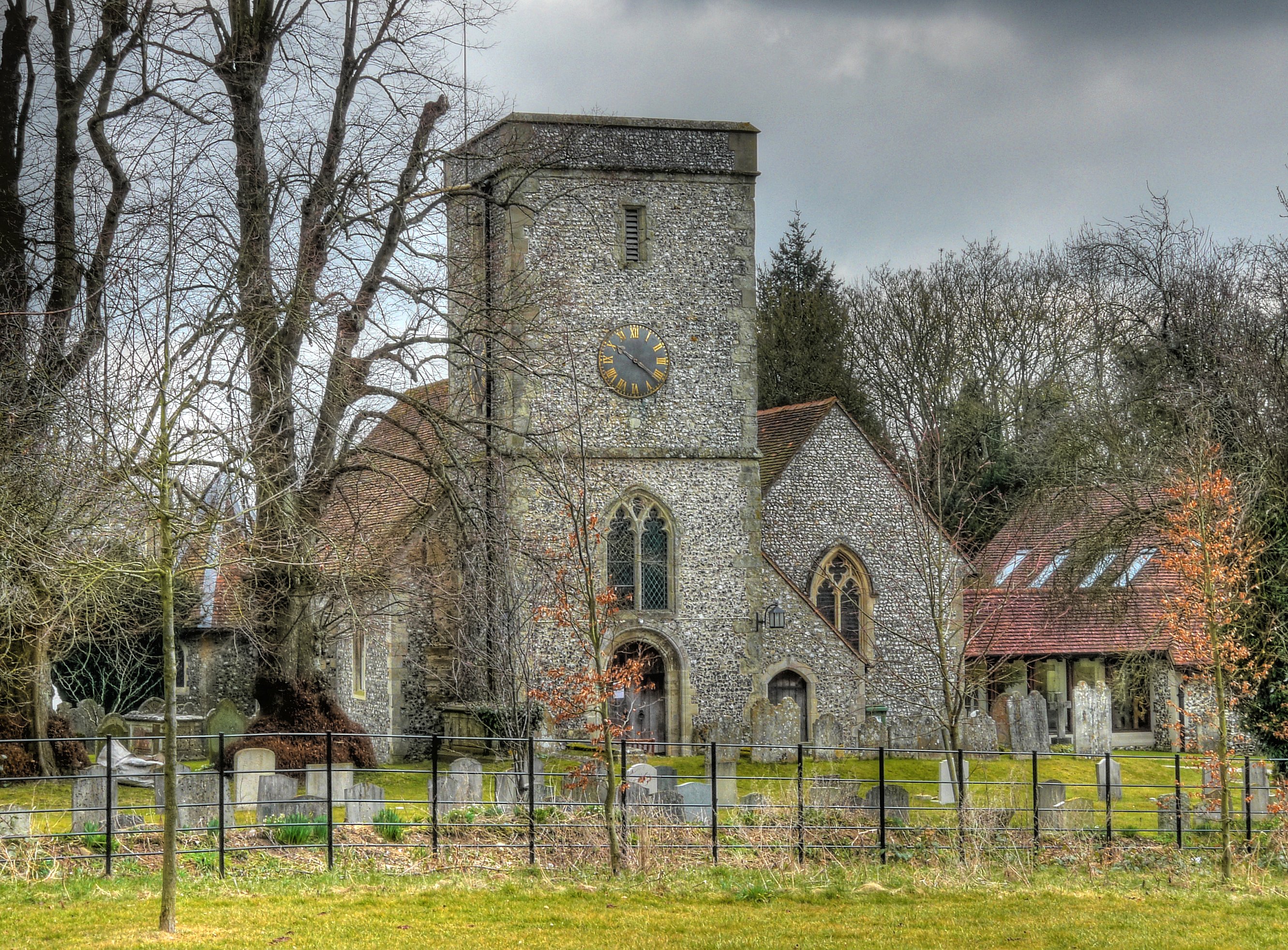
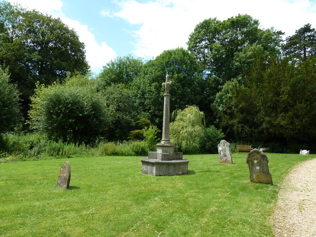
One of the notable features of Kings Worthy is its rich history. The village dates back to the Saxon times and has several ancient buildings, including the St. Mary's Church, which was built in the 12th century and is a prominent landmark in the area. The village also boasts a number of well-preserved thatched cottages, giving it a quintessentially English countryside charm.

Kings Worthy offers a range of amenities to its residents. There are several local shops, including a post office, convenience store, and a traditional village pub. The village also has a primary school, making it an attractive location for families.

The surrounding natural beauty provides ample opportunities for outdoor activities. The South Downs National Park offers stunning landscapes and is popular for hiking, cycling, and horse riding. The nearby River Itchen, well-known for its trout fishing, is a great spot for anglers.

Transport links in Kings Worthy are convenient, with regular bus services connecting the village to Winchester and other nearby towns. The M3 motorway is easily accessible, providing convenient access to London and other major cities.

Overall, Kings Worthy is a charming village with a rich history, stunning natural surroundings, and convenient amenities, making it an attractive place to live or visit in Hampshire.

If you have any feedback on the listing, please let us know in the comments section below.
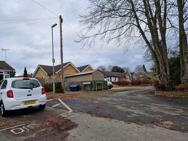
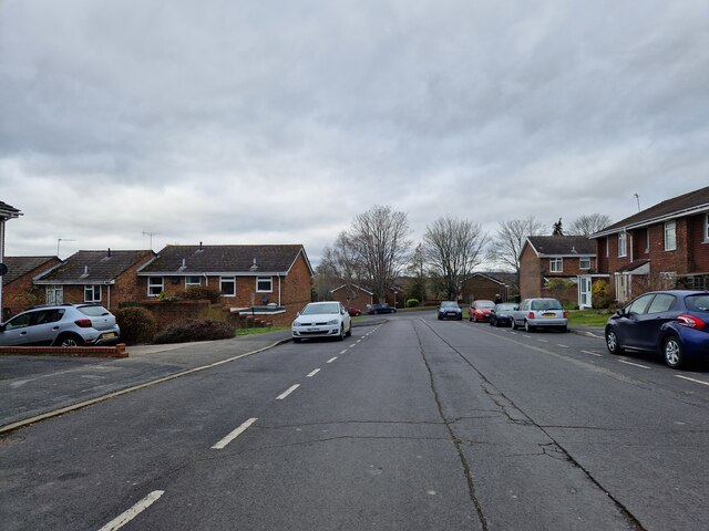
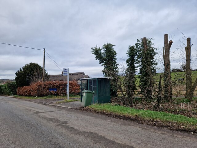
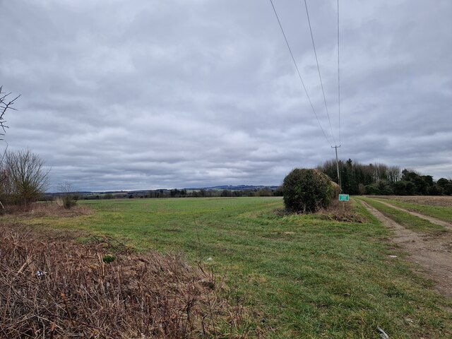
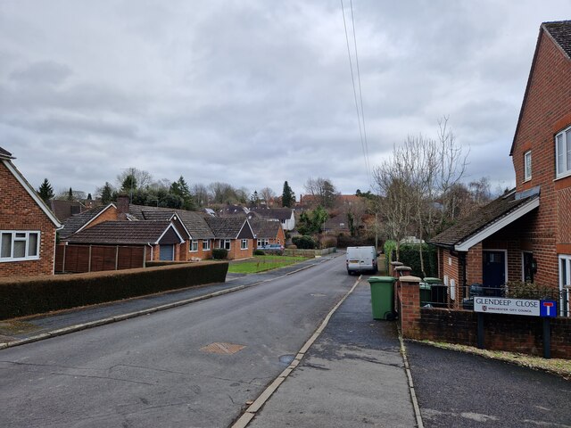
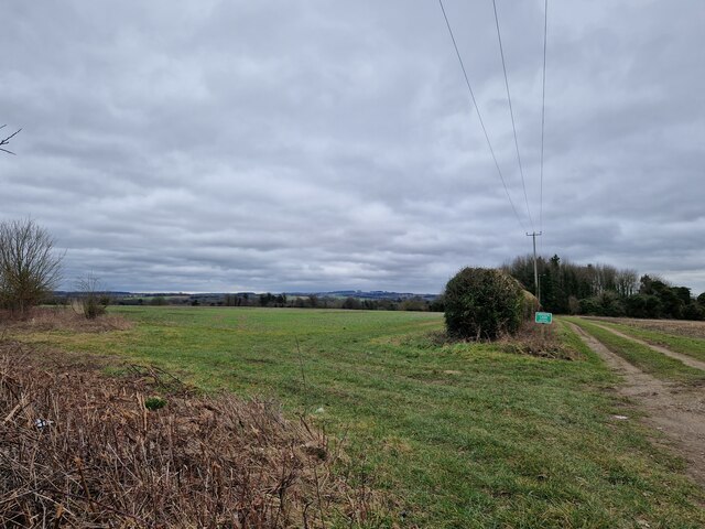
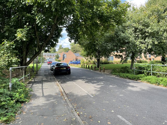
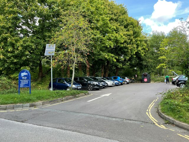
Kings Worthy Images

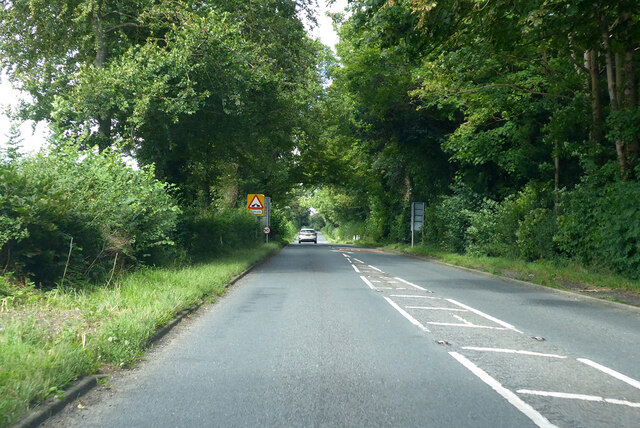
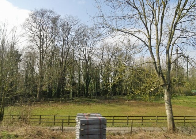
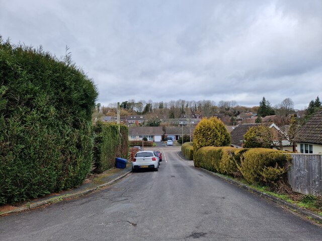
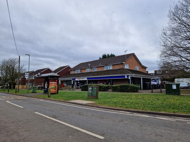
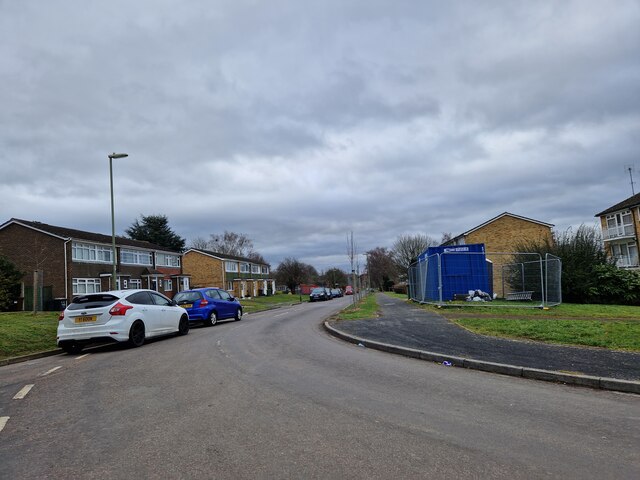
Images are sourced within 2km of 51.088634/-1.2978685 or Grid Reference SU4932. Thanks to Geograph Open Source API. All images are credited.

A33 Basingstoke Road Heading away from Winchester, a Roman road.
A33 Basingstoke Road
Heading away from Winchester, a Roman road.
Railway bridge- southbound A34
Speed limit change- southbound A34
Main entrance - Charters Community Stadium
Grazing near King's Worthy
Roberts Close: mid February 2023
Wandering westwards along the Bashire (41) Bus stop outside Tesco Express, King's Worthy
Wandering westwards along the Bashire (41)
Bus stop outside Tesco Express, King's Worthy
Looking southwards along Fraser Road
Wandering westwards along the Bashire (40) Looking from Mountbatten Place into Sherwood Close
Wandering westwards along the Bashire (40)
Looking from Mountbatten Place into Sherwood Close
Tovey Place: mid February 2023
Bus stop opposite Edinburgh Road
Farmland south-east of the road to Headbourne Worthy
Junction of Glendeep Close with Bentley Close
Field boundary seen from Down Farm Lane
Looking up Hillier Way
Hillier Way car park
Kings Worthy - Hydraulic Ram Memorial on the village green to a local industry - hydraulic rams were built at a nearby iron works in 1883-1982 and used for raising water. 
<span class="nowrap"><a title="https://www.hampshirechronicle.co.uk/news/18356043.made-hampshire---eco-friendly-hydraulic-ram/" rel="nofollow ugc noopener" href="https://www.hampshirechronicle.co.uk/news/18356043.made-hampshire---eco-friendly-hydraulic-ram/">Link</a><img style="margin-left:2px;" alt="External link" title="External link - shift click to open in new window" src="https://s1.geograph.org.uk/img/external.png" width="10" height="10"/></span>
Kings Worthy - Hydraulic Ram
Memorial on the village green to a local industry - hydraulic rams were built at a nearby iron works in 1883-1982 and used for raising water. LinkExternal link
Kings Worthy - St Mary's Church The oldest parts of the parish church, including the tower, are Norman but today's church is mostly Victorian.
<span class="nowrap"><a title="www.worthychurches.org.uk" rel="nofollow ugc noopener" href="http://www.worthychurches.org.uk">Link</a><img style="margin-left:2px;" alt="External link" title="External link - shift click to open in new window" src="https://s1.geograph.org.uk/img/external.png" width="10" height="10"/></span>
Kings Worthy - St Mary's Church
The oldest parts of the parish church, including the tower, are Norman but today's church is mostly Victorian. LinkExternal link
Show me another place!

Kings Worthy is located at Grid Ref: SU4932 (Lat: 51.088634, Lng: -1.2978685)

Administrative County: Hampshire

District: Winchester

Police Authority: Hampshire

What 3 Words

///skipped.clarifies.imagined. Near Kings Worthy, Hampshire

Nearby Locations

Kings Worthy Abbots Worthy

Related Wikis

Kings Worthy

Kings Worthy is a village and civil parish in Hampshire, England, approximately two miles north-east of Winchester. Kings Worthy was a tithing of Barton...

The Worthys

The Worthys is a cluster of villages in the City of Winchester district of Hampshire, located north and north-east of the city itself.Abbots Worthy Headbourne...

King's Worthy railway station

King's Worthy railway station was a station on the Didcot, Newbury and Southampton Railway in England. It was built in 1909 as a direct petition from local...

Headbourne Worthy

Headbourne Worthy (formerly Worthy Mortimer) is a village and former manor within the City of Winchester district of Hampshire, England. The parish also...

Nearby Amenities

Located within 500m of 51.088634,-1.2978685
Barrier: kissing_gate
Lat/Long: 51.0871519/-1.2913896
Addr City: Winchester
Addr Country: GB
Addr Postcode: SO23 7QN
Addr Street: London Road
Addr Village: Kingsworthy
Lat/Long: 51.0895657/-1.2959208
Kings Worthy
Is In: Hampshire, England, UK
Place: village
Population: 4435
Lat/Long: 51.0889815/-1.2975132
Barrier: kissing_gate
Lat/Long: 51.0860281/-1.2994318
Bus Stop
Taylors Corner
Bus: yes
Naptan AtcoCode: 1900HA110178
Naptan Bearing: SW
Naptan CommonName: Taylors Corner
Naptan Crossing: Bedfield Lane
Naptan NaptanCode: hamdjdpg
Naptan PlusbusZoneRef: WNCHSTR
Naptan Street: London Road A3090
Naptan Verified: no
Public Transport: platform
Source: naptan_import
Lat/Long: 51.086781/-1.302782
Bus Stop
Kings Worthy Church
Bus: yes
Naptan AtcoCode: 1900HA110179
Naptan Bearing: NE
Naptan CommonName: Kings Worthy Church
Naptan Crossing: Court Road
Naptan NaptanCode: hamdjgtw
Naptan PlusbusZoneRef: WNCHSTR
Naptan Street: London Road
Naptan Verified: no
Public Transport: platform
Source: naptan_import
Lat/Long: 51.0884054/-1.298982
Bus Stop
Kings Worthy Church
Bus: yes
Naptan AtcoCode: 1900HA110180
Naptan Bearing: SW
Naptan CommonName: Kings Worthy Church
Naptan Crossing: Opp Court Road
Naptan NaptanCode: hamdjgwa
Naptan PlusbusZoneRef: WNCHSTR
Naptan Street: London Road
Naptan Verified: no
Public Transport: platform
Source: naptan_import
Lat/Long: 51.0883199/-1.2988352
Bus Stop
Cart and Horses Ph
Bus: yes
Naptan AtcoCode: 1900HA110182
Naptan Bearing: SW
Naptan CommonName: Cart and Horses Ph
Naptan Crossing: Winchester By-pass
Naptan NaptanCode: hamdjmpg
Naptan PlusbusZoneRef: WNCHSTR
Naptan Street: London Road
Naptan Verified: no
Public Transport: platform
Source: naptan_import
Lat/Long: 51.089564/-1.2960005
Bus Stop
Cart and Horses Ph
Bus: yes
Naptan AtcoCode: 1900HA110322
Naptan Bearing: E
Naptan BusStopType: CUS
Naptan CommonName: Cart and Horses Ph
Naptan Crossing: Winchester-by-pass
Naptan NaptanCode: hamdjmpw
Naptan PlusbusZoneRef: WNCHSTR
Naptan Street: London Road B3047
Naptan Verified: no
Public Transport: platform
Source: naptan_import
Lat/Long: 51.0900733/-1.2954645
Bus Stop
Taylors Corner
Bus: yes
Naptan AtcoCode: 1900HAA13713
Naptan Bearing: E
Naptan BusStopType: CUS
Naptan CommonName: Taylors Corner
Naptan Crossing: Bedfield Lane
Naptan NaptanCode: hamdjdmt
Naptan PlusbusZoneRef: WNCHSTR
Naptan Street: London Road A3090
Naptan Verified: no
Public Transport: platform
Source: naptan_import
Lat/Long: 51.0867738/-1.3030963
Natural: wetland
Wetland: marsh
Lat/Long: 51.0877682/-1.293747
Crossing
Crossing: uncontrolled
Kerb: lowered
Lat/Long: 51.0878965/-1.2994091
Crossing
Crossing Island: yes
Kerb: lowered
Lat/Long: 51.0888613/-1.2953245
Crossing
Crossing Island: yes
Kerb: lowered
Lat/Long: 51.0887187/-1.2974775
Crossing
Crossing: unmarked
Crossing Markings: no
Kerb: raised
Lat/Long: 51.090611/-1.2944731
Post Box
Post Box Type: lamp
Ref: SO23 18D
Royal Cypher: EIIR
Royal Cypher Wikidata: Q33102113
Lat/Long: 51.086773/-1.3037066
Crossing
Crossing Island: yes
Kerb: lowered
Lat/Long: 51.0884122/-1.2987536
Crossing
Crossing: unmarked
Crossing Markings: no
Kerb: lowered
Lat/Long: 51.0890451/-1.2967602
Crossing
Bicycle: yes
Crossing Island: yes
Kerb: lowered
Lat/Long: 51.0866676/-1.3033557
Crossing
Bicycle: yes
Crossing: unmarked
Crossing Markings: no
Kerb: lowered
Lat/Long: 51.0864287/-1.303684
Crossing
Crossing: unmarked
Crossing Markings: no
Kerb: lowered
Lat/Long: 51.0868315/-1.304078
Post Box
Post Box Type: lamp
Ref: SO23 24D
Royal Cypher: EIIR
Royal Cypher Wikidata: Q33102113
Lat/Long: 51.0926846/-1.3006304
Crossing
Crossing: unmarked
Crossing Markings: no
Kerb: lowered
Lat/Long: 51.087941/-1.3002938
Crossing
Crossing: unmarked
Crossing Markings: no
Kerb: lowered
Lat/Long: 51.088348/-1.2992182
Crossing
Crossing: unmarked
Crossing Markings: no
Kerb: lowered
Lat/Long: 51.0885643/-1.2981556
Crossing
Crossing: unmarked
Crossing Markings: no
Kerb: lowered
Lat/Long: 51.0887682/-1.2979975
Snows Winchester
Addr Postcode: SO23 7QD
Shop: car
Lat/Long: 51.0880245/-1.3009166
Cafe
Winchester Coffee Roasters
Addr City: Winchester
Addr Housename: The Foundry
Addr Housenumber: 4a
Addr Place: Kings Worthy
Addr Postcode: SO23 7TT
Cuisine: coffee_shop
Website: https://winchestercoffeeroasters.co.uk/
Lat/Long: 51.0873139/-1.2995968
Barrier: kissing_gate
Lat/Long: 51.0868011/-1.2988419
Barrier: kerb
Kerb: raised
Lat/Long: 51.0905709/-1.2944885
Crossing
Crossing: unmarked
Crossing Markings: no
Kerb: lowered
Source: Bing
Lat/Long: 51.0880636/-1.2995507
Crossing
Crossing Island: yes
Kerb: lowered
Lat/Long: 51.0899147/-1.2950662
Crossing
Crossing Island: yes
Kerb: lowered
Lat/Long: 51.0899018/-1.2949158
Crossing
Crossing Island: yes
Kerb: lowered
Lat/Long: 51.0888262/-1.2952126
Crossing
Crossing: unmarked
Crossing Markings: no
Kerb: lowered
Lat/Long: 51.0898224/-1.2958488
Post Box
Post Box Type: pillar
Ref: SO23 86
Royal Cypher: EIIR
Royal Cypher Wikidata: Q33102113
Lat/Long: 51.0896221/-1.295925
Crossing
Lat/Long: 51.0900255/-1.3011285
Crossing
Lat/Long: 51.0902706/-1.3004684
Crossing
Lat/Long: 51.0904699/-1.3000798
Crossing
Lat/Long: 51.0867993/-1.3039004
Parking
Lat/Long: 51.0900169/-1.3018824
Crossing
Crossing: uncontrolled
Kerb: lowered
Lat/Long: 51.087948/-1.2993854
Bench
Lat/Long: 51.0877197/-1.2980955
Bench
Lat/Long: 51.0881844/-1.2989155
Playground: structure
Lat/Long: 51.0907019/-1.3033718
Playground: structure
Lat/Long: 51.0907205/-1.3032246
Direction: SW
Generator Method: photovoltaic
Generator Output Electricity: yes
Generator Solar Modules: 44
Generator Source: solar
Generator Type: solar_photovoltaic_panel
Location: roof
Power: generator
Lat/Long: 51.0881867/-1.3014386
Direction: SW
Generator Method: photovoltaic
Generator Output Electricity: yes
Generator Solar Modules: 44
Generator Source: solar
Generator Type: solar_photovoltaic_panel
Location: roof
Power: generator
Lat/Long: 51.0880461/-1.3012515
Direction: SW
Generator Method: photovoltaic
Generator Output Electricity: yes
Generator Solar Modules: 76
Generator Source: solar
Generator Type: solar_photovoltaic_panel
Location: roof
Power: generator
Lat/Long: 51.0878345/-1.3010471
Direction: 215
Generator Method: photovoltaic
Generator Output Electricity: yes
Generator Solar Modules: 15
Generator Source: solar
Generator Type: solar_photovoltaic_panel
Location: roof
Power: generator
Lat/Long: 51.0915209/-1.3026277
Kings Worthy Station
Historic: station
Wikidata: Q6411139
Wikipedia: en:King's Worthy railway station
Lat/Long: 51.0856795/-1.2994766
The data included in this document is from www.openstreetmap.org. The data is made available under ODbL.

Have you been to Kings Worthy?

Leave your review of Kings Worthy below (or comments, questions and feedback).